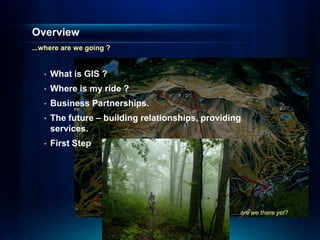
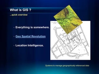
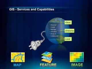
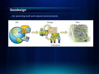
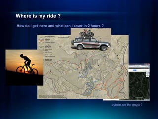
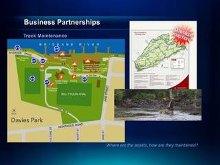
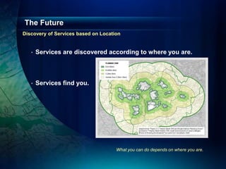
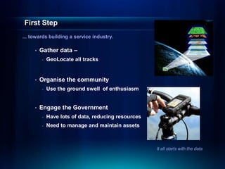
This document discusses geodesign and how geographic information systems (GIS) can be used to plan transportation networks. It outlines how GIS allows everything to be located and enables the discovery of location-based services. The document proposes using GIS to map train tracks, organize the cycling community, and engage the government to manage transportation assets. The goal is to build a service industry around geodesign and location intelligence to help people find routes and plan trips using maps.