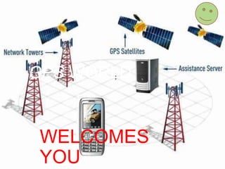
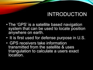
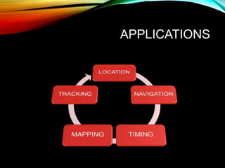
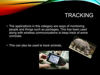
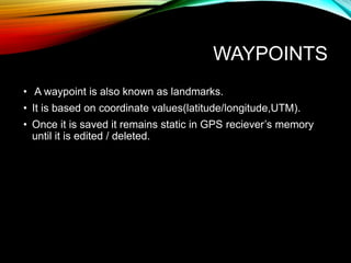
GPS WORLD
WELCOMES
YOU
INTRODUCTION
• The ‘GPS’ is a satellite based navigation
system that can be used to locate position
anywhere on earth.
• It is first used for defense purpose in U.S.
• GPS receivers take information
transmitted from the satellite & uses
triangulation to calculate a users exact
location.
INVENTORS
APPLICATIONS
LOCATION
• This category is for position determination and is the most
obvious use of the Global Positioning System. GPS is the first
system that can give accurate and precise measurements
anytime, anywhere and under any weather conditions.
• Example: Measuring the movement of volcanoes and
glaciers.
NAVIGATION
• Navigation is the process of getting from one location to
another. This was the what the Global Positioning System
was designed for. The GPS system allows us to navigate on
water, air, or land.
TIMING
• GPS brings precise timing to the us all. Each satellite is
equipped with an extremely precise atomic clock.
• This is why we can all synchronize our watches so well and
make sure international events are actually happening at the
same time.
MAPPING
• This is used for creating maps by recording a series of
locations. The best example is surveying where the DGPS
technique is applied but with a twist.
• Instead of making error corrections in real time, both the
stationary and moving receivers calculate their positions using
the satellite signals.
TRACKING
• The applications in this category are ways of monitoring
people and things such as packages. This has been used
along with wireless communications to keep track of some
criminals.
• This can also be used to track animals.
WAYPOINTS
• A waypoint is also known as landmarks.
• It is based on coordinate values(latitude/longitude,UTM).
• Once it is saved it remains static in GPS reciever’s memory
until it is edited / deleted.
Gps.exe
Gps.exe

Gps.exe

  • 1.
  • 2.
    INTRODUCTION • The ‘GPS’is a satellite based navigation system that can be used to locate position anywhere on earth. • It is first used for defense purpose in U.S. • GPS receivers take information transmitted from the satellite & uses triangulation to calculate a users exact location.
  • 3.
  • 5.
  • 6.
    LOCATION • This categoryis for position determination and is the most obvious use of the Global Positioning System. GPS is the first system that can give accurate and precise measurements anytime, anywhere and under any weather conditions. • Example: Measuring the movement of volcanoes and glaciers.
  • 7.
    NAVIGATION • Navigation isthe process of getting from one location to another. This was the what the Global Positioning System was designed for. The GPS system allows us to navigate on water, air, or land.
  • 8.
    TIMING • GPS bringsprecise timing to the us all. Each satellite is equipped with an extremely precise atomic clock. • This is why we can all synchronize our watches so well and make sure international events are actually happening at the same time.
  • 9.
    MAPPING • This isused for creating maps by recording a series of locations. The best example is surveying where the DGPS technique is applied but with a twist. • Instead of making error corrections in real time, both the stationary and moving receivers calculate their positions using the satellite signals.
  • 10.
    TRACKING • The applicationsin this category are ways of monitoring people and things such as packages. This has been used along with wireless communications to keep track of some criminals. • This can also be used to track animals.
  • 11.
    WAYPOINTS • A waypointis also known as landmarks. • It is based on coordinate values(latitude/longitude,UTM). • Once it is saved it remains static in GPS reciever’s memory until it is edited / deleted.