Embed presentation
Downloaded 495 times


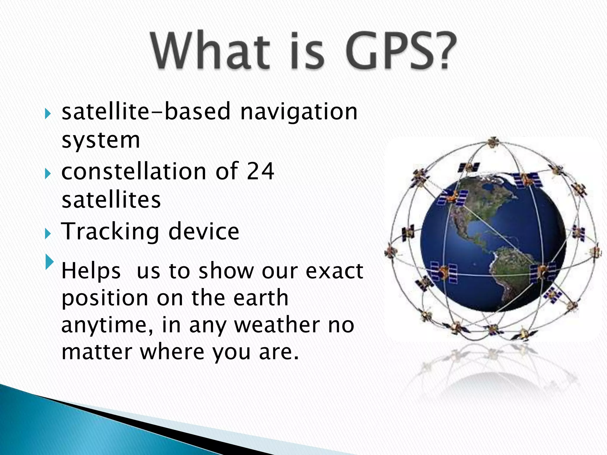
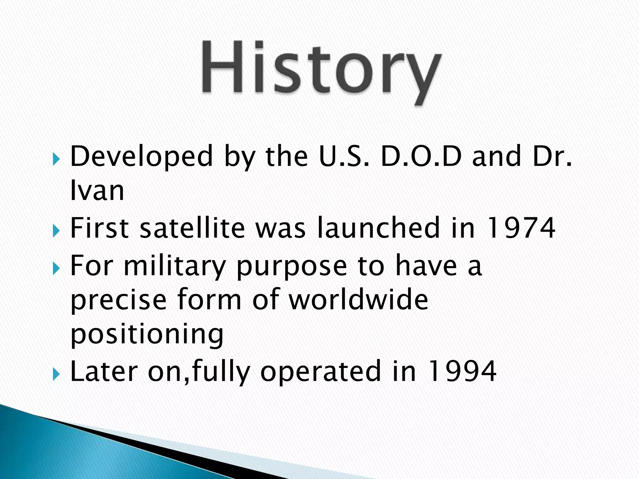
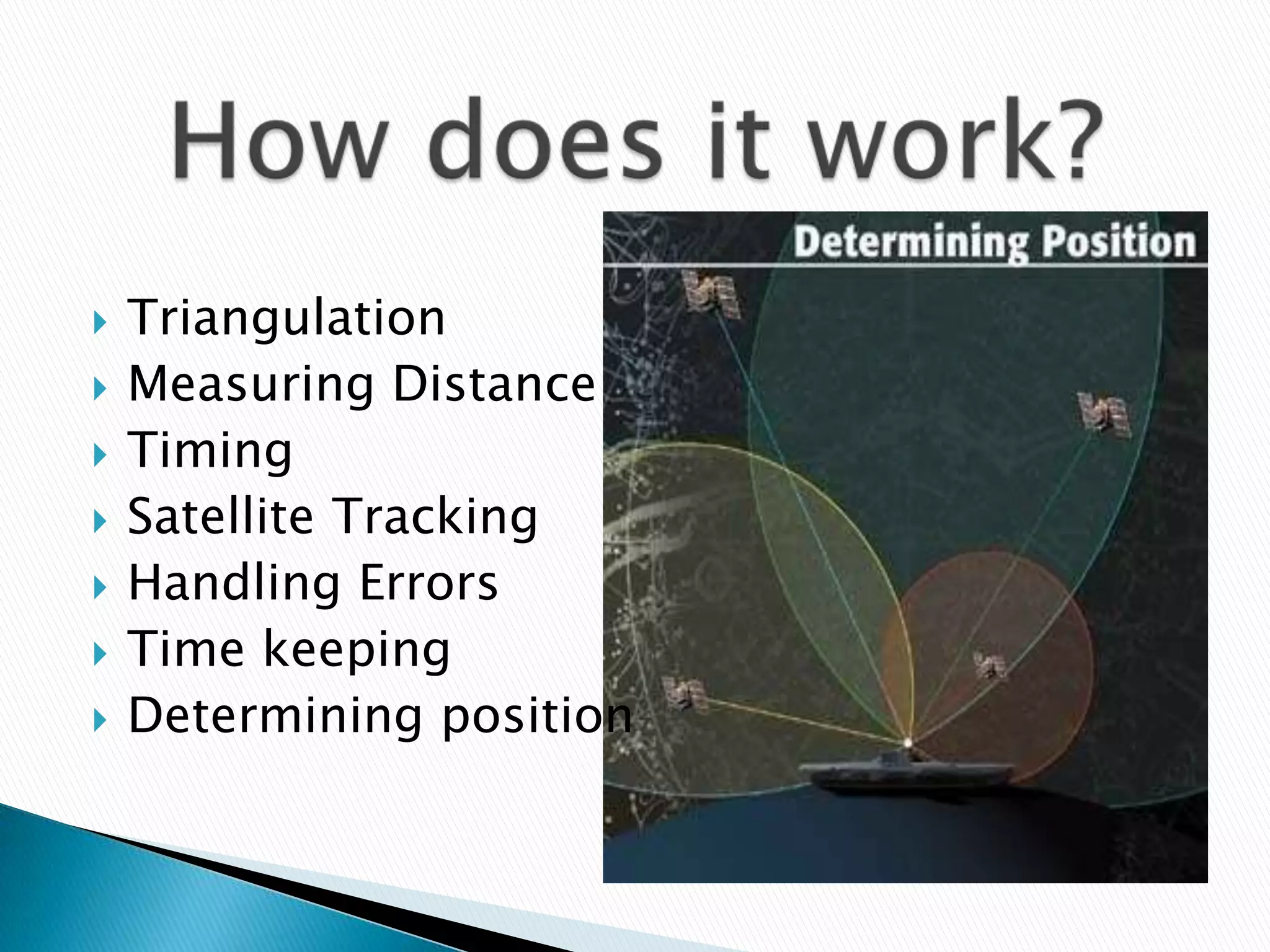
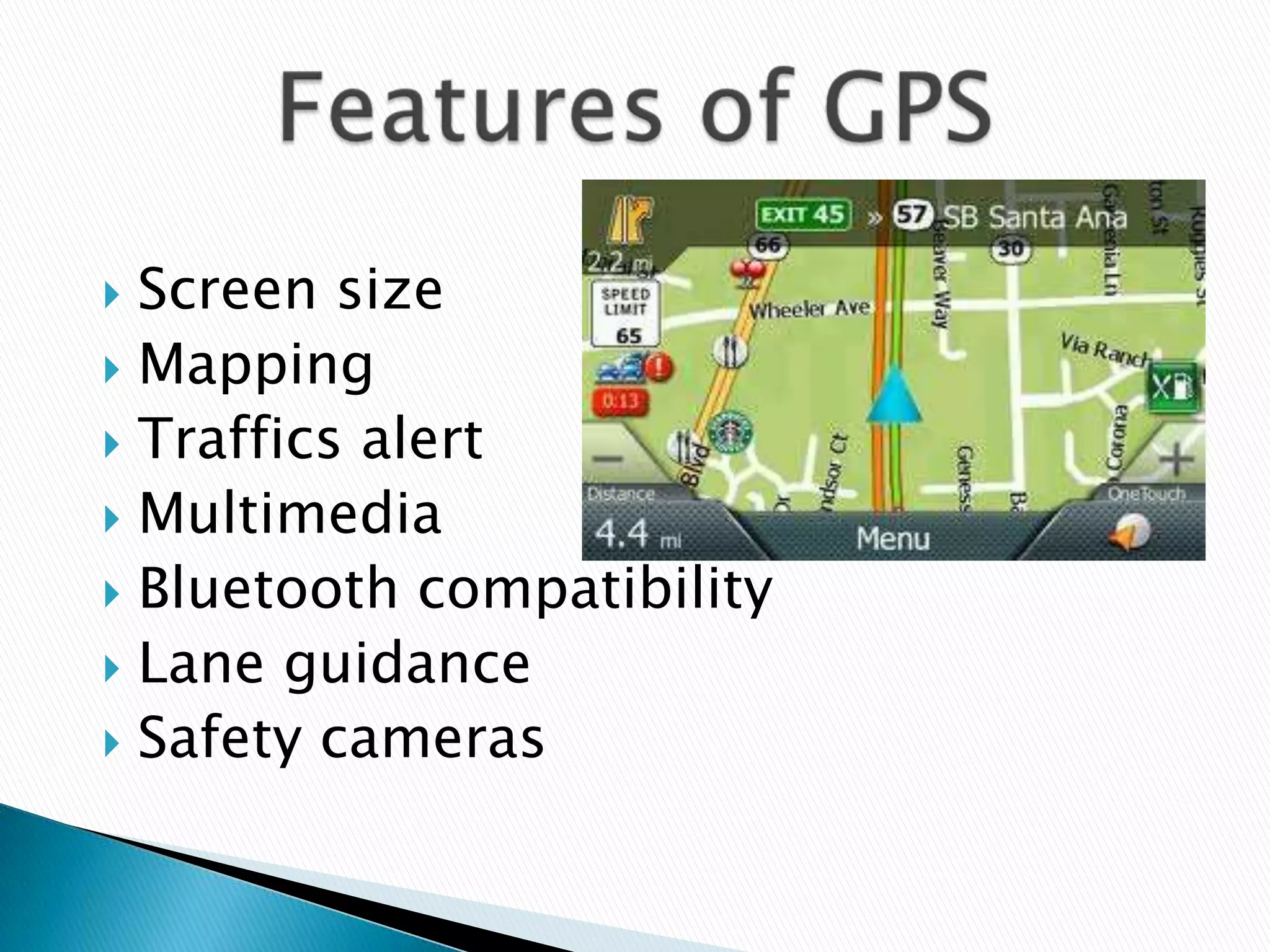
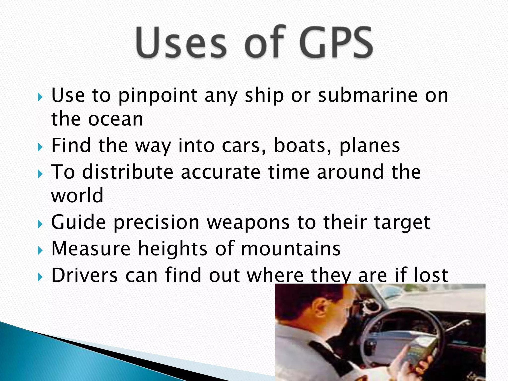
GPS is a satellite-based navigation system consisting of 24 satellites used worldwide to determine precise locations. It was developed by the U.S. Department of Defense and first launched satellites in 1974 for military purposes. GPS works by triangulating the distance and timing signals from multiple satellites to determine a receiver's position. It has many uses including navigation in vehicles, boats and planes as well as applications on smartphones.


Presentation introduction by Amit Bishwas, a BIM 1st semester student.
Discussion on GPS covering definition, history, operation, features, and uses.
Description of GPS as a satellite-based navigation system using a constellation of 24 satellites.
Overview of GPS development by the U.S. Department of Defense, starting in 1974 and full operation by 1994.
Explanation of GPS functionality including triangulation, distance measurement, and error handling.
Key features of GPS devices such as screen size, mapping, multimedia, and traffic alerts.
Various uses of GPS including navigation for ships, cars, time distribution, and precision targeting.
Summary stating GPS as an essential satellite-based navigation system for determining Earth's location.