Download to read offline


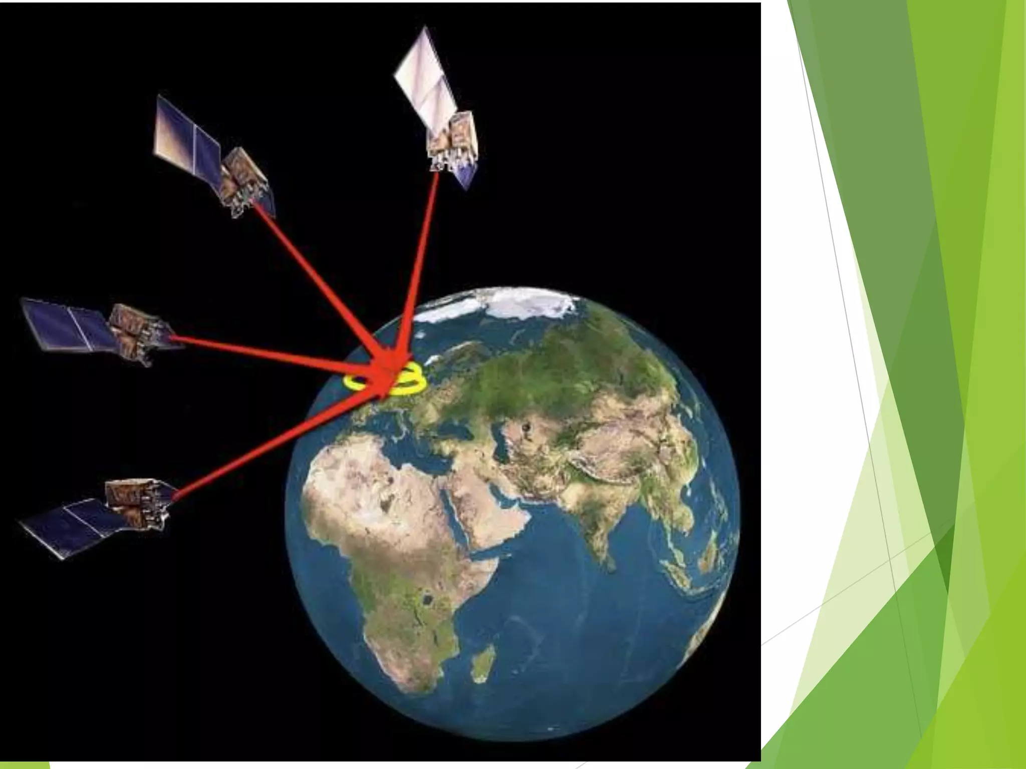


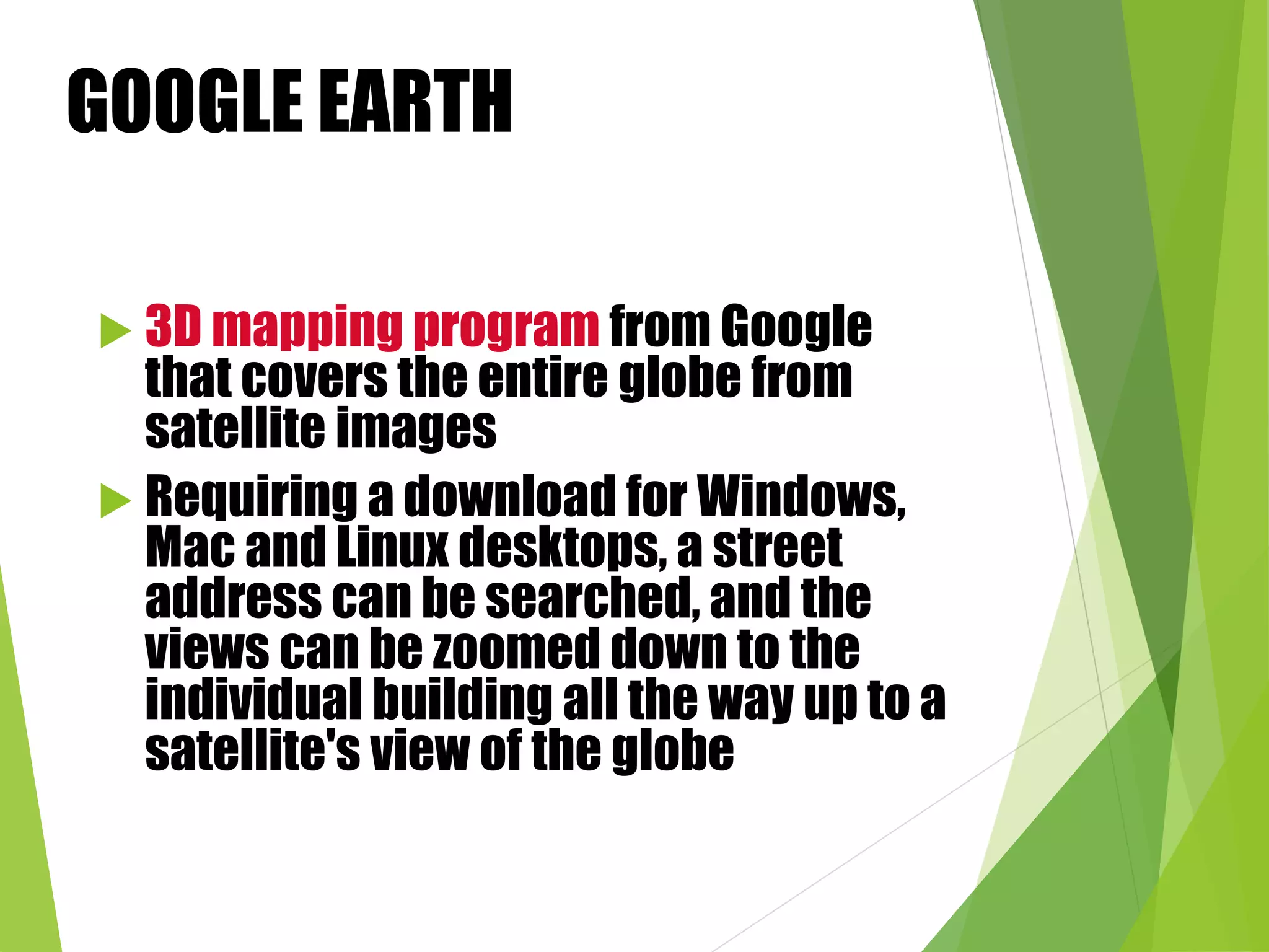


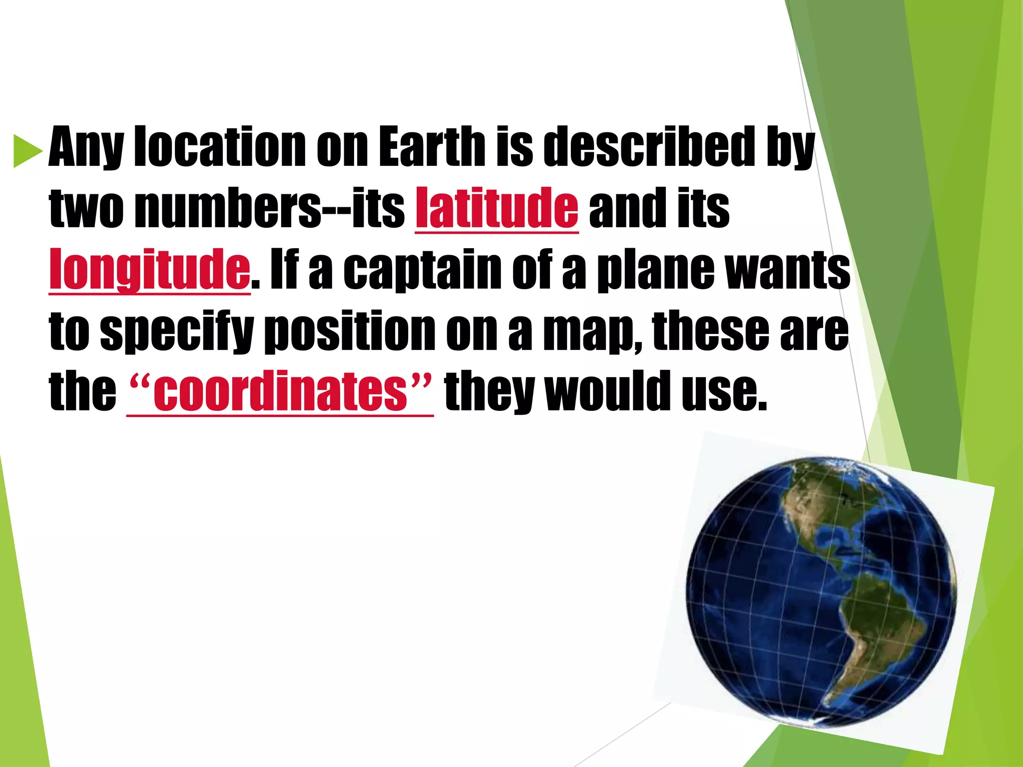


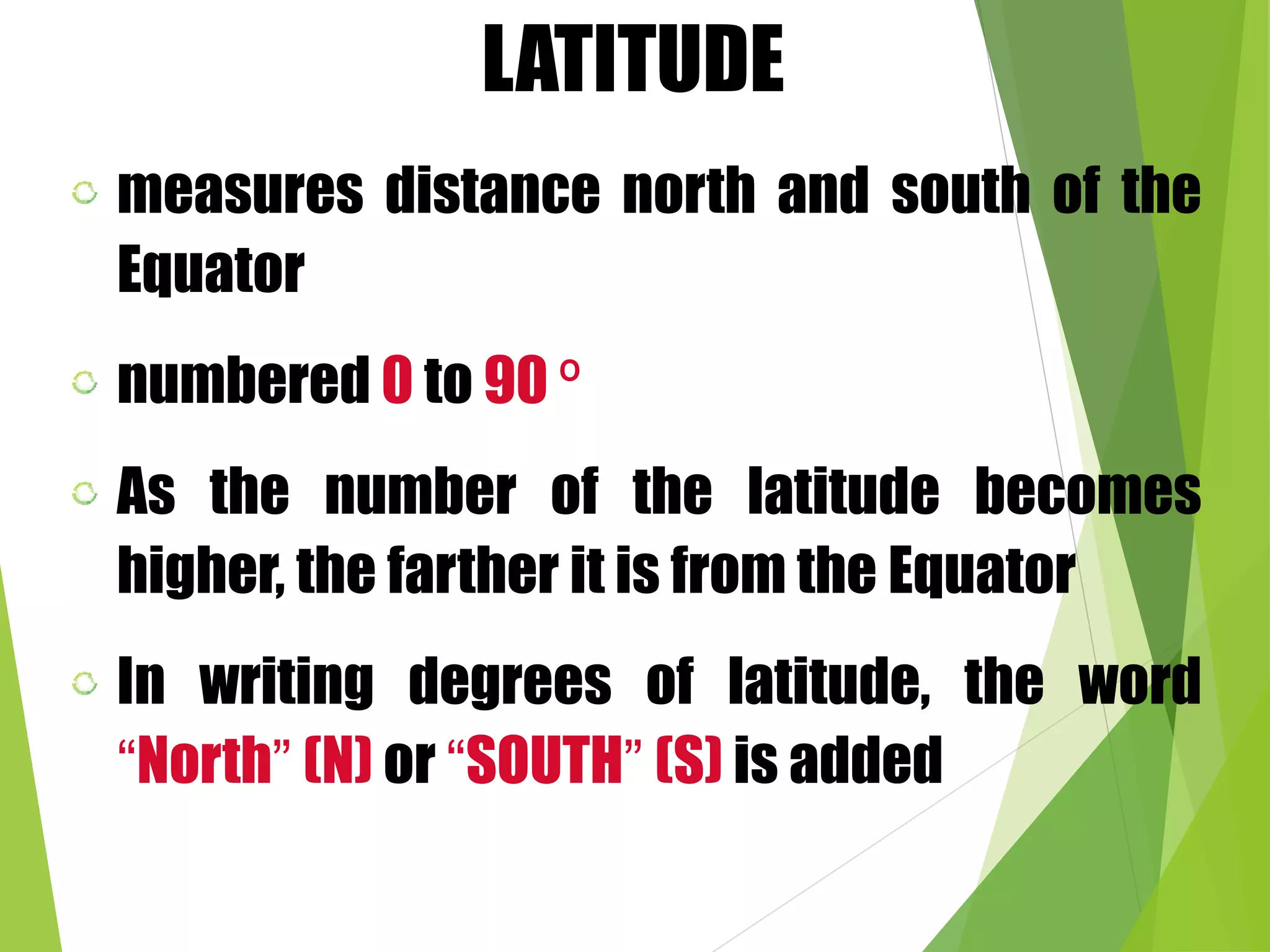


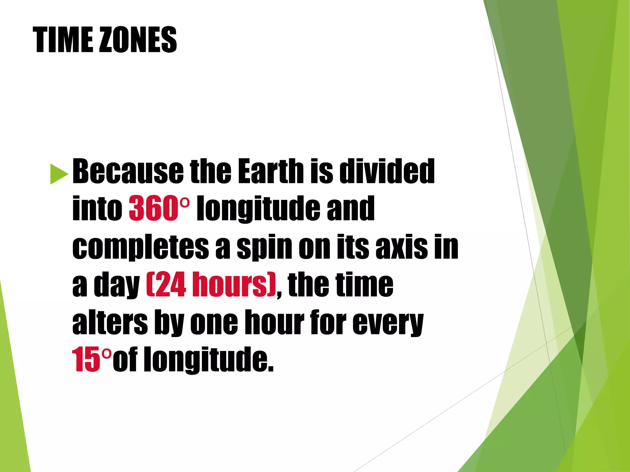

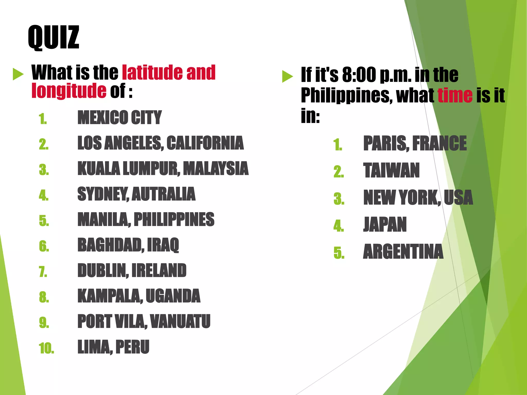


This document discusses different methods for locating places on Earth using coordinates, including GPS, Google Earth, and latitude and longitude. GPS uses signals from satellites to calculate a user's position via trilateration. Google Earth provides 3D satellite imagery of the globe. Latitude and longitude specify locations as angles north/south of the equator and east/west of the Prime Meridian. The International Date Line separates calendar days, and time zones shift hourly with longitude to accommodate the Earth's rotation.


![Lens and Mirrors [Autosaved] for Grade 10.pptx](https://cdn.slidesharecdn.com/ss_thumbnails/lensandmirrorsautosaved-240111005021-d88c59fc-thumbnail.jpg?width=640&height=640&fit=bounds)


