Downloaded 47 times
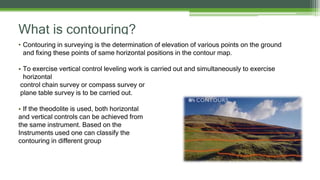

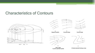

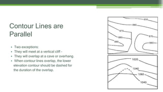
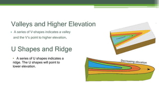
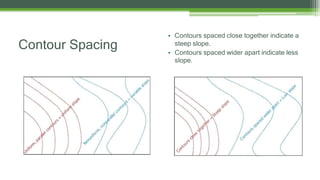
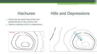
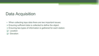
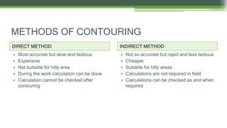

This document discusses contouring in surveying. It defines contouring as determining elevation points on the ground and mapping points of equal elevation. Contour lines connect points of the same elevation. The difference between adjacent contour lines is the contour interval. Contour lines are continuous, parallel, and form U-shapes for ridges and V-shapes for valleys. Closely spaced contours indicate steep slopes while widely spaced contours indicate gentler slopes. Hachures are used to depict hills and depressions. Data collection ensures sufficient points to define terrain features and records both location and elevation. There are direct and indirect methods for contouring - direct is most accurate but indirect is faster for hilly areas.