Downloaded 93 times
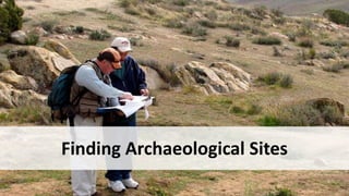
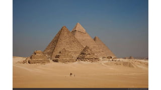
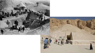
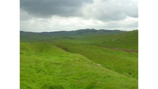


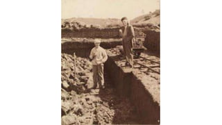
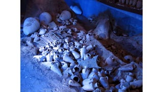


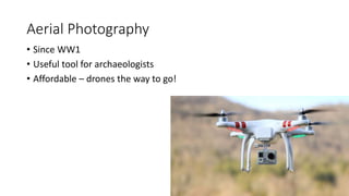
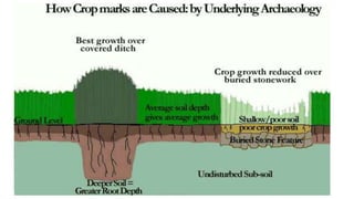

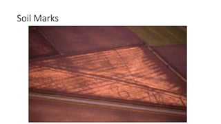
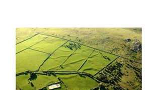
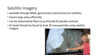
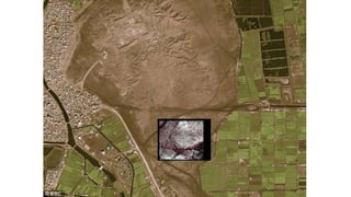


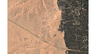
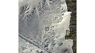
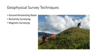

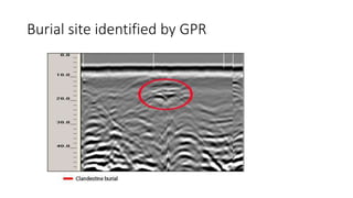
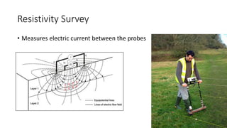

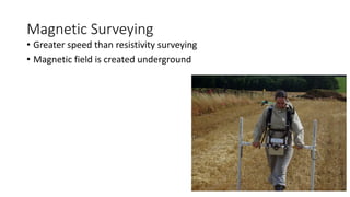
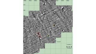


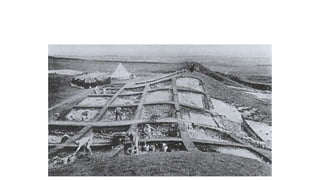
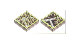
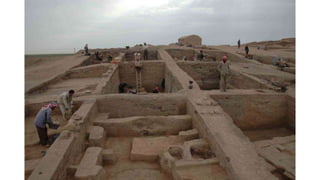
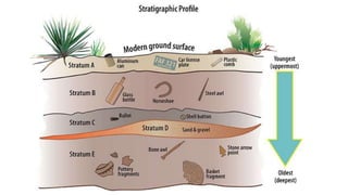

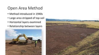
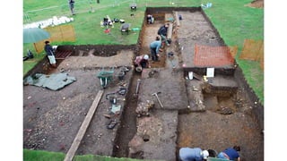


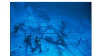


This document discusses various methods that archaeologists use to locate and excavate archaeological sites. Surface features visible from the air like crop marks, soil marks, and satellite imagery can help identify potential sites. Geophysical techniques like ground penetrating radar, resistivity surveys, and magnetic surveying are used to detect underground features without excavation. Once a site is located, archaeologists systematically excavate using methods like the grid system or open area technique to record the vertical and horizontal relationships between archaeological finds and features. Underwater archaeology employs some similar techniques as well as diving methods.


