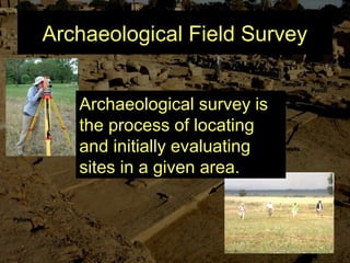
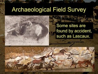
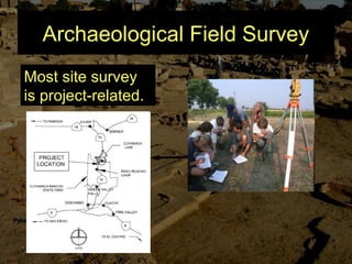
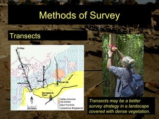
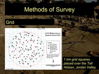
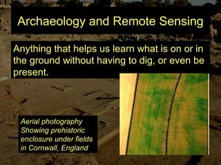
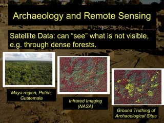
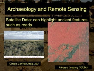
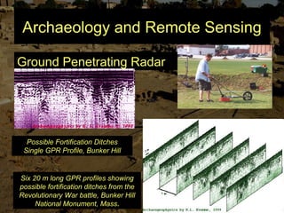
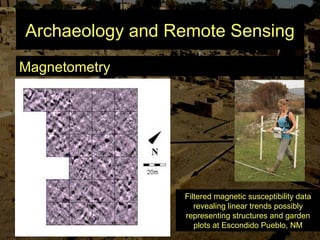
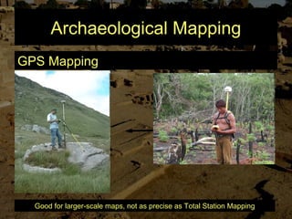
1. Before excavation begins, archaeologists conduct preliminary research, surveys, and remote sensing to locate and evaluate archaeological sites. They also obtain necessary permits and permissions.
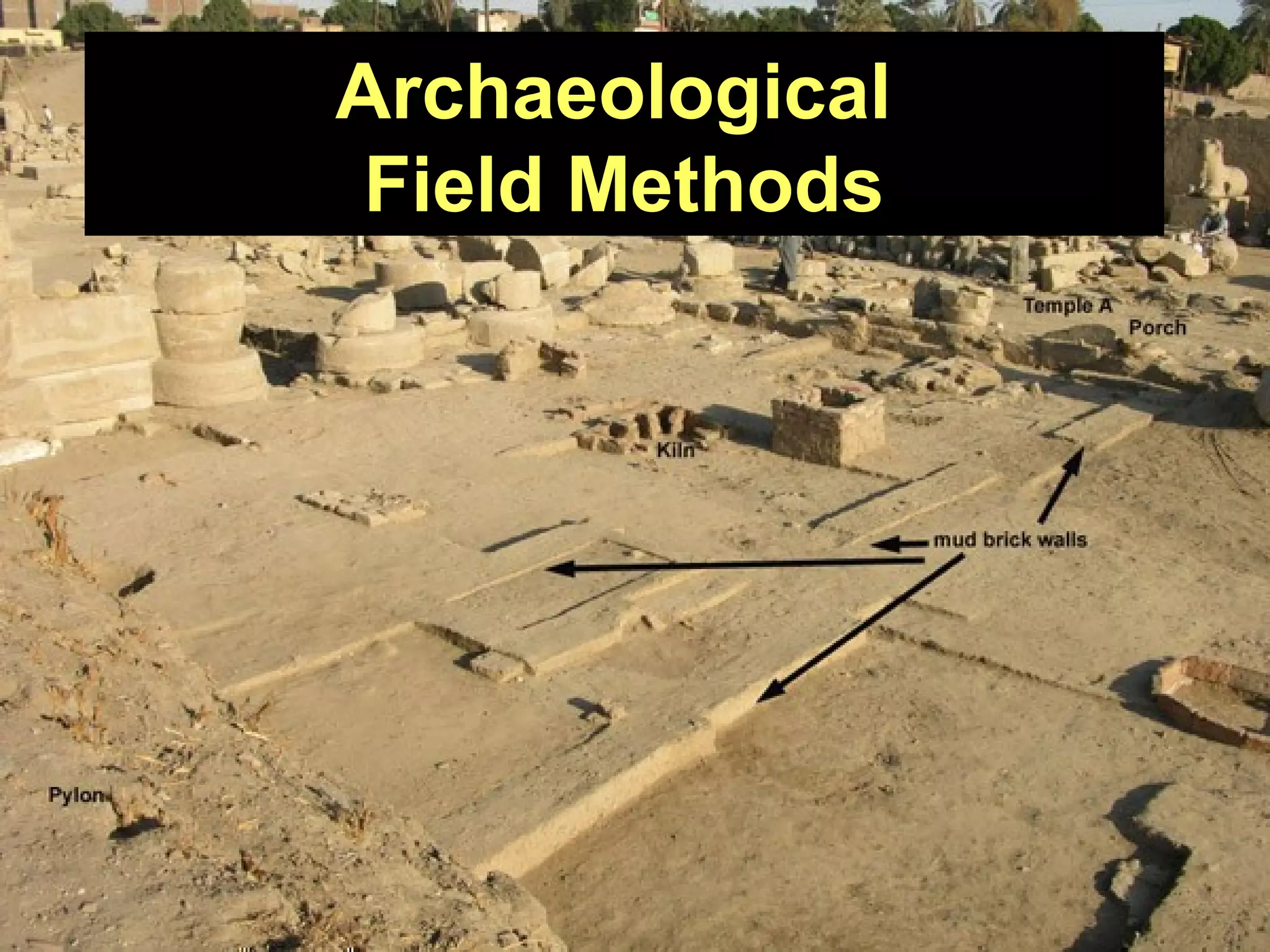
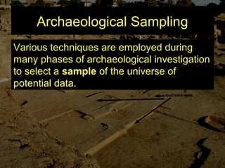
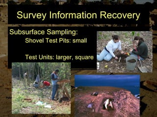
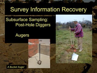
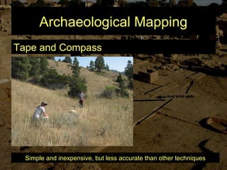
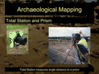
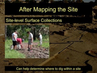
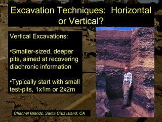
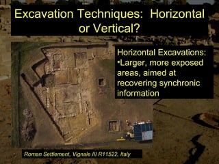
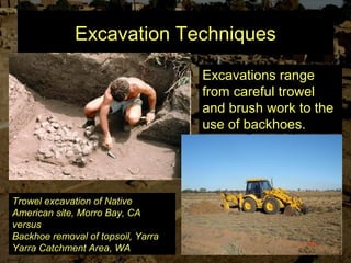
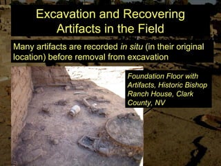
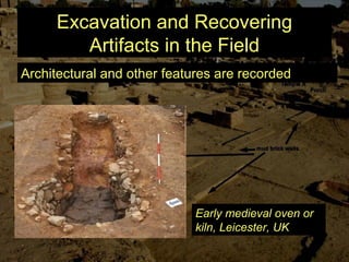
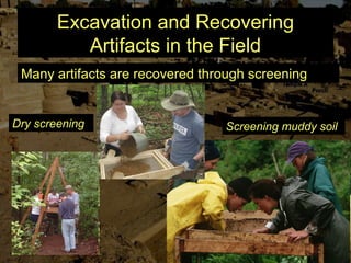
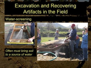
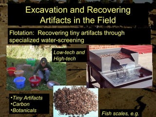
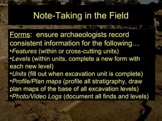
2. During excavation, archaeologists carefully uncover and record artifacts, features, and stratigraphy using tools like trowels, brushes, screens, and total stations. They take detailed notes and photographs to document findings.
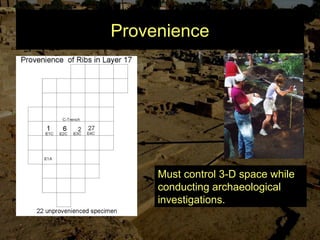
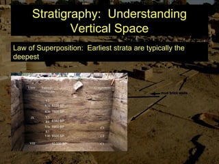
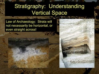
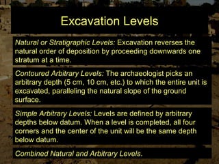
3. Stratigraphy and provenience are essential to understanding the archaeological record. Archaeologists excavate by natural, arbitrary, or combined levels to systematically uncover and interpret site formation processes.