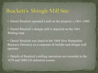
Download to read offline

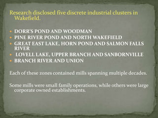
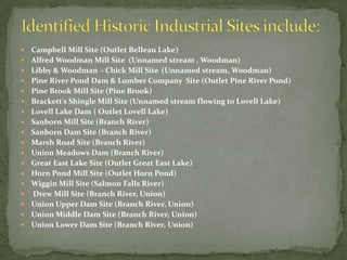
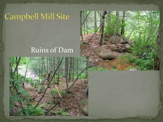
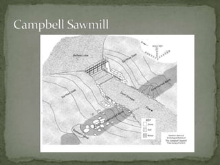
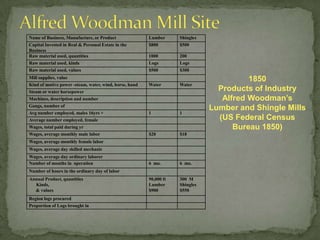


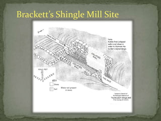
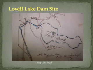
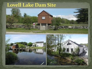
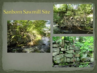
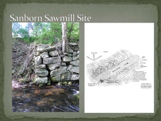
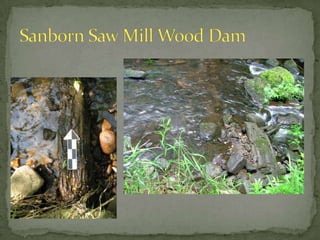
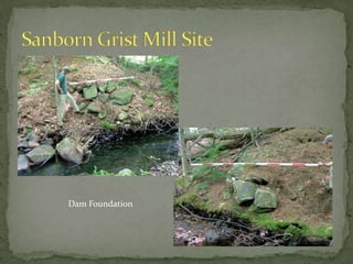
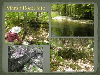
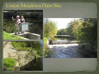
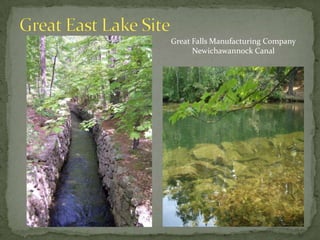
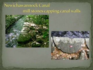
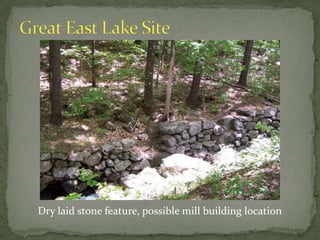
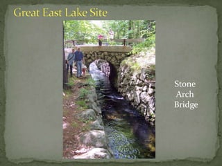
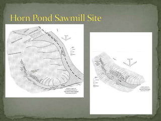
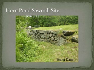
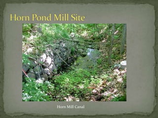
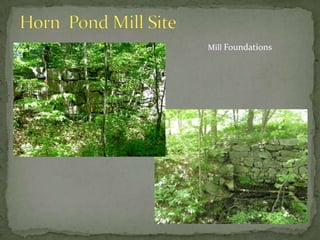
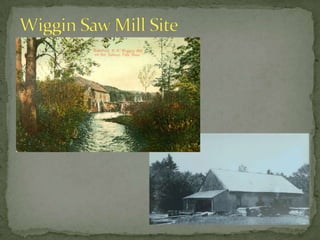
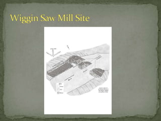
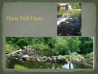
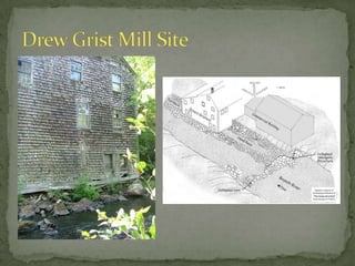
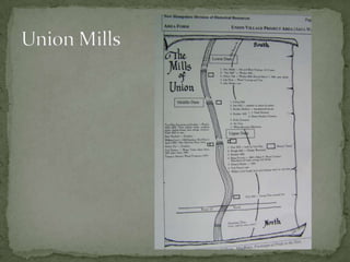


The document summarizes an archaeological survey of historic mill sites in Wakefield, New Hampshire. It identifies 20 mill locations that were investigated through historic research and field work. Key findings included ruins of dams and mill foundations at sites along the Pine River, Lovell Lake, Branch River, Great East Lake, and Horn Pond. The survey identified mills ranging from the early 1800s to the late 1800s, some operated by families and others by larger companies. The archaeological work helped uncover new details about Wakefield's industrial past.


![5G Explained! A High Level Overview [Introduction]](https://cdn.slidesharecdn.com/ss_thumbnails/5gexplainedahighleveloverview-260119165306-cc137a3e-thumbnail.jpg?width=640&height=640&fit=bounds)


