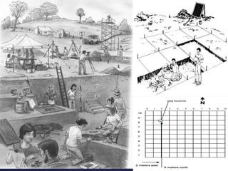
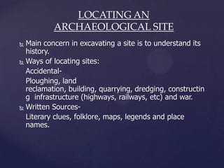
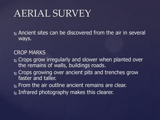
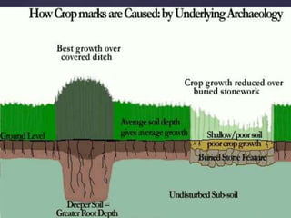
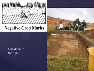
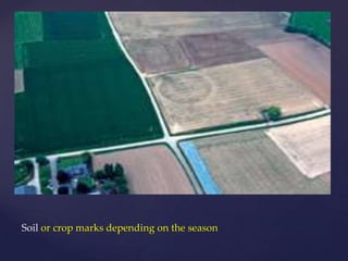
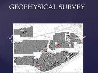
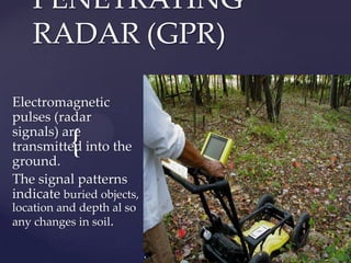
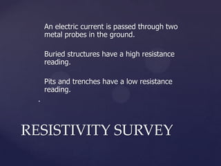
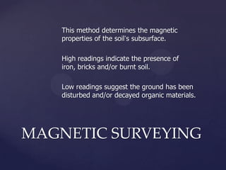
Archaeological sites can be located through accidental discovery, written sources, aerial surveys, and surveying techniques. Aerial surveys use crop marks, soil marks, shadow marks, and satellite imagery to identify sites from above. Geophysical surveys like resistivity, magnetometry, and ground-penetrating radar can map subsurface features. Together these methods help archaeologists understand a site's history and pinpoint areas for excavation.