Downloaded 441 times
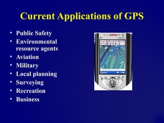
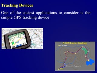
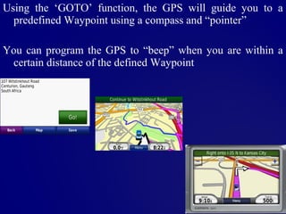
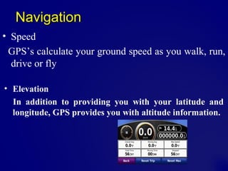
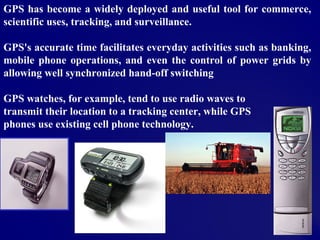
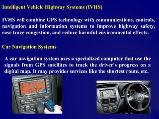
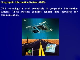
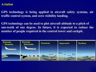
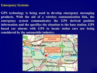
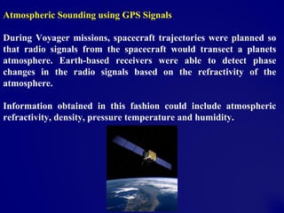


GPS has both military and civilian applications across many industries including public safety, environmental monitoring, aviation, recreation, and business. It provides location data through satellite signals that can track devices, guide users to waypoints, and calculate speed and elevation. GPS is integrated into vehicle navigation systems, geographic information systems, aviation safety and traffic control, emergency response systems, and scientific research applications like atmospheric sensing and wildlife tracking.


!["GPS" Global Positioning System [PDF]](https://cdn.slidesharecdn.com/ss_thumbnails/globalpositioningsystemgpsmainpdf-101105164539-phpapp01-thumbnail.jpg?width=640&height=640&fit=bounds)


