Downloaded 288 times
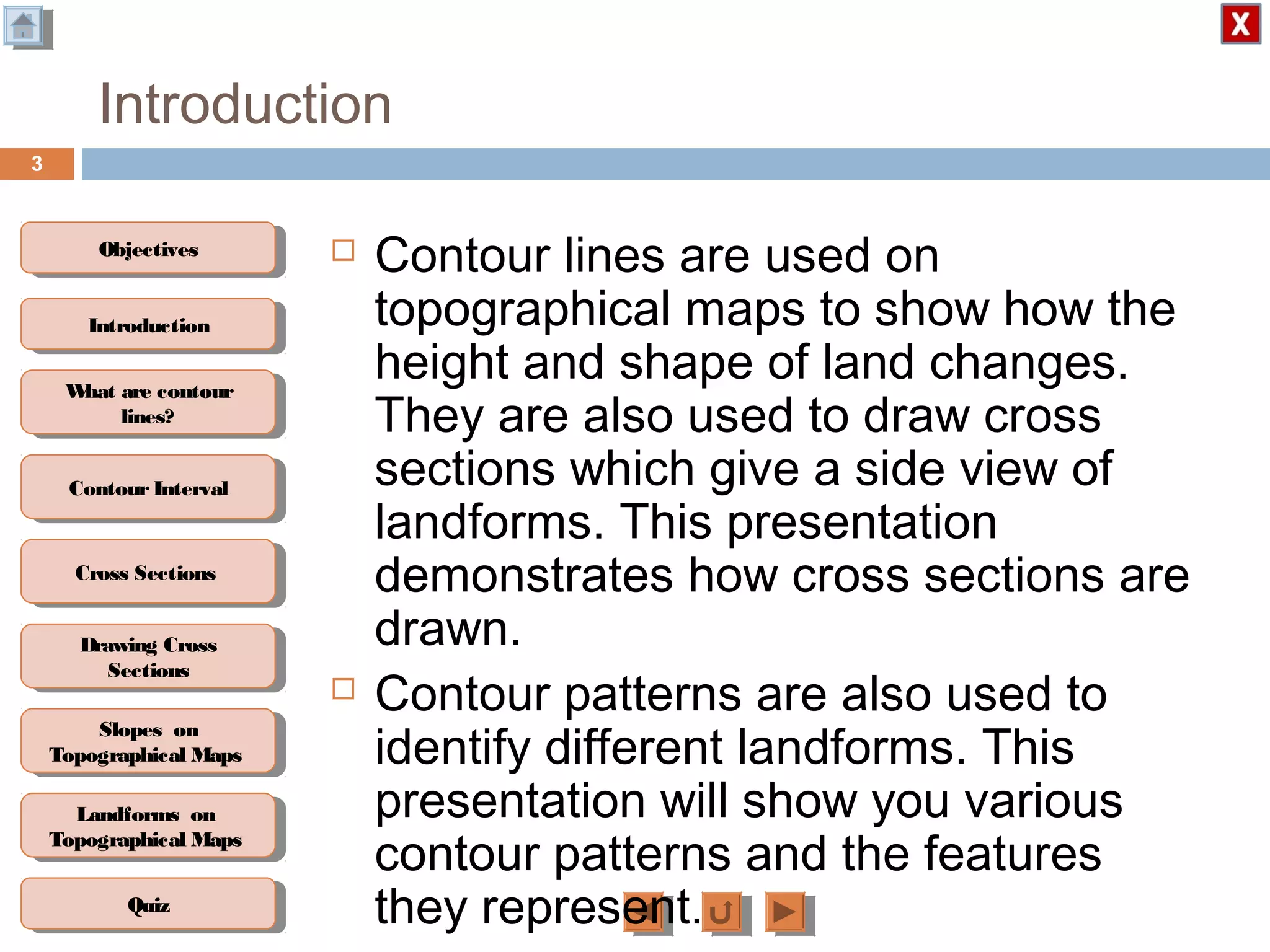
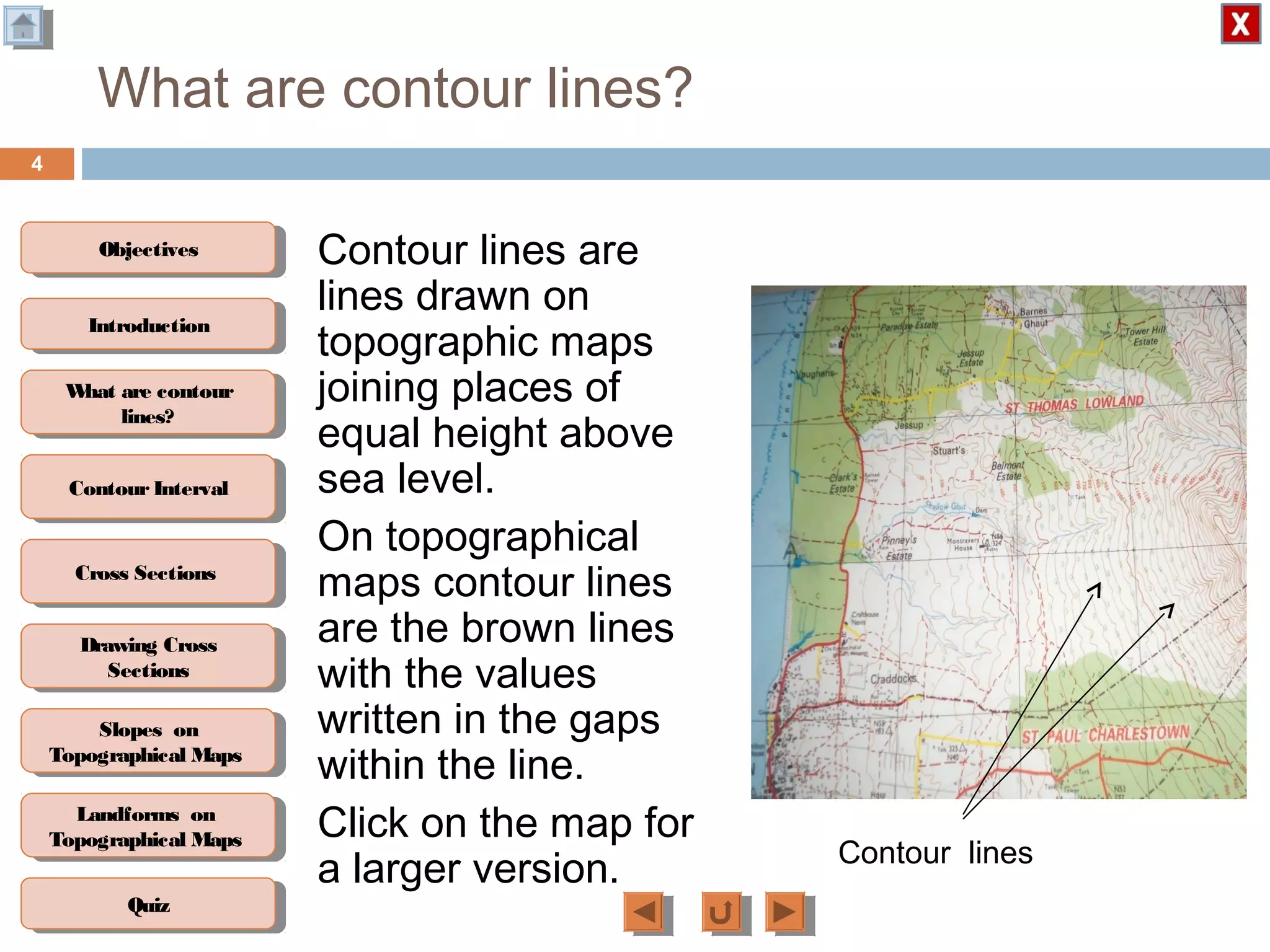
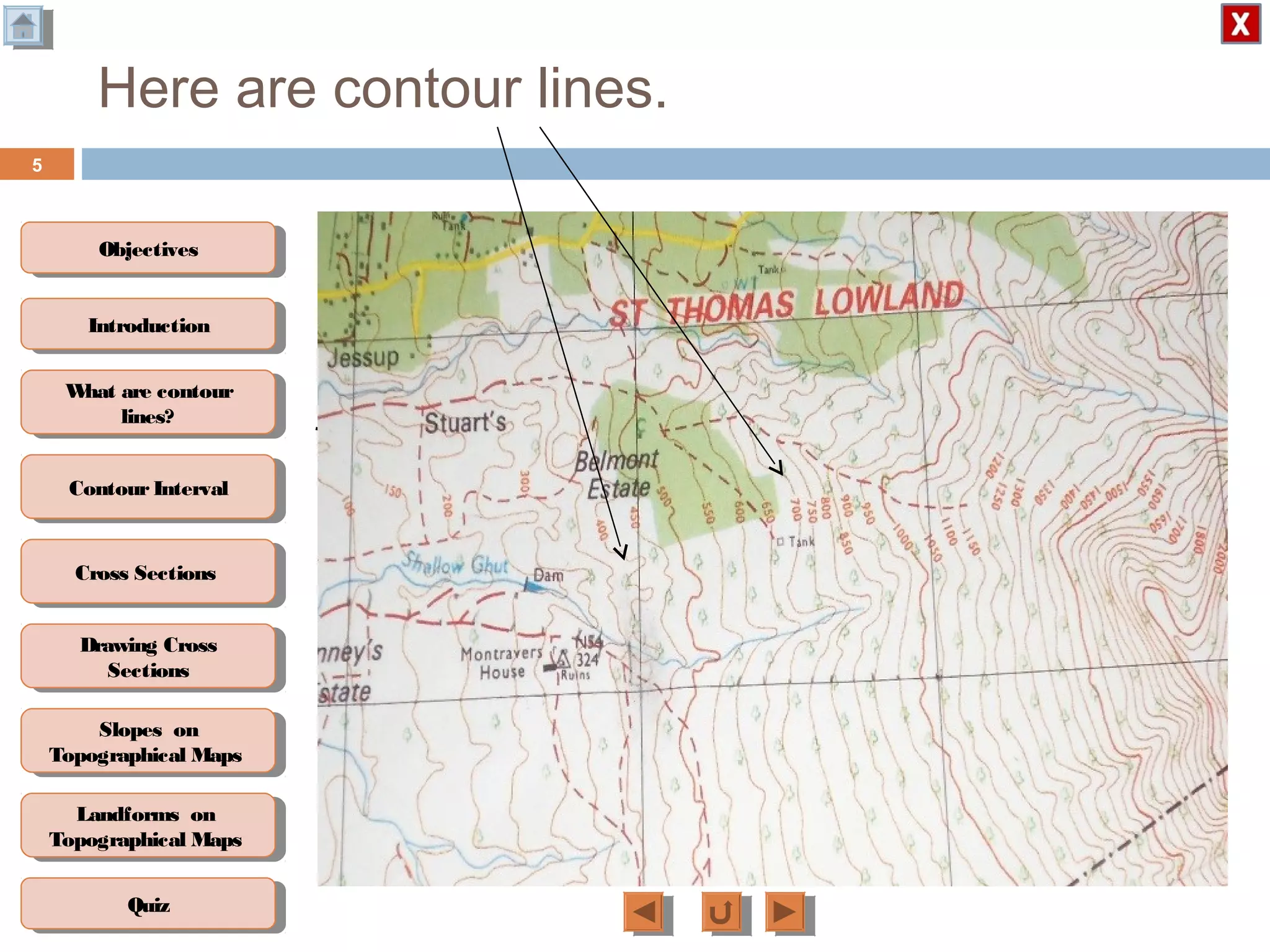
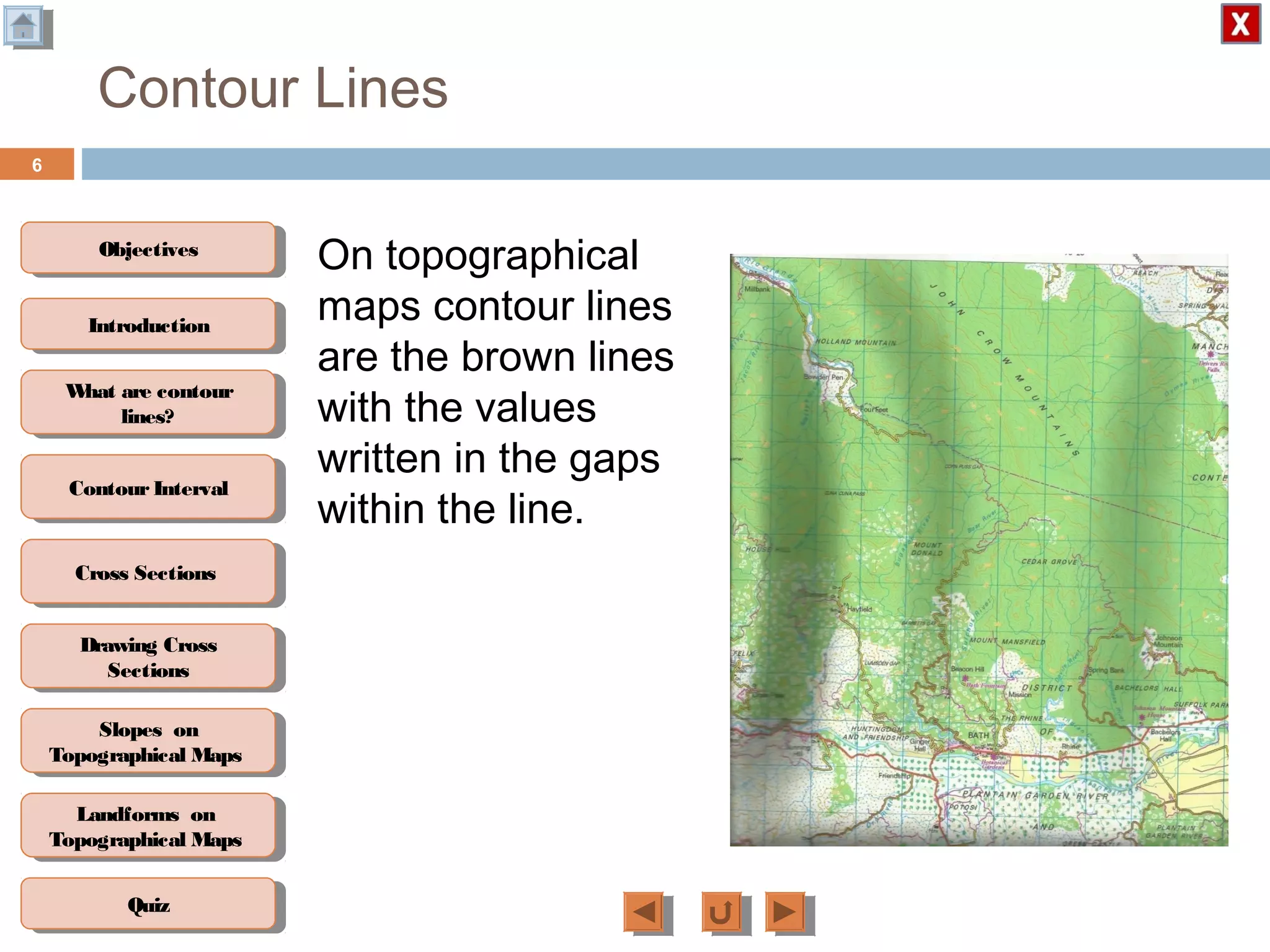
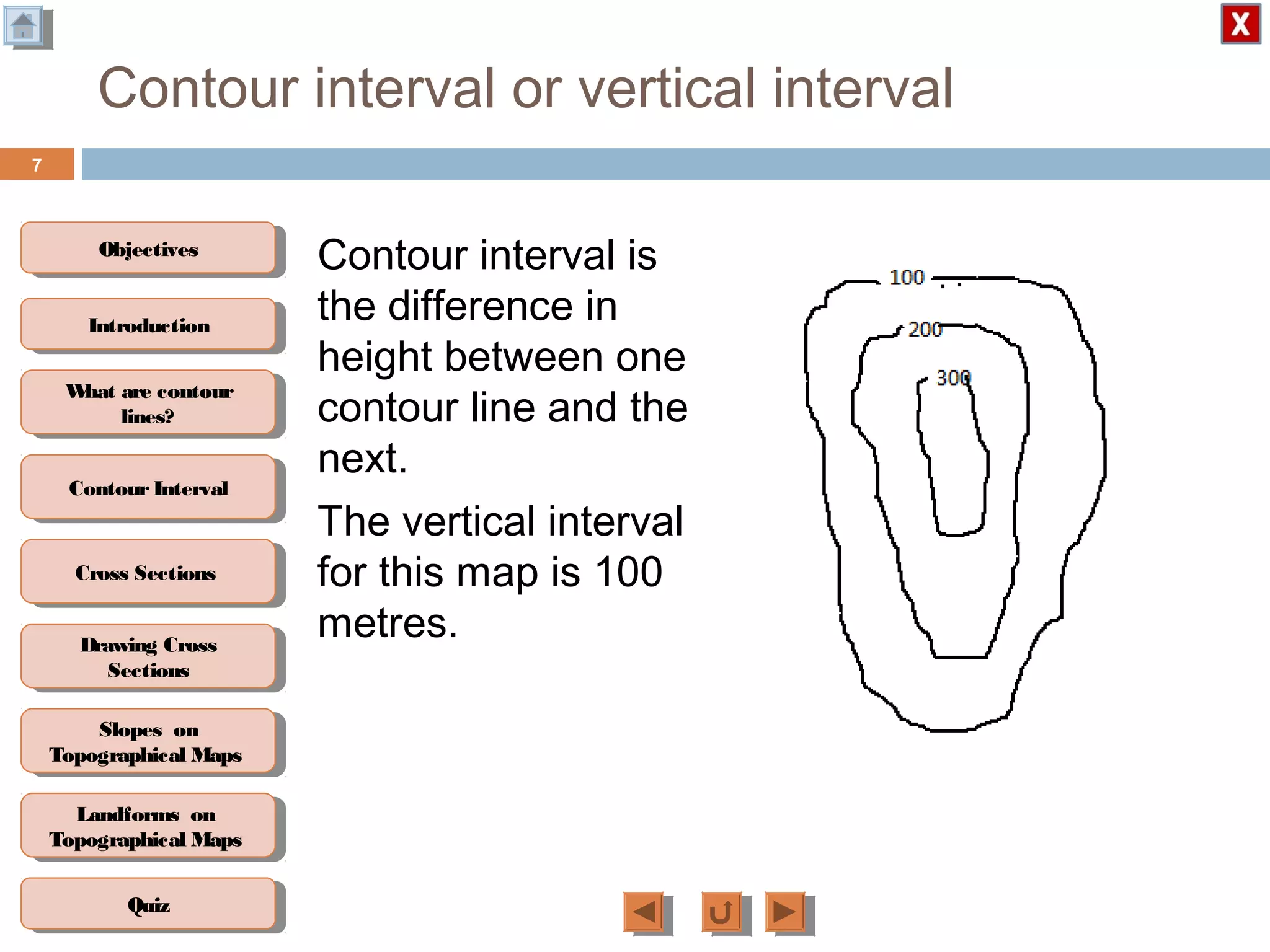
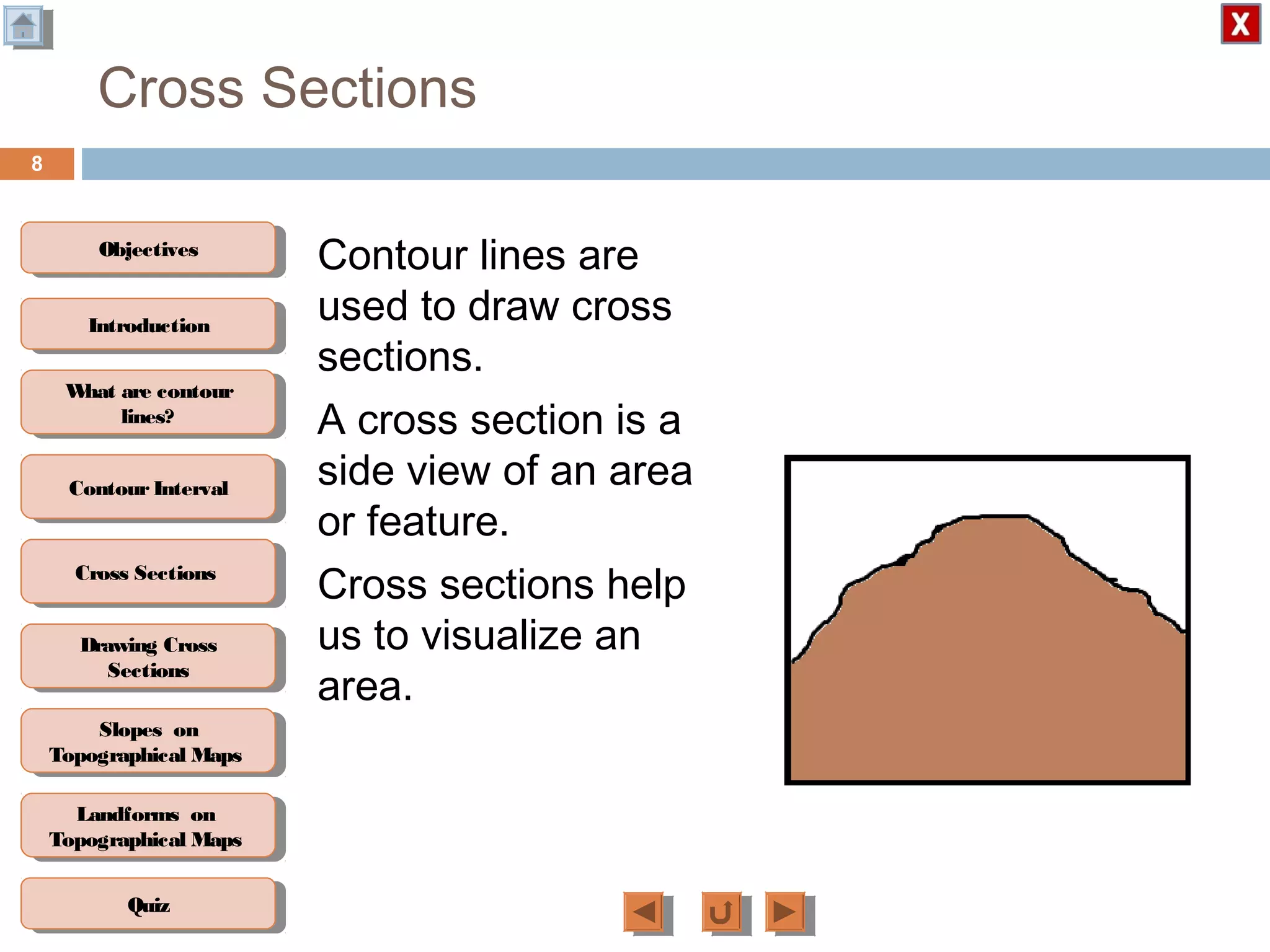
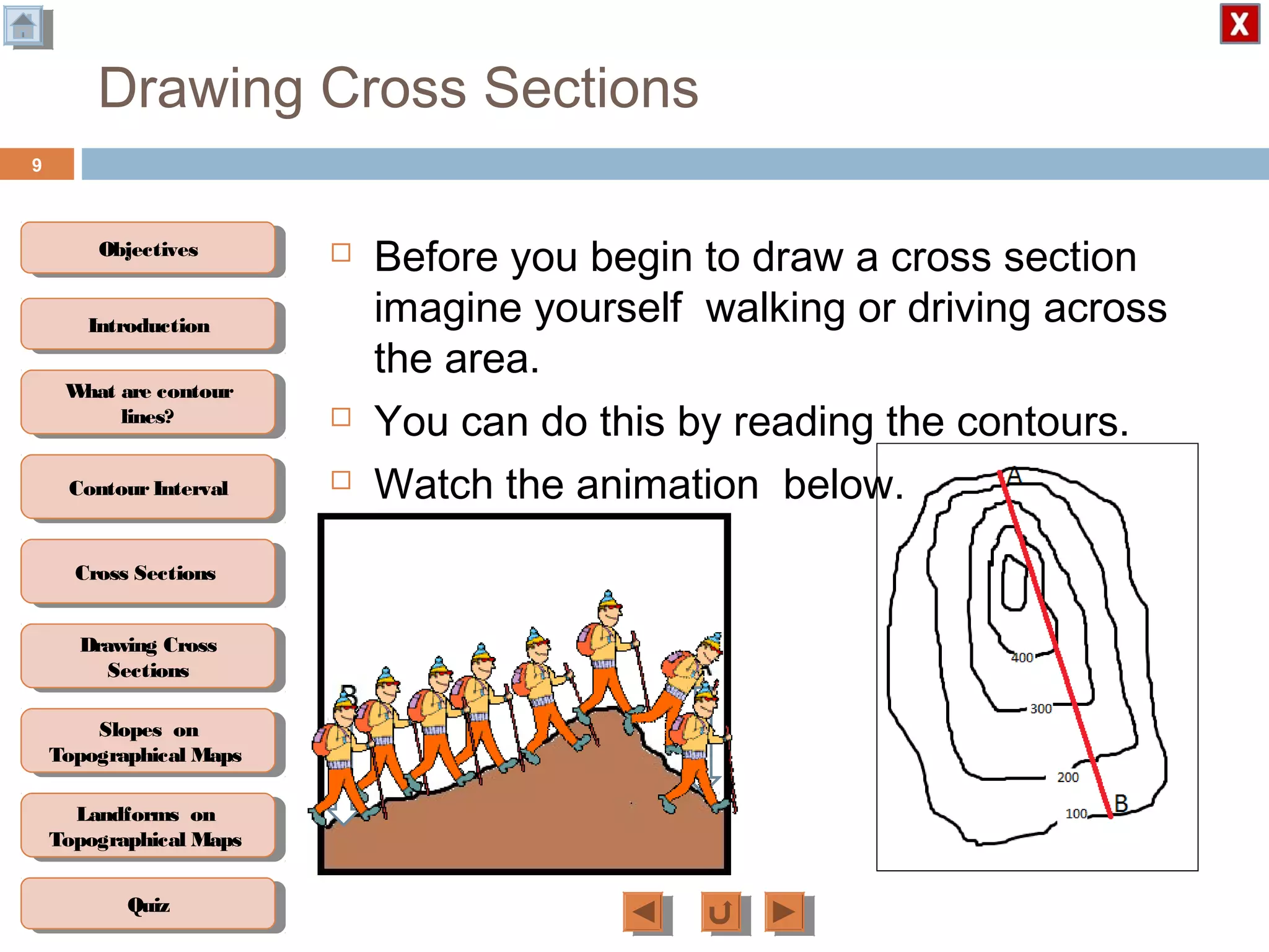
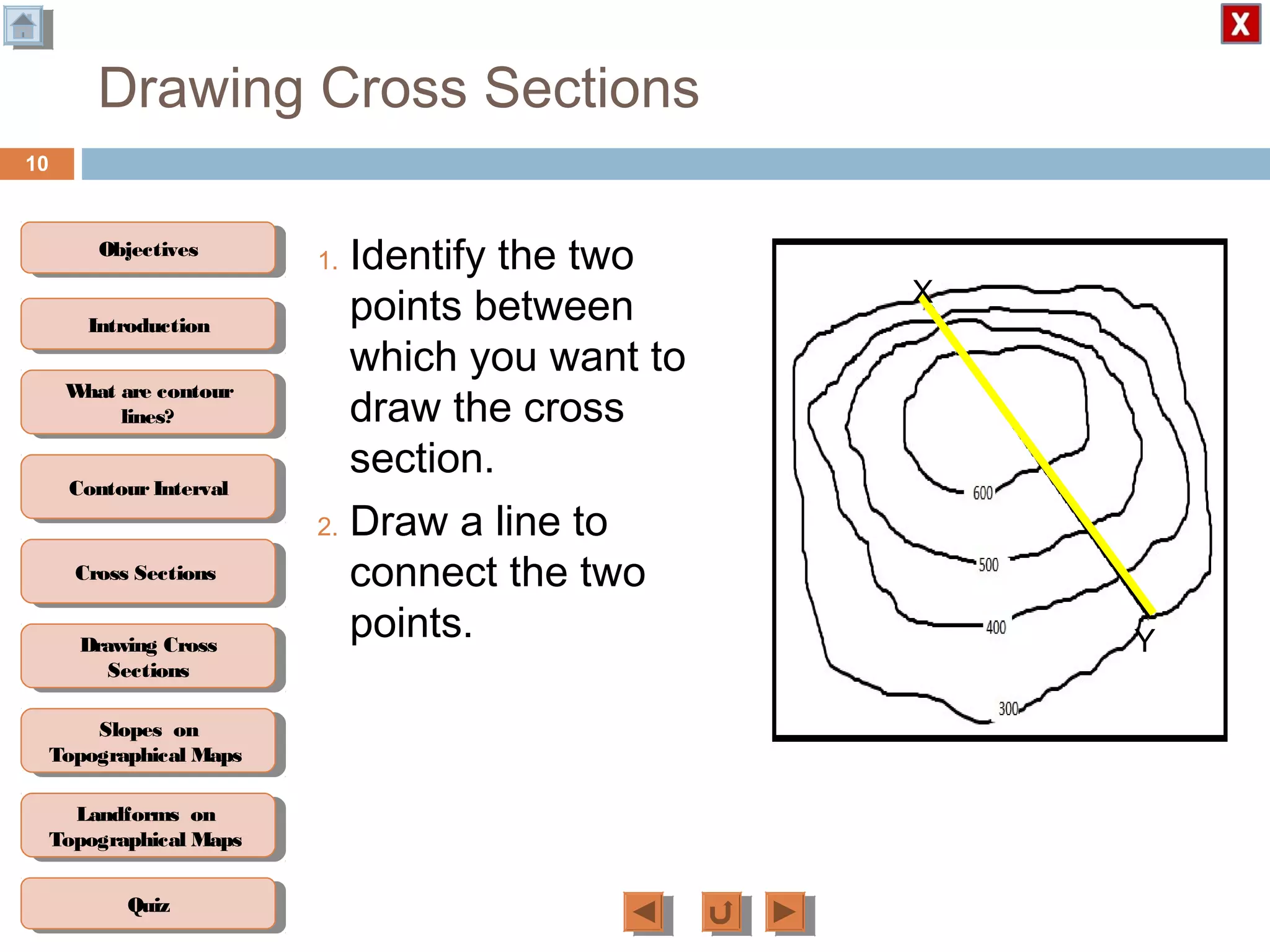
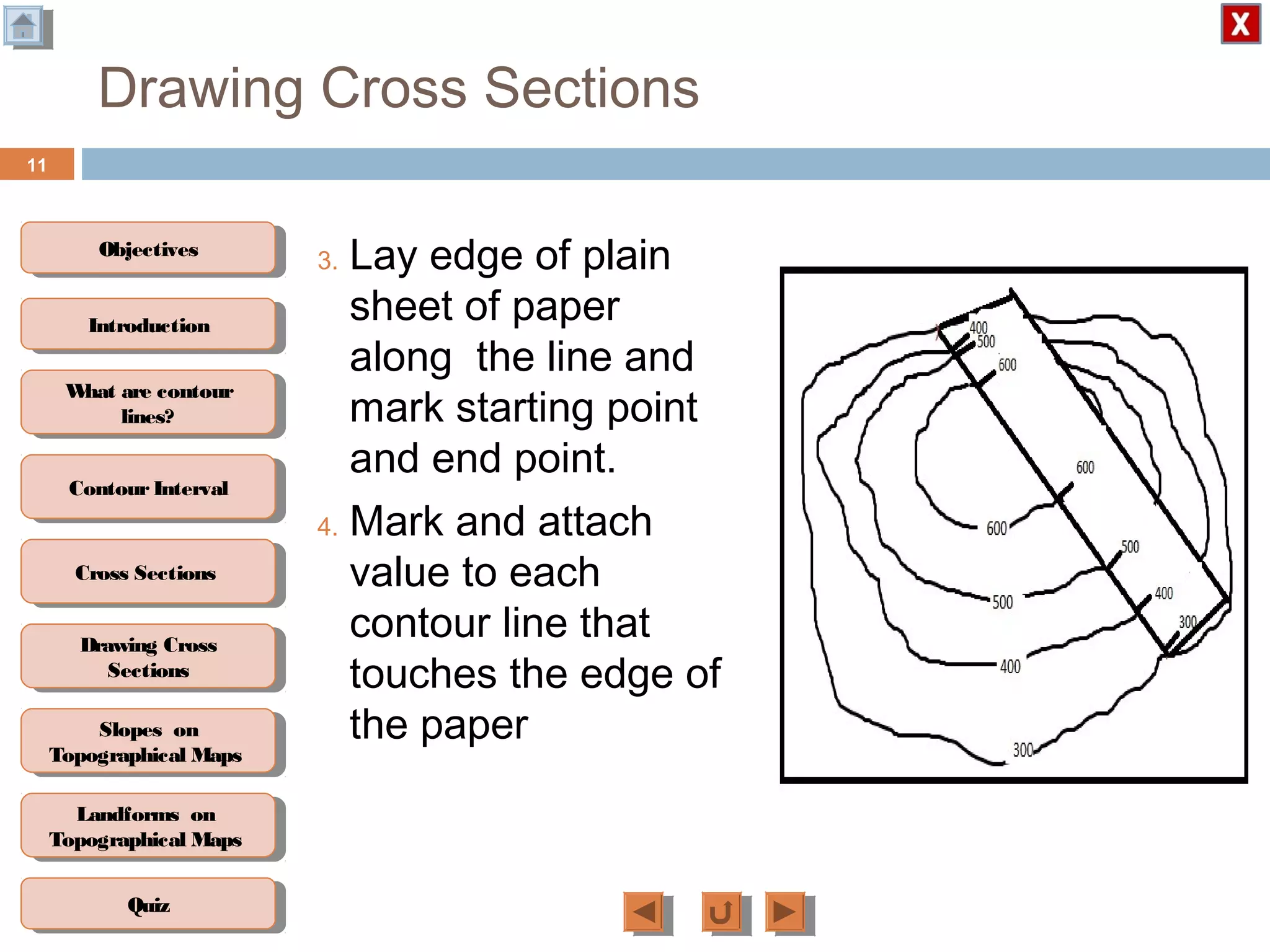
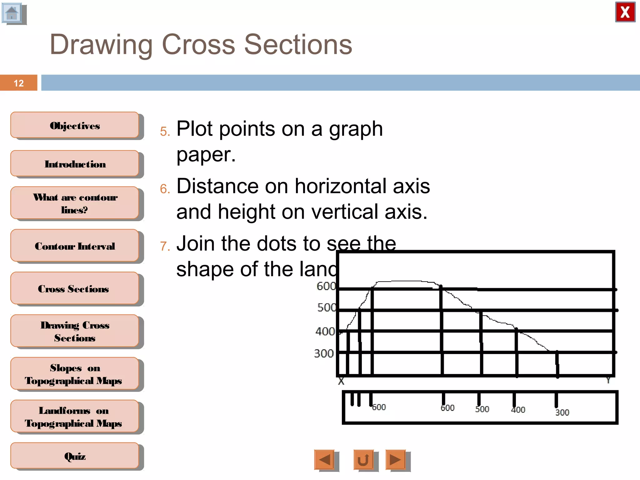
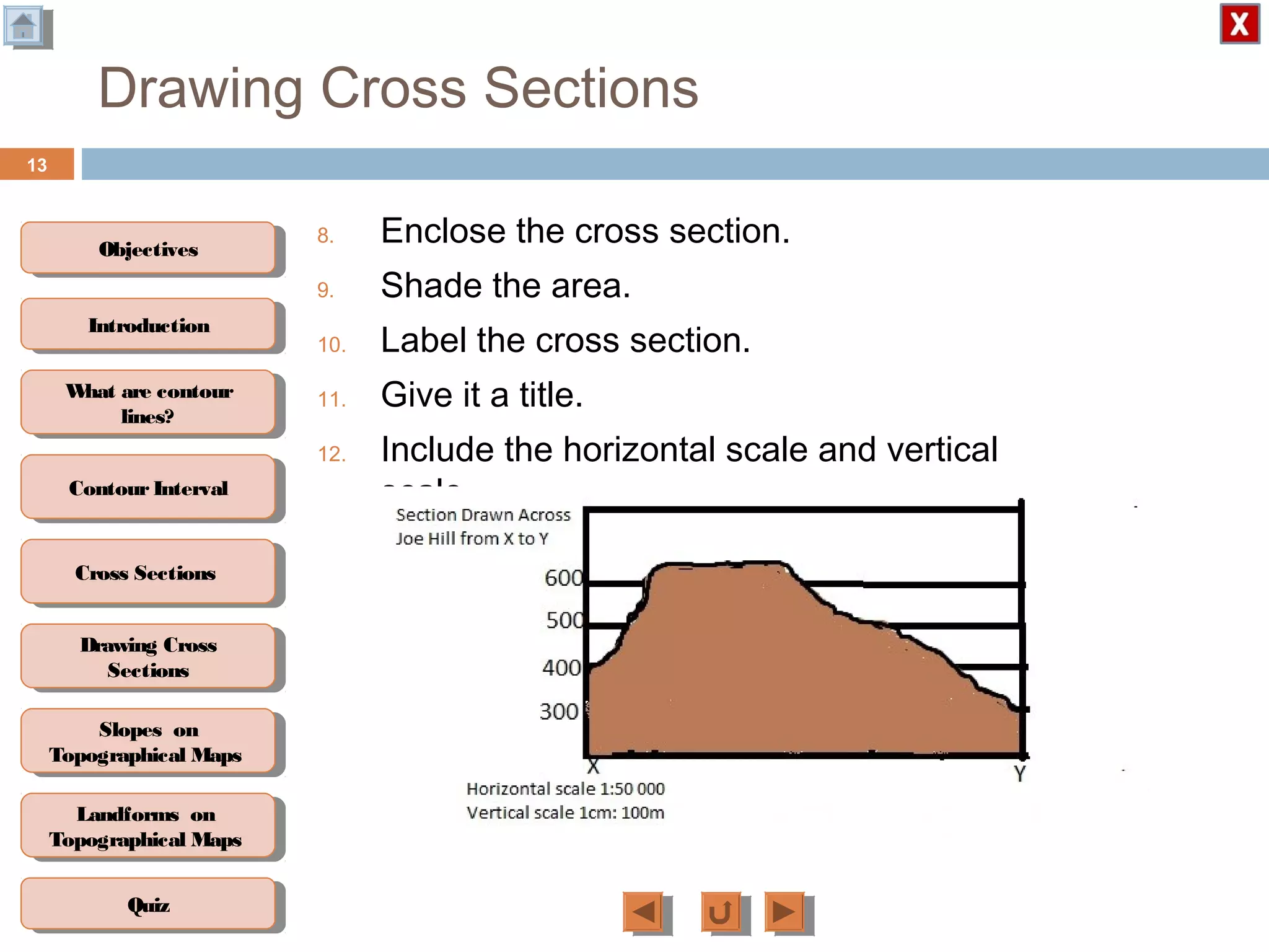

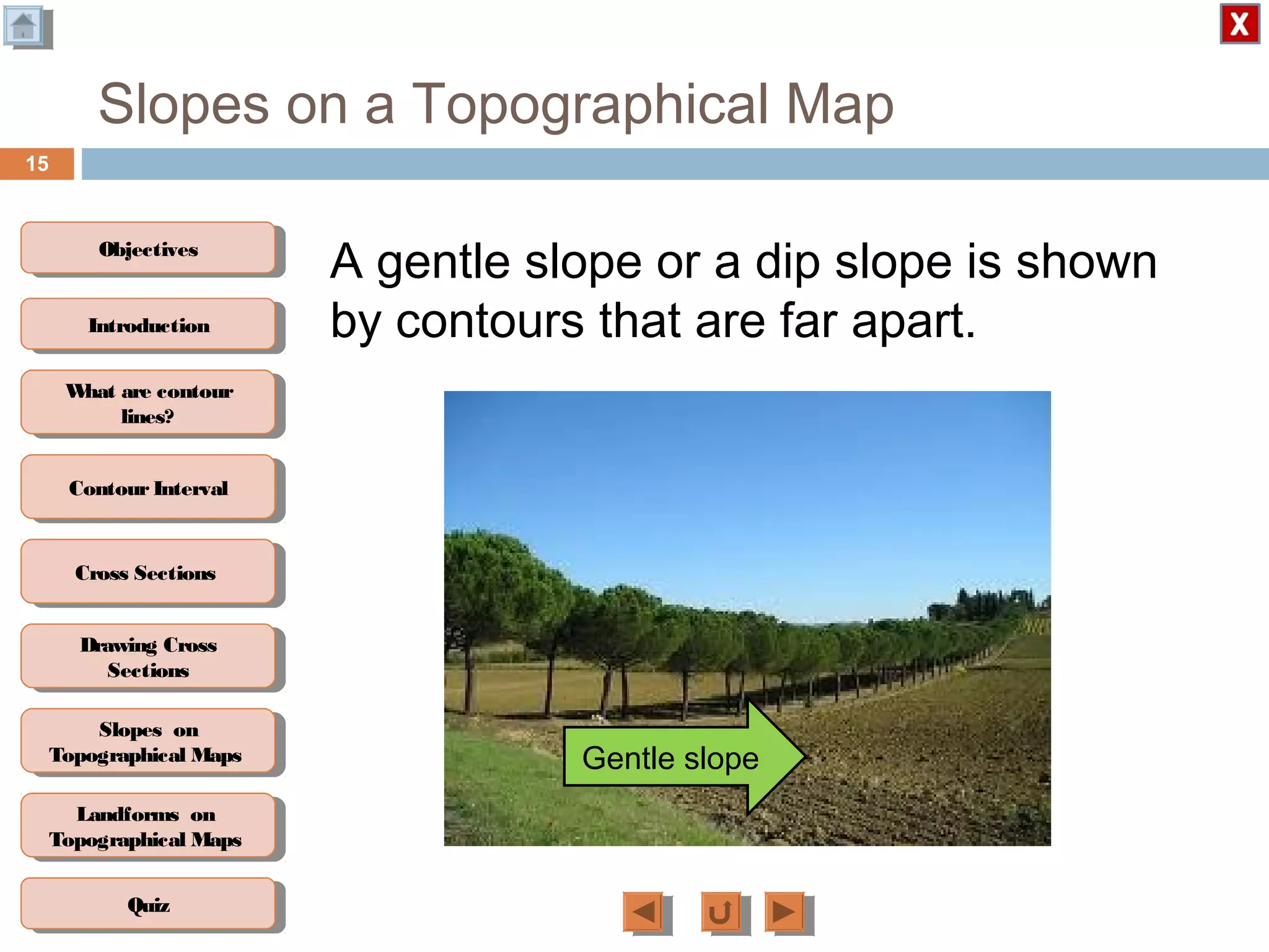
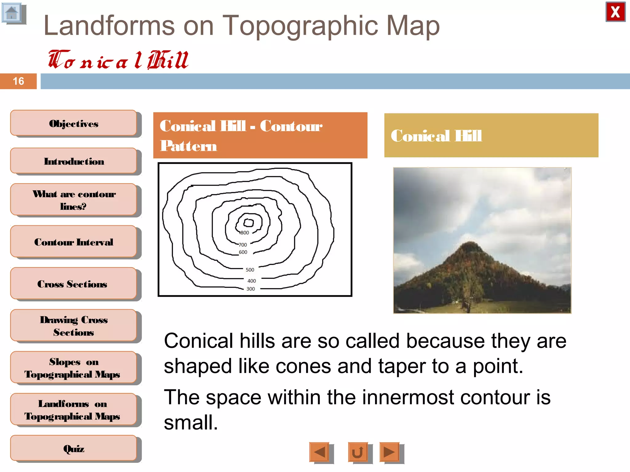
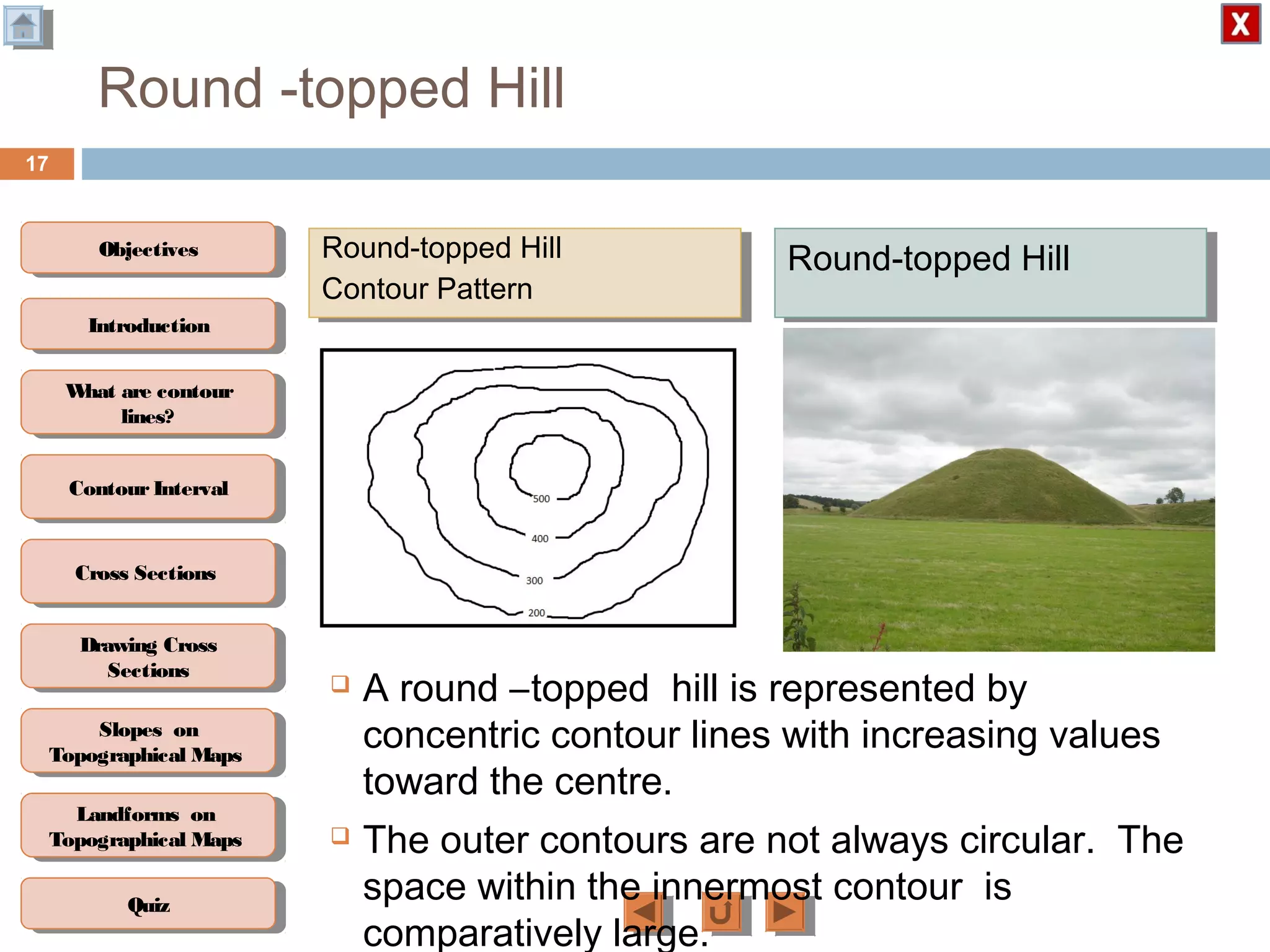
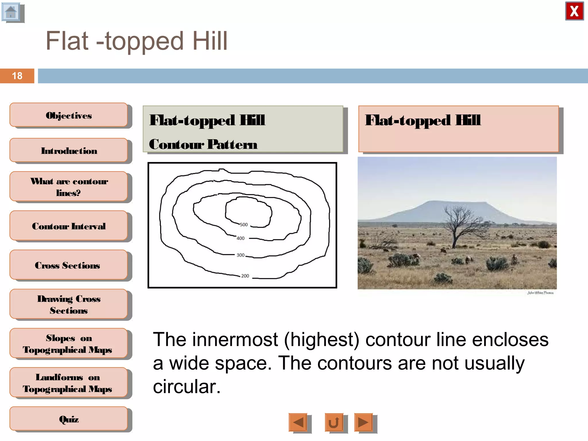
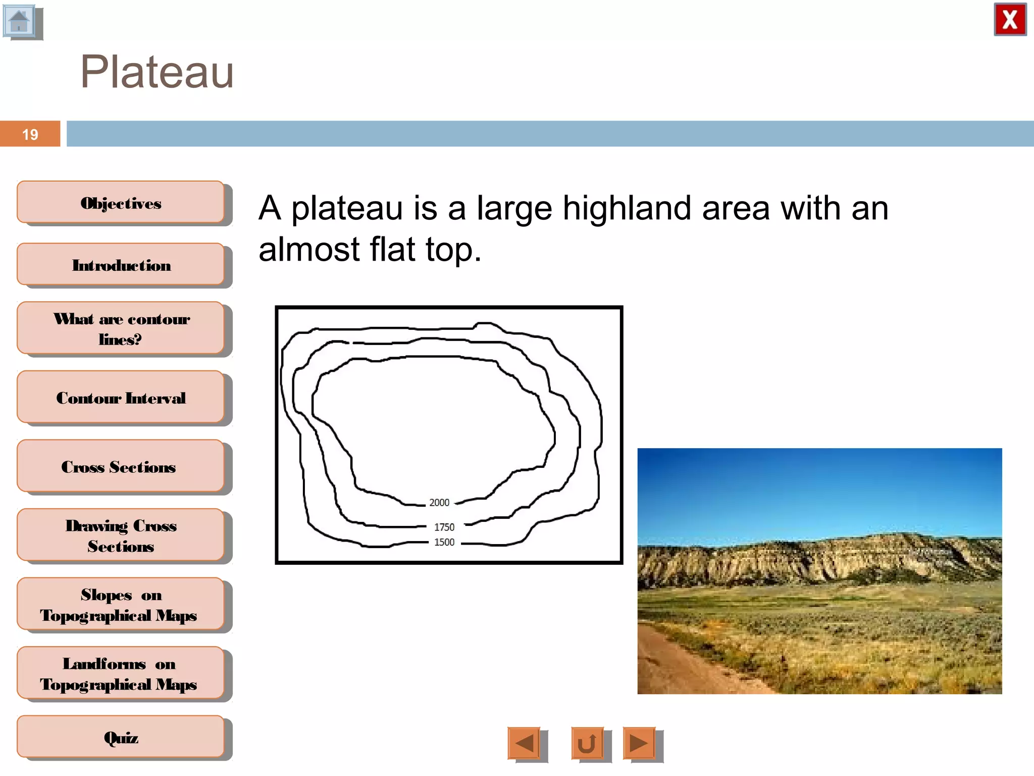
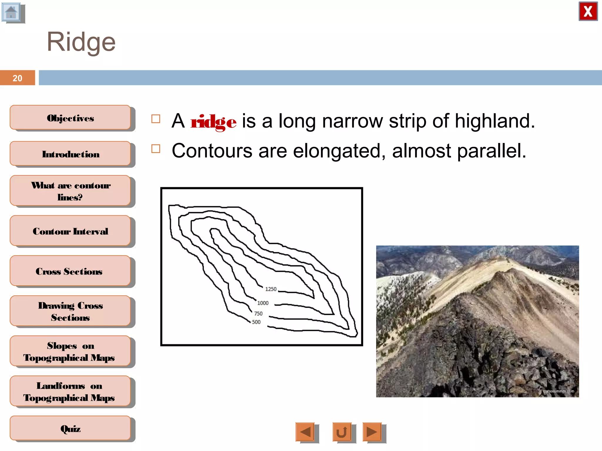
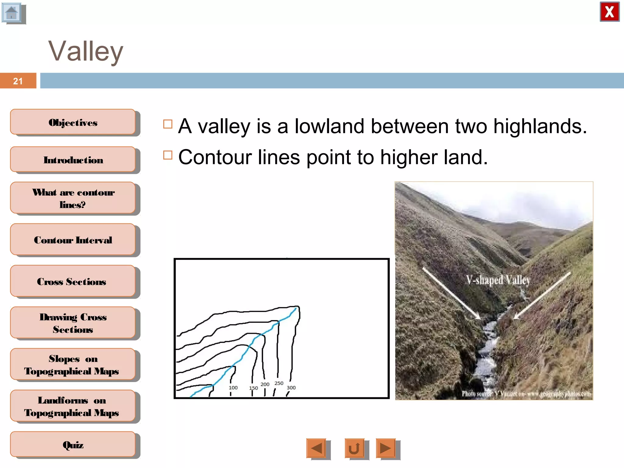

This document describes how to read and interpret contour lines on topographic maps. It contains the following key points: 1. Contour lines connect points of equal elevation and are used to depict the shape and elevation changes of landforms. 2. Cross-sections can be drawn from contour lines to show the side profile of landforms between two points. 3. The spacing and shapes of contour lines indicate different landforms - closely spaced lines indicate steep slopes while widely spaced lines show gentle slopes. Common landforms like hills, valleys, ridges and plateaus each have distinguishing contour patterns. 4. Interpreting contour lines allows describing the overall landscape and calculating elevation changes across an area. The document provides instructions


