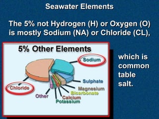
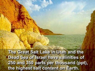
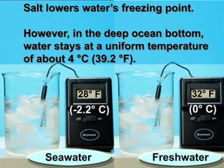
1) Seawater is composed of about 95% water and 5% other elements like sodium and chloride which make up salt. Most of the world's oceans are saline due to these dissolved elements.
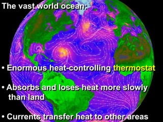
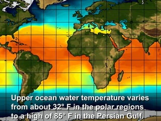
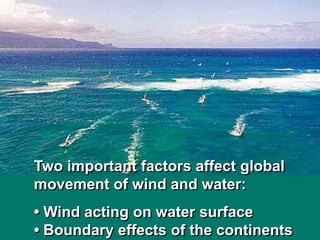
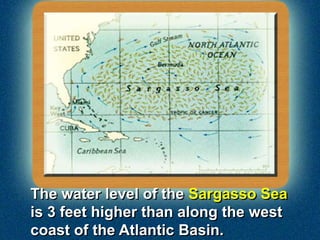
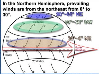
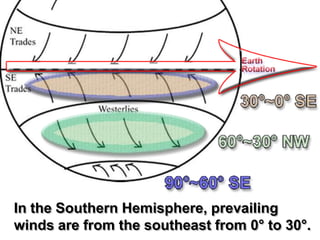
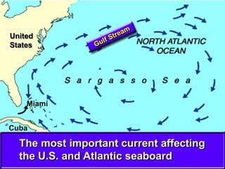
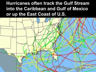
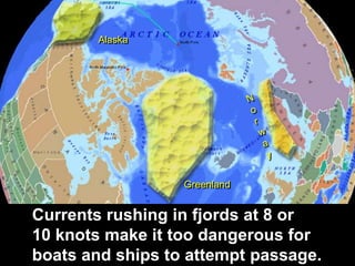
2) Ocean currents circulate heat and transfer it between regions, influencing the climate near coasts. The Coriolis effect, caused by the Earth's rotation, causes currents and winds to deflect right in the northern hemisphere and left in the southern hemisphere.
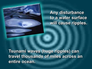
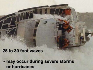
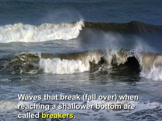
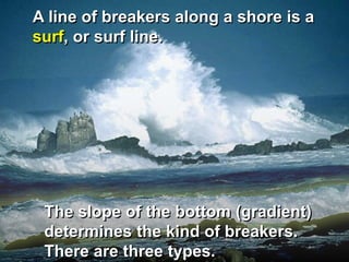
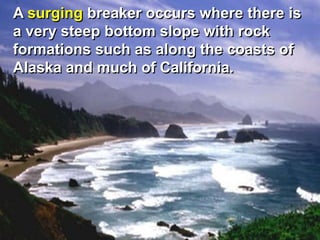
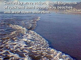
3) Waves are caused by wind, tidal changes, or seismic activity. Breakers occur when waves interact with the seafloor in shallow water, and can be spilling, plunging, or surging depending on the seafloor slope