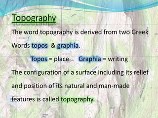
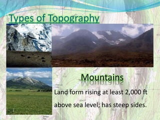
Topography is the study of the configuration of a surface, including its relief and natural and man-made features. It aims to determine the position, latitude, longitude, and altitude of features through direct survey techniques or remote sensing. Topographic data can take raw survey data, remote sensing data, topographic mapping, or digital elevation modeling forms. Key topographic landforms include mountains, hills, valleys, plains, plateaus, and bodies of water like streams, rivers, lakes, and waterfalls.


![Geo terms[1]](https://cdn.slidesharecdn.com/ss_thumbnails/geoterms1-100810230038-phpapp01-thumbnail.jpg?width=640&height=640&fit=bounds)


