Downloaded 739 times

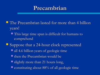
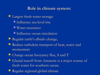
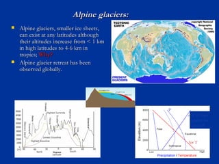


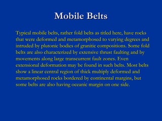

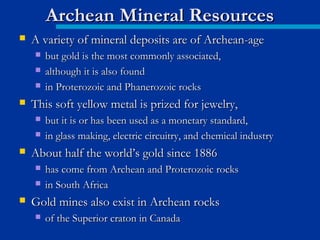
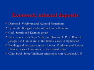
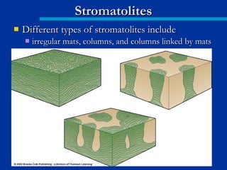
![Proterozoic sedimentary basins are divided into 2 types
based on age:
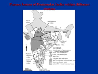
(a).Paleoproterozoic basins:
1.Bijawar and Sonrai basins Bundelkhand
and Harda Inlier craton
2.Gwalior basin
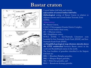
3.Abujhmar basin Bastar craton
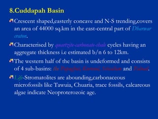
4.Papaghni sub-basin Dharwar craton
[Cuddapah basin]](https://image.slidesharecdn.com/precambriangeology-170607025133/85/Precambrian-geology-122-320.jpg)
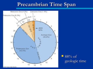
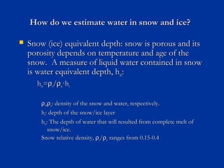
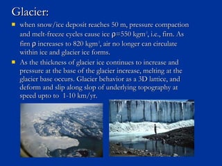
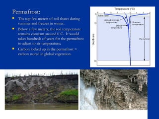
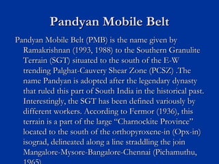
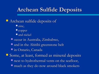
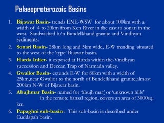
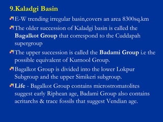
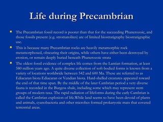
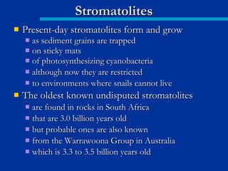
![(b).(b).Meso-Neoproterozoic basins
11. Vindhyan basin Bundhekhand craton
2. Chhattisgarh basin
3. Khariar basin
4. (a)Ampani basin,
(b)Keskal, Singanpar Bastar craton
and Chedrapal outliers
5. Indravathi basin
6. Sabari[Sukma] basin
7. Pranhita-Godavari basin b/n Bastar and Dharwar
cratons
8. Cuddapah basin
9. Kaladgi basin Dharwar craton
10. Bhima basin](https://image.slidesharecdn.com/precambriangeology-170607025133/85/Precambrian-geology-123-320.jpg)

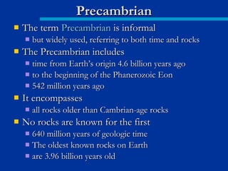
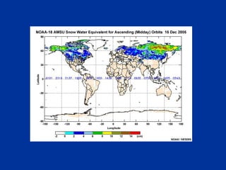
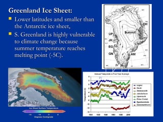
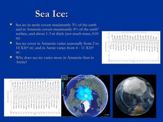
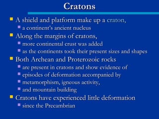
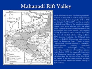
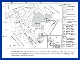
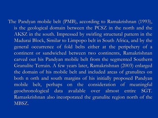
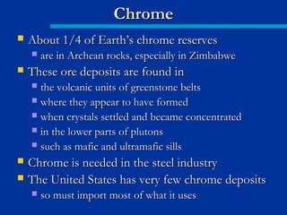
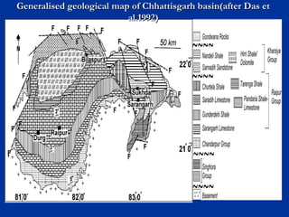
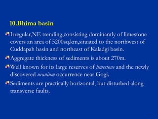
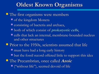
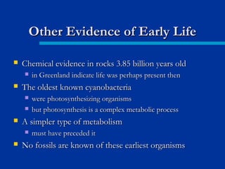
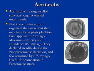
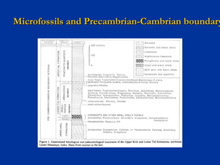
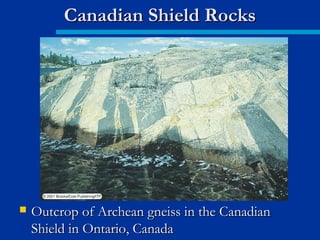
![2.Chhattisgarh basin
Larget Purana basin in Bastar craton, covering an area
of about 36000 sq. km is situated on the northern edge
of Bastar craton.
Lithostatigraphy:
(c). Raipur Group[1900m]
(b). Chandrapur Group[400m]
(a). Singhora Group[400m]
Lithology: Felspathic arenite, arkose, basal
conglomerate, sandstone, dolomite shale, limestone.
Evidence of life- Microbiota include prokaryotic
cyanobacteria, unidentified algal remains and
acritarchs.](https://image.slidesharecdn.com/precambriangeology-170607025133/85/Precambrian-geology-127-320.jpg)


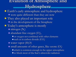
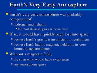
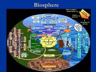
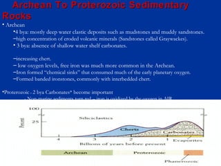
The document discusses the Precambrian Eon, which lasted over 4 billion years and comprised approximately 88% of geologic time. During the Precambrian, the Earth had a different atmosphere and hydrosphere than today. The earliest atmosphere was likely hydrogen and helium but was lost to space. Once Earth developed a magnetosphere, volcanism led to an atmosphere forming via outgassing, but it lacked free oxygen and an ozone layer, containing gases like carbon dioxide, ammonia and methane instead.


