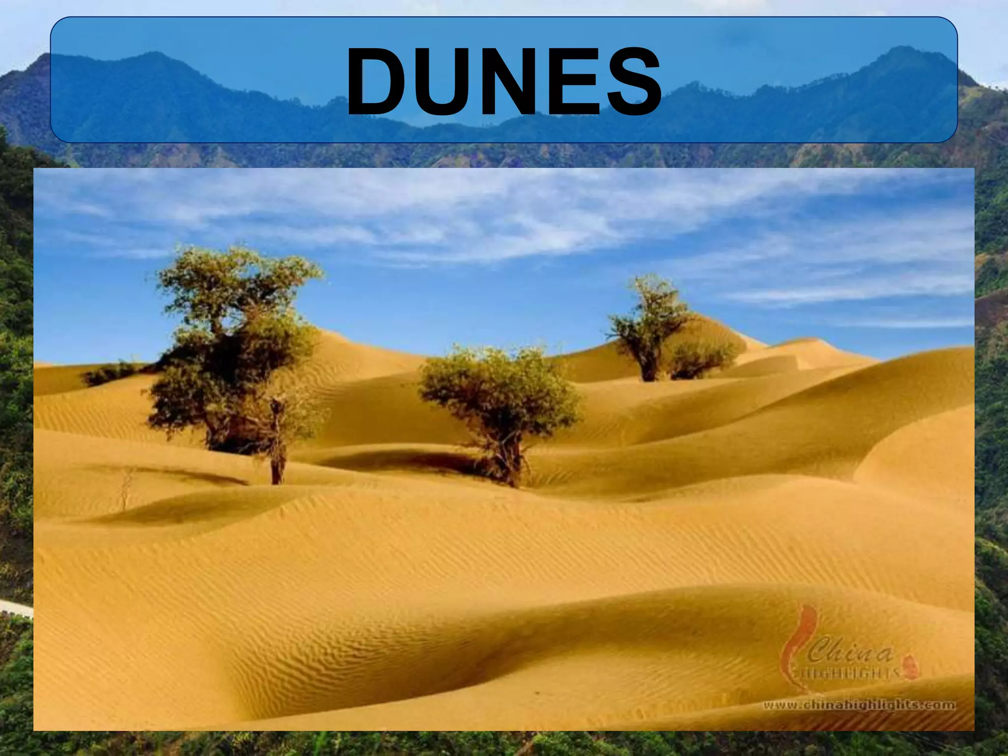
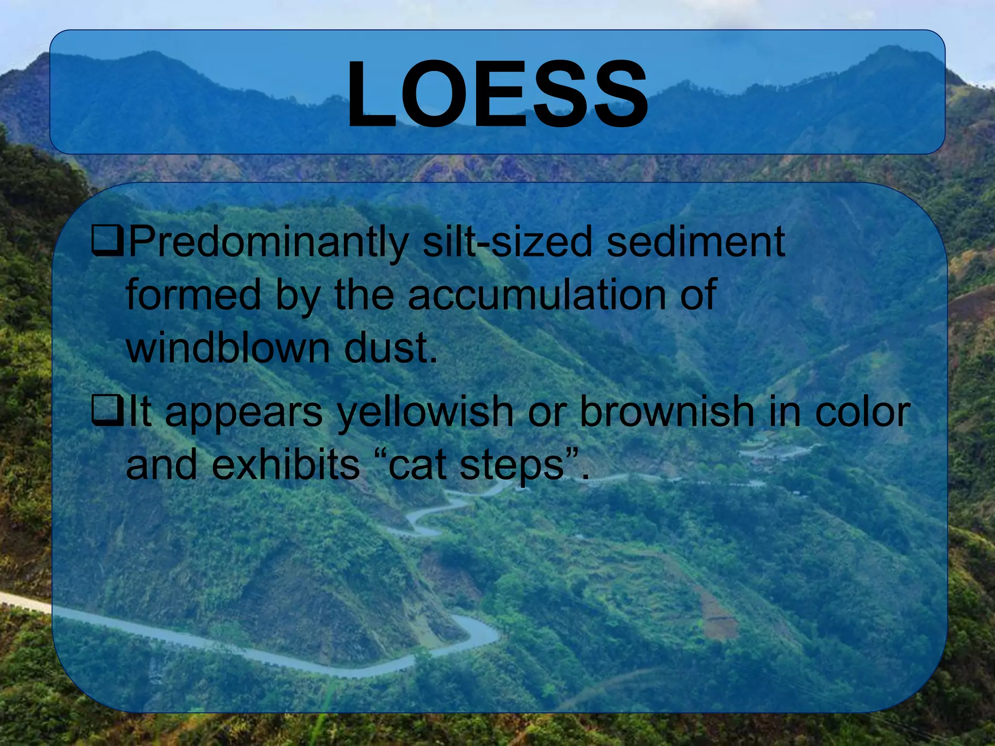
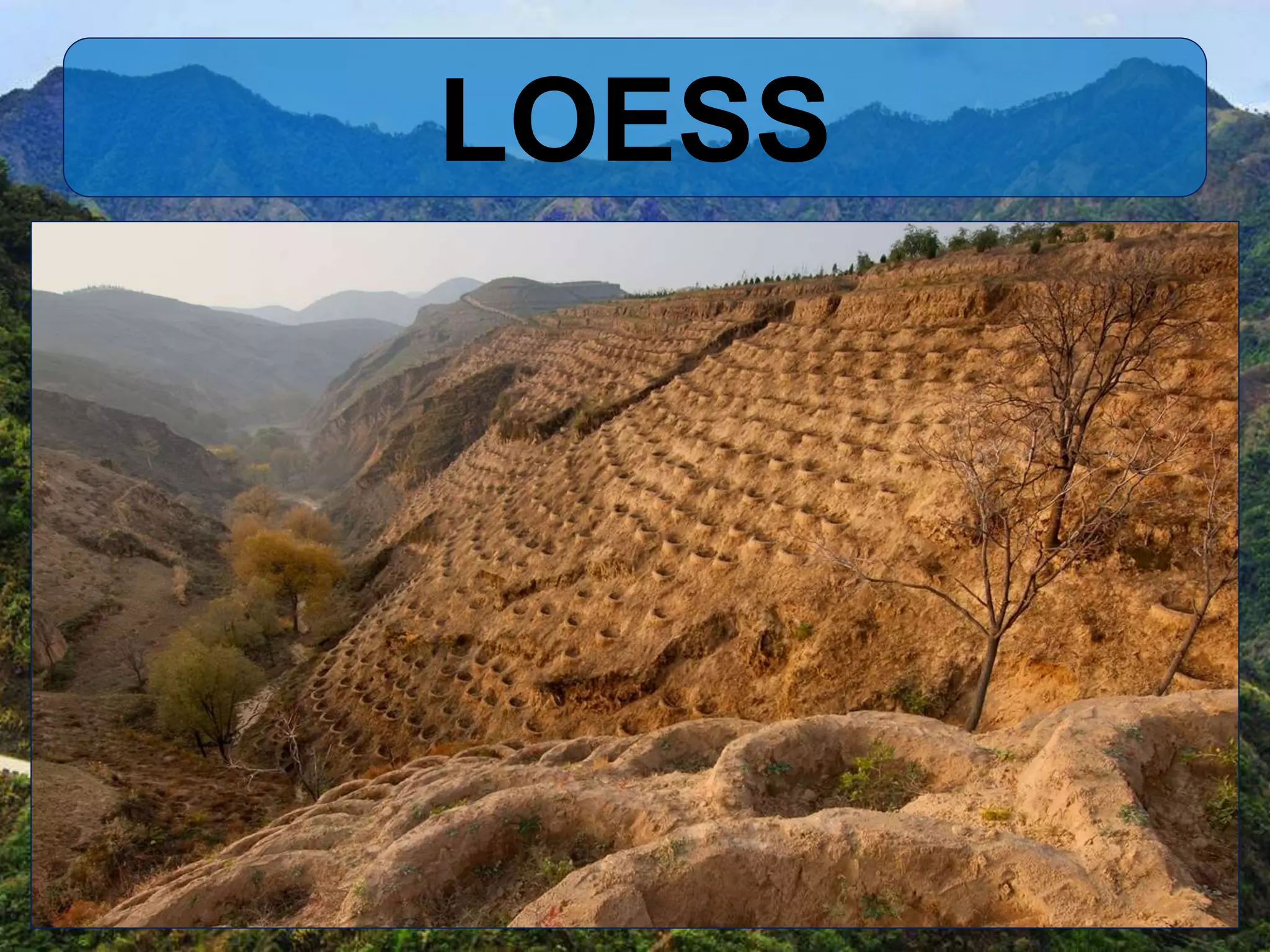
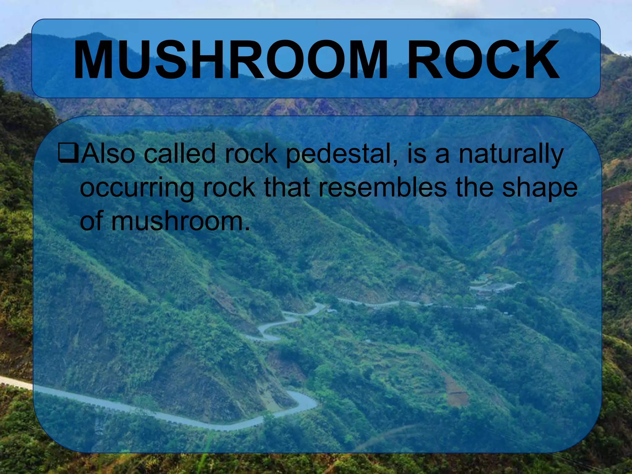
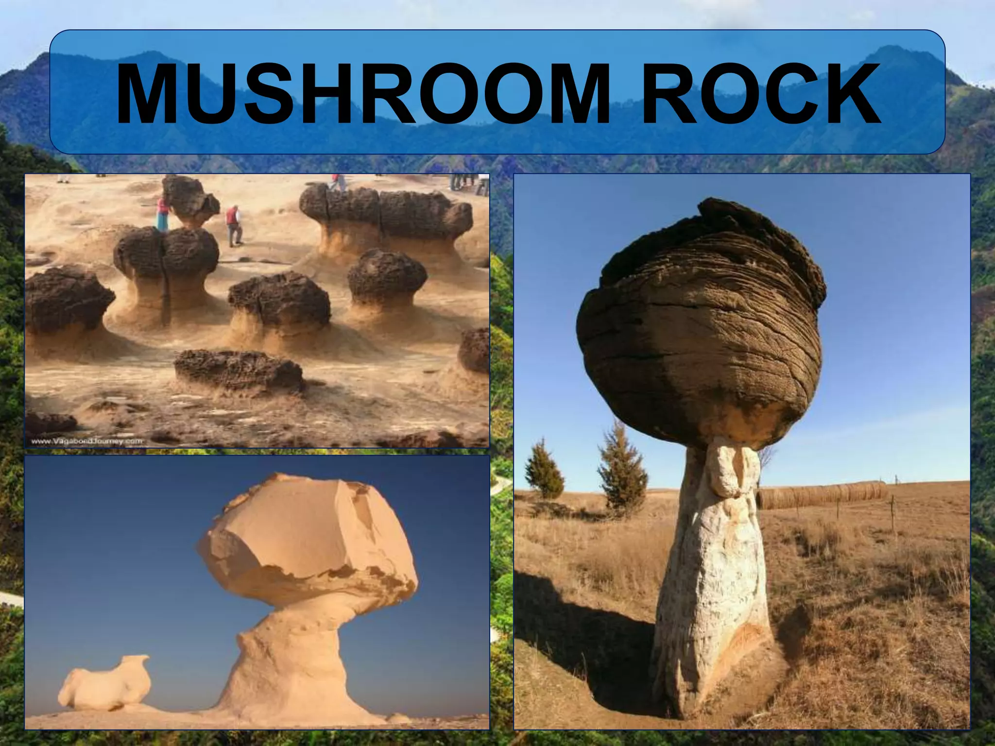
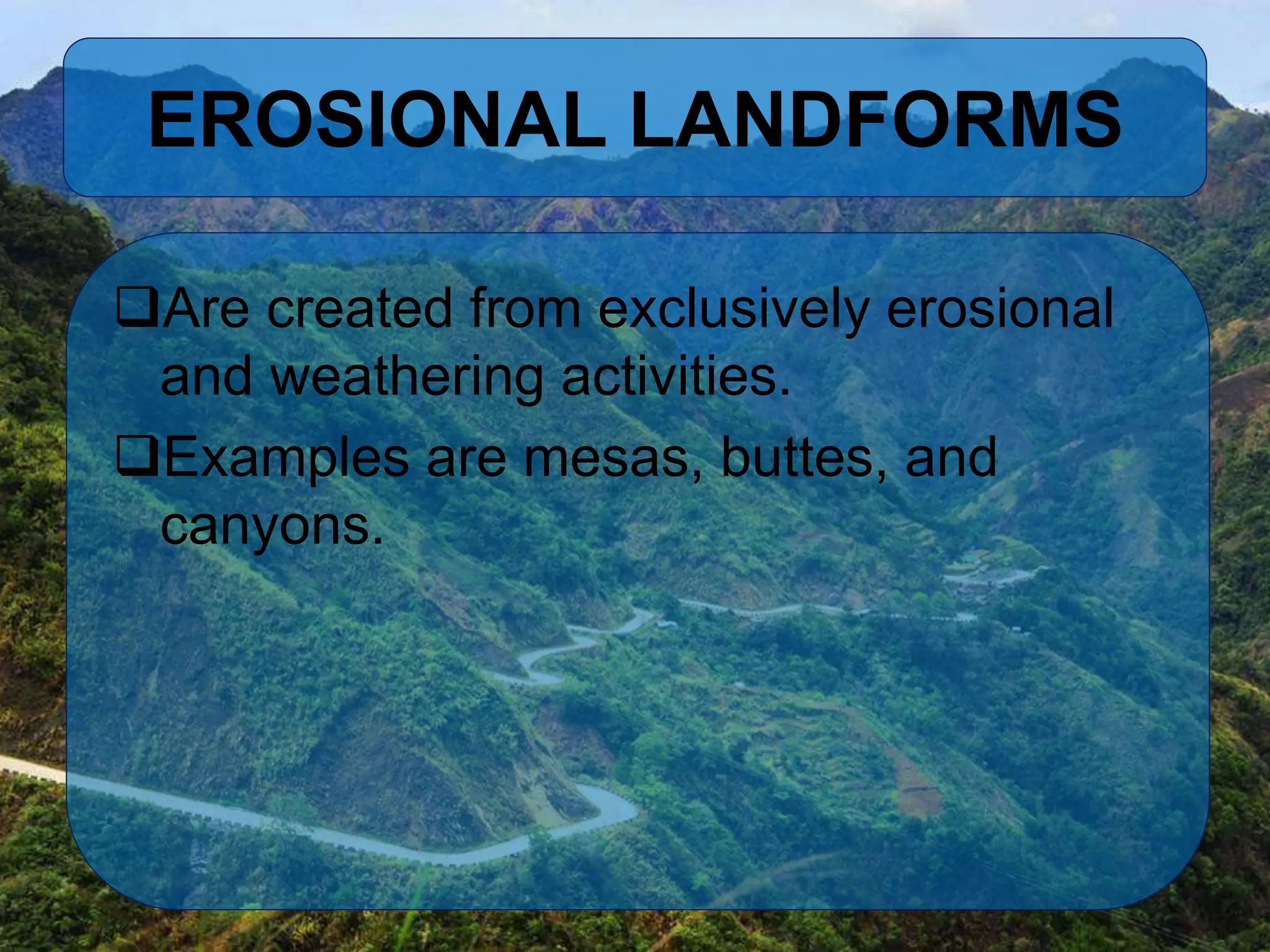
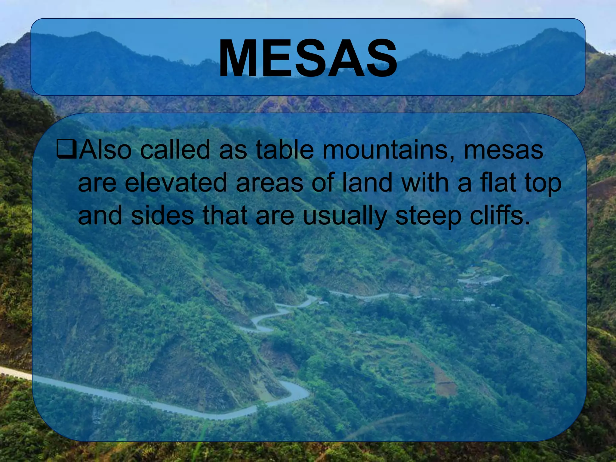
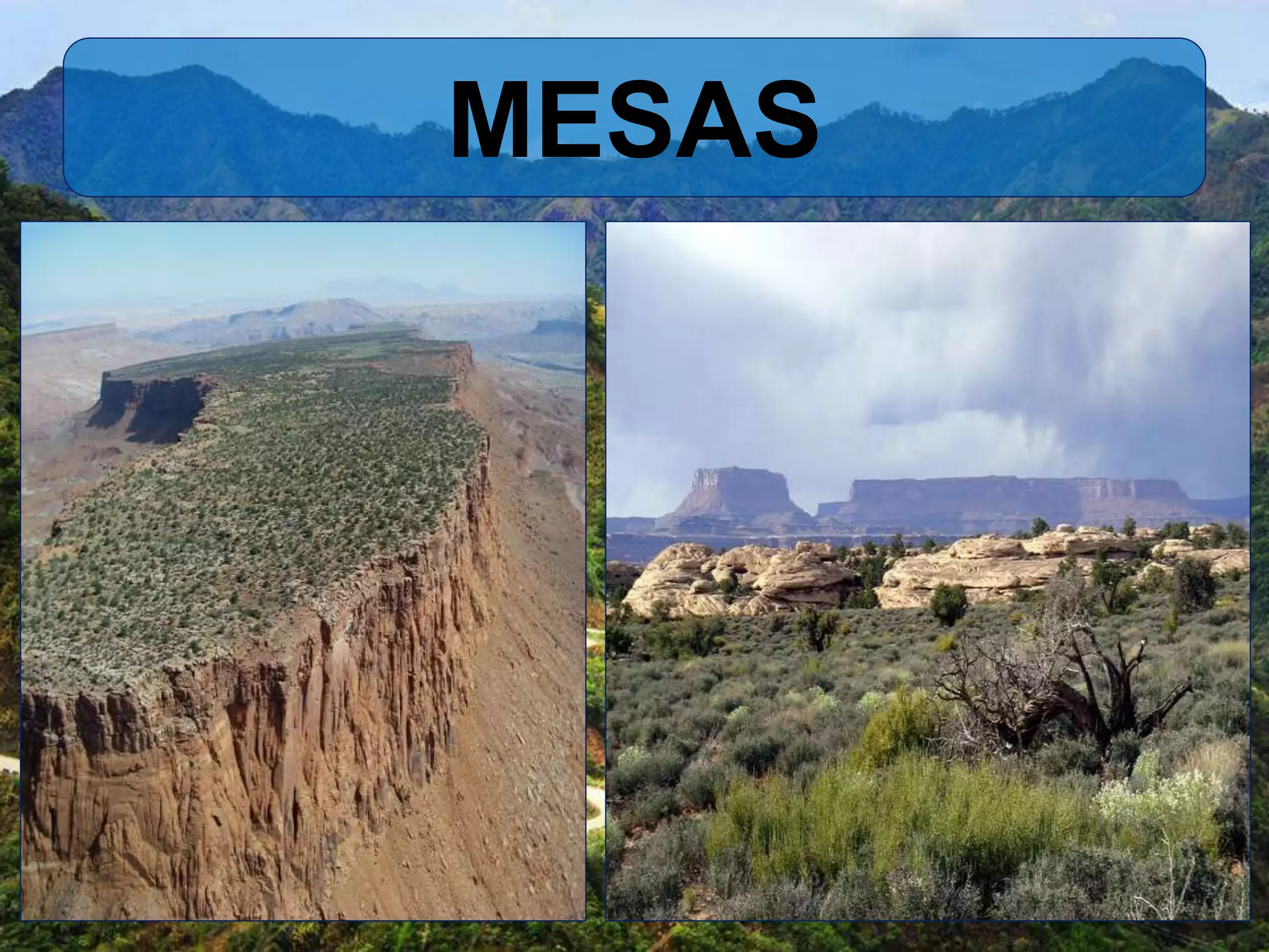
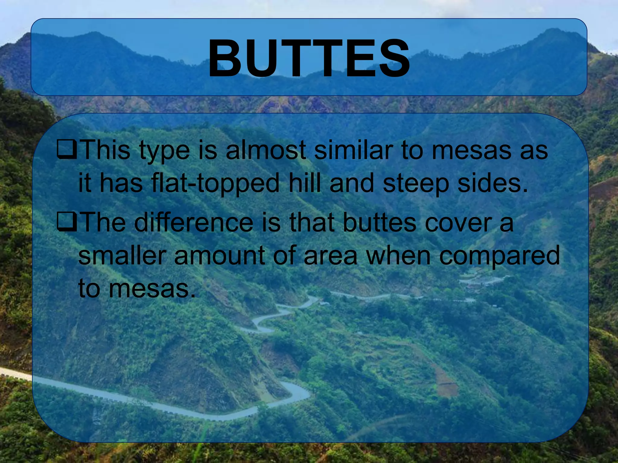
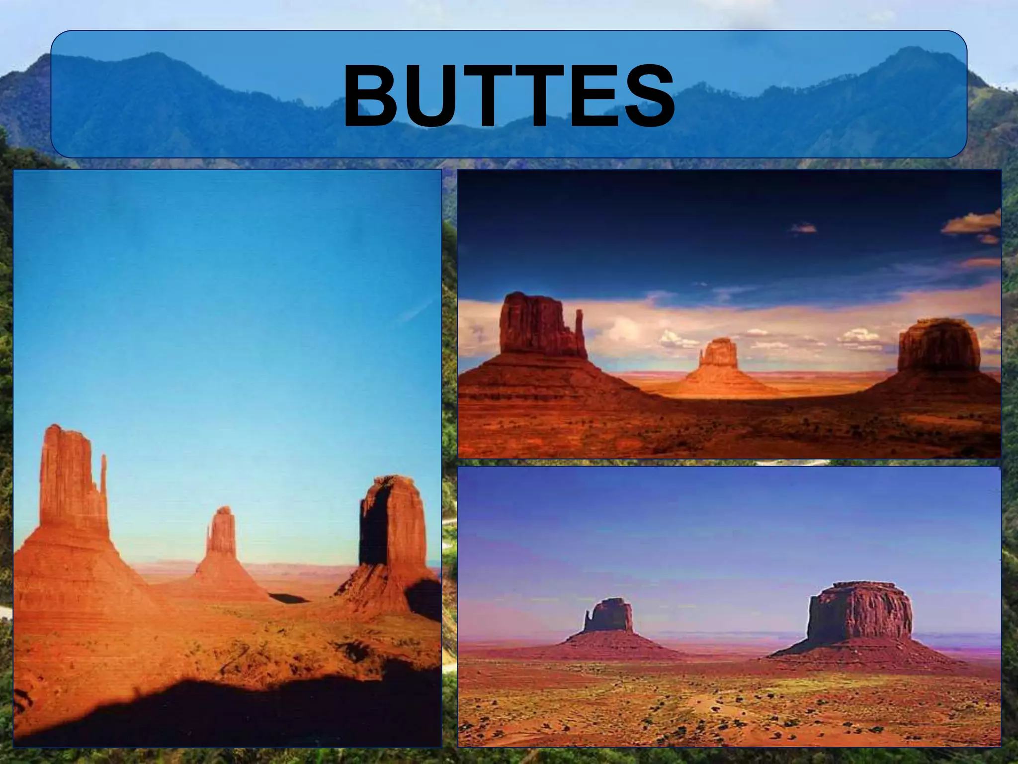
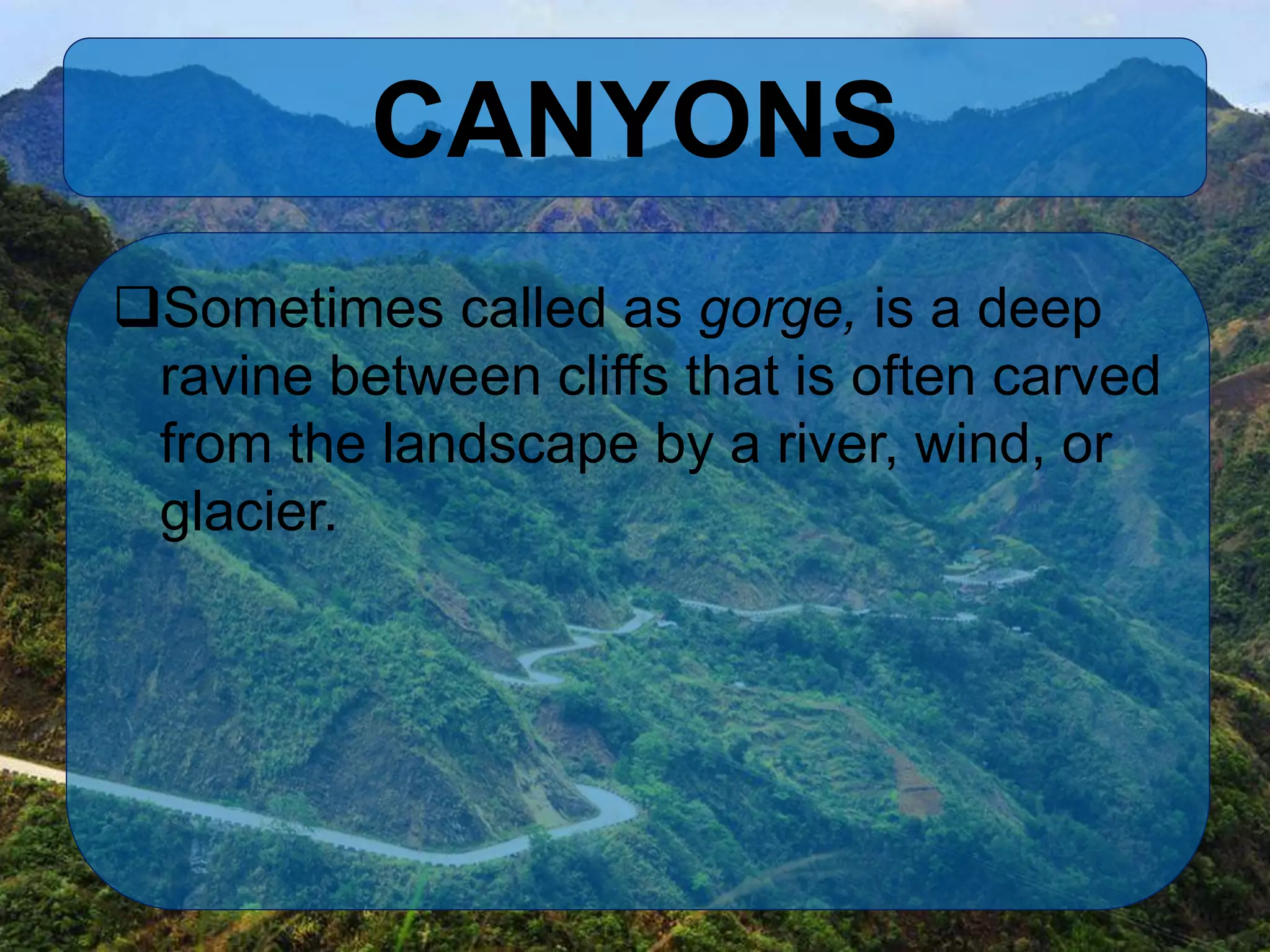
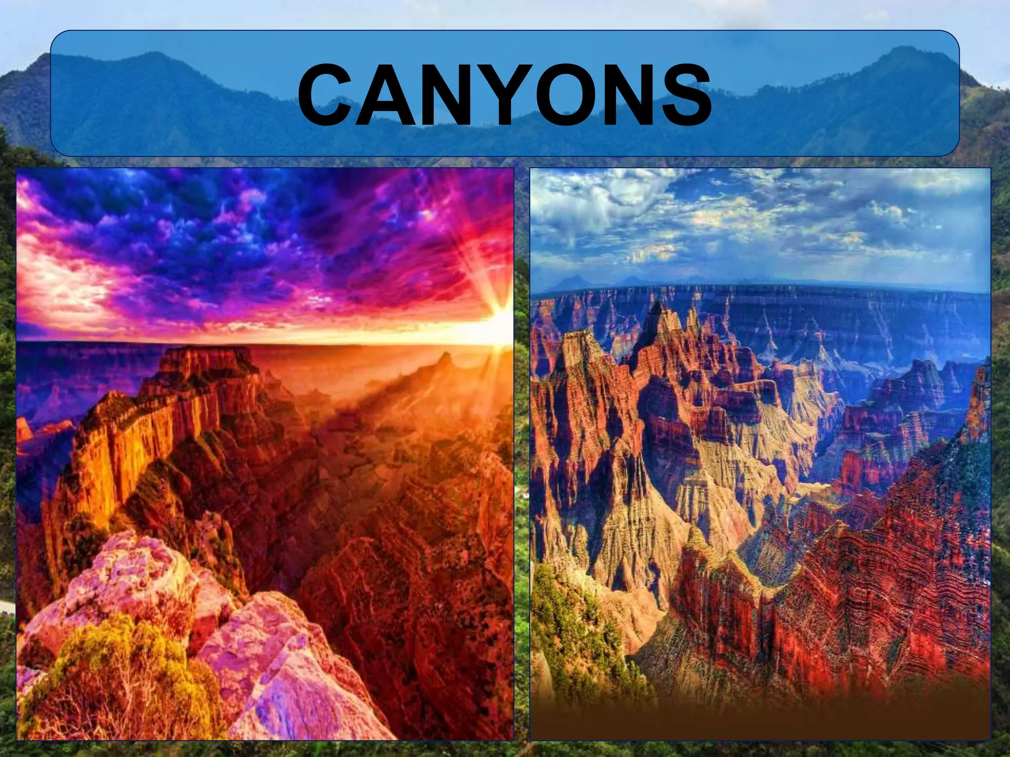
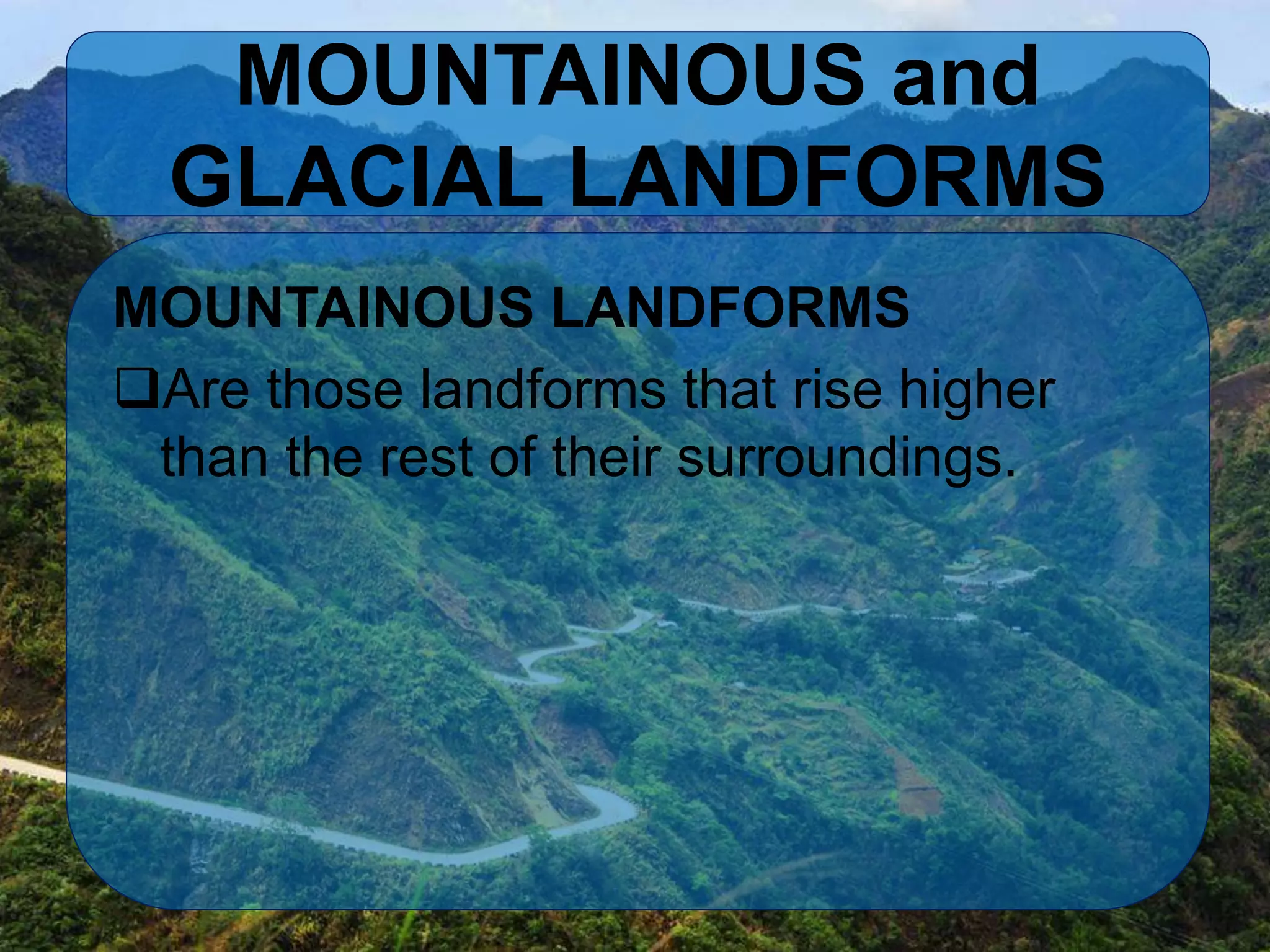
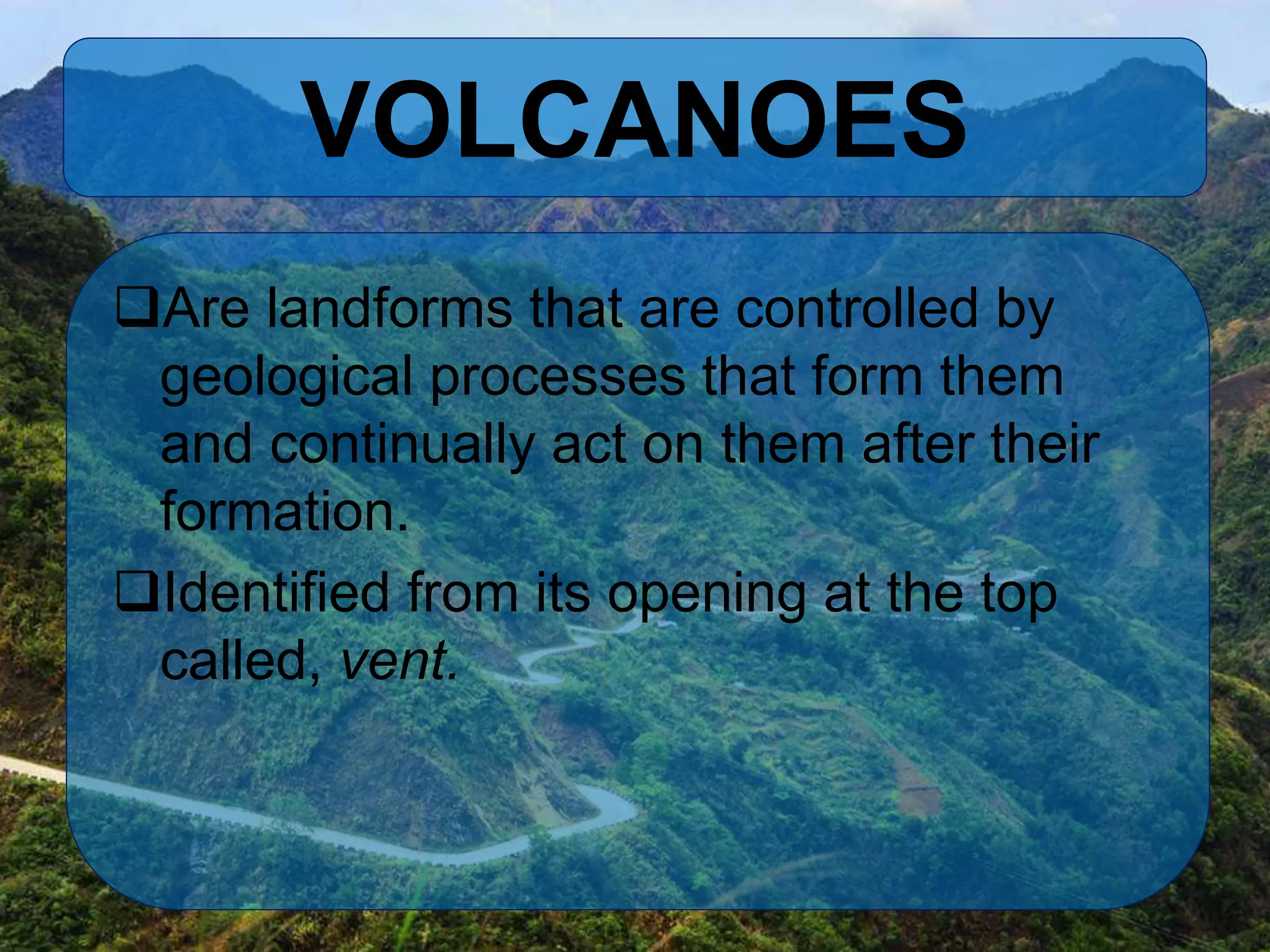
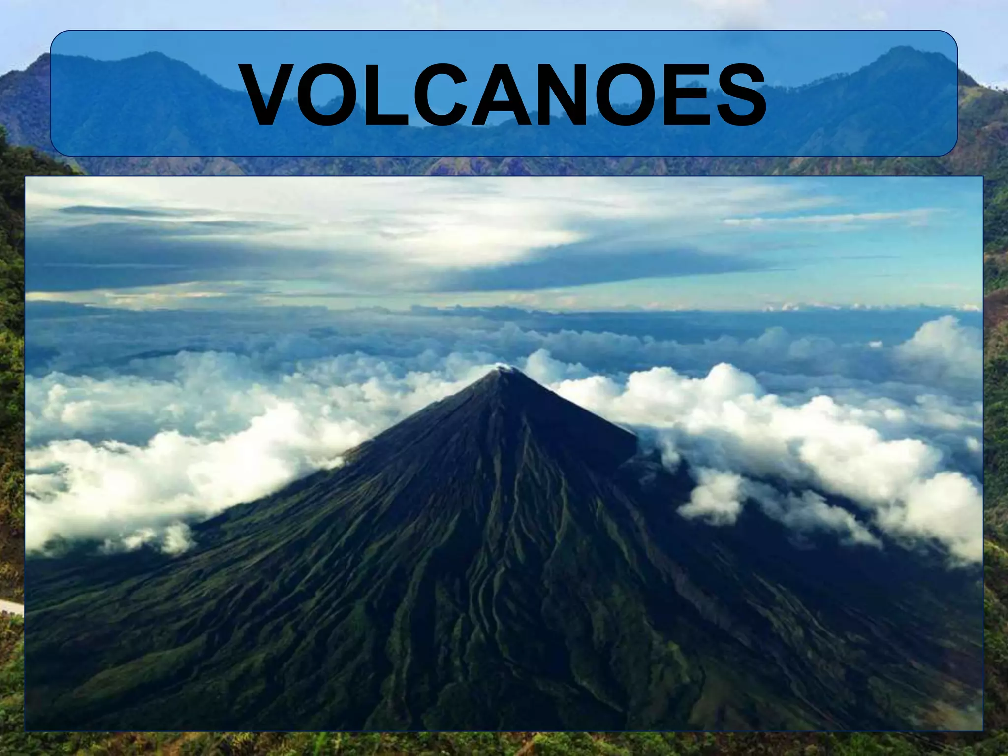
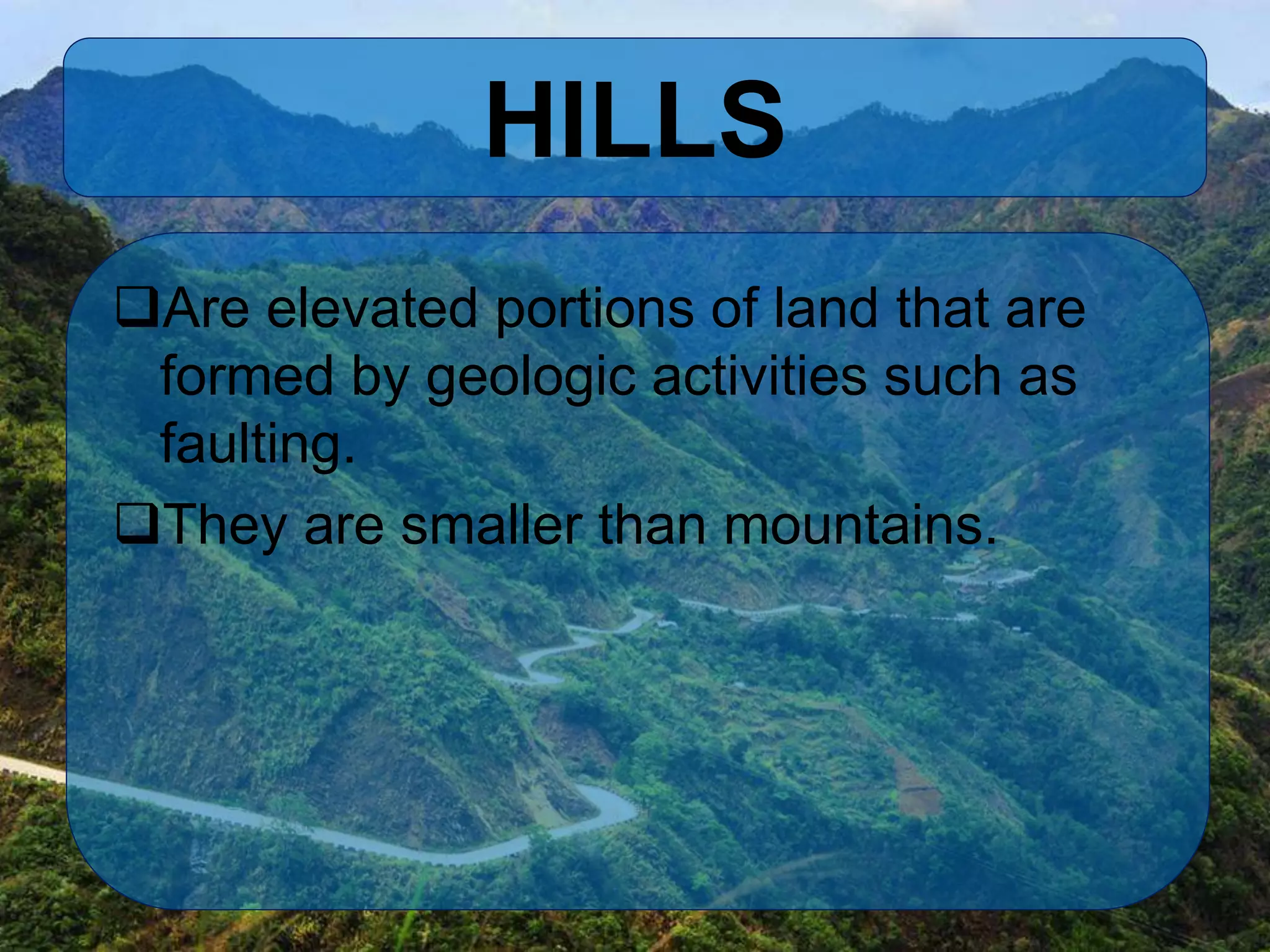
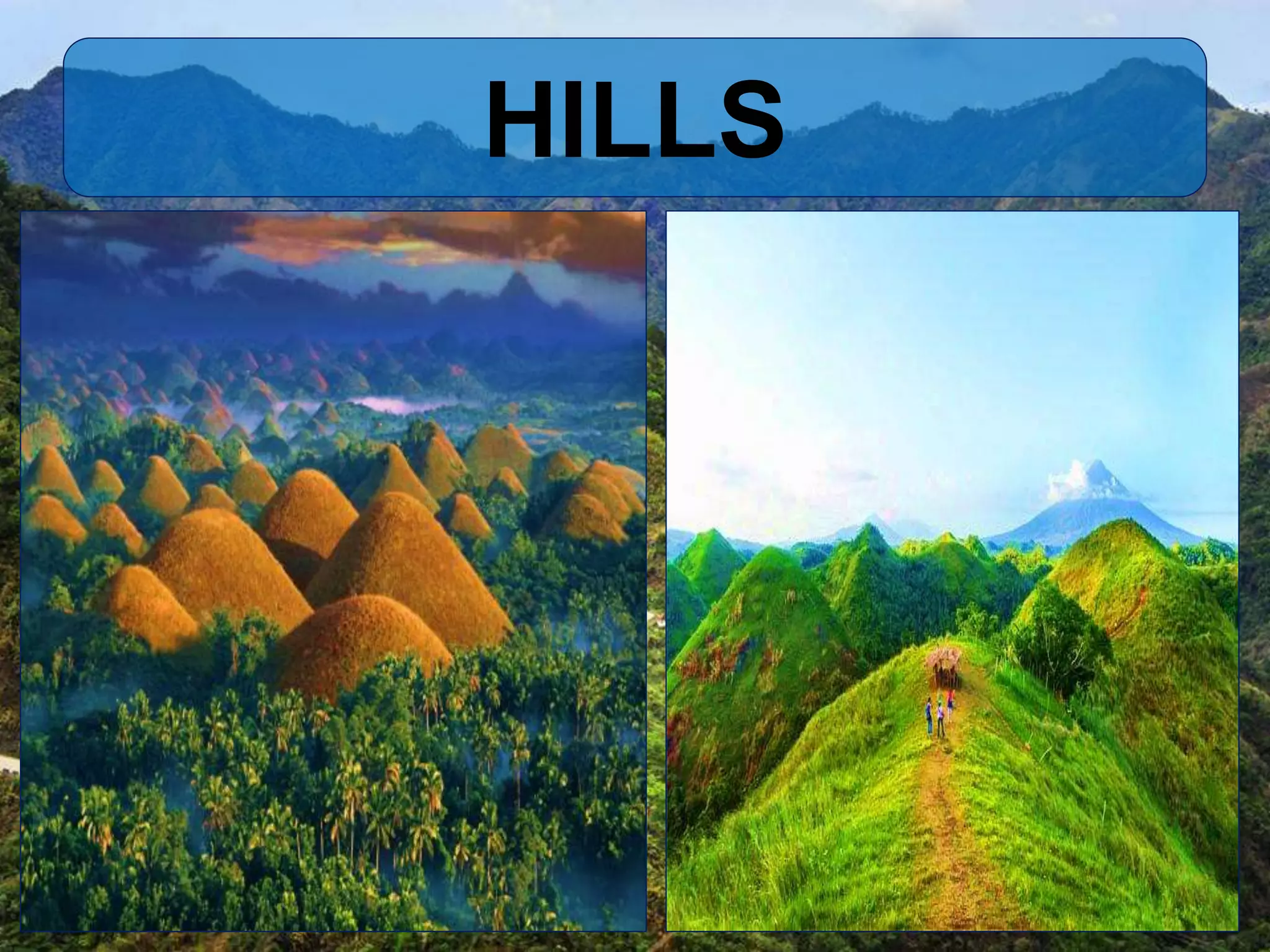
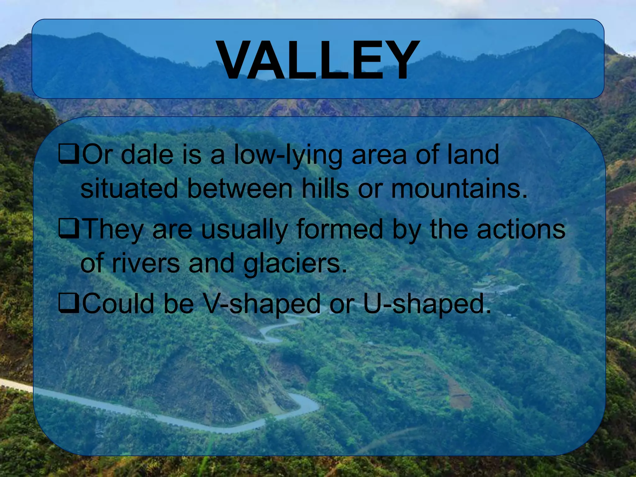
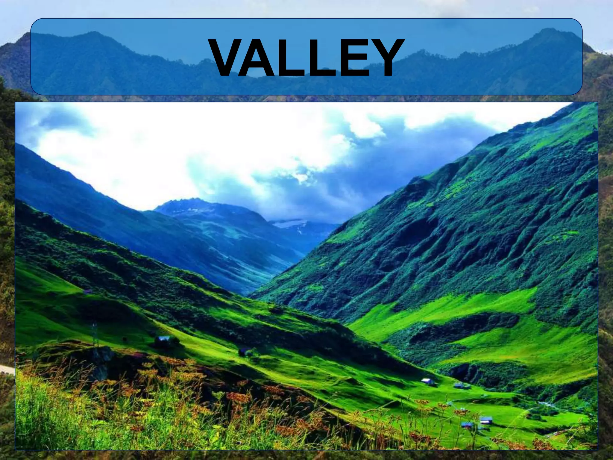
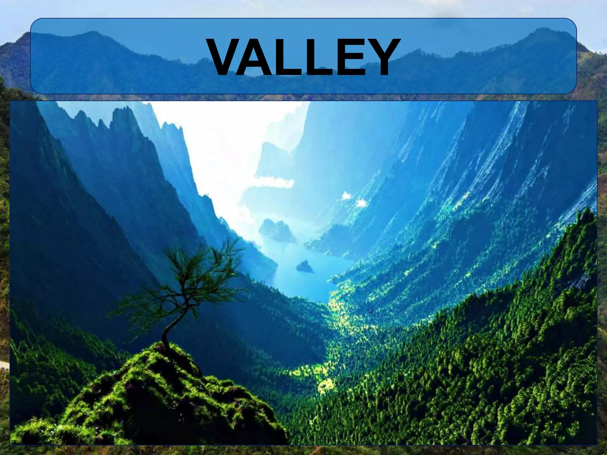
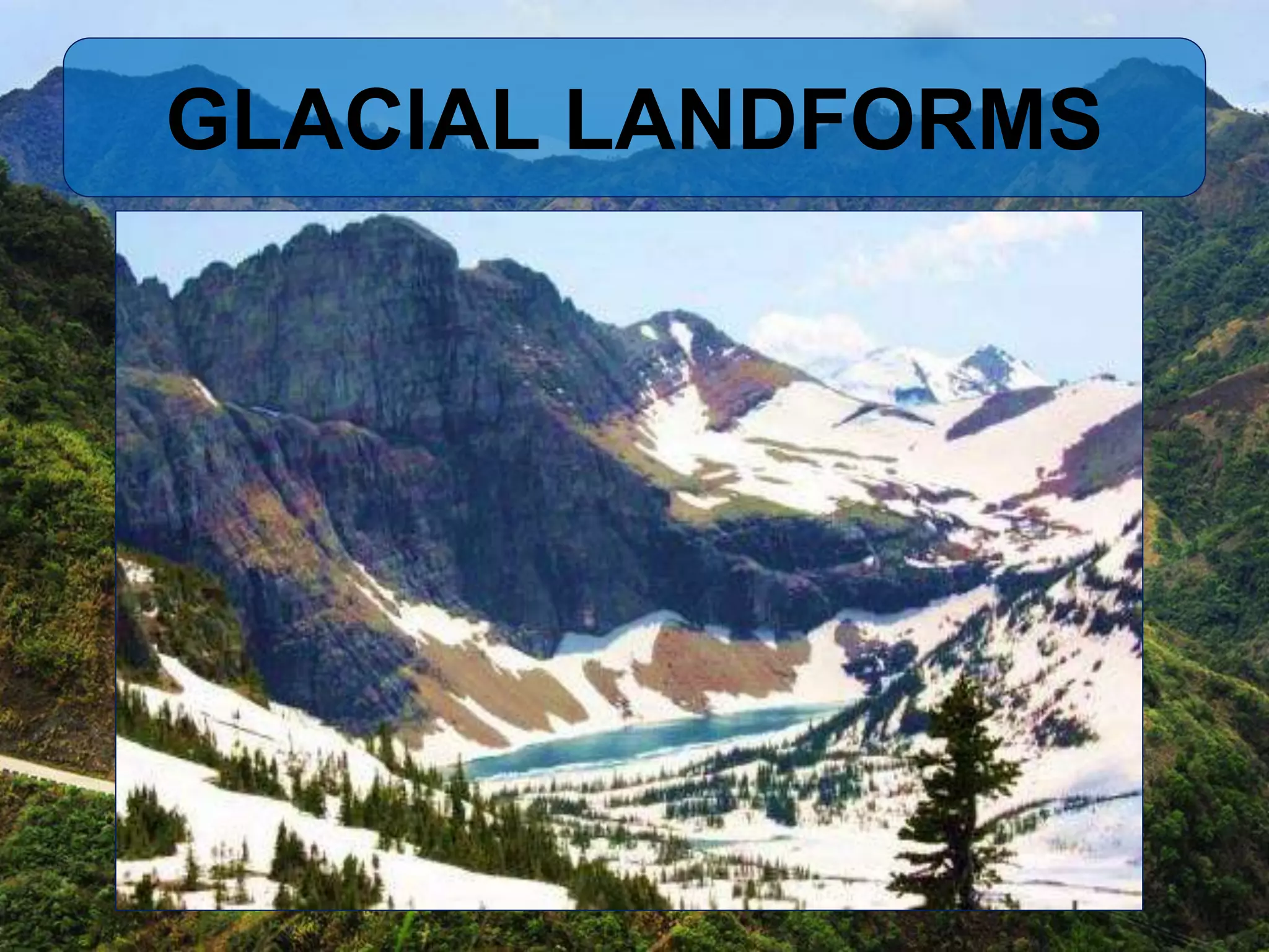
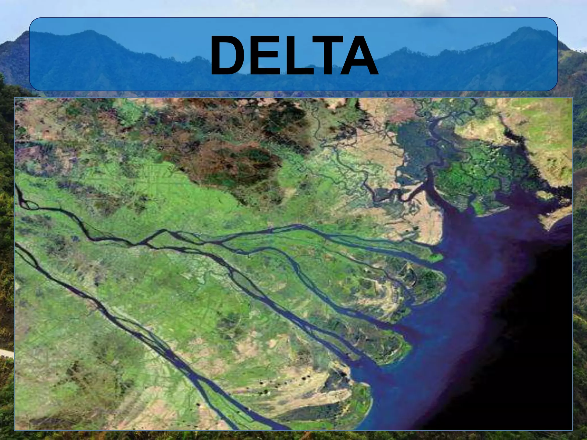
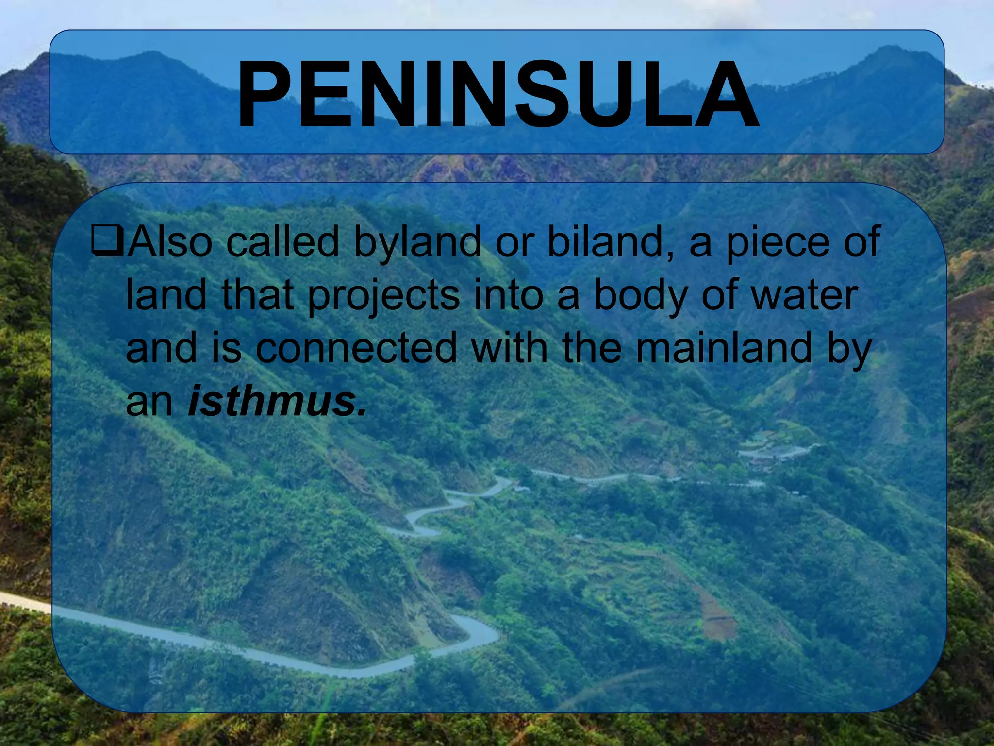
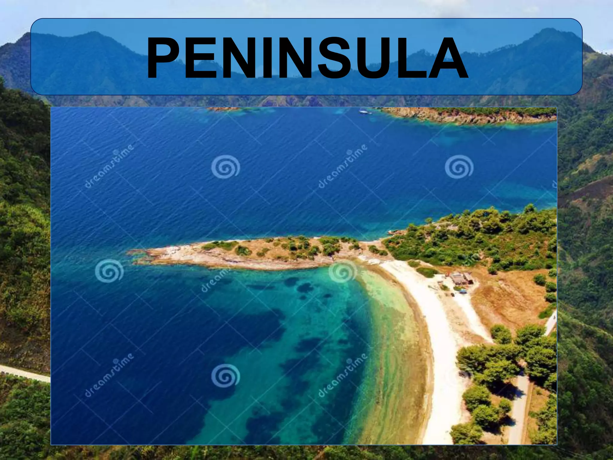
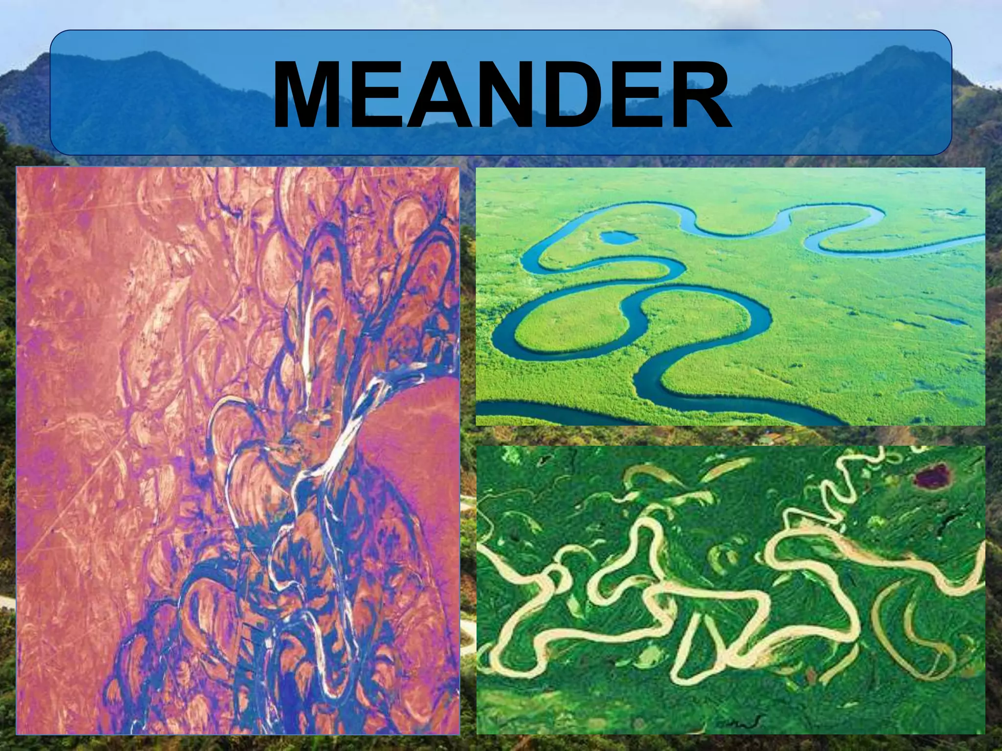
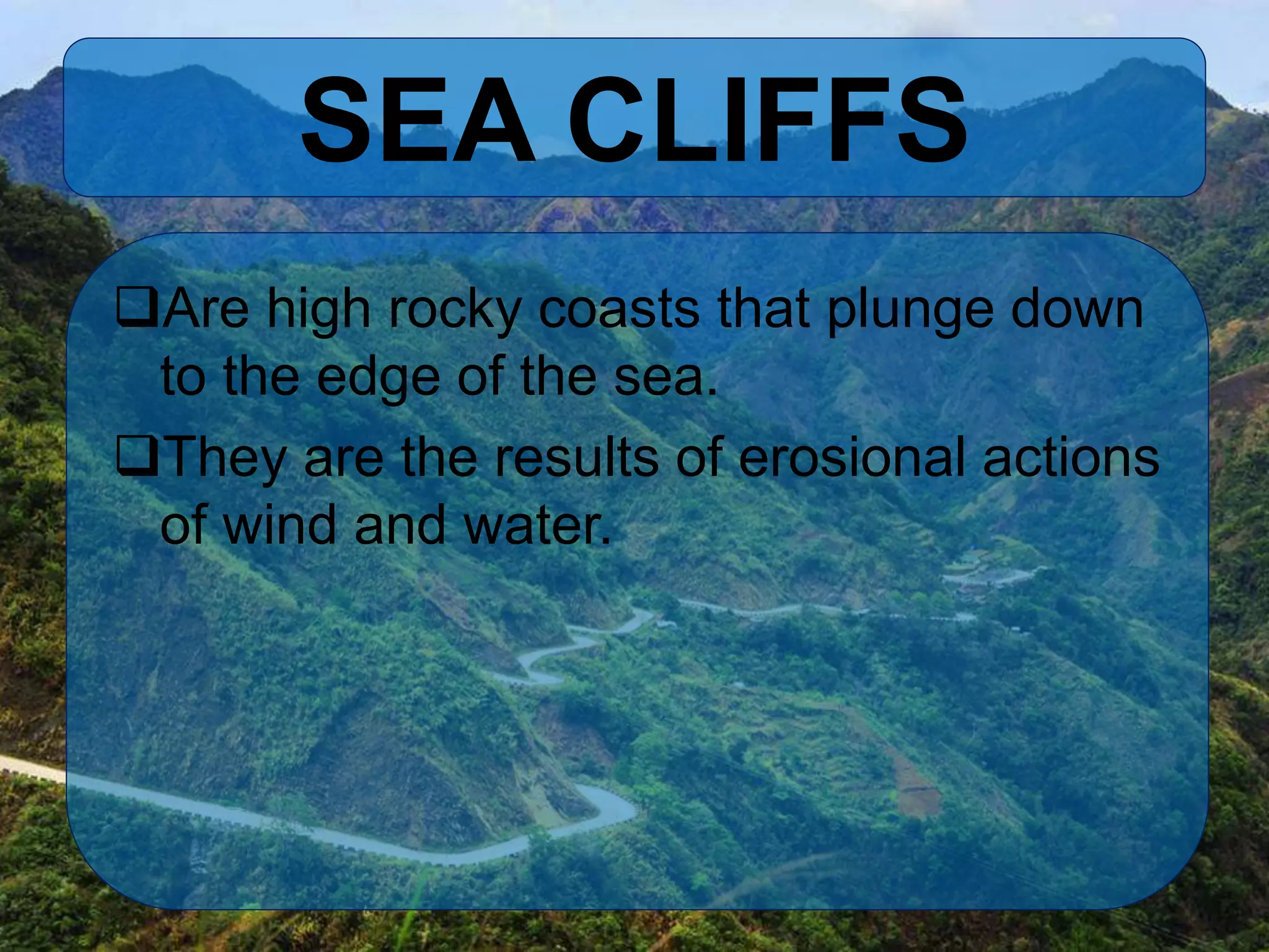
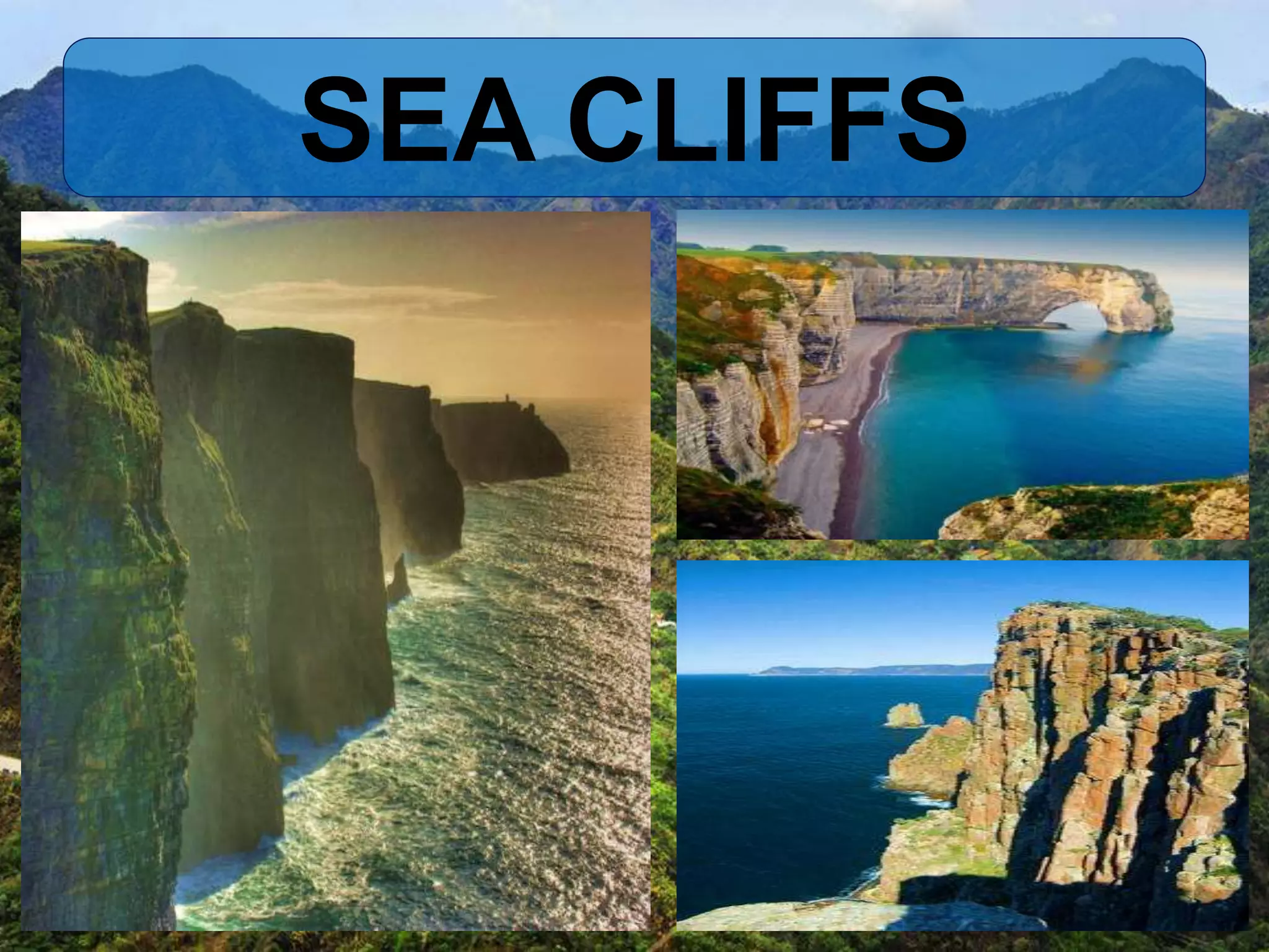
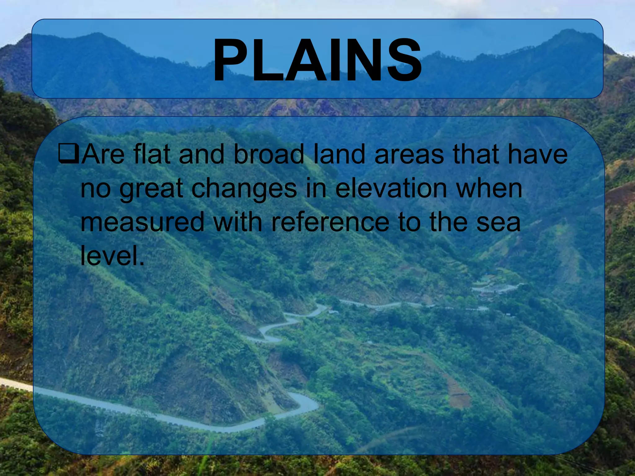
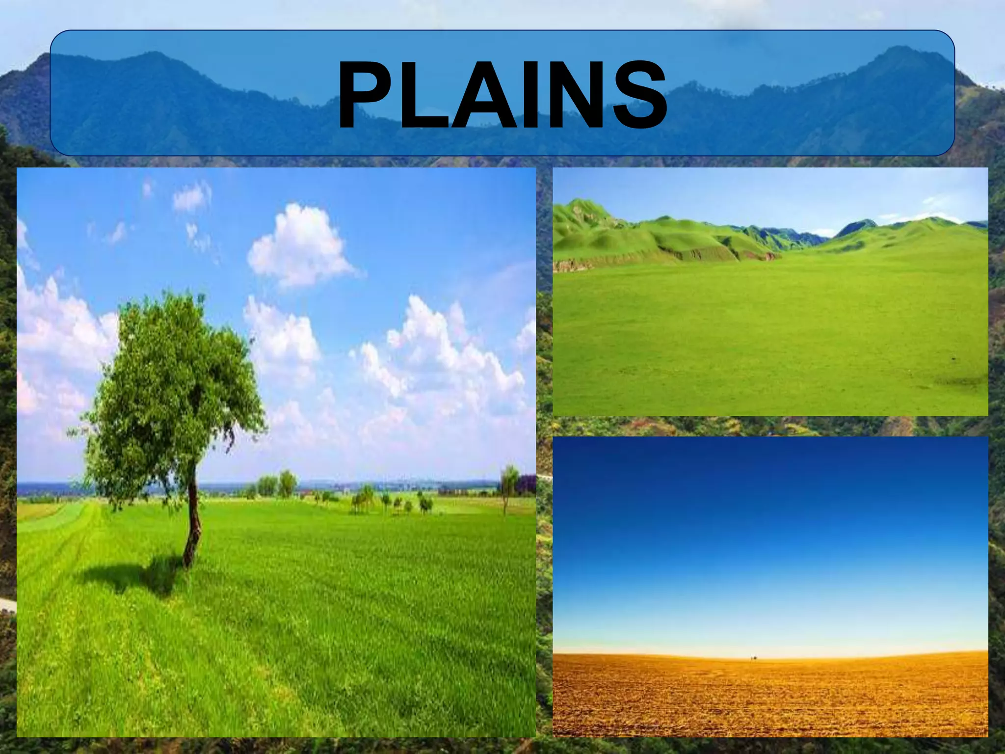
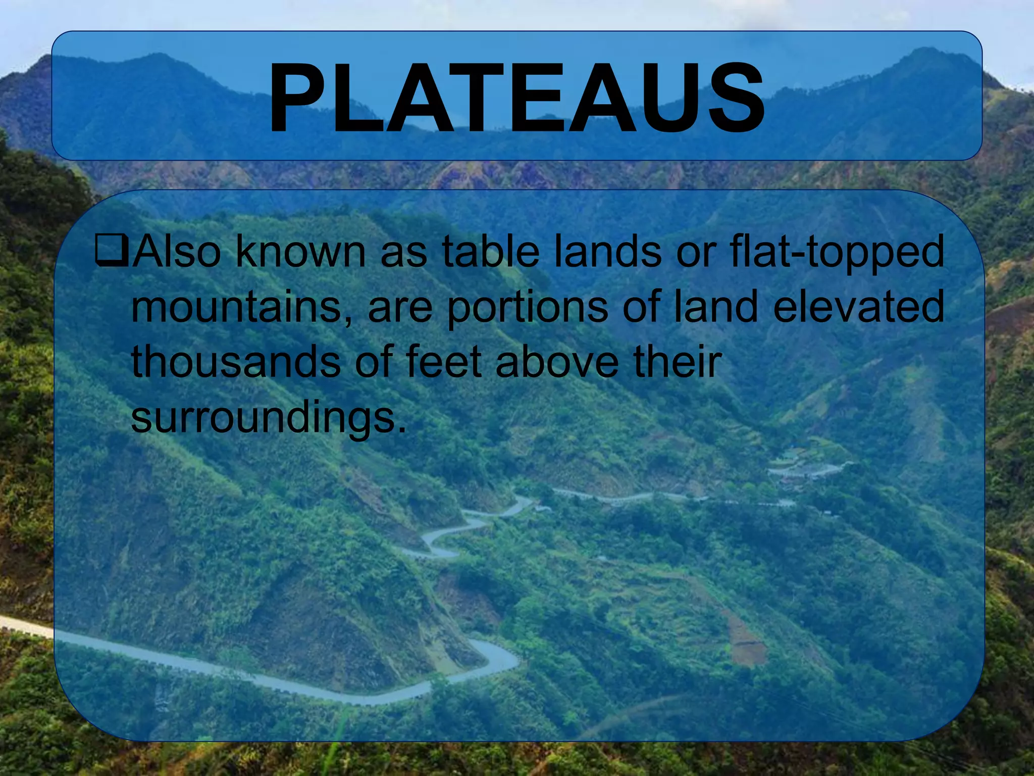
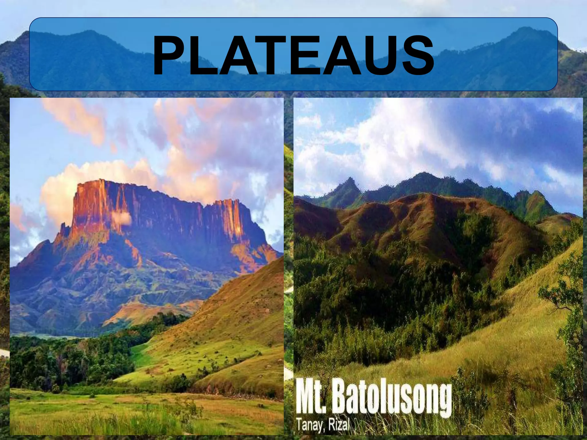
GEOMORPHOLOGY
• Is the scientific study of landforms and
the processes that shape them.
TOPOGRAPHY
• The study of the current terrain
features of a region and graphic
representation.
LANDFORMS
• Natural physical features of Earth.
AEOLIAN FORMS
Are formed by the chemical and
mechanical action of wind.
The word is derived from the Greek
God of winds, Aeolus.
Examples are Dunes, Loess, and
Mushroom Rocks.
DUNES
Are mounds or small hills made up of
sand.
They maybe shaped in a dome,
crescent, star, linear, or parabolic.
DUNES
LOESS
Predominantly silt-sized sediment
formed by the accumulation of
windblown dust.
It appears yellowish or brownish in color
and exhibits “cat steps”.
LOESS
MUSHROOM ROCK
Also called rock pedestal, is a naturally
occurring rock that resembles the shape
of mushroom.
MUSHROOM ROCK
EROSIONAL LANDFORMS
Are created from exclusively erosional
and weathering activities.
Examples are mesas, buttes, and
canyons.
MESAS
Also called as table mountains, mesas
are elevated areas of land with a flat top
and sides that are usually steep cliffs.
MESAS
BUTTES
This type is almost similar to mesas as
it has flat-topped hill and steep sides.
The difference is that buttes cover a
smaller amount of area when compared
to mesas.
BUTTES
CANYONS
Sometimes called as gorge, is a deep
ravine between cliffs that is often carved
from the landscape by a river, wind, or
glacier.
CANYONS
MOUNTAINOUS and
GLACIAL LANDFORMS
MOUNTAINOUS LANDFORMS
Are those landforms that rise higher
than the rest of their surroundings.
VOLCANOES
Are landforms that are controlled by
geological processes that form them
and continually act on them after their
formation.
Identified from its opening at the top
called, vent.
VOLCANOES
HILLS
Are elevated portions of land that are
formed by geologic activities such as
faulting.
They are smaller than mountains.
HILLS
VALLEY
Or dale is a low-lying area of land
situated between hills or mountains.
They are usually formed by the actions
of rivers and glaciers.
Could be V-shaped or U-shaped.
VALLEY
VALLEY
GLACIAL LANDFORMS
Are the results of the actions of the
glaciers.
Glaciers- are huge slow-moving bodies
of ice.
GLACIAL LANDFORMS
FLUVIAL LANDFORMS and
COASTAL LANDFORMS
Fluvial landforms are those that
underwent sedimentation, erosion, or
deposition on the river bed.
DELTA
A low-lying triangular area located at
the mouth of rivers where it meets an
ocean, sea, or an estuary.
DELTA
PENINSULA
Also called byland or biland, a piece of
land that projects into a body of water
and is connected with the mainland by
an isthmus.
PENINSULA
MEANDER
Is a bend in a sinuous watercourse of
river.
It is formed when moving water in
stream erodes the out banks then
widens its valley.
MEANDER
SEA CLIFFS
Are high rocky coasts that plunge down
to the edge of the sea.
They are the results of erosional actions
of wind and water.
SEA CLIFFS
PLAINS
Are flat and broad land areas that have
no great changes in elevation when
measured with reference to the sea
level.
PLAINS
PLATEAUS
Also known as table lands or flat-topped
mountains, are portions of land elevated
thousands of feet above their
surroundings.
PLATEAUS

Processes and landforms along plate boundaries