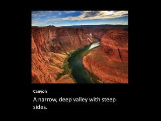
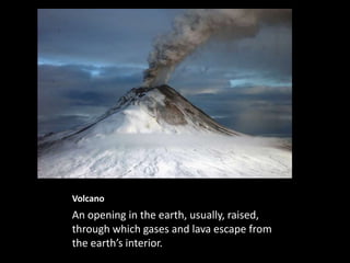
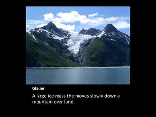
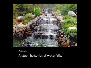
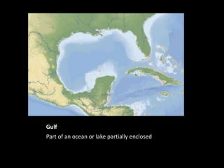
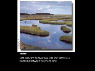
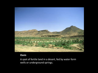
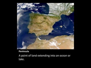
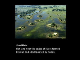
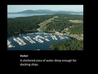
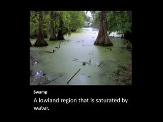
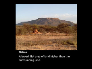
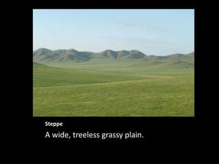
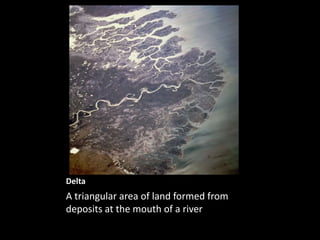
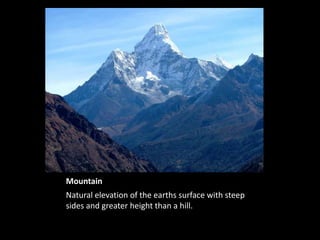
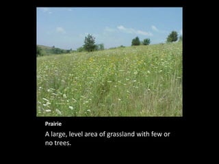
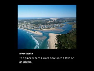
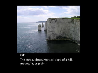
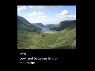
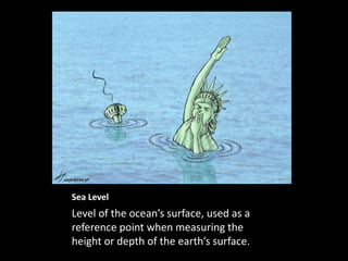
Geography Landforms
Canyon
A narrow, deep valley with steep
sides.
Volcano
An opening in the earth, usually, raised,
through which gases and lava escape from
the earth’s interior.
Glacier
A large ice mass the moves slowly down a
mountain over land.
Cataract
A step-like series of waterfalls.
Gulf
Part of an ocean or lake partially enclosed by land.
Marsh
Soft, wet, low-lying, grassy land that serves as a
transition between water and land.
Oasis
A spot of fertile land in a desert, fed by water form
wells or underground springs.
Strait
A narrow channel connecting two larger
bodies of water.
Peninsula
A point of land extending into an ocean or
lake.
Flood Plain
Flat land near the edges of rivers formed
by mud and silt deposited by floods.
Harbor
A sheltered area of water deep enough for
docking ships.
Swamp
A lowland region that is saturated by
water.
Island
A body of land surrounded by water.
Mesa
A wide, flat-topped mountain with steep sides,
larger than a butte.
Plateau
A broad, flat area of land higher than the
surrounding land.
Steppe
A wide, treeless grassy plain.
Delta
A triangular area of land formed from
deposits at the mouth of a river.
Butte
A raised, flat area of land with steep cliffs,
smaller than a mesa.
Mountain
Natural elevation of the earths surface with steep
sides and greater height than a hill.
Prairie
A large, level area of grassland with few or
no trees.
River Mouth
The place where a river flows into a lake or
an ocean.
Cliff
The steep, almost vertical edge of a hill,
mountain, or plain.
Valley
Low land between hills or
mountains.
Sea Level
Level of the ocean’s surface, used as a
reference point when measuring the
height or depth of the earth’s surface.

Geography landforms ppt