Download as PDF, PPTX
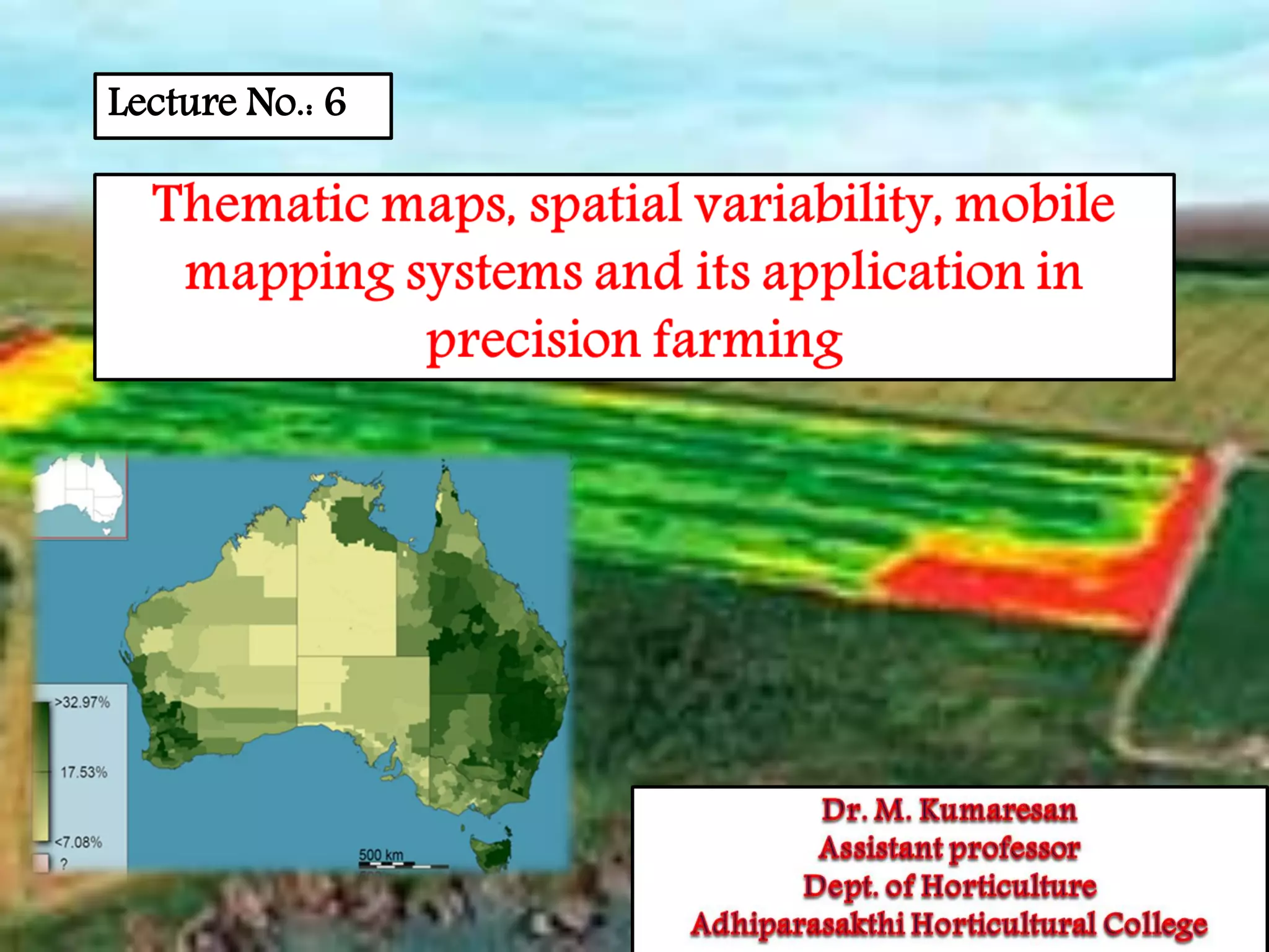
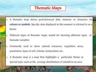
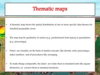
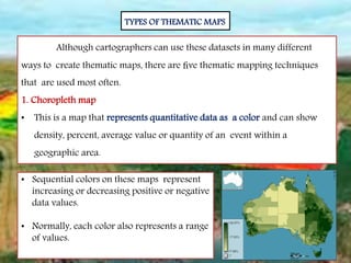
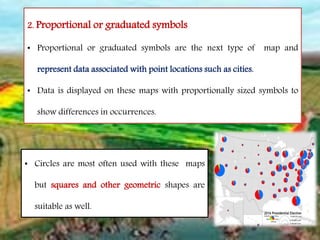
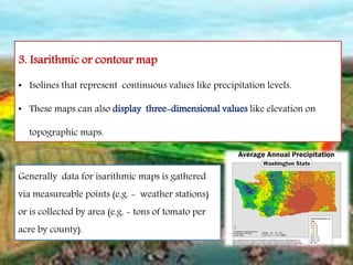
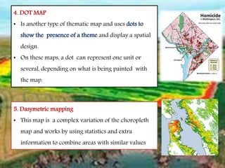
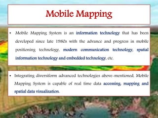
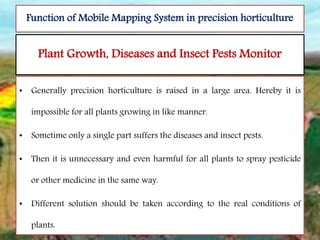
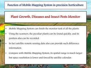
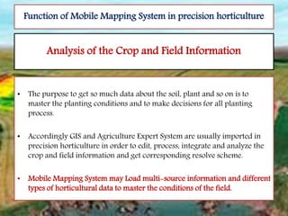
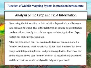
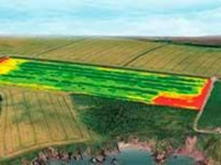

The document discusses thematic maps and mobile mapping systems. Thematic maps show georeferenced data using colors or symbols and are commonly used to display natural resources, vegetation, population, soil, climate, and temperature. There are five main types of thematic maps: choropleth, proportional symbols, isarithmic, dot, and dasymetric. Mobile mapping systems integrate technologies to collect spatial data in real-time and connect to GIS software. They can improve soil sampling accuracy, monitor plant growth and pests, and analyze crop and field information to aid precision horticulture.


