Downloaded 196 times
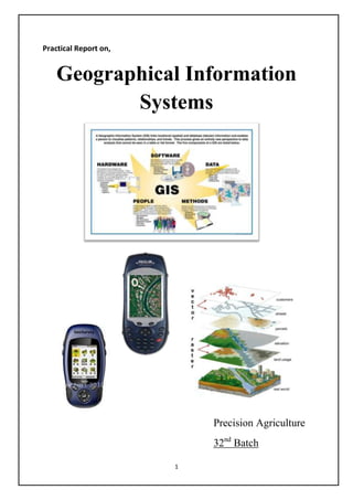
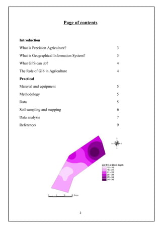
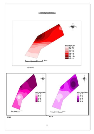
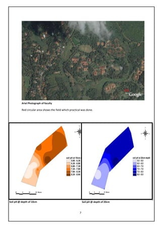
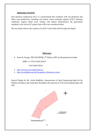

This document provides an overview of precision agriculture and the role of geographical information systems (GIS) in agriculture. It discusses how GIS allows storage, display, manipulation and analysis of geospatial data. A practical study is described where soil samples were taken from a field using GPS, analyzed for pH and EC, and entered into a GIS database to create maps showing spatial variation in these soil properties. The maps reveal differences in elevation, pH, and EC that can help inform crop selection and management practices tailored to different areas of the field.


