Download to read offline

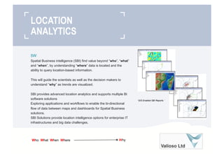

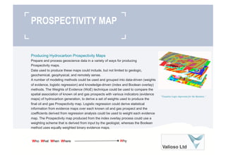
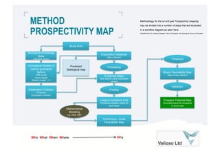


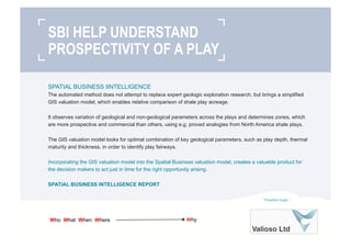

Spatial business intelligence (SBI) uses location data and analytics to understand "where" beyond traditional business intelligence's "who", "what", and "when". SBI visualizes trends to help scientists and decision-makers understand "why". It provides advanced location analytics and supports multiple BI solutions while enabling bidirectional data flow between maps and dashboards. SBI solutions offer location options for enterprise infrastructure and big data challenges. SBI allows visualizing relationships through techniques like clustering, density maps, and heat maps. Producing prospectivity maps involves processing geoscience data through weighted modeling methods to identify hydrocarbon prospective areas. SBI helps understand a play's prospectivity by identifying optimal parameter combinations in fairways and incorporating valuation models.


