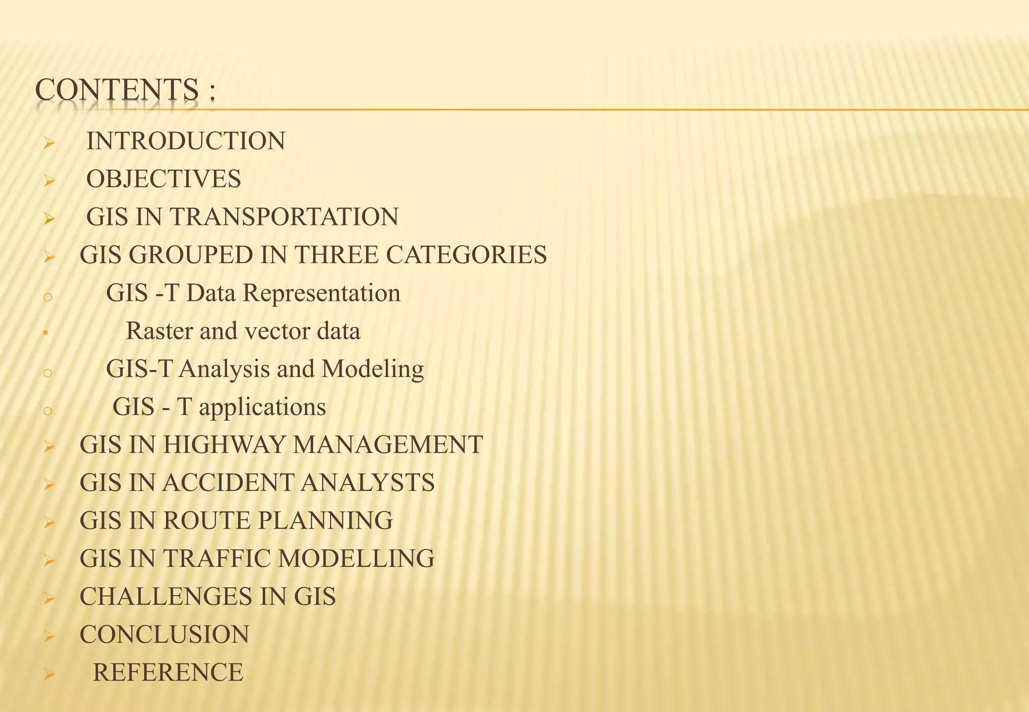
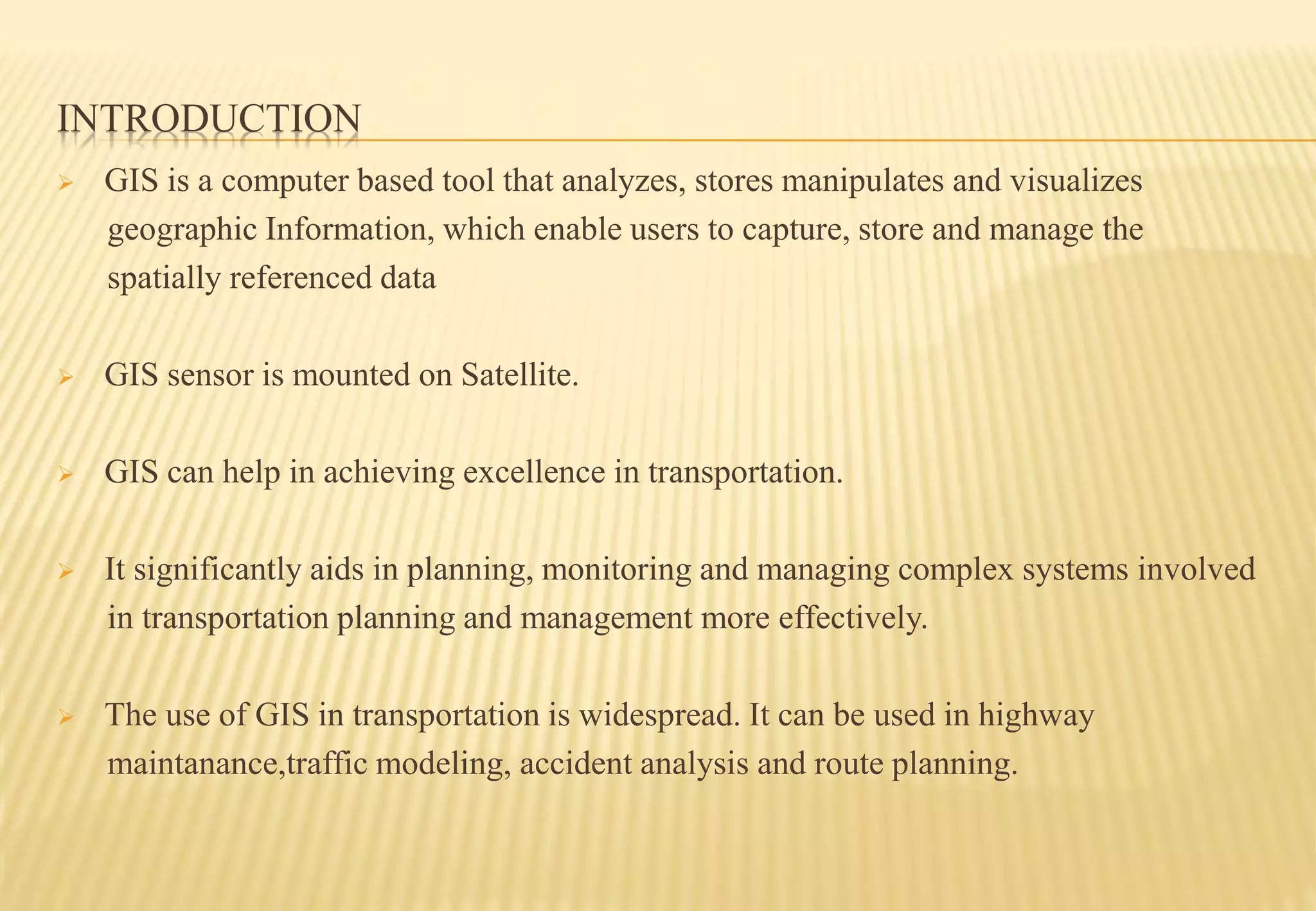
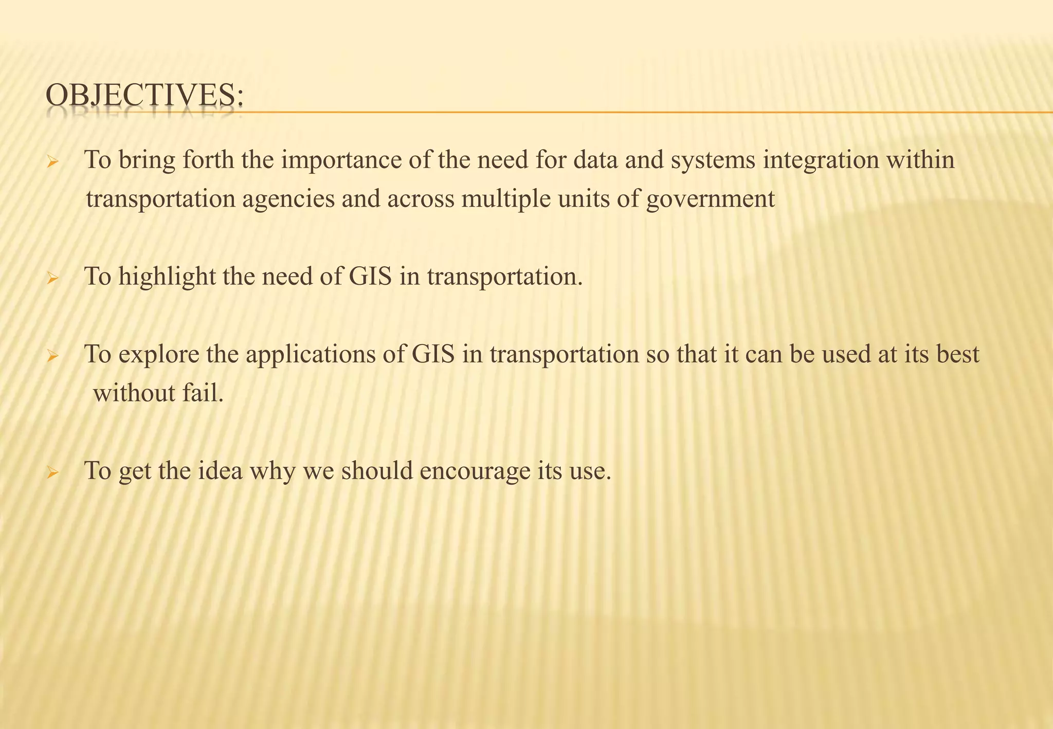
SlideShare a Scribd company logo
GEOGRAPHICAL INFORMATION SYSTEM IN
TRANSPORTATION PLANNING
GUIDED BY
DR. JAYA V
Professor department of civil engineering
College of Engineering Trivandrum
PRESENTED BY
ZAMEER NABI WANI
ROLL NO. 69
CLASS S7C1
CONTENTS :
 INTRODUCTION
 OBJECTIVES
 GIS IN TRANSPORTATION
 GIS GROUPED IN THREE CATEGORIES
o GIS -T Data Representation
• Raster and vector data
o GIS-T Analysis and Modeling
o GIS - T applications
 GIS IN HIGHWAY MANAGEMENT
 GIS IN ACCIDENT ANALYSTS
 GIS IN ROUTE PLANNING
 GIS IN TRAFFIC MODELLING
 CHALLENGES IN GIS
 CONCLUSION
 REFERENCE
INTRODUCTION
 GIS is a computer based tool that analyzes, stores manipulates and visualizes
geographic Information, which enable users to capture, store and manage the
spatially referenced data
 GIS sensor is mounted on Satellite.
 GIS can help in achieving excellence in transportation.
 It significantly aids in planning, monitoring and managing complex systems involved
in transportation planning and management more effectively.
 The use of GIS in transportation is widespread. It can be used in highway
maintanance,traffic modeling, accident analysis and route planning.
OBJECTIVES:
 To bring forth the importance of the need for data and systems integration within
transportation agencies and across multiple units of government
 To highlight the need of GIS in transportation.
 To explore the applications of GIS in transportation so that it can be used at its best
without fail.
 To get the idea why we should encourage its use.
GIS IN TRANSPORTATION:
 GIS-T can be defined as an interconnected hardware, software, data, people,
organizations and institutional arrangements.
 Organizations collect, store, analyze, and communicate this particular information
about the earth.
 Helps us in planning, monitoring, and managing complex systems efficiently.
 Helps in determining capacity enhancement, improving operations, and identifying
most strategic investments.
 It is being used in intelligent transportation systems.
GIS MODELS USED IN TRANSPORTATION:
 In general, three types of GIS models are used in transportation, which are:
 Field based data models: It treats geographic space as populated by real world features
that vary continuously over space, for example land elevation.
 Object based data models: This type of model treats geographic space as populated by
discrete and identifiable objects. Features are often represented by points, lines,
polygons etc. For example urbanised areas.
 Network models to represent topologically connected linear entities like roads, rail
lines, airlines that are fixed in the continuous reference surface.
TOPICS RELATED TO GIS IN TRANSPORTATION
 GIS - T Data Representations
 GIS - T Analysis and Modelling
 GIS - T Applications
GIS - T DATA REPRESENTATIONS
 GIS-T studies have employed both vector and raster data models to represent the
relevant geographic data.
 RASTER MODEL:
 Represents data in the form of cells or grid.
 Consists of pixels.
 Each pixels have each value.
 Represents sample data
 Represents continuous data
GIS - T DATA REPRESENTATIONS CONT…
 VECTOR MODEL:
 Uses sequential points to represent data
 Displays longitude and latitude
 Complete data structure
 Describes entire topography
GIS - T DATA REPRESENTATIONS CONT…
 Some of the transportation related things could be best represented by one type of GIS
data models than the other one.
 For example, network analysis represents a network as a set of nodes interconnected
with a set of links, this types of analysis could be better done by Vector data modeling.
 There are also some other types of transportation data that require extensions to the
general GIS data models. For example linear referencing data like highway mileposts
cannot be properly handled by 2- dimensional Cartesian coordinate system used in
most GIS data models.
GIS - T DATA REPRESENTATIONS CONT…
SOURCE:www.geography.hunter.com
GIS - T ANALYSIS AND MODELING
 Transportation has developed its own unique analysis methods and models. Some
examples are:
 Shortest path and routing algorithms.
 Spatial intersection models.
 Network flow problems.
 Travel demand models.
 Facility location problems.
GIS - T APPLICATIONS
 Infrastructure planning.
 Design and management.
 Transportation safety analysis.
 Travel demand analysis.
 Traffic monitoring and control.
 Public transit planning and operations and (ITS).
GIS IN HIGHWAY MANAGEMENT:
 Highway maintenance management is a critical issue, which can be addressed by using
GIS.
 By using GIS good visualisation is achieved through maps. This visualisation of real
time data can be further used by the transportation planners to identify potential issues
which can be addressed more efficiently and economically.
 Through detailed GIS maps, this information can be easily conveyed to decision
makers and the public
Source: Geospatialworld.net
GIS IN ACCIDENT ANALYSIS:
 Accidents are one of the most important national and international issues.
 Its consequences are important for the political, economical and social level in any
country.
 GIS allows us to understand travel behaviors and perform accidental analysis.
 It leads to the reduction in the number of accidents on roads.
 It allows the development of spatial statistics that rely on geographically-referenced
data.
 This statistics obtained via GIS can be useful in displaying a decrease in accidents over
a period of time.
GIS IN ACCIDENT ANALYSIS CONT…
Source: Google
GIS IN ROUTE PLANNING:
 Route planning is an important application within transportation.
 Hurdles on routes can lead to the unnecessary delays and hence inefficiency.
 By the use of GIS one can know in advance which route is the best to follow.
 As the travellers get to know about the best routes for their destinations, transportation
professionals get equipped with enhanced ability to manage their infrastructure.
 Moreover GIS- based systems quickly provide and analyze essential economic,
demographic and cost estimates for planning new routes.
 Route planning is also applied as a part of location planning, analyzing catchment
areas for different sites, calculating overall drive-times to and from the site,
maximizing potential customer in flow and ensuring best possible accessibility
GIS IN TRAFFIC MODELLING:
 The data obtained from GIS can also be transformed into functional road models for
large- scale traffic simulation.
 This data can model road networks around the world as polylines with attributes.
 Further this data can be extrapolated to automatically create geometrically correct and
topologically consistent 3D models of large-scale road networks to be readily used in
real- time traffic simulations and autonomous vehicle navigations.
 The resulting model representation could also provide important road features for the
traffic simulations, including smoothly connected ramps, highways, overpasses, legal
merge zones, and intersections.
CHALLENGES IN GIS- T:
 Legacy data management system.
 Data interoperability.
 Real- time GIS- T.
 Large data sets, need for pioneering system designs.
 Distributed computing.
CONCLUSION:
 Data, technology, and institutions represented the three primary considerations that had
to be addressed to promote the implementation of GIS-T.
 The transportation agencies own numerous datasets, these datasets have diverse origins
in individual divisions, lack common location reference schemes, and suffer from poor
data definition and making their integration difficult.
 Geographic referencing scheme was a highly viable means to organize these data, and
full benefits could be realized only if data is viewed as a corporate resource.
 In transportation geographic analysis is a key to make better decisions .
 Plays very important role for public and private transport too.
REFERENCES:
 Al-Ali, M (2016)
 Kim T.J., Choi K. (2011)
 Kresse W., Danko D.
 Effati M., Rajabi, M., Samadzadegan. F, and Shabani. S, 2014.
 Dr. Shih-Lung Shaw and Dr. Jean-Paul

More Related Content

What's hot

Geographic Information System for Egyptian Railway System(GIS)
Geographic Information System for Egyptian Railway System(GIS)Geographic Information System for Egyptian Railway System(GIS)
Geographic Information System for Egyptian Railway System(GIS)
Ismail El Gayar
 
Network Analysis in ArcGIS
Network Analysis in ArcGISNetwork Analysis in ArcGIS
Network Analysis in ArcGISJohn Reiser
 
GIS PPT
GIS PPTGIS PPT
Theoretical framework for gis
Theoretical framework for gisTheoretical framework for gis
Theoretical framework for gis
srinivas2036
 
Principles of GIS unit 1
Principles of GIS unit 1Principles of GIS unit 1
Principles of GIS unit 1
SanjanaKhemka1
 
Basic of gis concept and theories
Basic of gis concept and theoriesBasic of gis concept and theories
Basic of gis concept and theories
Mohsin Siddique
 
Lec_6_Intro to geo-referencing
Lec_6_Intro to geo-referencingLec_6_Intro to geo-referencing
Lec_6_Intro to geo-referencingAtiqa khan
 
introduction to GIS
introduction to GIS introduction to GIS
introduction to GIS
niazali15CRP92
 
Network analysis in gis , part 4 transportation networks
Network analysis in gis , part 4 transportation networksNetwork analysis in gis , part 4 transportation networks
Network analysis in gis , part 4 transportation networks
Department of Applied Geology
 
Types of GIS Data
Types of GIS DataTypes of GIS Data
Types of GIS Data
Preeti Prajapati
 
georeference
georeferencegeoreference
georeference
Thana Chirapiwat
 
Gps and its application
Gps and its applicationGps and its application
Gps and its application
shubham paliwal
 
Gis
GisGis
MODERN trends of GIS
MODERN trends of GISMODERN trends of GIS
MODERN trends of GIS
VAISHALI JAIN
 
Geo-spatial Analysis and Modelling
Geo-spatial Analysis and ModellingGeo-spatial Analysis and Modelling
Geo-spatial Analysis and Modelling
Malla Reddy University
 
Gis Geographical Information System Fundamentals
Gis Geographical Information System FundamentalsGis Geographical Information System Fundamentals
Gis Geographical Information System Fundamentals
Uroosa Samman
 
TYBSC IT PGIS Unit III Chapter II Data Entry and Preparation
TYBSC IT PGIS Unit III Chapter II Data Entry and PreparationTYBSC IT PGIS Unit III Chapter II Data Entry and Preparation
TYBSC IT PGIS Unit III Chapter II Data Entry and Preparation
Arti Parab Academics
 
Geographic information system
Geographic information systemGeographic information system
Geographic information system
OssamaElShanawany
 

What's hot (20)

Geographic Information System for Egyptian Railway System(GIS)
Geographic Information System for Egyptian Railway System(GIS)Geographic Information System for Egyptian Railway System(GIS)
Geographic Information System for Egyptian Railway System(GIS)
 
Basic Gis
Basic GisBasic Gis
Basic Gis
 
Network Analysis in ArcGIS
Network Analysis in ArcGISNetwork Analysis in ArcGIS
Network Analysis in ArcGIS
 
GIS PPT
GIS PPTGIS PPT
GIS PPT
 
Theoretical framework for gis
Theoretical framework for gisTheoretical framework for gis
Theoretical framework for gis
 
Principles of GIS unit 1
Principles of GIS unit 1Principles of GIS unit 1
Principles of GIS unit 1
 
Basic of gis concept and theories
Basic of gis concept and theoriesBasic of gis concept and theories
Basic of gis concept and theories
 
Lec_6_Intro to geo-referencing
Lec_6_Intro to geo-referencingLec_6_Intro to geo-referencing
Lec_6_Intro to geo-referencing
 
Themating maping
Themating mapingThemating maping
Themating maping
 
introduction to GIS
introduction to GIS introduction to GIS
introduction to GIS
 
Network analysis in gis , part 4 transportation networks
Network analysis in gis , part 4 transportation networksNetwork analysis in gis , part 4 transportation networks
Network analysis in gis , part 4 transportation networks
 
Types of GIS Data
Types of GIS DataTypes of GIS Data
Types of GIS Data
 
georeference
georeferencegeoreference
georeference
 
Gps and its application
Gps and its applicationGps and its application
Gps and its application
 
Gis
GisGis
Gis
 
MODERN trends of GIS
MODERN trends of GISMODERN trends of GIS
MODERN trends of GIS
 
Geo-spatial Analysis and Modelling
Geo-spatial Analysis and ModellingGeo-spatial Analysis and Modelling
Geo-spatial Analysis and Modelling
 
Gis Geographical Information System Fundamentals
Gis Geographical Information System FundamentalsGis Geographical Information System Fundamentals
Gis Geographical Information System Fundamentals
 
TYBSC IT PGIS Unit III Chapter II Data Entry and Preparation
TYBSC IT PGIS Unit III Chapter II Data Entry and PreparationTYBSC IT PGIS Unit III Chapter II Data Entry and Preparation
TYBSC IT PGIS Unit III Chapter II Data Entry and Preparation
 
Geographic information system
Geographic information systemGeographic information system
Geographic information system
 

Similar to Geographical information system in transportation planning

GIS-t
GIS-tGIS-t
GIS-t
9475618872
 
Density of route frequency for enforcement
Density of route frequency for enforcement Density of route frequency for enforcement
Density of route frequency for enforcement
Conference Papers
 
Application Of Gis In Transportation Engineering
Application Of Gis In Transportation EngineeringApplication Of Gis In Transportation Engineering
Application Of Gis In Transportation Engineering
Emily Smith
 
Ck32540542
Ck32540542Ck32540542
Ck32540542
IJERA Editor
 
Gis based urban transportation system
Gis based urban transportation systemGis based urban transportation system
Gis based urban transportation system
Dinesh Kumar Azad
 
What is GIS (PDF).pdf
What is GIS (PDF).pdfWhat is GIS (PDF).pdf
What is GIS (PDF).pdf
KartikBhatt43
 
Gis
GisGis
Gisapplicationincivilengineering 140227110022-phpapp02
Gisapplicationincivilengineering 140227110022-phpapp02Gisapplicationincivilengineering 140227110022-phpapp02
Gisapplicationincivilengineering 140227110022-phpapp02
Antriksh Vatsyayana
 
Gis application in civil engineering
Gis application in civil engineeringGis application in civil engineering
Gis application in civil engineering
Amal C Varghese
 
O33070076
O33070076O33070076
O33070076
IJERA Editor
 
GIS Application Used in Urban Planning In India
GIS Application Used in Urban Planning In IndiaGIS Application Used in Urban Planning In India
GIS Application Used in Urban Planning In India
IRJET Journal
 
TYBSC IT PGIS Unit I Chapter I- Introduction to Geographic Information Systems
TYBSC IT PGIS Unit I  Chapter I- Introduction to Geographic Information SystemsTYBSC IT PGIS Unit I  Chapter I- Introduction to Geographic Information Systems
TYBSC IT PGIS Unit I Chapter I- Introduction to Geographic Information Systems
Arti Parab Academics
 
IRJET- Bus Route Optimization in Jyothi Engineering College using ARC- GIS
IRJET- Bus Route Optimization in Jyothi Engineering College using ARC- GISIRJET- Bus Route Optimization in Jyothi Engineering College using ARC- GIS
IRJET- Bus Route Optimization in Jyothi Engineering College using ARC- GIS
IRJET Journal
 
76201909
7620190976201909
76201909
IJRAT
 
Intro of geographic info system
Intro of geographic info systemIntro of geographic info system
Intro of geographic info system
Janak Parmar
 

Similar to Geographical information system in transportation planning (20)

GIS-t
GIS-tGIS-t
GIS-t
 
Density of route frequency for enforcement
Density of route frequency for enforcement Density of route frequency for enforcement
Density of route frequency for enforcement
 
Application Of Gis In Transportation Engineering
Application Of Gis In Transportation EngineeringApplication Of Gis In Transportation Engineering
Application Of Gis In Transportation Engineering
 
Ck32540542
Ck32540542Ck32540542
Ck32540542
 
Ck32540542
Ck32540542Ck32540542
Ck32540542
 
Modon GIS final draft
Modon GIS final draftModon GIS final draft
Modon GIS final draft
 
Gis based urban transportation system
Gis based urban transportation systemGis based urban transportation system
Gis based urban transportation system
 
What is GIS (PDF).pdf
What is GIS (PDF).pdfWhat is GIS (PDF).pdf
What is GIS (PDF).pdf
 
Mrp Intrim
Mrp IntrimMrp Intrim
Mrp Intrim
 
Gis
GisGis
Gis
 
FINAL 31,12,10
FINAL 31,12,10FINAL 31,12,10
FINAL 31,12,10
 
Gisapplicationincivilengineering 140227110022-phpapp02
Gisapplicationincivilengineering 140227110022-phpapp02Gisapplicationincivilengineering 140227110022-phpapp02
Gisapplicationincivilengineering 140227110022-phpapp02
 
Gis application in civil engineering
Gis application in civil engineeringGis application in civil engineering
Gis application in civil engineering
 
GIS
GISGIS
GIS
 
O33070076
O33070076O33070076
O33070076
 
GIS Application Used in Urban Planning In India
GIS Application Used in Urban Planning In IndiaGIS Application Used in Urban Planning In India
GIS Application Used in Urban Planning In India
 
TYBSC IT PGIS Unit I Chapter I- Introduction to Geographic Information Systems
TYBSC IT PGIS Unit I  Chapter I- Introduction to Geographic Information SystemsTYBSC IT PGIS Unit I  Chapter I- Introduction to Geographic Information Systems
TYBSC IT PGIS Unit I Chapter I- Introduction to Geographic Information Systems
 
IRJET- Bus Route Optimization in Jyothi Engineering College using ARC- GIS
IRJET- Bus Route Optimization in Jyothi Engineering College using ARC- GISIRJET- Bus Route Optimization in Jyothi Engineering College using ARC- GIS
IRJET- Bus Route Optimization in Jyothi Engineering College using ARC- GIS
 
76201909
7620190976201909
76201909
 
Intro of geographic info system
Intro of geographic info systemIntro of geographic info system
Intro of geographic info system
 

Recently uploaded

DESIGN A COTTON SEED SEPARATION MACHINE.docx
DESIGN A COTTON SEED SEPARATION MACHINE.docxDESIGN A COTTON SEED SEPARATION MACHINE.docx
DESIGN A COTTON SEED SEPARATION MACHINE.docx
FluxPrime1
 
Top 10 Oil and Gas Projects in Saudi Arabia 2024.pdf
Top 10 Oil and Gas Projects in Saudi Arabia 2024.pdfTop 10 Oil and Gas Projects in Saudi Arabia 2024.pdf
Top 10 Oil and Gas Projects in Saudi Arabia 2024.pdf
Teleport Manpower Consultant
 
Gen AI Study Jams _ For the GDSC Leads in India.pdf
Gen AI Study Jams _ For the GDSC Leads in India.pdfGen AI Study Jams _ For the GDSC Leads in India.pdf
Gen AI Study Jams _ For the GDSC Leads in India.pdf
gdsczhcet
 
MCQ Soil mechanics questions (Soil shear strength).pdf
MCQ Soil mechanics questions (Soil shear strength).pdfMCQ Soil mechanics questions (Soil shear strength).pdf
MCQ Soil mechanics questions (Soil shear strength).pdf
Osamah Alsalih
 
Water Industry Process Automation and Control Monthly - May 2024.pdf
Water Industry Process Automation and Control Monthly - May 2024.pdfWater Industry Process Automation and Control Monthly - May 2024.pdf
Water Industry Process Automation and Control Monthly - May 2024.pdf
Water Industry Process Automation & Control
 
一比一原版(UofT毕业证)多伦多大学毕业证成绩单如何办理
一比一原版(UofT毕业证)多伦多大学毕业证成绩单如何办理一比一原版(UofT毕业证)多伦多大学毕业证成绩单如何办理
一比一原版(UofT毕业证)多伦多大学毕业证成绩单如何办理
ydteq
 
The role of big data in decision making.
The role of big data in decision making.The role of big data in decision making.
The role of big data in decision making.
ankuprajapati0525
 
J.Yang, ICLR 2024, MLILAB, KAIST AI.pdf
J.Yang,  ICLR 2024, MLILAB, KAIST AI.pdfJ.Yang,  ICLR 2024, MLILAB, KAIST AI.pdf
J.Yang, ICLR 2024, MLILAB, KAIST AI.pdf
MLILAB
 
AP LAB PPT.pdf ap lab ppt no title specific
AP LAB PPT.pdf ap lab ppt no title specificAP LAB PPT.pdf ap lab ppt no title specific
AP LAB PPT.pdf ap lab ppt no title specific
BrazilAccount1
 
Governing Equations for Fundamental Aerodynamics_Anderson2010.pdf
Governing Equations for Fundamental Aerodynamics_Anderson2010.pdfGoverning Equations for Fundamental Aerodynamics_Anderson2010.pdf
Governing Equations for Fundamental Aerodynamics_Anderson2010.pdf
WENKENLI1
 
block diagram and signal flow graph representation
block diagram and signal flow graph representationblock diagram and signal flow graph representation
block diagram and signal flow graph representation
Divya Somashekar
 
Planning Of Procurement o different goods and services
Planning Of Procurement o different goods and servicesPlanning Of Procurement o different goods and services
Planning Of Procurement o different goods and services
JoytuBarua2
 
RAT: Retrieval Augmented Thoughts Elicit Context-Aware Reasoning in Long-Hori...
RAT: Retrieval Augmented Thoughts Elicit Context-Aware Reasoning in Long-Hori...RAT: Retrieval Augmented Thoughts Elicit Context-Aware Reasoning in Long-Hori...
RAT: Retrieval Augmented Thoughts Elicit Context-Aware Reasoning in Long-Hori...
thanhdowork
 
Standard Reomte Control Interface - Neometrix
Standard Reomte Control Interface - NeometrixStandard Reomte Control Interface - Neometrix
Standard Reomte Control Interface - Neometrix
Neometrix_Engineering_Pvt_Ltd
 
CFD Simulation of By-pass Flow in a HRSG module by R&R Consult.pptx
CFD Simulation of By-pass Flow in a HRSG module by R&R Consult.pptxCFD Simulation of By-pass Flow in a HRSG module by R&R Consult.pptx
CFD Simulation of By-pass Flow in a HRSG module by R&R Consult.pptx
R&R Consult
 
在线办理(ANU毕业证书)澳洲国立大学毕业证录取通知书一模一样
在线办理(ANU毕业证书)澳洲国立大学毕业证录取通知书一模一样在线办理(ANU毕业证书)澳洲国立大学毕业证录取通知书一模一样
在线办理(ANU毕业证书)澳洲国立大学毕业证录取通知书一模一样
obonagu
 
一比一原版(IIT毕业证)伊利诺伊理工大学毕业证成绩单专业办理
一比一原版(IIT毕业证)伊利诺伊理工大学毕业证成绩单专业办理一比一原版(IIT毕业证)伊利诺伊理工大学毕业证成绩单专业办理
一比一原版(IIT毕业证)伊利诺伊理工大学毕业证成绩单专业办理
zwunae
 
ASME IX(9) 2007 Full Version .pdf
ASME IX(9)  2007 Full Version       .pdfASME IX(9)  2007 Full Version       .pdf
ASME IX(9) 2007 Full Version .pdf
AhmedHussein950959
 
Hierarchical Digital Twin of a Naval Power System
Hierarchical Digital Twin of a Naval Power SystemHierarchical Digital Twin of a Naval Power System
Hierarchical Digital Twin of a Naval Power System
Kerry Sado
 
Architectural Portfolio Sean Lockwood
Architectural Portfolio Sean LockwoodArchitectural Portfolio Sean Lockwood
Architectural Portfolio Sean Lockwood
seandesed
 

Recently uploaded (20)

DESIGN A COTTON SEED SEPARATION MACHINE.docx
DESIGN A COTTON SEED SEPARATION MACHINE.docxDESIGN A COTTON SEED SEPARATION MACHINE.docx
DESIGN A COTTON SEED SEPARATION MACHINE.docx
 
Top 10 Oil and Gas Projects in Saudi Arabia 2024.pdf
Top 10 Oil and Gas Projects in Saudi Arabia 2024.pdfTop 10 Oil and Gas Projects in Saudi Arabia 2024.pdf
Top 10 Oil and Gas Projects in Saudi Arabia 2024.pdf
 
Gen AI Study Jams _ For the GDSC Leads in India.pdf
Gen AI Study Jams _ For the GDSC Leads in India.pdfGen AI Study Jams _ For the GDSC Leads in India.pdf
Gen AI Study Jams _ For the GDSC Leads in India.pdf
 
MCQ Soil mechanics questions (Soil shear strength).pdf
MCQ Soil mechanics questions (Soil shear strength).pdfMCQ Soil mechanics questions (Soil shear strength).pdf
MCQ Soil mechanics questions (Soil shear strength).pdf
 
Water Industry Process Automation and Control Monthly - May 2024.pdf
Water Industry Process Automation and Control Monthly - May 2024.pdfWater Industry Process Automation and Control Monthly - May 2024.pdf
Water Industry Process Automation and Control Monthly - May 2024.pdf
 
一比一原版(UofT毕业证)多伦多大学毕业证成绩单如何办理
一比一原版(UofT毕业证)多伦多大学毕业证成绩单如何办理一比一原版(UofT毕业证)多伦多大学毕业证成绩单如何办理
一比一原版(UofT毕业证)多伦多大学毕业证成绩单如何办理
 
The role of big data in decision making.
The role of big data in decision making.The role of big data in decision making.
The role of big data in decision making.
 
J.Yang, ICLR 2024, MLILAB, KAIST AI.pdf
J.Yang,  ICLR 2024, MLILAB, KAIST AI.pdfJ.Yang,  ICLR 2024, MLILAB, KAIST AI.pdf
J.Yang, ICLR 2024, MLILAB, KAIST AI.pdf
 
AP LAB PPT.pdf ap lab ppt no title specific
AP LAB PPT.pdf ap lab ppt no title specificAP LAB PPT.pdf ap lab ppt no title specific
AP LAB PPT.pdf ap lab ppt no title specific
 
Governing Equations for Fundamental Aerodynamics_Anderson2010.pdf
Governing Equations for Fundamental Aerodynamics_Anderson2010.pdfGoverning Equations for Fundamental Aerodynamics_Anderson2010.pdf
Governing Equations for Fundamental Aerodynamics_Anderson2010.pdf
 
block diagram and signal flow graph representation
block diagram and signal flow graph representationblock diagram and signal flow graph representation
block diagram and signal flow graph representation
 
Planning Of Procurement o different goods and services
Planning Of Procurement o different goods and servicesPlanning Of Procurement o different goods and services
Planning Of Procurement o different goods and services
 
RAT: Retrieval Augmented Thoughts Elicit Context-Aware Reasoning in Long-Hori...
RAT: Retrieval Augmented Thoughts Elicit Context-Aware Reasoning in Long-Hori...RAT: Retrieval Augmented Thoughts Elicit Context-Aware Reasoning in Long-Hori...
RAT: Retrieval Augmented Thoughts Elicit Context-Aware Reasoning in Long-Hori...
 
Standard Reomte Control Interface - Neometrix
Standard Reomte Control Interface - NeometrixStandard Reomte Control Interface - Neometrix
Standard Reomte Control Interface - Neometrix
 
CFD Simulation of By-pass Flow in a HRSG module by R&R Consult.pptx
CFD Simulation of By-pass Flow in a HRSG module by R&R Consult.pptxCFD Simulation of By-pass Flow in a HRSG module by R&R Consult.pptx
CFD Simulation of By-pass Flow in a HRSG module by R&R Consult.pptx
 
在线办理(ANU毕业证书)澳洲国立大学毕业证录取通知书一模一样
在线办理(ANU毕业证书)澳洲国立大学毕业证录取通知书一模一样在线办理(ANU毕业证书)澳洲国立大学毕业证录取通知书一模一样
在线办理(ANU毕业证书)澳洲国立大学毕业证录取通知书一模一样
 
一比一原版(IIT毕业证)伊利诺伊理工大学毕业证成绩单专业办理
一比一原版(IIT毕业证)伊利诺伊理工大学毕业证成绩单专业办理一比一原版(IIT毕业证)伊利诺伊理工大学毕业证成绩单专业办理
一比一原版(IIT毕业证)伊利诺伊理工大学毕业证成绩单专业办理
 
ASME IX(9) 2007 Full Version .pdf
ASME IX(9)  2007 Full Version       .pdfASME IX(9)  2007 Full Version       .pdf
ASME IX(9) 2007 Full Version .pdf
 
Hierarchical Digital Twin of a Naval Power System
Hierarchical Digital Twin of a Naval Power SystemHierarchical Digital Twin of a Naval Power System
Hierarchical Digital Twin of a Naval Power System
 
Architectural Portfolio Sean Lockwood
Architectural Portfolio Sean LockwoodArchitectural Portfolio Sean Lockwood
Architectural Portfolio Sean Lockwood
 

Geographical information system in transportation planning

  • 1. GEOGRAPHICAL INFORMATION SYSTEM IN TRANSPORTATION PLANNING GUIDED BY DR. JAYA V Professor department of civil engineering College of Engineering Trivandrum PRESENTED BY ZAMEER NABI WANI ROLL NO. 69 CLASS S7C1
  • 2. CONTENTS :  INTRODUCTION  OBJECTIVES  GIS IN TRANSPORTATION  GIS GROUPED IN THREE CATEGORIES o GIS -T Data Representation • Raster and vector data o GIS-T Analysis and Modeling o GIS - T applications  GIS IN HIGHWAY MANAGEMENT  GIS IN ACCIDENT ANALYSTS  GIS IN ROUTE PLANNING  GIS IN TRAFFIC MODELLING  CHALLENGES IN GIS  CONCLUSION  REFERENCE
  • 3. INTRODUCTION  GIS is a computer based tool that analyzes, stores manipulates and visualizes geographic Information, which enable users to capture, store and manage the spatially referenced data  GIS sensor is mounted on Satellite.  GIS can help in achieving excellence in transportation.  It significantly aids in planning, monitoring and managing complex systems involved in transportation planning and management more effectively.  The use of GIS in transportation is widespread. It can be used in highway maintanance,traffic modeling, accident analysis and route planning.
  • 4. OBJECTIVES:  To bring forth the importance of the need for data and systems integration within transportation agencies and across multiple units of government  To highlight the need of GIS in transportation.  To explore the applications of GIS in transportation so that it can be used at its best without fail.  To get the idea why we should encourage its use.
  • 5. GIS IN TRANSPORTATION:  GIS-T can be defined as an interconnected hardware, software, data, people, organizations and institutional arrangements.  Organizations collect, store, analyze, and communicate this particular information about the earth.  Helps us in planning, monitoring, and managing complex systems efficiently.  Helps in determining capacity enhancement, improving operations, and identifying most strategic investments.  It is being used in intelligent transportation systems.
  • 6. GIS MODELS USED IN TRANSPORTATION:  In general, three types of GIS models are used in transportation, which are:  Field based data models: It treats geographic space as populated by real world features that vary continuously over space, for example land elevation.  Object based data models: This type of model treats geographic space as populated by discrete and identifiable objects. Features are often represented by points, lines, polygons etc. For example urbanised areas.  Network models to represent topologically connected linear entities like roads, rail lines, airlines that are fixed in the continuous reference surface.
  • 7. TOPICS RELATED TO GIS IN TRANSPORTATION  GIS - T Data Representations  GIS - T Analysis and Modelling  GIS - T Applications
  • 8. GIS - T DATA REPRESENTATIONS  GIS-T studies have employed both vector and raster data models to represent the relevant geographic data.  RASTER MODEL:  Represents data in the form of cells or grid.  Consists of pixels.  Each pixels have each value.  Represents sample data  Represents continuous data
  • 9. GIS - T DATA REPRESENTATIONS CONT…  VECTOR MODEL:  Uses sequential points to represent data  Displays longitude and latitude  Complete data structure  Describes entire topography
  • 10. GIS - T DATA REPRESENTATIONS CONT…  Some of the transportation related things could be best represented by one type of GIS data models than the other one.  For example, network analysis represents a network as a set of nodes interconnected with a set of links, this types of analysis could be better done by Vector data modeling.  There are also some other types of transportation data that require extensions to the general GIS data models. For example linear referencing data like highway mileposts cannot be properly handled by 2- dimensional Cartesian coordinate system used in most GIS data models.
  • 11. GIS - T DATA REPRESENTATIONS CONT… SOURCE:www.geography.hunter.com
  • 12. GIS - T ANALYSIS AND MODELING  Transportation has developed its own unique analysis methods and models. Some examples are:  Shortest path and routing algorithms.  Spatial intersection models.  Network flow problems.  Travel demand models.  Facility location problems.
  • 13. GIS - T APPLICATIONS  Infrastructure planning.  Design and management.  Transportation safety analysis.  Travel demand analysis.  Traffic monitoring and control.  Public transit planning and operations and (ITS).
  • 14. GIS IN HIGHWAY MANAGEMENT:  Highway maintenance management is a critical issue, which can be addressed by using GIS.  By using GIS good visualisation is achieved through maps. This visualisation of real time data can be further used by the transportation planners to identify potential issues which can be addressed more efficiently and economically.  Through detailed GIS maps, this information can be easily conveyed to decision makers and the public Source: Geospatialworld.net
  • 15. GIS IN ACCIDENT ANALYSIS:  Accidents are one of the most important national and international issues.  Its consequences are important for the political, economical and social level in any country.  GIS allows us to understand travel behaviors and perform accidental analysis.  It leads to the reduction in the number of accidents on roads.  It allows the development of spatial statistics that rely on geographically-referenced data.  This statistics obtained via GIS can be useful in displaying a decrease in accidents over a period of time.
  • 16. GIS IN ACCIDENT ANALYSIS CONT… Source: Google
  • 17. GIS IN ROUTE PLANNING:  Route planning is an important application within transportation.  Hurdles on routes can lead to the unnecessary delays and hence inefficiency.  By the use of GIS one can know in advance which route is the best to follow.  As the travellers get to know about the best routes for their destinations, transportation professionals get equipped with enhanced ability to manage their infrastructure.  Moreover GIS- based systems quickly provide and analyze essential economic, demographic and cost estimates for planning new routes.  Route planning is also applied as a part of location planning, analyzing catchment areas for different sites, calculating overall drive-times to and from the site, maximizing potential customer in flow and ensuring best possible accessibility
  • 18. GIS IN TRAFFIC MODELLING:  The data obtained from GIS can also be transformed into functional road models for large- scale traffic simulation.  This data can model road networks around the world as polylines with attributes.  Further this data can be extrapolated to automatically create geometrically correct and topologically consistent 3D models of large-scale road networks to be readily used in real- time traffic simulations and autonomous vehicle navigations.  The resulting model representation could also provide important road features for the traffic simulations, including smoothly connected ramps, highways, overpasses, legal merge zones, and intersections.
  • 19. CHALLENGES IN GIS- T:  Legacy data management system.  Data interoperability.  Real- time GIS- T.  Large data sets, need for pioneering system designs.  Distributed computing.
  • 20. CONCLUSION:  Data, technology, and institutions represented the three primary considerations that had to be addressed to promote the implementation of GIS-T.  The transportation agencies own numerous datasets, these datasets have diverse origins in individual divisions, lack common location reference schemes, and suffer from poor data definition and making their integration difficult.  Geographic referencing scheme was a highly viable means to organize these data, and full benefits could be realized only if data is viewed as a corporate resource.  In transportation geographic analysis is a key to make better decisions .  Plays very important role for public and private transport too.
  • 21. REFERENCES:  Al-Ali, M (2016)  Kim T.J., Choi K. (2011)  Kresse W., Danko D.  Effati M., Rajabi, M., Samadzadegan. F, and Shabani. S, 2014.  Dr. Shih-Lung Shaw and Dr. Jean-Paul