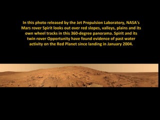
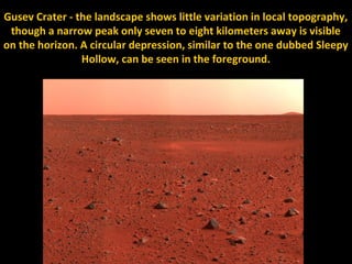
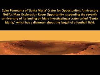
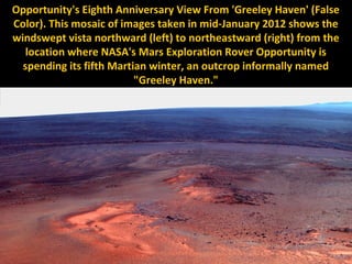
Downloaded 180 times


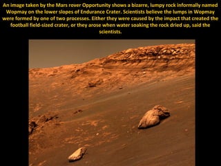
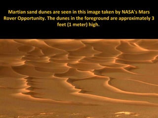
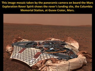
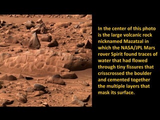


NASA's Mars Exploration Rover mission has involved multiple rovers exploring the surface of Mars since 2003, providing images and analyzing rocks and soil to search for evidence of past water activity. The mission's objectives were to characterize the geology and search for signs of water. Rover findings over the years have included bizarre rock formations thought to be formed by water or impact processes, sand dunes, panoramic views of the landscape, and microscopic images of pebbles showing signs of past water activity.


![Getting Started with Apache Spark: Big Data Made Simple [Free Meetup]](https://cdn.slidesharecdn.com/ss_thumbnails/apachesparkgettingstarted-260203175547-8361bcc3-thumbnail.jpg?width=640&height=640&fit=bounds)


