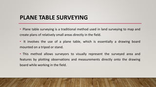
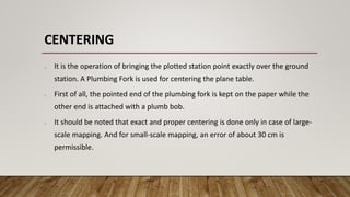
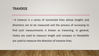
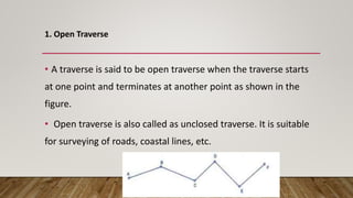
Traditional survey positional techniques are methods used in land surveying to establish the positions of points on the earth's surface, foundational for fields like construction and civil engineering. Key techniques include plane table surveying, triangulation, and total station, which utilize tools such as the plane table, alidade, and spirit level to create accurate maps and data collections. Plane table surveying allows surveyors to directly plot observations in the field, important for infrastructure design and land management.


![Module-I SURVEYING-I [BTCVC304]](https://cdn.slidesharecdn.com/ss_thumbnails/module-i-191020180028-thumbnail.jpg?width=640&height=640&fit=bounds)


