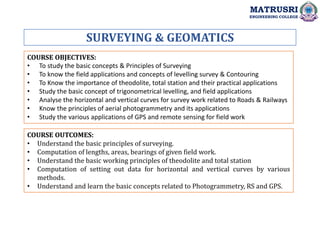
The document provides information about a Surveying and Geomatics course at Matrusri Engineering College. It includes the course objectives, which are to study basic surveying concepts and principles, field applications of leveling surveys and contouring, the use of theodolites and total stations, trigonometric leveling, and applications of GPS and remote sensing. The course outcomes are listed as understanding basic surveying principles, performing computations of lengths, areas and bearings from field work, understanding principles of instruments, and basic concepts of photogrammetry, remote sensing and GPS.