Download as PDF, PPTX
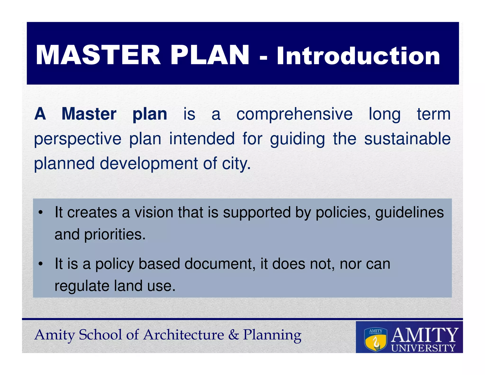
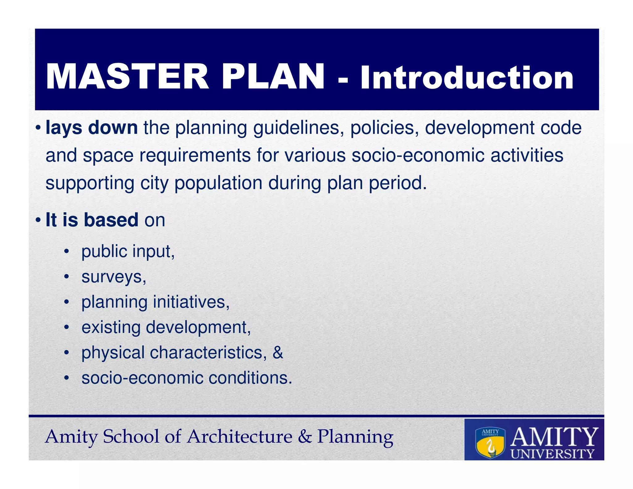

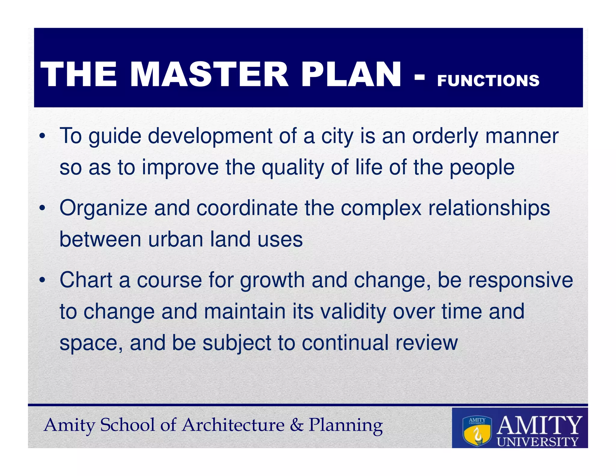


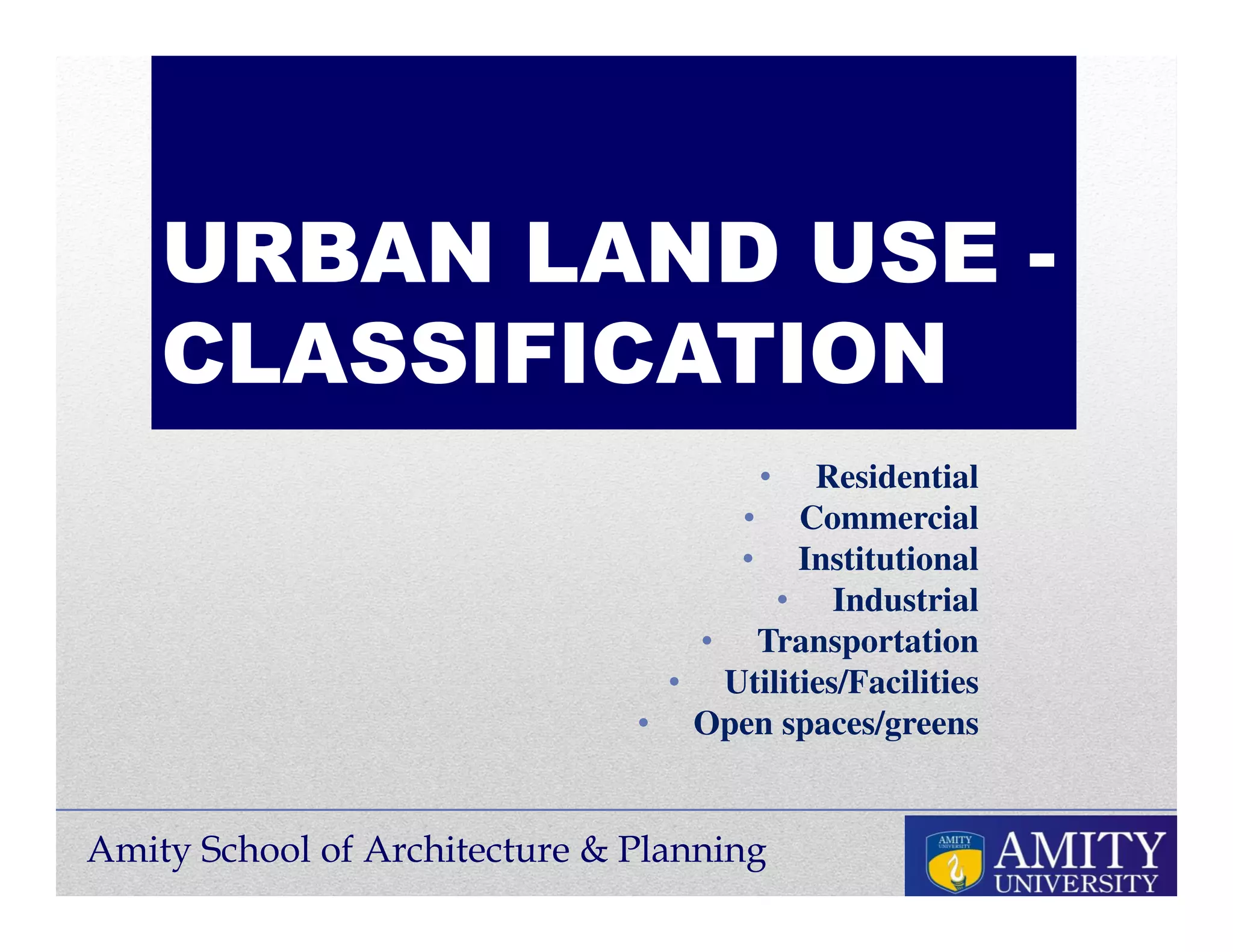
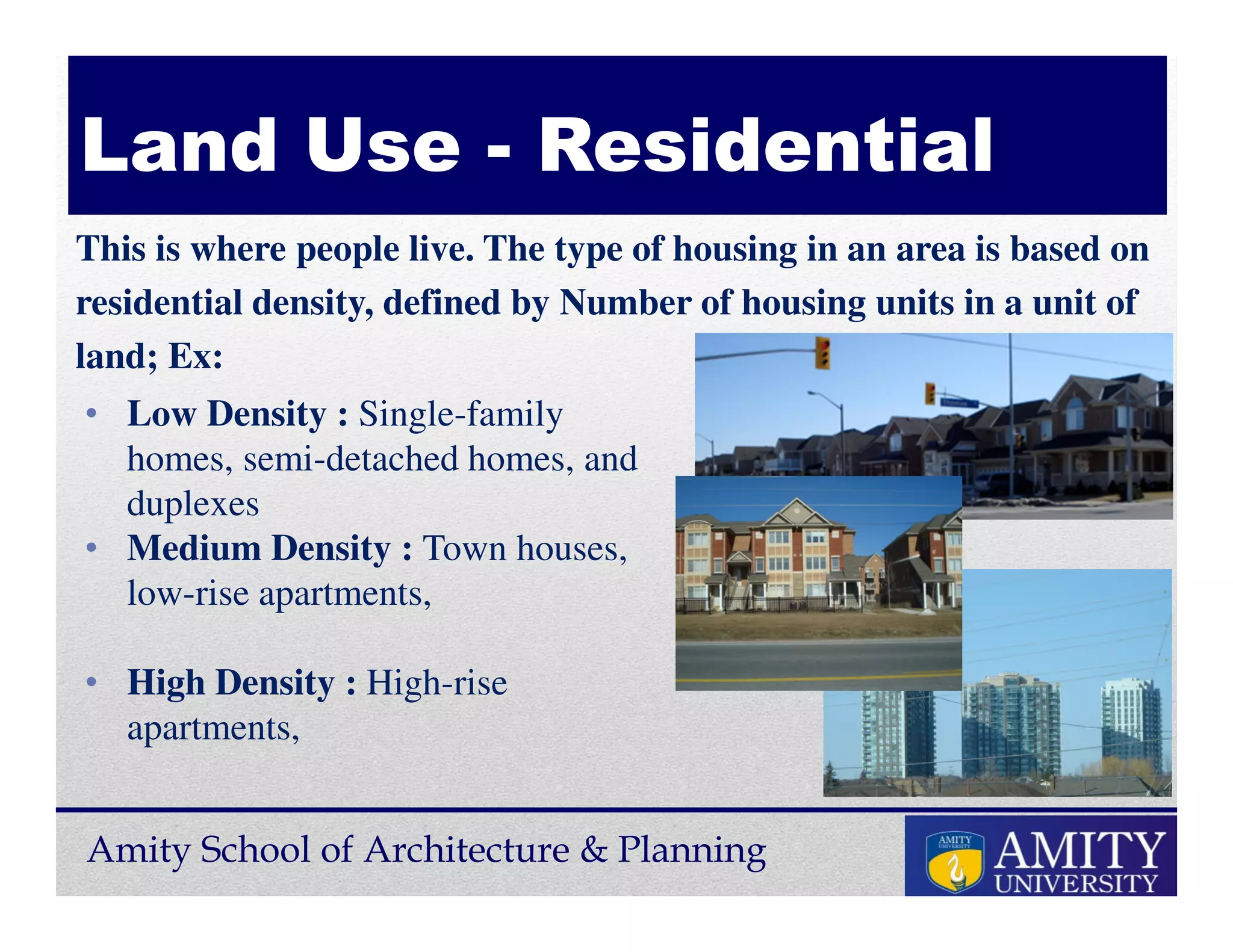
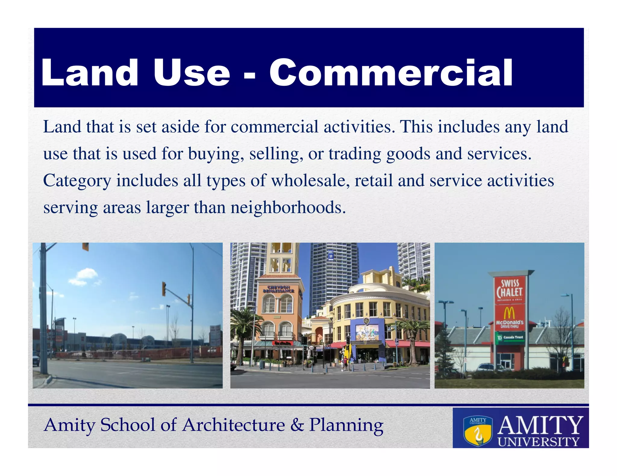


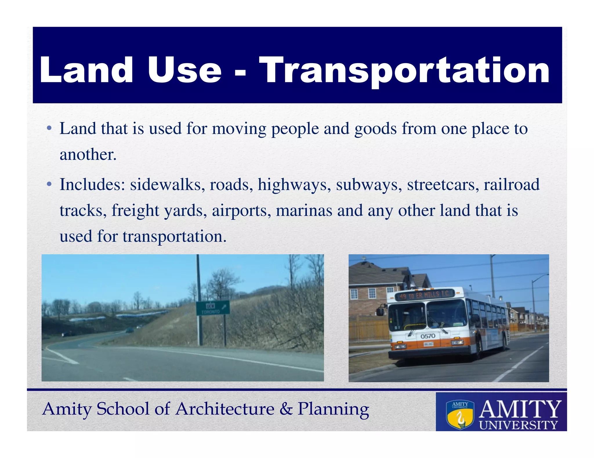
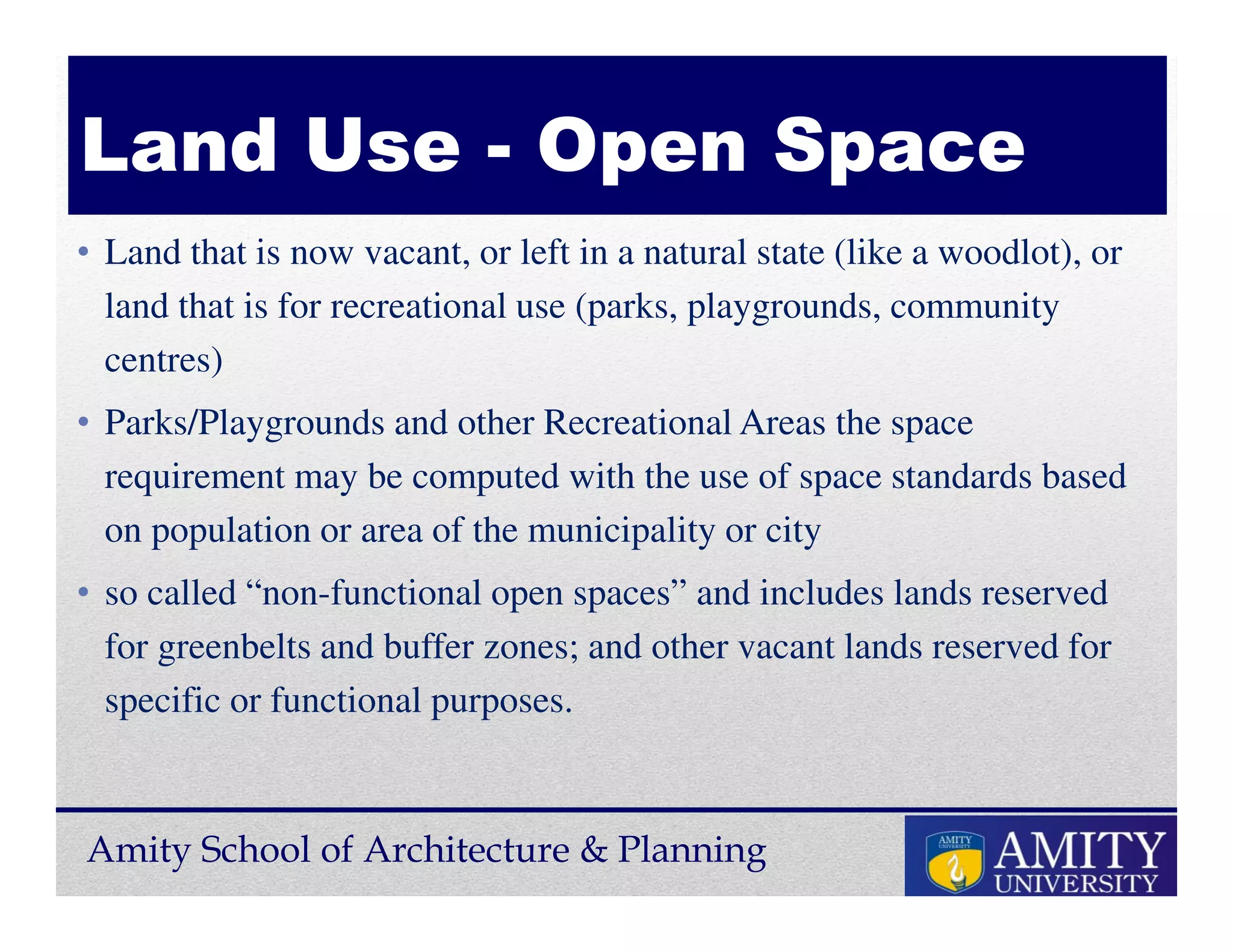


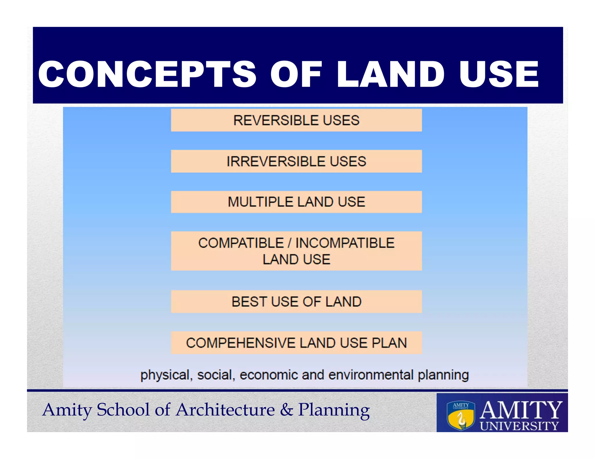


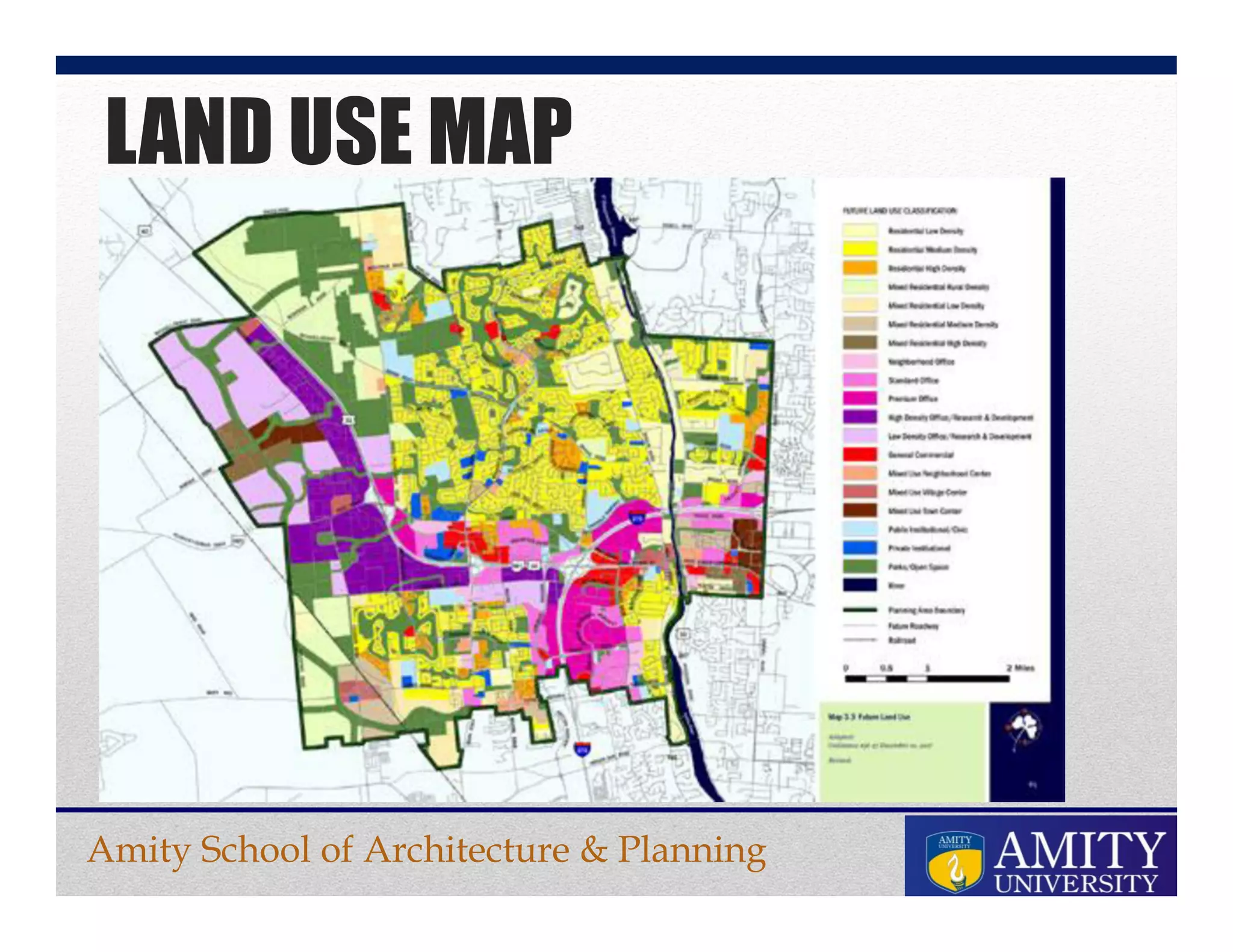
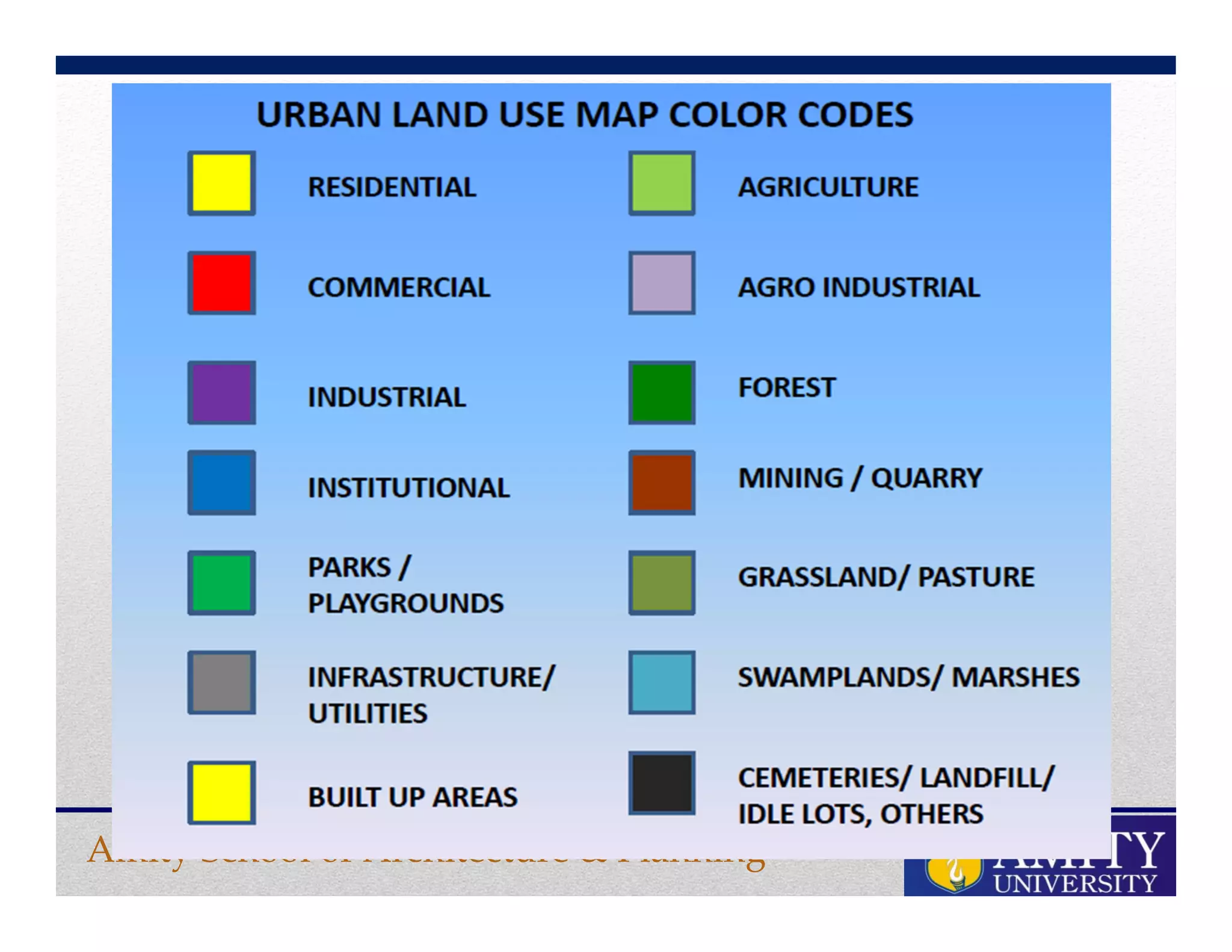

The document discusses master plans and land use planning. It defines a master plan as a long term comprehensive plan that guides sustainable city development through policies, guidelines and priorities. It creates a vision based on public input and existing conditions. The key functions of a master plan are to guide growth, organize land uses, and plan infrastructure. The document also defines land use as the human utilization of land including management and allocation. Major land uses discussed are residential, commercial, institutional, industrial, transportation, utilities and open spaces. Land use planning involves classifying and mapping land uses to efficiently use land and minimize conflicts between uses. Land use maps graphically represent land use distributions and relationships.


![[LECTURE 1] introduction to design and planning](https://cdn.slidesharecdn.com/ss_thumbnails/lecture1introduction-250325070206-d2d6d69b-thumbnail.jpg?width=640&height=640&fit=bounds)