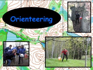
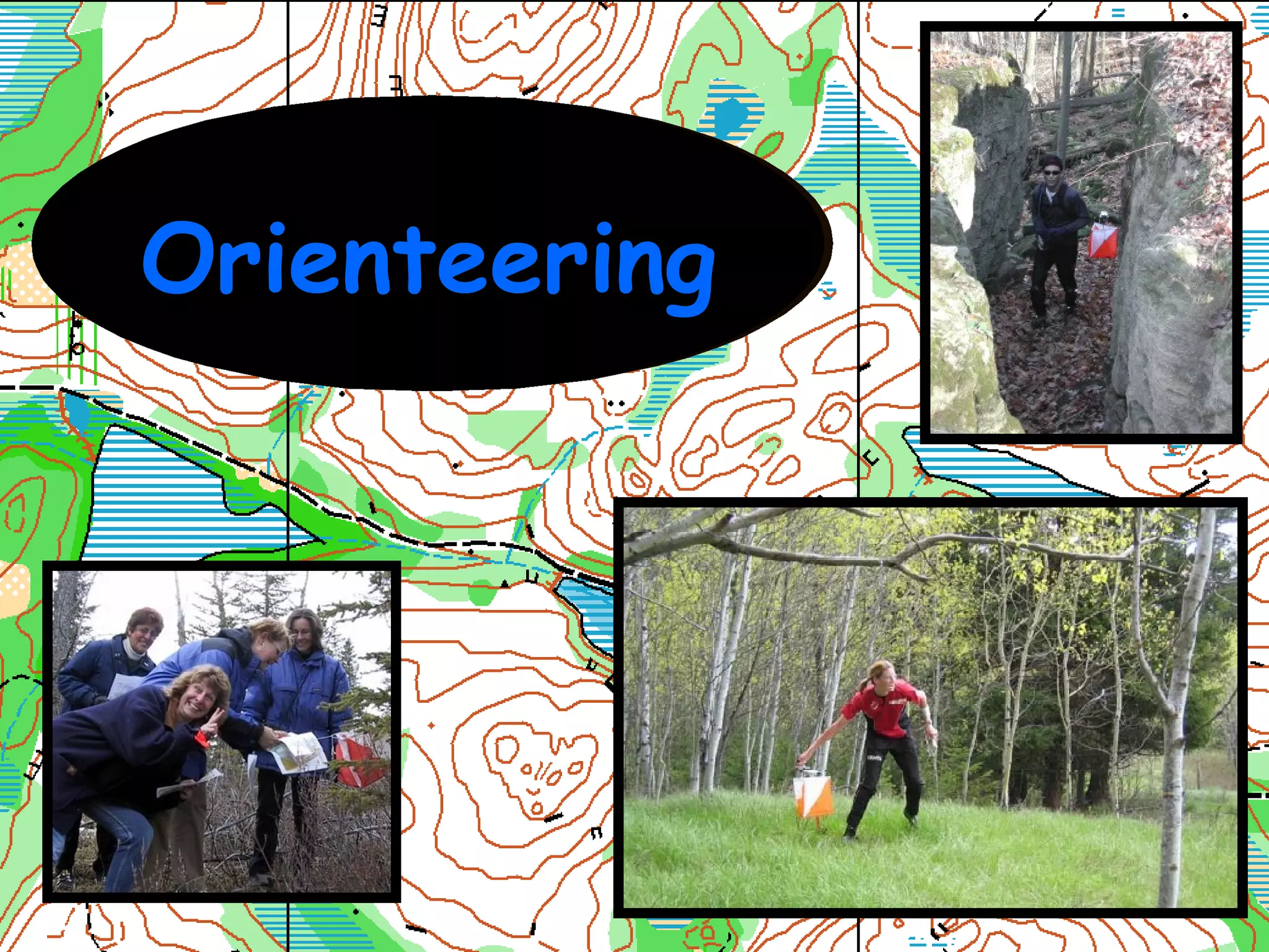
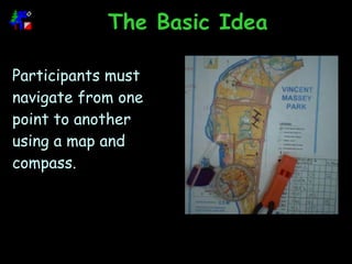
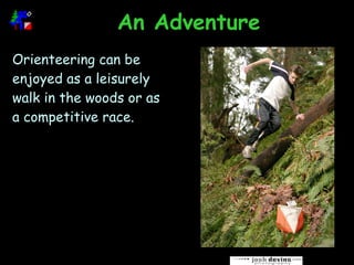
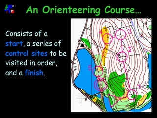
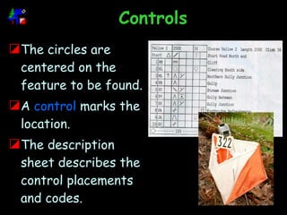
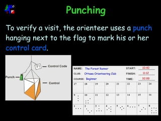
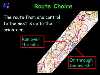
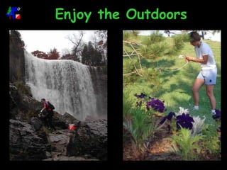
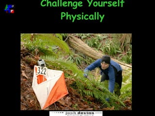
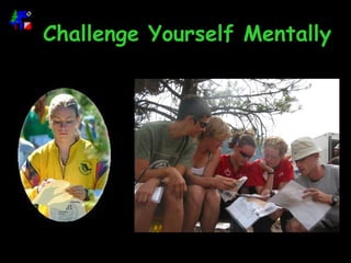
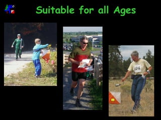
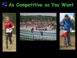
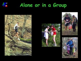
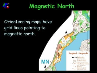
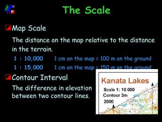
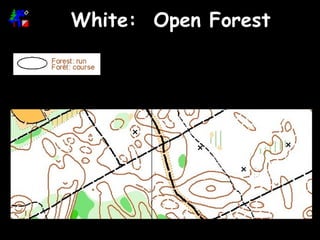
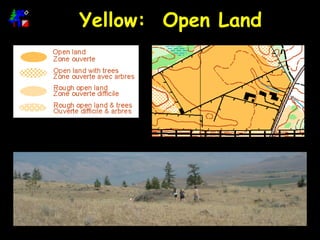
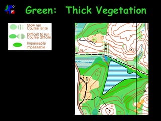
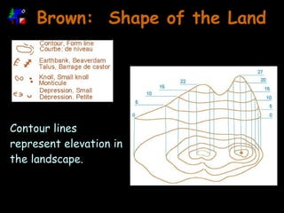
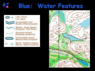
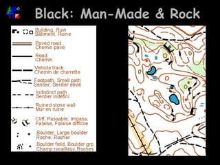
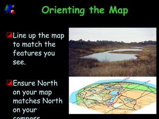
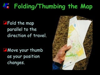
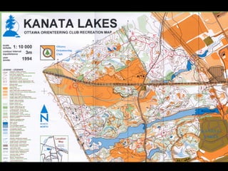
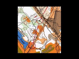
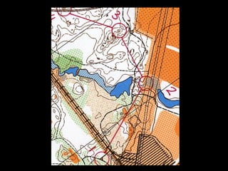
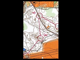
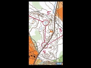
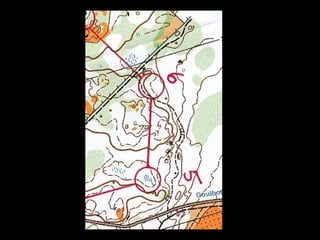
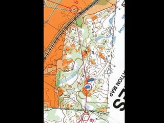
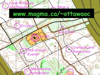
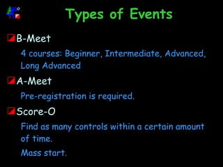
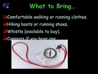
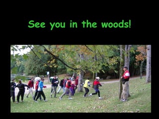
Orienteering
Overview What is Orienteering? Why Orienteer? The Map Basic Orienteering Skills Course Walk Through Ottawa Orienteering Club
What is Orienteering?
The Basic Idea Participants  must navigate from one point to another using a map and compass.
An Adventure Orienteering can be enjoyed as a leisurely walk in the woods or as a competitive race.
An Orienteering Course… Consists of a  start , a series of  control   sites  to be visited in order, and a  finish .
Controls The circles are centered on the feature to be found. A  control  marks the location.  The description sheet describes the control placements and codes.
Punching To verify a visit, the orienteer uses a  punch  hanging next to the flag to mark his or her  control card .
Route Choice The route from one control to the next is up to the orienteer. Run over the hills… Or through the marsh !
Why Orienteer?
Enjoy the Outdoors
Challenge Yourself Physically
Challenge Yourself Mentally
Gain Navigational Skills
Suitable for all Ages
As Competitive as You Want
Alone or in a Group
The Map
Magnetic North Orienteering maps have grid lines pointing to magnetic north.
The Scale Map Scale The distance on the map relative to the distance in the terrain. 1 : 10,000 1 cm on the map = 100 m on the ground 1 : 15,000 1 cm on the map = 150 m on the ground Contour Interval The difference in elevation between two contour lines.
White:  Open Forest
Yellow:  Open Land
Green:  Thick Vegetation
Brown:  Shape of the Land Contour lines represent elevation in the landscape.
Blue:  Water Features
Black: Man-Made & Rock
Basic Orienteering Skills
Orienting the Map Line up the map to match the features you see. Ensure North on your map matches North on your compass.
Folding/Thumbing the Map Fold the map parallel to the direction of travel. Move your thumb as your position changes.
Basic Map Reading Always keep the map oriented. Always stay in contact with the map. Constantly take note of features on the map, and make sure you can identify them in the landscape around you, and vice-versa.  Navigate along linear features such as trails, streams, fences,  and vegetation boundaries.
Relocating Stop. Orient the map with the compass.  Try to match the features on the map to the terrain around you. Try to determine where you could have gone since your last known location. Return to the last place of known location or bail out to an obvious linear feature.
Course Walk Through


Ottawa Orienteering Club
www.magma.ca/~ottawaoc
Types of Events B-Meet 4 courses: Beginner, Intermediate, Advanced, Long Advanced A-Meet Pre-registration is required. Score-O Find as many controls within a certain amount of time. Mass start.
What to Bring… Comfortable walking or running clothes. Hiking boots or running shoes. Whistle (available to buy). Compass if you have one.
See you in the woods!

Intro to Orienteering