Download to read offline


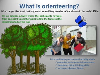
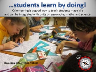
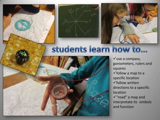
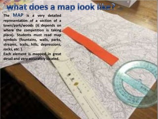
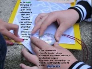
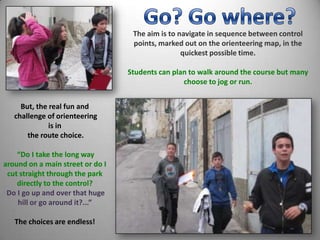

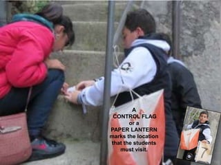
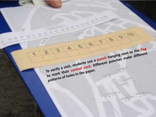
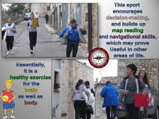
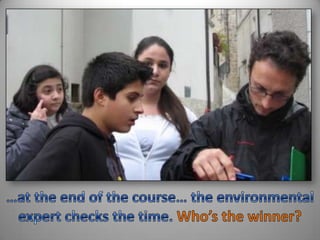


Orienteering is an outdoor activity where participants navigate between points using a detailed map. It originated as a military exercise in Scandinavia in the early 1900s and has become a competitive sport. It promotes environmental awareness, develops critical thinking skills, and increases physical fitness. In orienteering, students use compasses, rulers, and maps to navigate to specific locations marked by control flags or paper lanterns in the quickest time while making strategic route choices. The goal is to complete the course by visiting points in the correct sequence.


