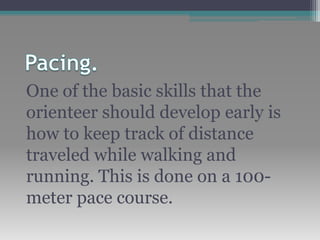
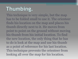
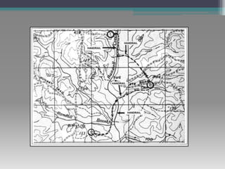
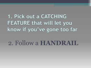
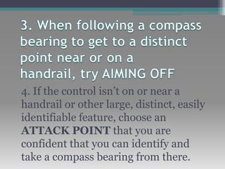
Orienteering
Techniques
One of the basic skills that the
orienteer should develop early is
how to keep track of distance
traveled while walking and
running. This is done on a 100-
meter pace course.
This technique is very simple, but the map
has to be folded small to use it. The orienteer
finds his location on the map and places his
thumb directly next to it. He moves from
point to point on the ground without moving
his thumb from his initial location. To find
the new location, the only thing that he has
to do is look at the map and use his thumb
as a point of reference for his last location.
This technique prevents the orienteer from
looking all over the map for his location.
This technique enables the
orienteer to move rapidly on the
ground by using existing linear
features (such as
trails, fences, roads, and streams)
that are plotted along his route.
They can also be used as limits or
boundaries between control points.
These are permanent known
landmarks that are easily
identified on the ground. They can
be used as points of reference to
find control points located in the
woods. Some examples of attack
points are stream
junctions, bridges, and road
intersections
2. Follow a HANDRAIL
4. If the control isn’t on or near a
handrail or other large, distinct, easily
identifiable feature, choose an
ATTACK POINT that you are
confident that you can identify and
take a compass bearing from there.
Orienteering techniques

Orienteering techniques

  • 1.
  • 2.
    One of thebasic skills that the orienteer should develop early is how to keep track of distance traveled while walking and running. This is done on a 100- meter pace course.
  • 3.
    This technique isvery simple, but the map has to be folded small to use it. The orienteer finds his location on the map and places his thumb directly next to it. He moves from point to point on the ground without moving his thumb from his initial location. To find the new location, the only thing that he has to do is look at the map and use his thumb as a point of reference for his last location. This technique prevents the orienteer from looking all over the map for his location.
  • 4.
    This technique enablesthe orienteer to move rapidly on the ground by using existing linear features (such as trails, fences, roads, and streams) that are plotted along his route. They can also be used as limits or boundaries between control points.
  • 6.
    These are permanentknown landmarks that are easily identified on the ground. They can be used as points of reference to find control points located in the woods. Some examples of attack points are stream junctions, bridges, and road intersections
  • 8.
    2. Follow aHANDRAIL
  • 9.
    4. If thecontrol isn’t on or near a handrail or other large, distinct, easily identifiable feature, choose an ATTACK POINT that you are confident that you can identify and take a compass bearing from there.