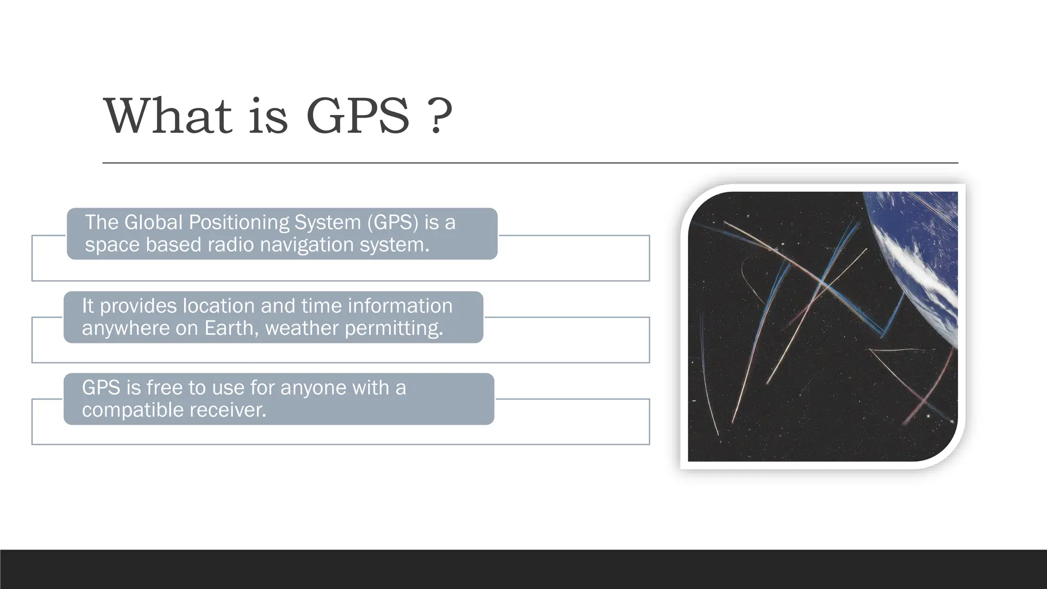
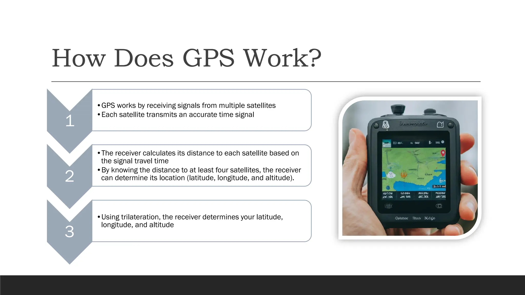
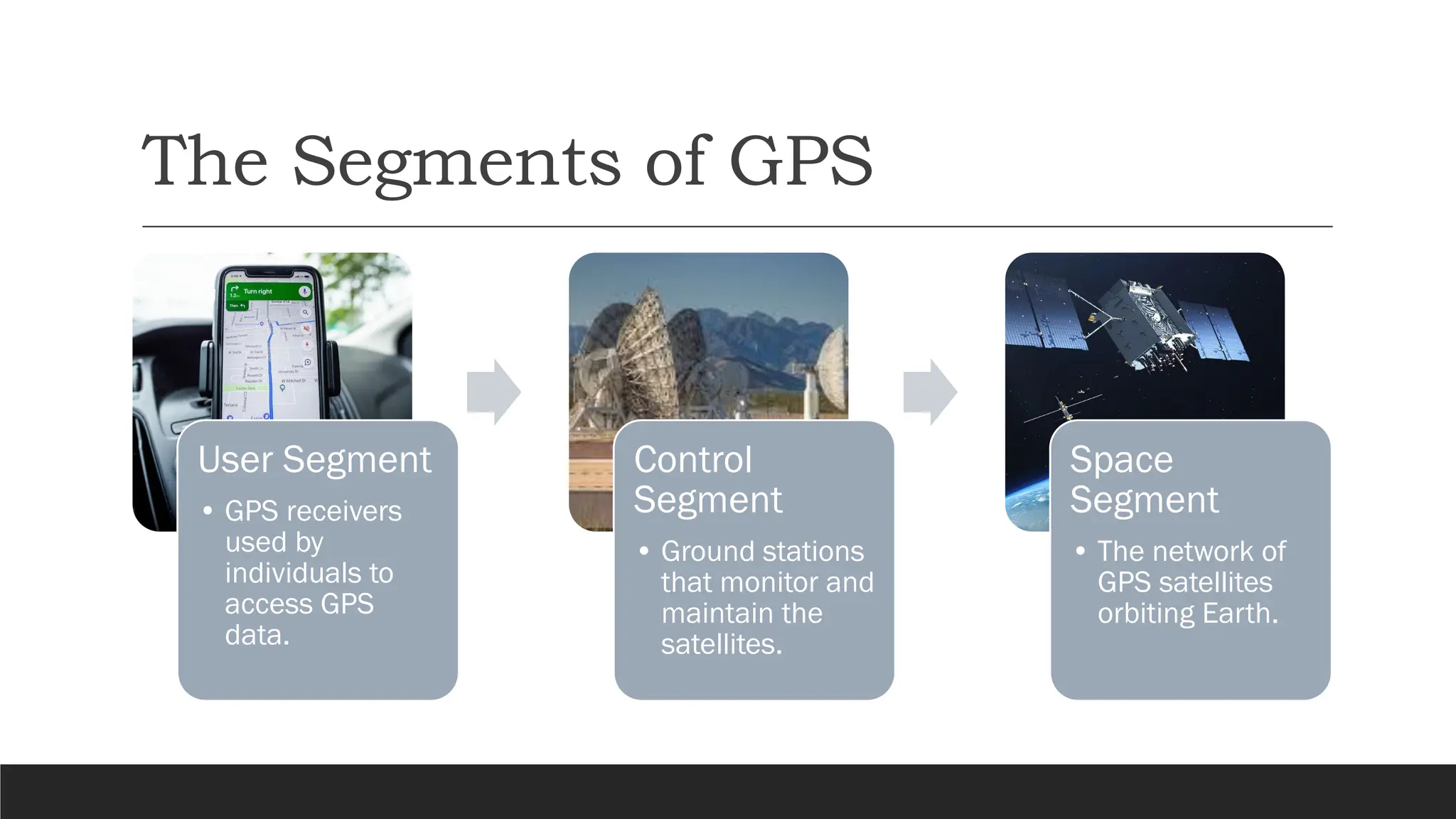
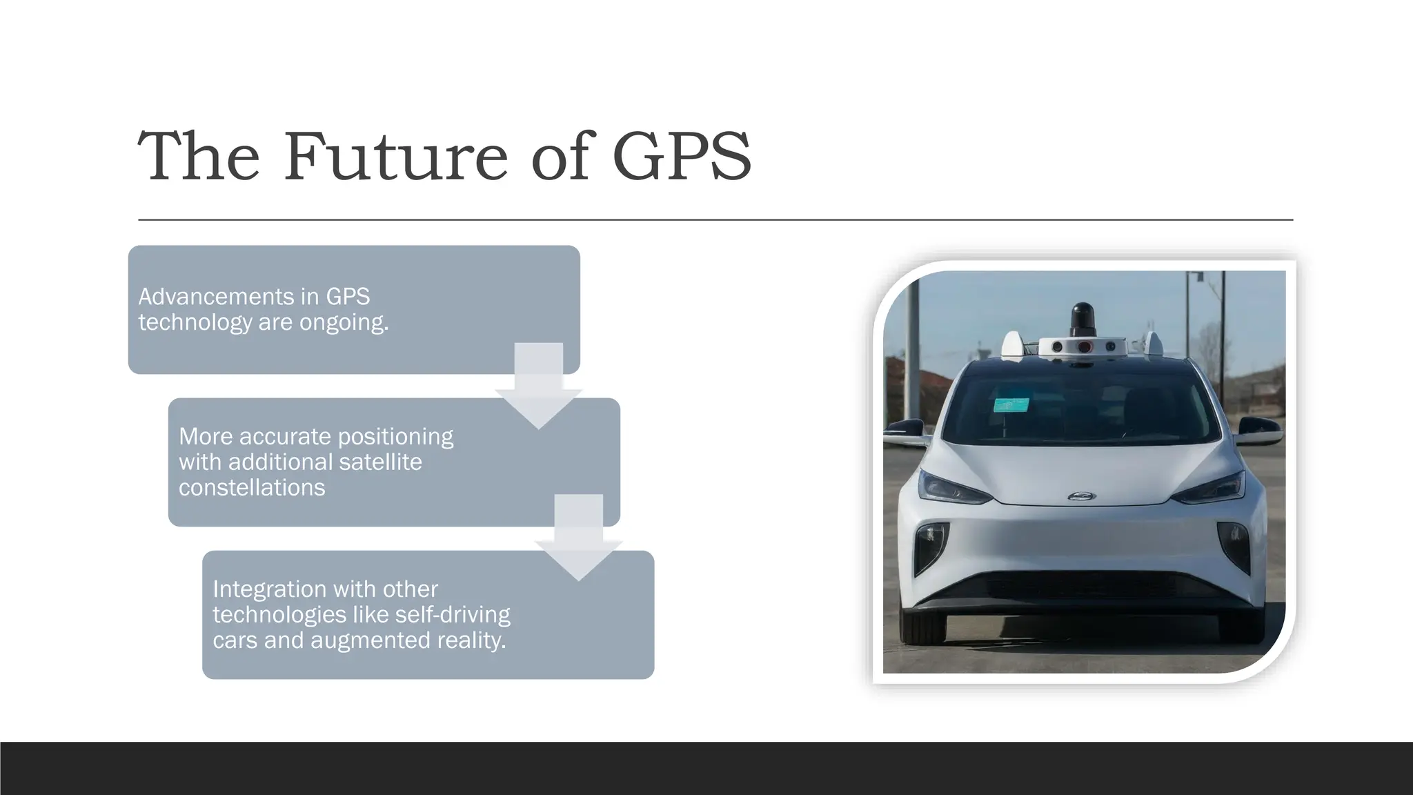
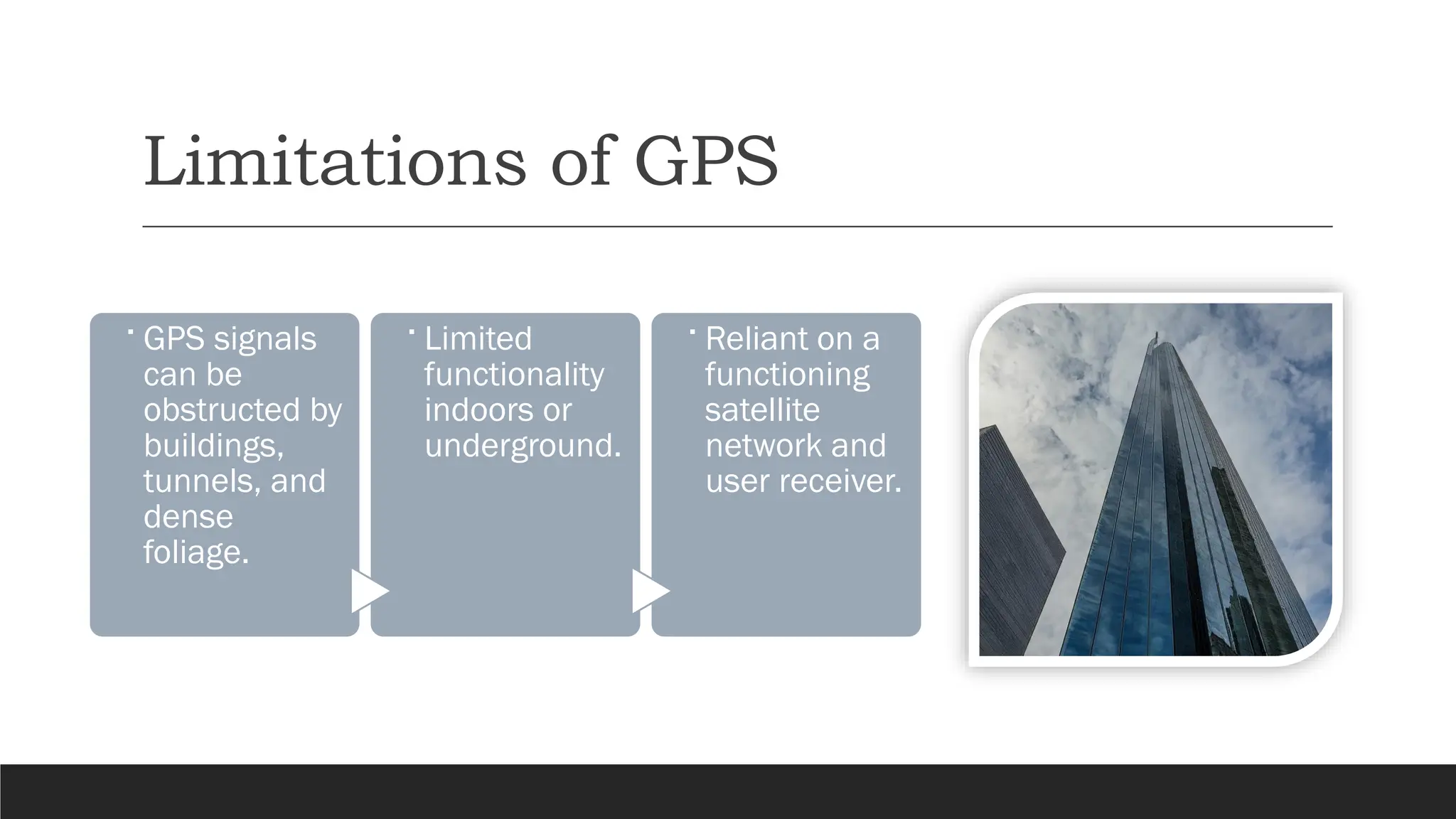
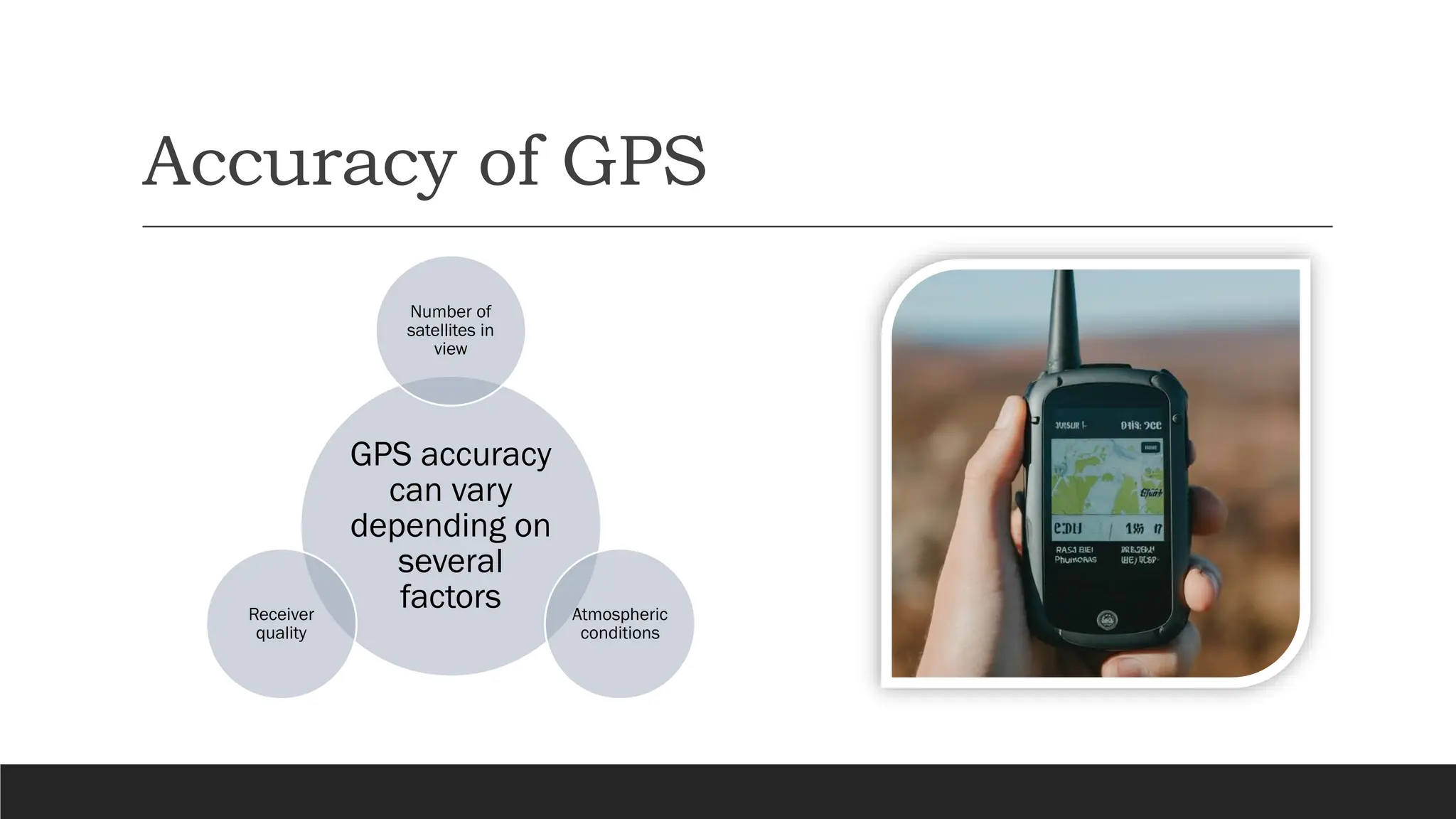
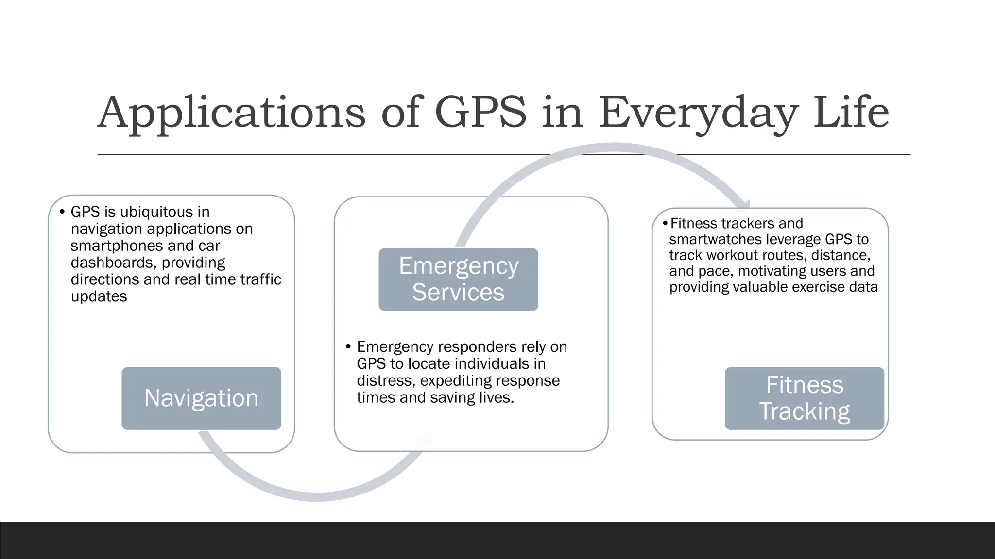
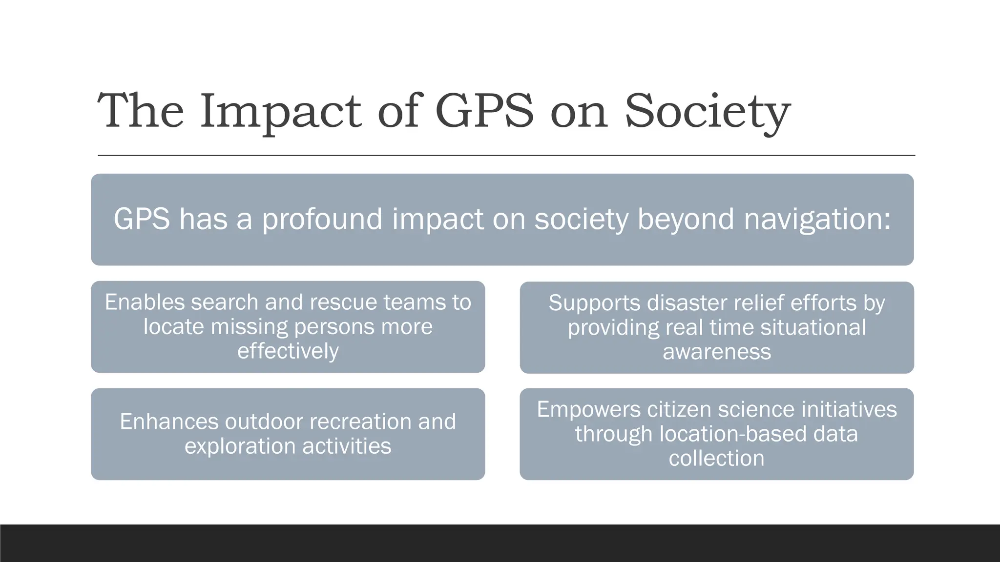
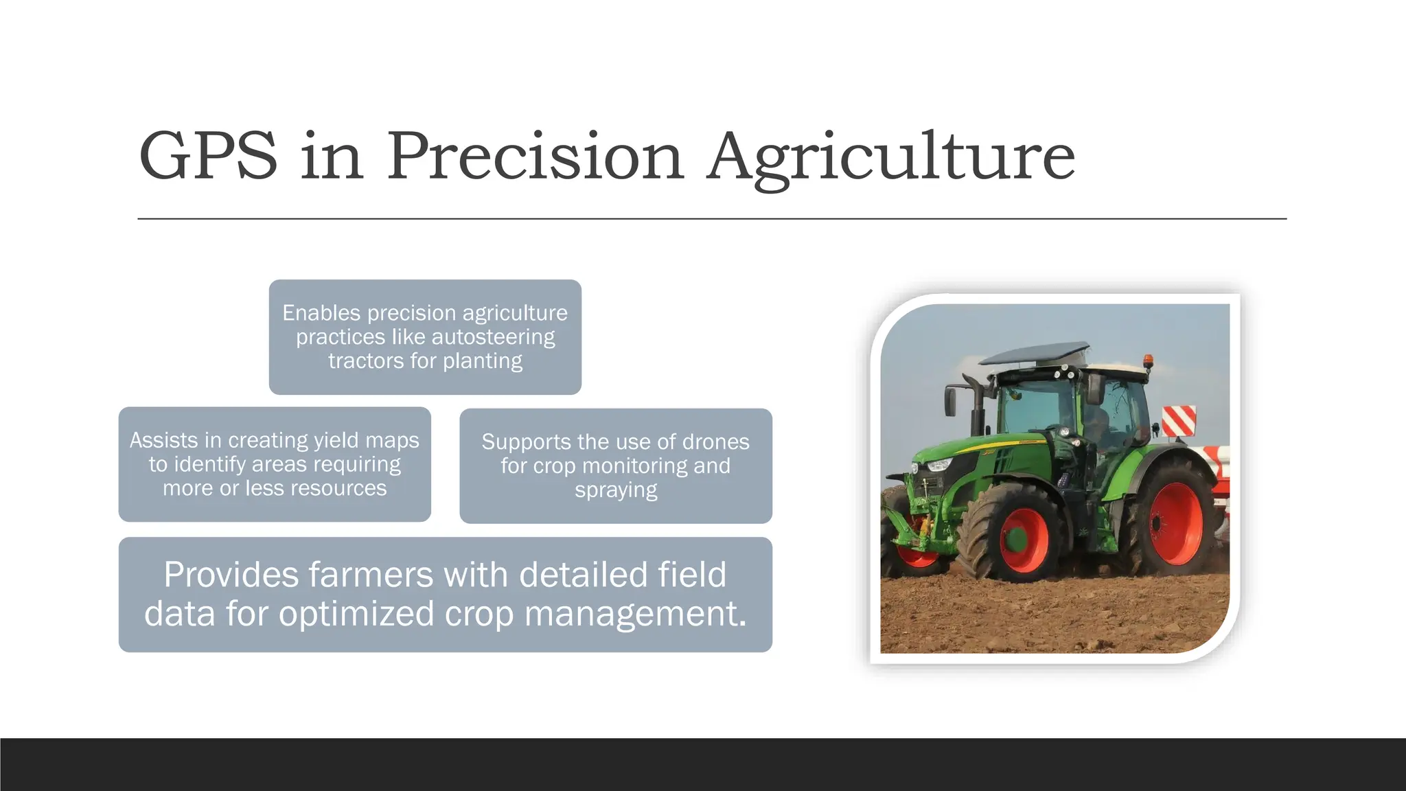
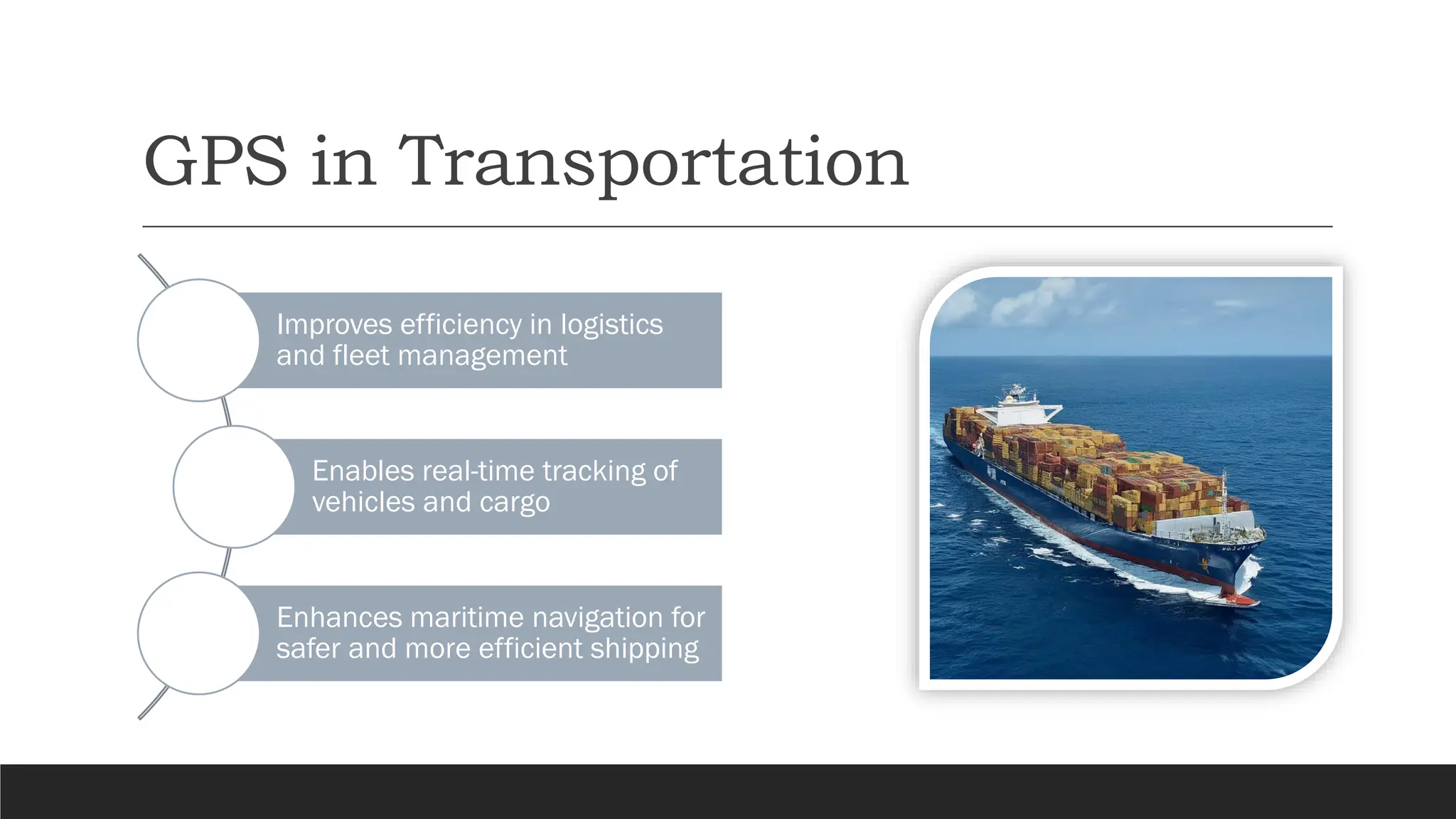
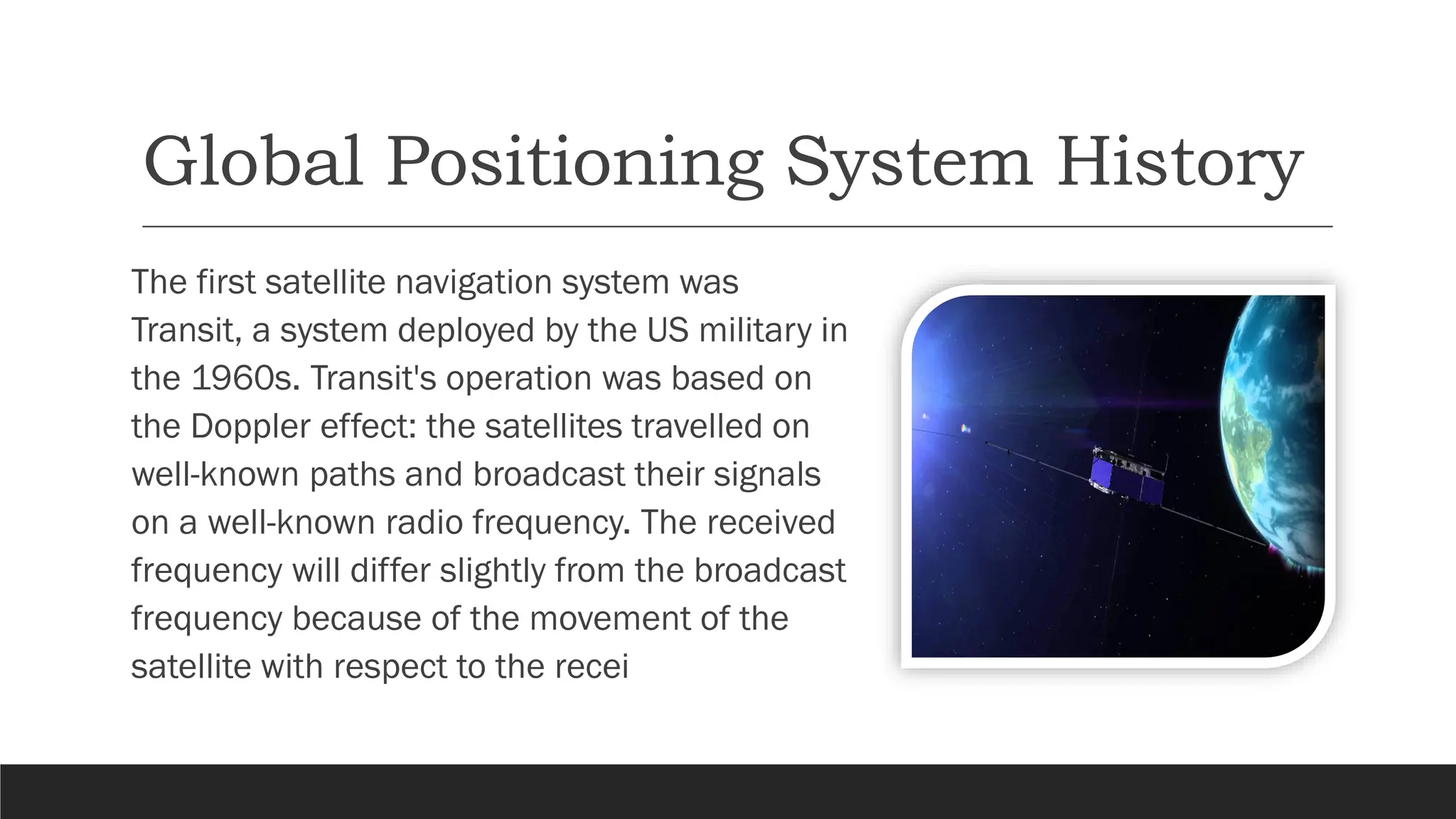
Satellites
for
navigation
B Y K A R A M R . T A W F E E Q
C O M P U T E R E N G I N E E R I N G D E P A R T M E N T
C O L L A G E O F E N G I N E E R I N G
The Magic of Navigation: Using
Satellites to Find Your Way
In this presentation we will talk
about the fascinating world of
satellite navigation, specifically
focusing on the Global
Positioning System (GPS). We will
look on how GPS works, its
components, and its different
applications in our daily lives
What is GPS ?
The Global Positioning System (GPS) is a
space based radio navigation system.
It provides location and time information
anywhere on Earth, weather permitting.
GPS is free to use for anyone with a
compatible receiver.
How Does GPS Work?
1
•GPS works by receiving signals from multiple satellites
•Each satellite transmits an accurate time signal
2
•The receiver calculates its distance to each satellite based on
the signal travel time
•By knowing the distance to at least four satellites, the receiver
can determine its location (latitude, longitude, and altitude).
3
•Using trilateration, the receiver determines your latitude,
longitude, and altitude
The Segments of GPS
User Segment
• GPS receivers
used by
individuals to
access GPS
data.
Control
Segment
• Ground stations
that monitor and
maintain the
satellites.
Space
Segment
• The network of
GPS satellites
orbiting Earth.
The Future of GPS
Advancements in GPS
technology are ongoing.
More accurate positioning
with additional satellite
constellations
Integration with other
technologies like self-driving
cars and augmented reality.
Limitations of GPS
.
GPS signals
can be
obstructed by
buildings,
tunnels, and
dense
foliage.
.
Limited
functionality
indoors or
underground.
.
Reliant on a
functioning
satellite
network and
user receiver.
Accuracy of GPS
GPS accuracy
can vary
depending on
several
factors
Number of
satellites in
view
Atmospheric
conditions
Receiver
quality
Applications of GPS in Everyday Life
• GPS is ubiquitous in
navigation applications on
smartphones and car
dashboards, providing
directions and real time traffic
updates
Navigation
• Emergency responders rely on
GPS to locate individuals in
distress, expediting response
times and saving lives.
Emergency
Services
•Fitness trackers and
smartwatches leverage GPS to
track workout routes, distance,
and pace, motivating users and
providing valuable exercise data
Fitness
Tracking
The Impact of GPS on Society
GPS has a profound impact on society beyond navigation:
Enables search and rescue teams to
locate missing persons more
effectively
Enhances outdoor recreation and
exploration activities
Supports disaster relief efforts by
providing real time situational
awareness
Empowers citizen science initiatives
through location-based data
collection
GPS in Precision Agriculture
Provides farmers with detailed field
data for optimized crop management.
Assists in creating yield maps
to identify areas requiring
more or less resources
Supports the use of drones
for crop monitoring and
spraying
Enables precision agriculture
practices like autosteering
tractors for planting
GPS in Transportation
Improves efficiency in logistics
and fleet management
Enables real-time tracking of
vehicles and cargo
Enhances maritime navigation for
safer and more efficient shipping
Global Positioning System History
The first satellite navigation system was
Transit, a system deployed by the US military in
the 1960s. Transit's operation was based on
the Doppler effect: the satellites travelled on
well-known paths and broadcast their signals
on a well-known radio frequency. The received
frequency will differ slightly from the broadcast
frequency because of the movement of the
satellite with respect to the recei
Conclusion
GPS is a revolutionary technology that has transformed
our world
It provides accurate and reliable navigation, enabling a
wide range of applications
As GPS technology continues to evolve, we can expect
even greater benefits in the future

sattelittes for-------------navigation.pdf

  • 1.
    Satellites for navigation B Y KA R A M R . T A W F E E Q C O M P U T E R E N G I N E E R I N G D E P A R T M E N T C O L L A G E O F E N G I N E E R I N G
  • 2.
    The Magic ofNavigation: Using Satellites to Find Your Way In this presentation we will talk about the fascinating world of satellite navigation, specifically focusing on the Global Positioning System (GPS). We will look on how GPS works, its components, and its different applications in our daily lives
  • 3.
    What is GPS? The Global Positioning System (GPS) is a space based radio navigation system. It provides location and time information anywhere on Earth, weather permitting. GPS is free to use for anyone with a compatible receiver.
  • 4.
    How Does GPSWork? 1 •GPS works by receiving signals from multiple satellites •Each satellite transmits an accurate time signal 2 •The receiver calculates its distance to each satellite based on the signal travel time •By knowing the distance to at least four satellites, the receiver can determine its location (latitude, longitude, and altitude). 3 •Using trilateration, the receiver determines your latitude, longitude, and altitude
  • 5.
    The Segments ofGPS User Segment • GPS receivers used by individuals to access GPS data. Control Segment • Ground stations that monitor and maintain the satellites. Space Segment • The network of GPS satellites orbiting Earth.
  • 6.
    The Future ofGPS Advancements in GPS technology are ongoing. More accurate positioning with additional satellite constellations Integration with other technologies like self-driving cars and augmented reality.
  • 7.
    Limitations of GPS . GPSsignals can be obstructed by buildings, tunnels, and dense foliage. . Limited functionality indoors or underground. . Reliant on a functioning satellite network and user receiver.
  • 8.
    Accuracy of GPS GPSaccuracy can vary depending on several factors Number of satellites in view Atmospheric conditions Receiver quality
  • 9.
    Applications of GPSin Everyday Life • GPS is ubiquitous in navigation applications on smartphones and car dashboards, providing directions and real time traffic updates Navigation • Emergency responders rely on GPS to locate individuals in distress, expediting response times and saving lives. Emergency Services •Fitness trackers and smartwatches leverage GPS to track workout routes, distance, and pace, motivating users and providing valuable exercise data Fitness Tracking
  • 10.
    The Impact ofGPS on Society GPS has a profound impact on society beyond navigation: Enables search and rescue teams to locate missing persons more effectively Enhances outdoor recreation and exploration activities Supports disaster relief efforts by providing real time situational awareness Empowers citizen science initiatives through location-based data collection
  • 11.
    GPS in PrecisionAgriculture Provides farmers with detailed field data for optimized crop management. Assists in creating yield maps to identify areas requiring more or less resources Supports the use of drones for crop monitoring and spraying Enables precision agriculture practices like autosteering tractors for planting
  • 12.
    GPS in Transportation Improvesefficiency in logistics and fleet management Enables real-time tracking of vehicles and cargo Enhances maritime navigation for safer and more efficient shipping
  • 13.
    Global Positioning SystemHistory The first satellite navigation system was Transit, a system deployed by the US military in the 1960s. Transit's operation was based on the Doppler effect: the satellites travelled on well-known paths and broadcast their signals on a well-known radio frequency. The received frequency will differ slightly from the broadcast frequency because of the movement of the satellite with respect to the recei
  • 14.
    Conclusion GPS is arevolutionary technology that has transformed our world It provides accurate and reliable navigation, enabling a wide range of applications As GPS technology continues to evolve, we can expect even greater benefits in the future