Downloaded 17 times

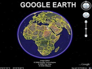


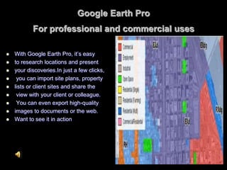


Google Earth is a geographic browser that allows users to view satellite imagery and geospatial data of Earth. It displays satellite images of varying resolution, from 15 meters up to half a meter, depending on the area. Users can explore locations through interactive 3D viewing and fly anywhere on Earth. Google Earth also allows users to view and share user-generated geospatial data and location-specific information through KML files. It has applications in various fields like education, telecommunications network planning, and commercial purposes like site research.


![5G Explained! A High Level Overview [Introduction]](https://cdn.slidesharecdn.com/ss_thumbnails/5gexplainedahighleveloverview-260119165306-cc137a3e-thumbnail.jpg?width=640&height=640&fit=bounds)


