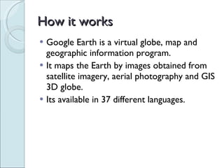
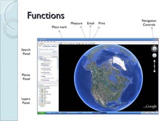
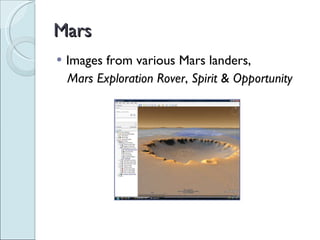
Google Earth is a virtual globe program that maps the Earth using satellite imagery, aerial photography, and GIS data. It allows users to view 3D images of locations on Earth, take virtual tours of places, and find driving directions. Additional features include searching for locations of interest, viewing historical Street View images, and exploring 3D models of places on Earth as well as images of Mars from various space missions.