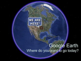
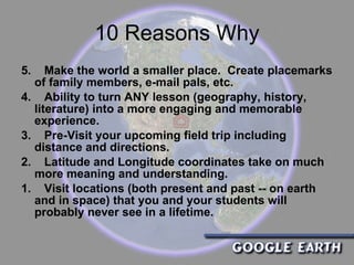
1. The document provides an overview of Google Earth and lists 10 reasons to use it in education, such as allowing students to virtually visit locations they may never see.
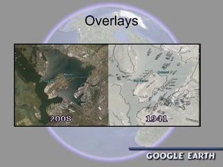
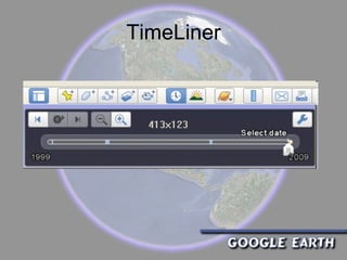
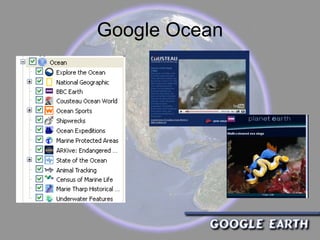
2. It describes features of Google Earth like recording tours, viewing locations over time, and exploring Mars. It also explains how to find and use KMZ/KML files to mark locations.
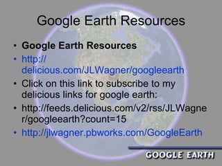
3. Resources are provided for using Google Earth with Google Maps, simulations, SketchUp, and for the iPhone, as well as links to tutorials, communities, and news articles about its educational uses.