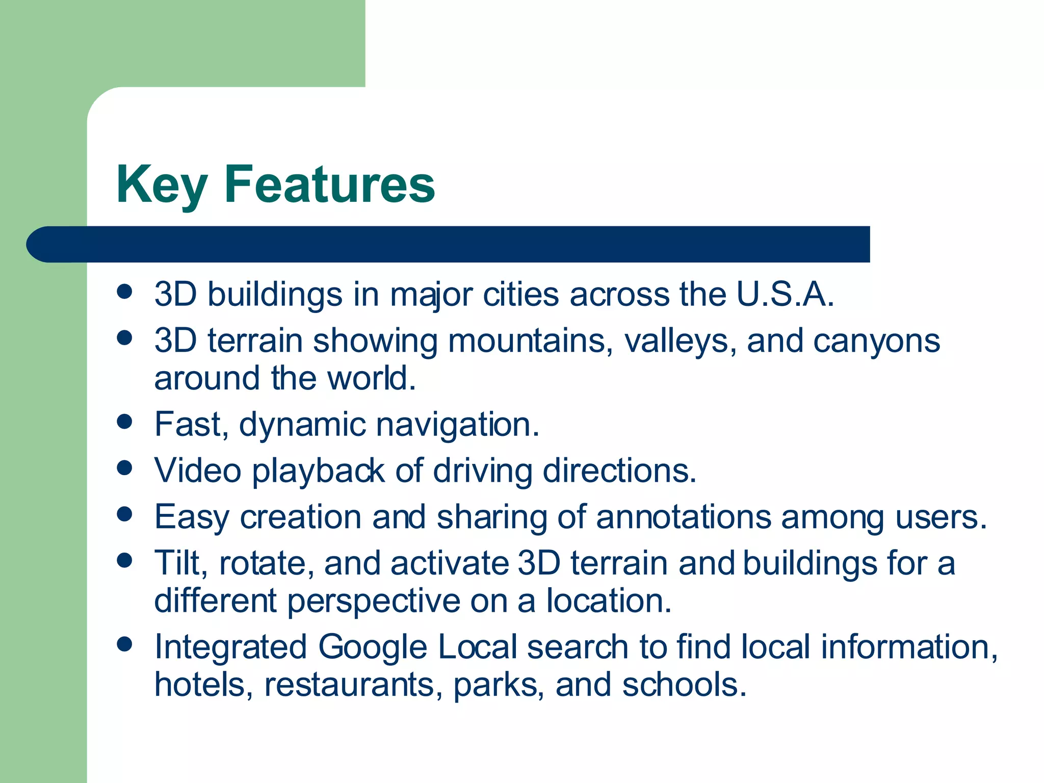
Google Earth is a 3D satellite map application that allows users to easily research and share views of locations around the world. It utilizes broadband streaming technology and 3D graphics to interactively explore locations from neighborhoods to far corners of the globe. Key features include 3D buildings and terrain, dynamic navigation, video playback, and sharing annotations.