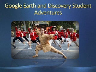
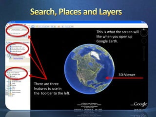
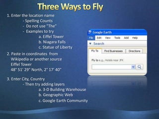
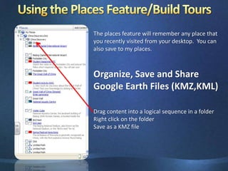
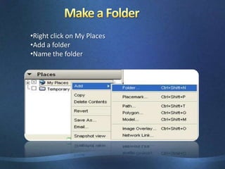
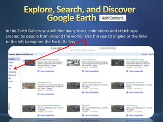
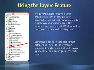
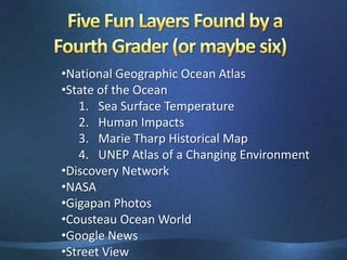
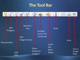
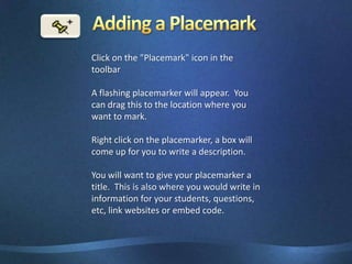
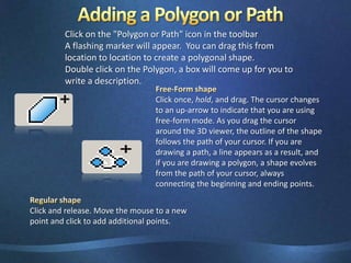
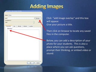
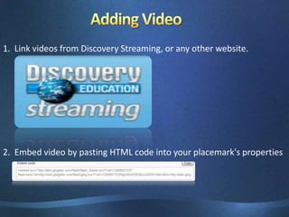
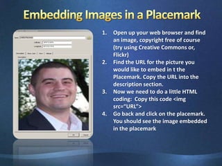
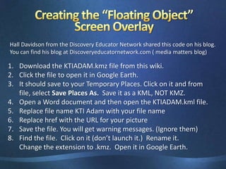
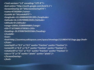
This document provides an overview of Google Earth and ways it can be used in the classroom. It discusses features of Google Earth like layers, distance measurements, linking additional content, and creating paths and tours. Examples are given of how Google Earth has been used to teach about the American Revolution, climate, and frogs. Directions are provided for adding placemarks, images, videos and creating screen overlays. Resources for lesson plans and help with Google Earth are also listed.