Download to read offline


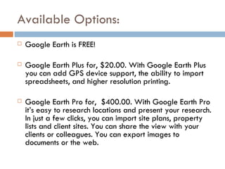

Google Earth combines Google search capabilities with satellite imagery, maps, and 3D buildings to provide geographic information to users. It allows users to search for locations, get driving directions, view locations in 3D, and share saved places and photos with others for free. Paid versions offer additional features like GPS support and higher resolution printing or tools for professional research and client presentations.


