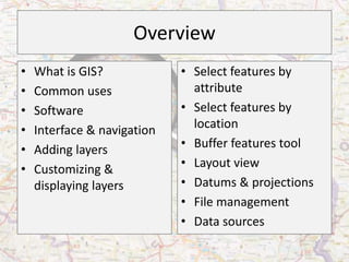
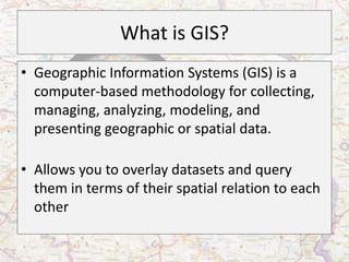
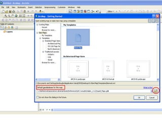
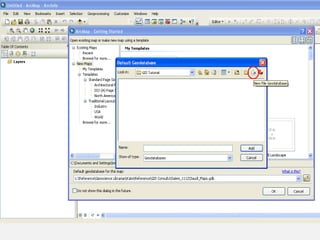
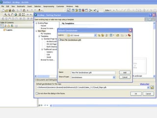
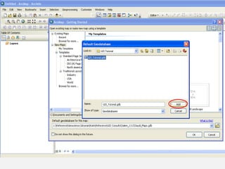
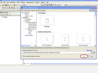
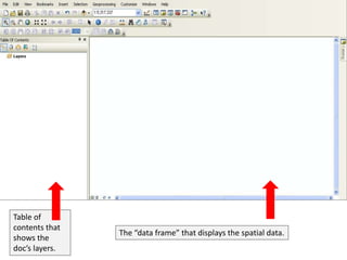
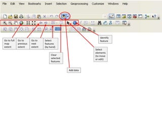
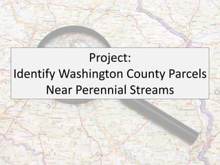
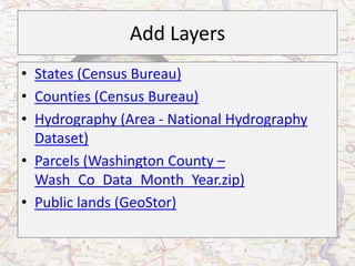
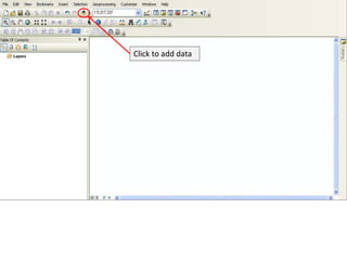
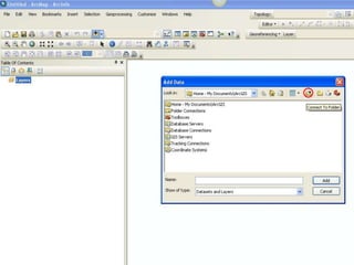
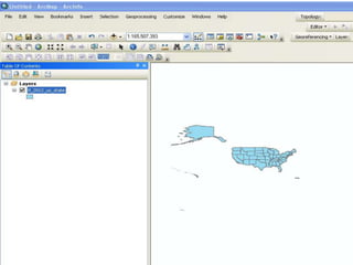
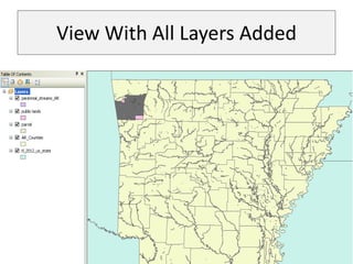
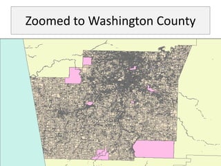
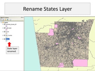
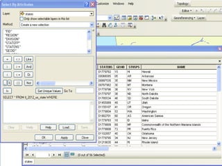
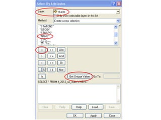
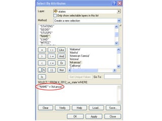
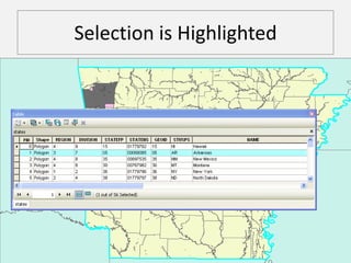
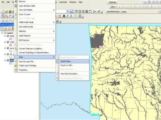
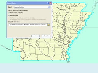
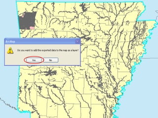
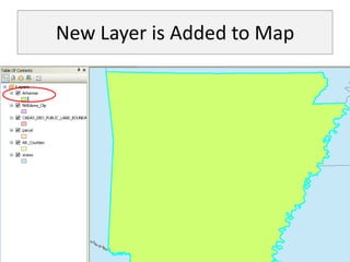
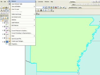
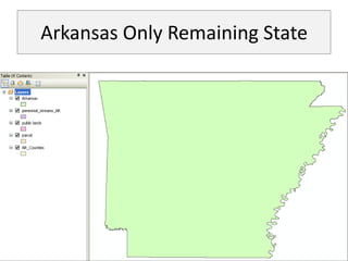
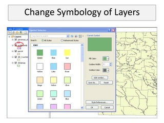
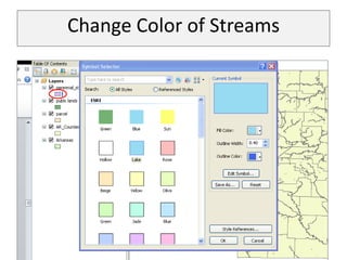
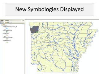
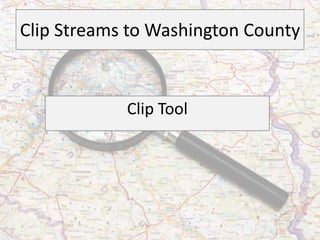
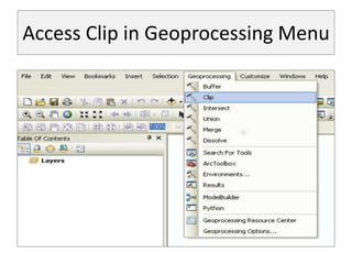
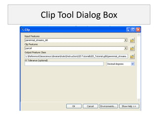
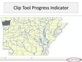
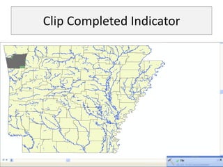
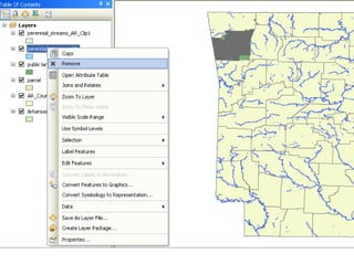
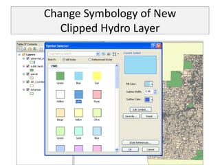
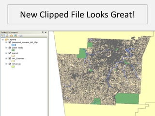
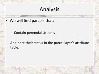
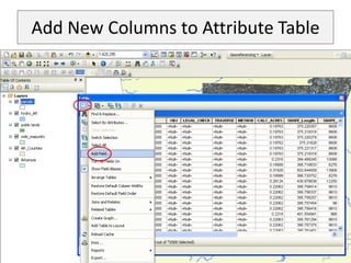
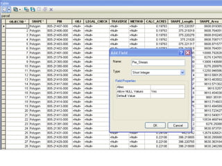
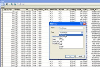
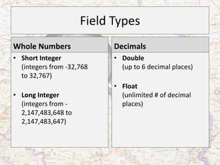
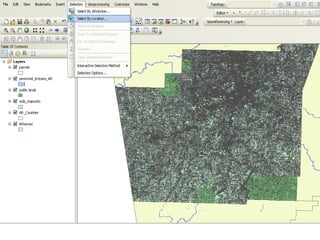
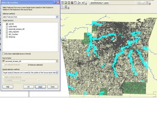
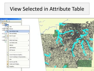
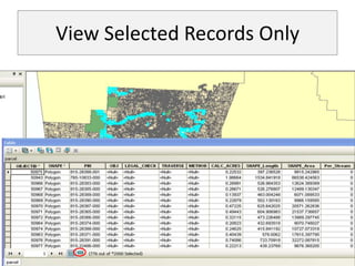
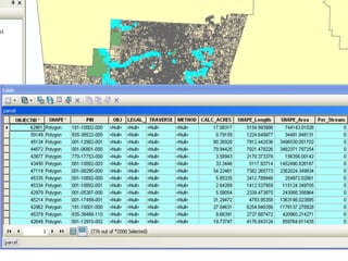
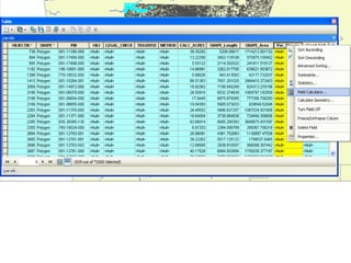
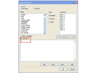
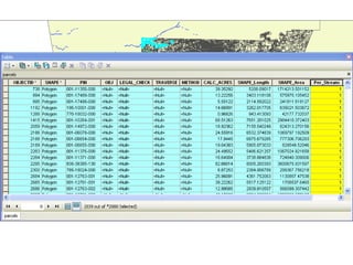
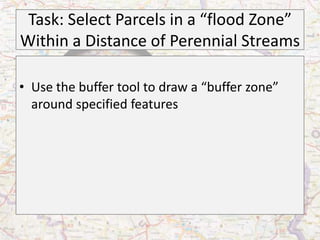
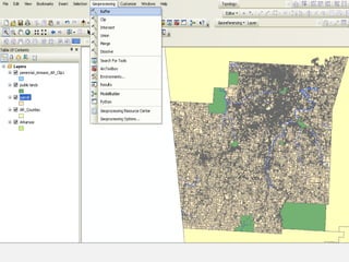
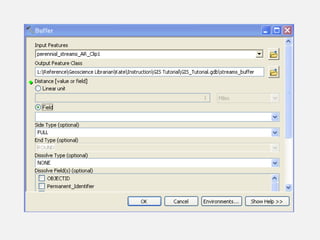
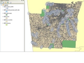
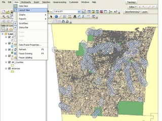
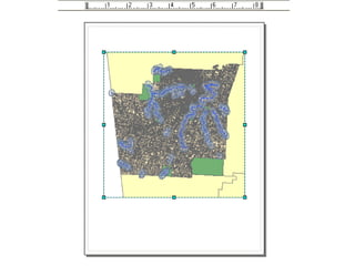
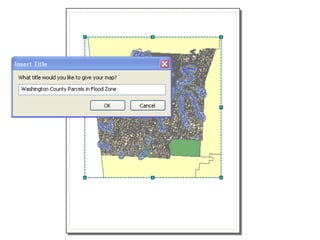
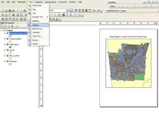
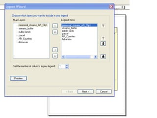
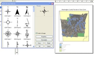
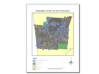
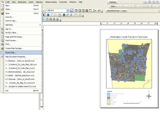
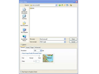
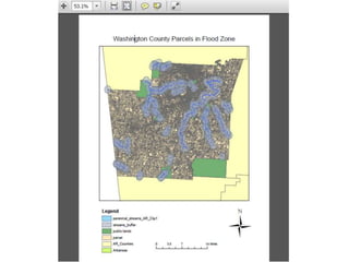
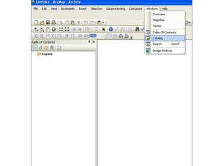
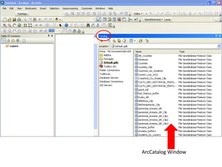
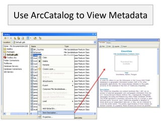
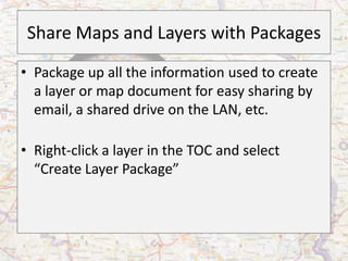
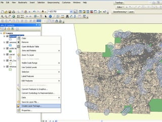
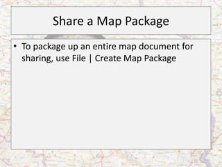
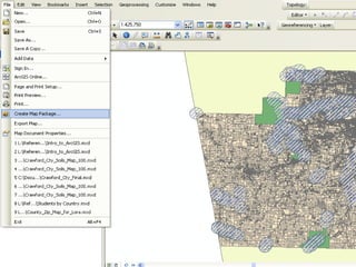
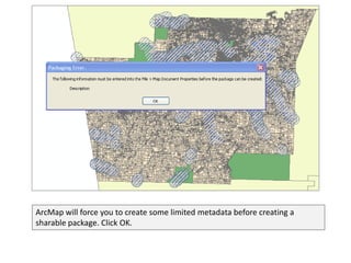
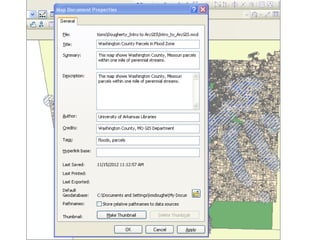
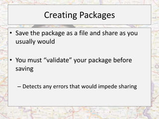
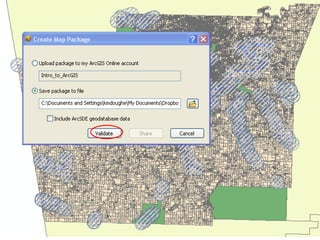
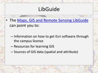
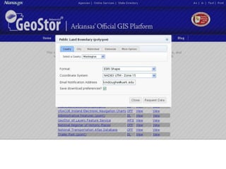
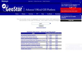
This document provides an overview of ArcGIS software and GIS concepts. It discusses what GIS is, common uses of GIS, and the Esri ArcGIS software interface. It demonstrates how to add and customize layers, select features, analyze spatial relationships, and manage map files. The document walks through creating a map of Washington County parcels near streams to illustrate GIS analysis and feature selection tools.