Downloaded 325 times

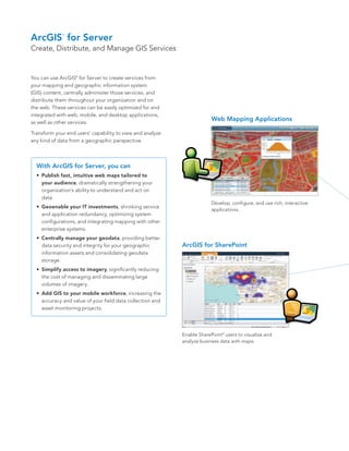
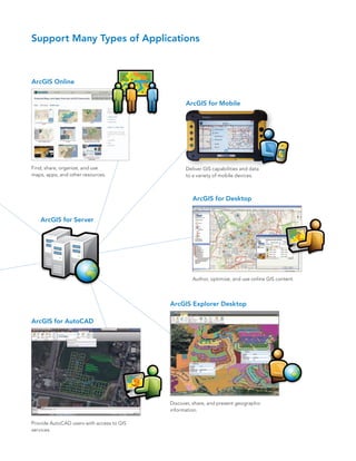
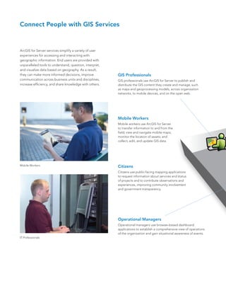
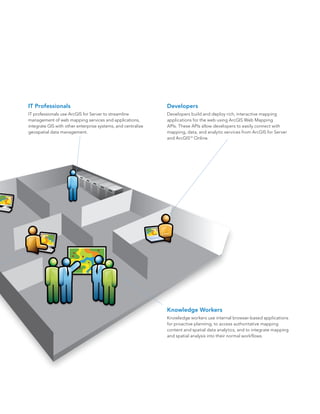
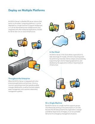

ArcGIS for Server allows users to create, distribute, and manage geographic information system (GIS) services. These services can be optimized for and integrated with web, mobile, and desktop applications. ArcGIS for Server enables users to publish maps and geospatial data as services, centrally manage these services, and distribute them throughout an organization and on the web. It supports a variety of applications including web mapping, mobile mapping, desktop mapping, and integration with other systems like SharePoint.