Downloaded 33 times


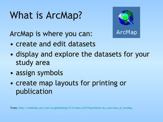
![What is ArcMap? ArcMap represents geographic information as a collection of map layers and other elements in a map. Common map elements can include a scale bar, compass rose [north arrow], title, descriptive text, a symbol legend From: http://webhelp.esri.com/arcgisdesktop/9.3/index.cfm?TopicName= An_overview_of_ArcMap](https://image.slidesharecdn.com/gis7-100407051905-phpapp01/85/GIS-7-15-320.jpg)

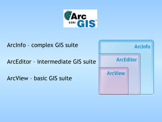
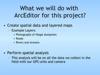
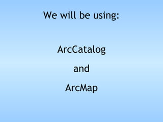
This document provides an overview of how ArcEditor GIS software will be used for an environmental systems project. ArcEditor allows users to view and edit spatial data, create maps with multiple layers, and perform mid-level spatial analysis. For this project, ArcEditor will be used to create layers of photographs, roads, rivers, and GPS data, and to perform spatial analysis relating all collected field data. ArcCatalog and ArcMap are the key applications that will be used. ArcCatalog helps manage geographic data and create geodatabases, while ArcMap allows editing data, exploring maps, and creating map layouts for printing.