Downloaded 291 times
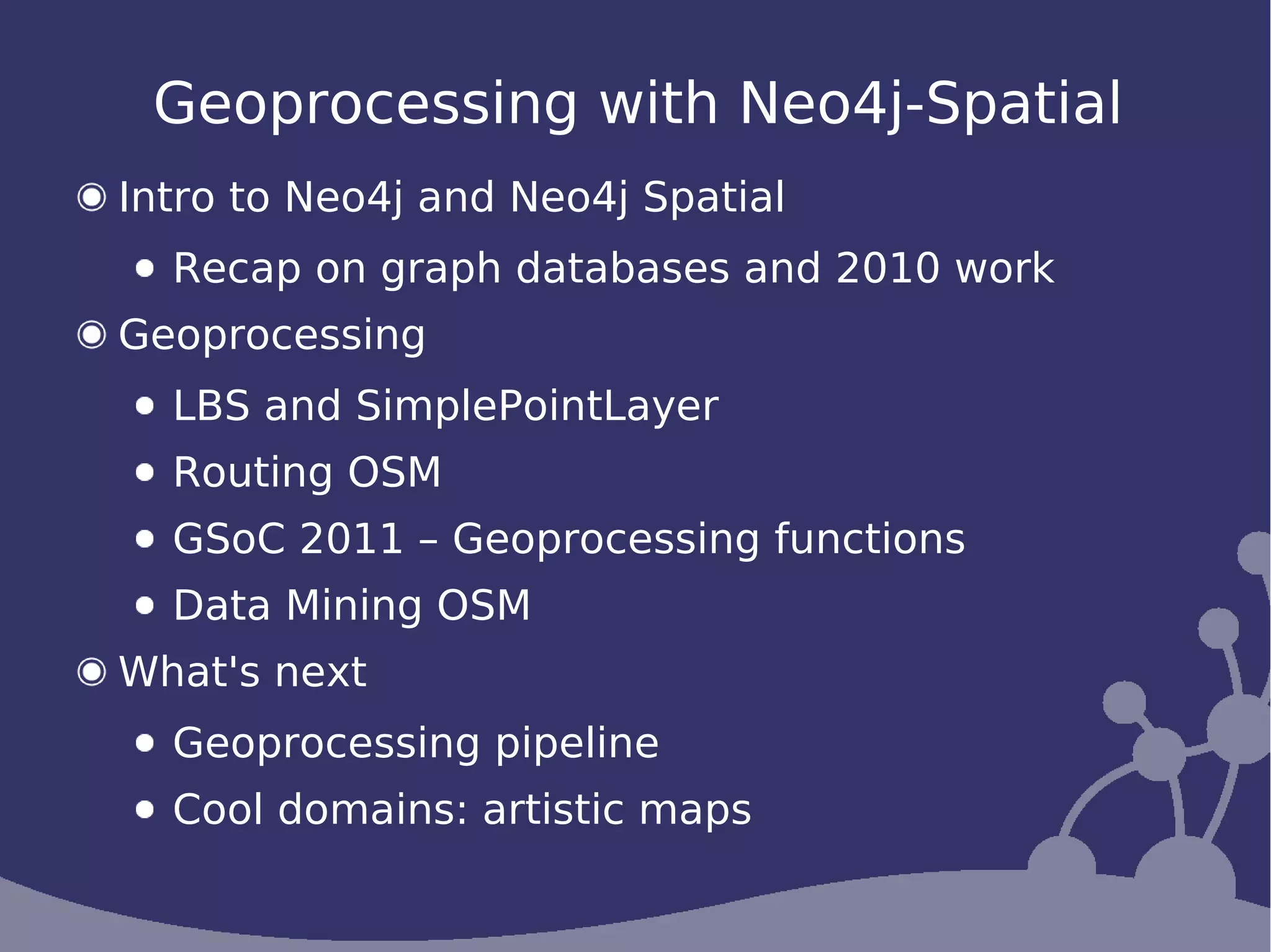
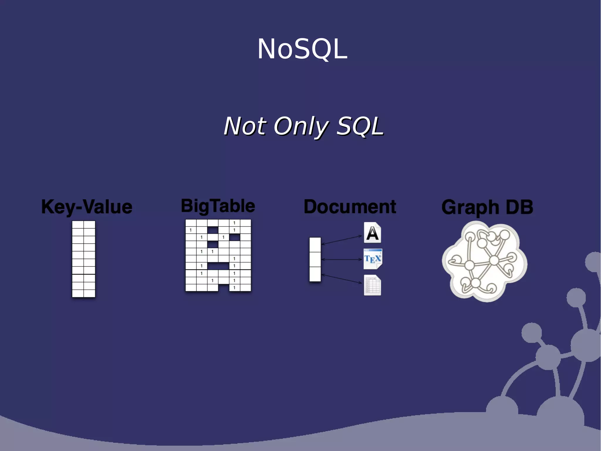
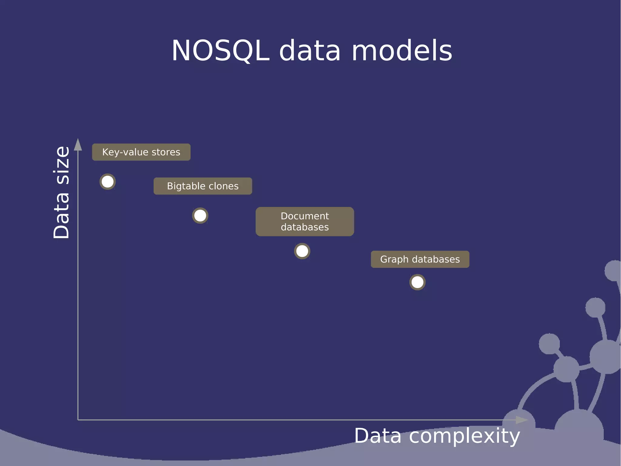
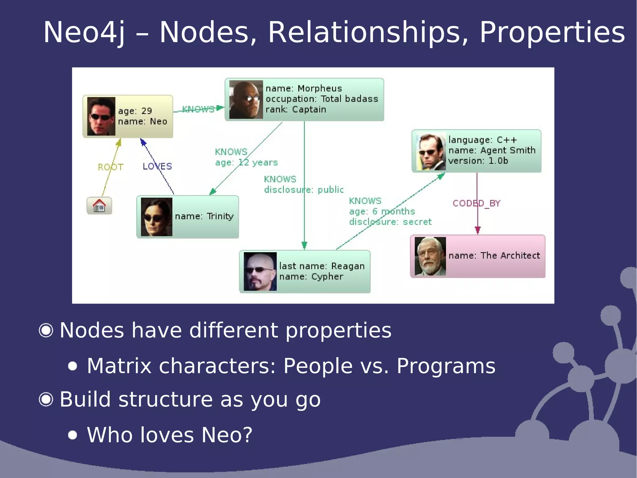
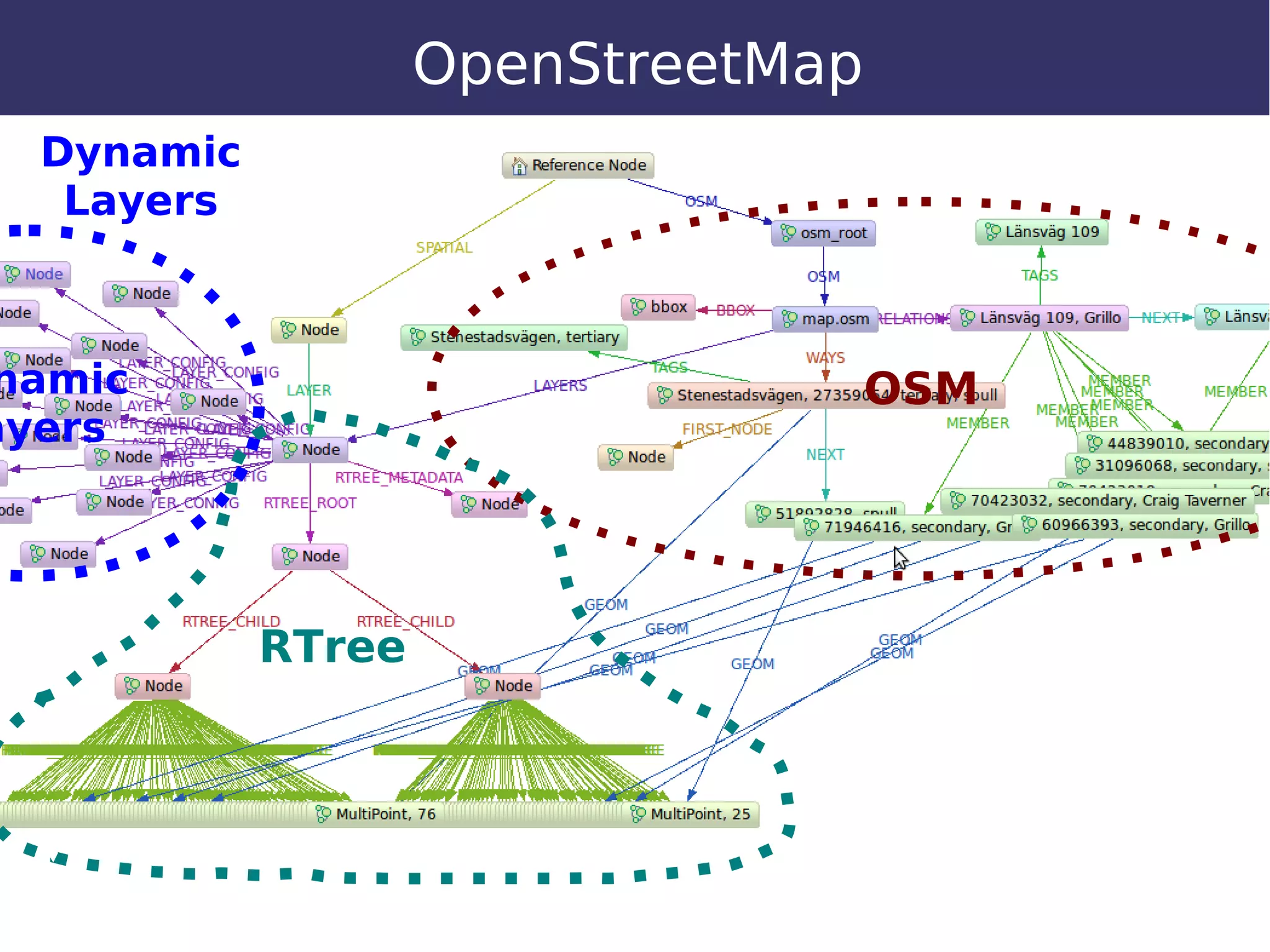
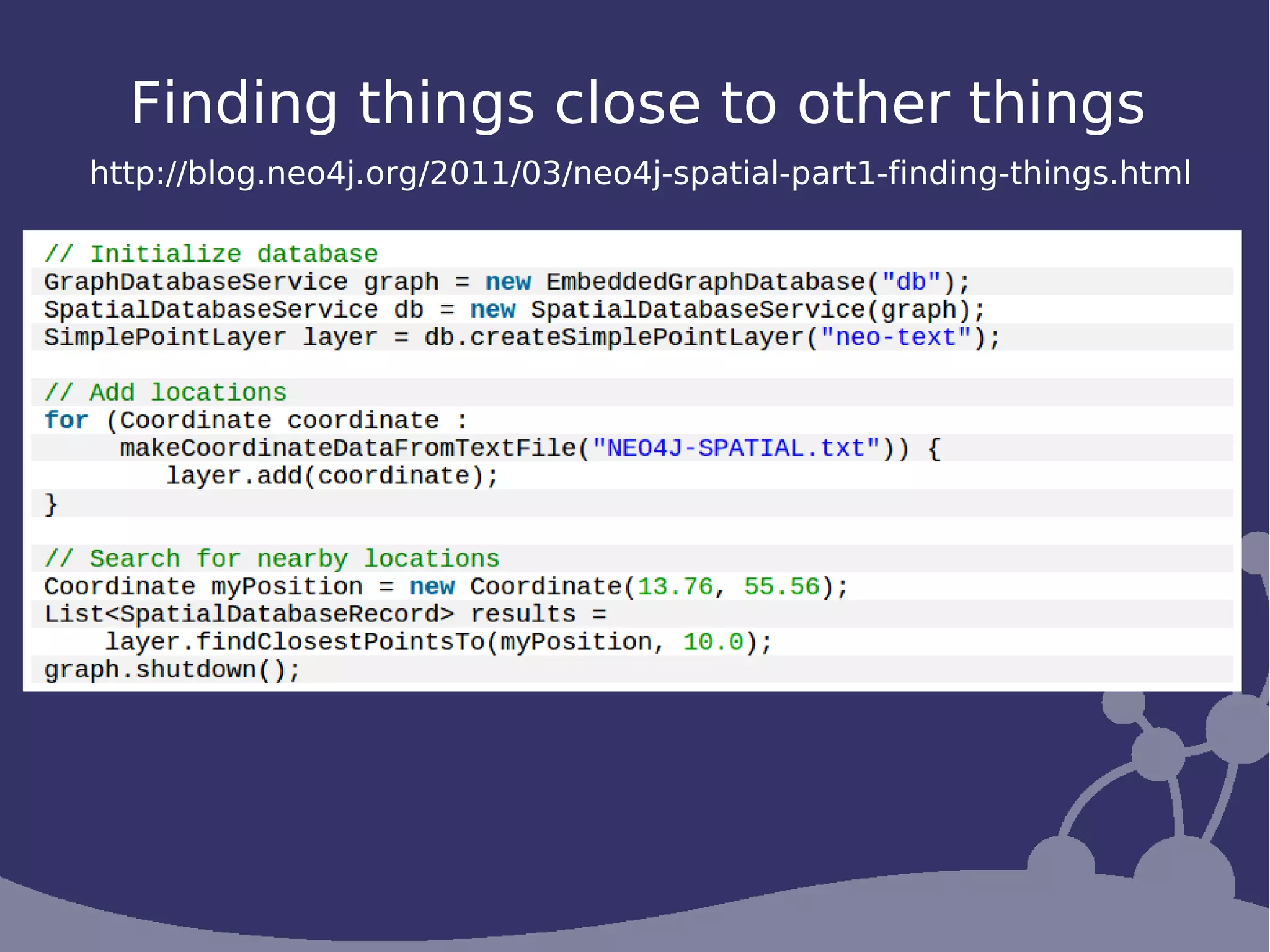
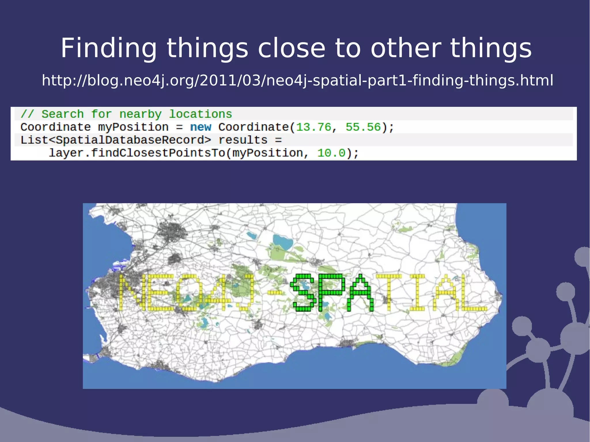
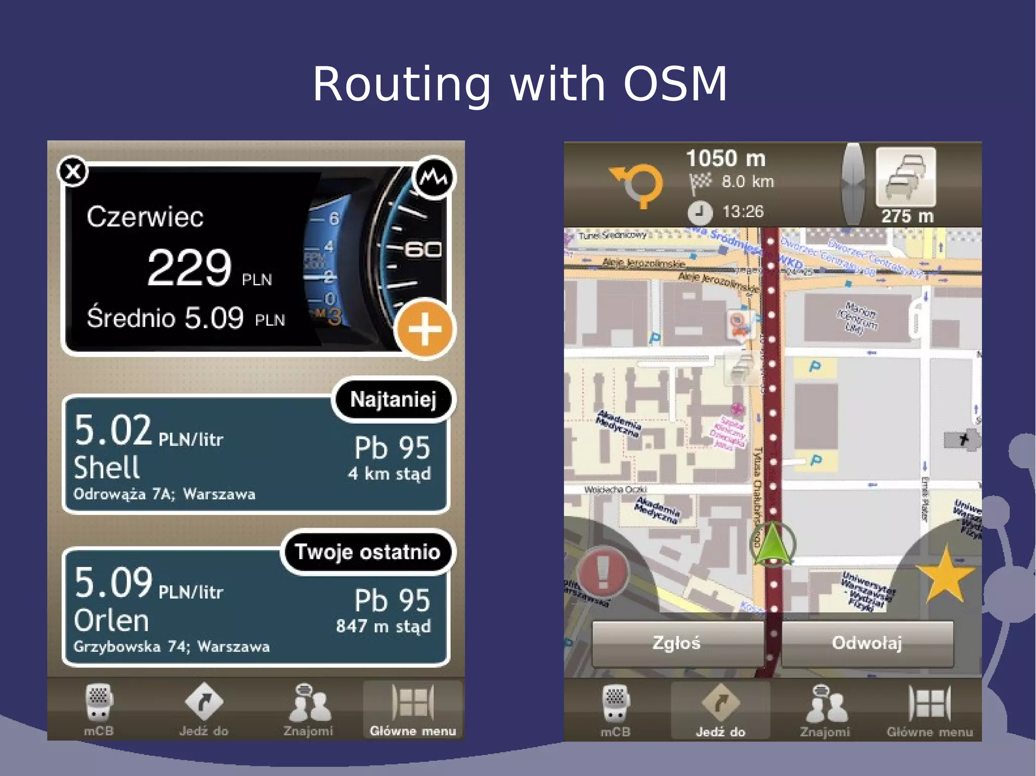
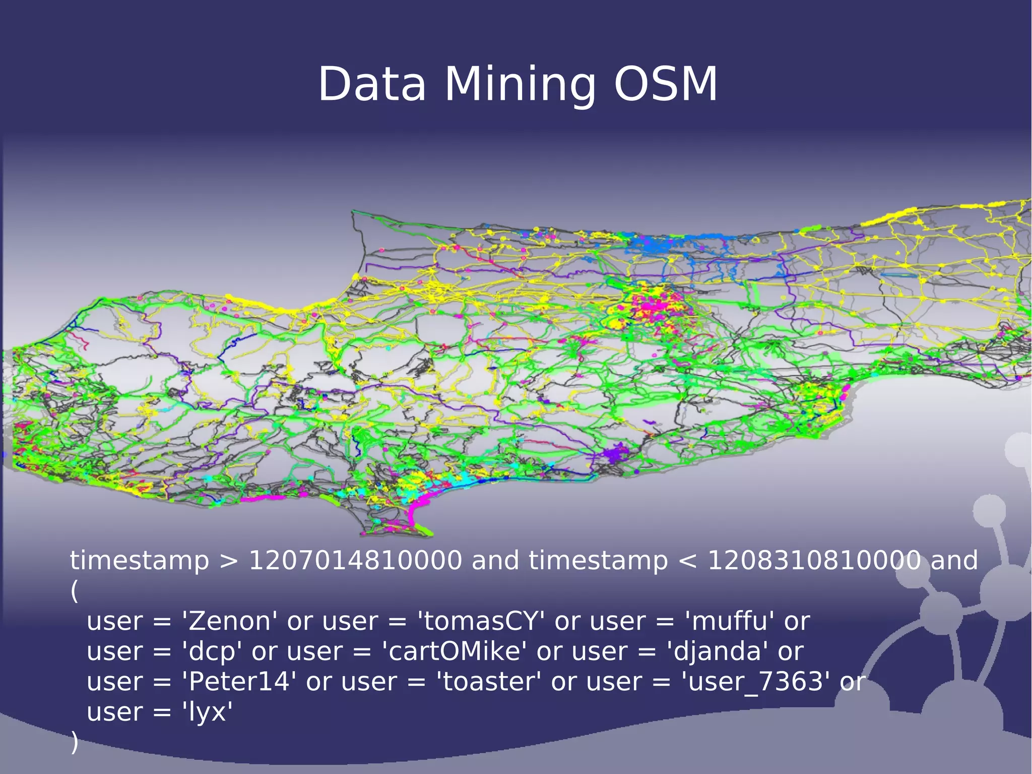
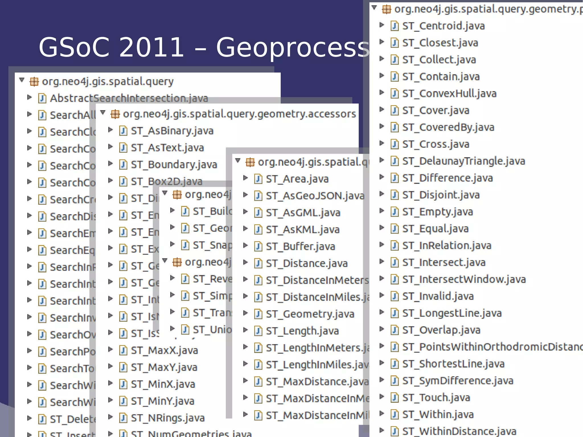
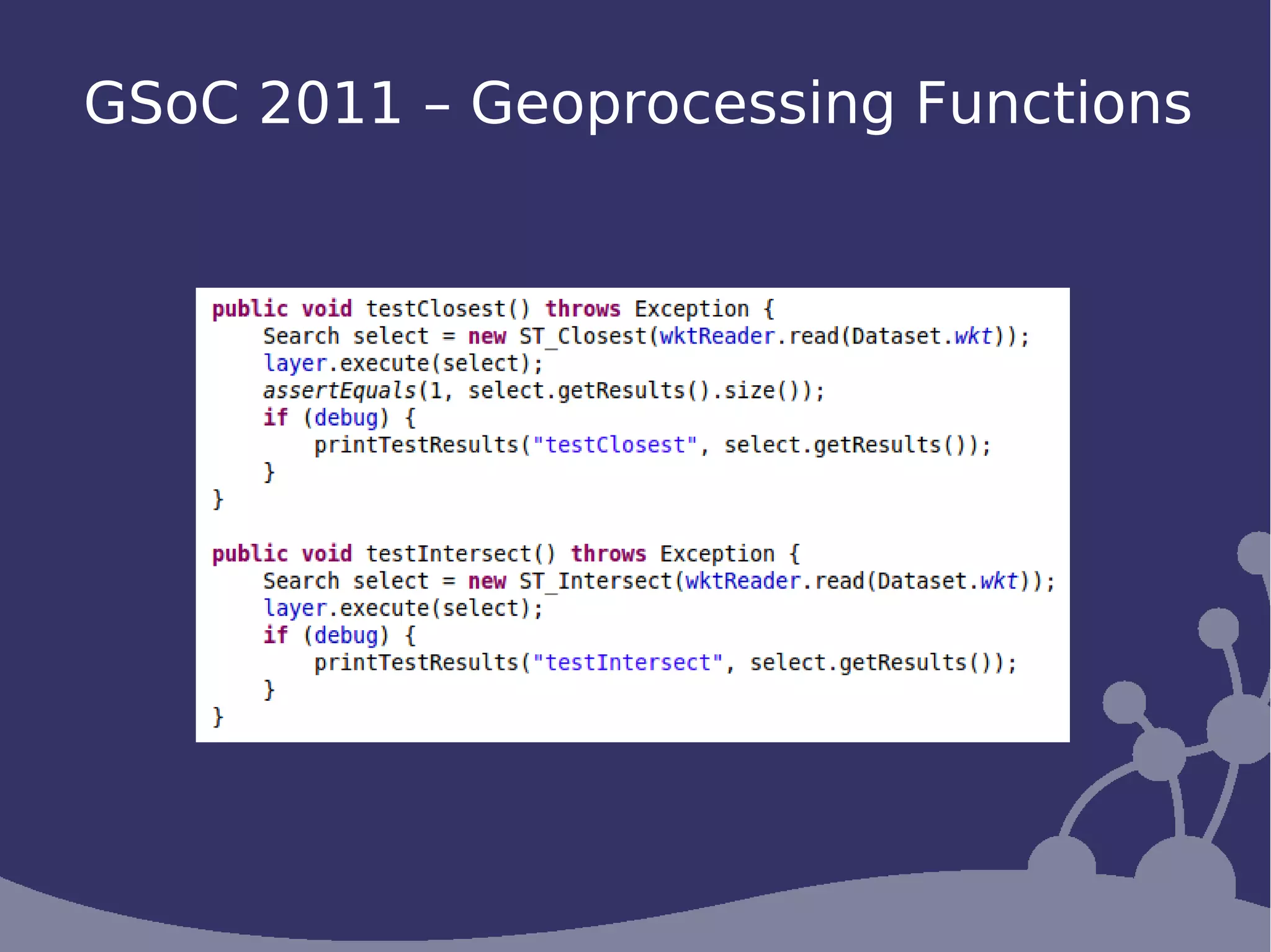

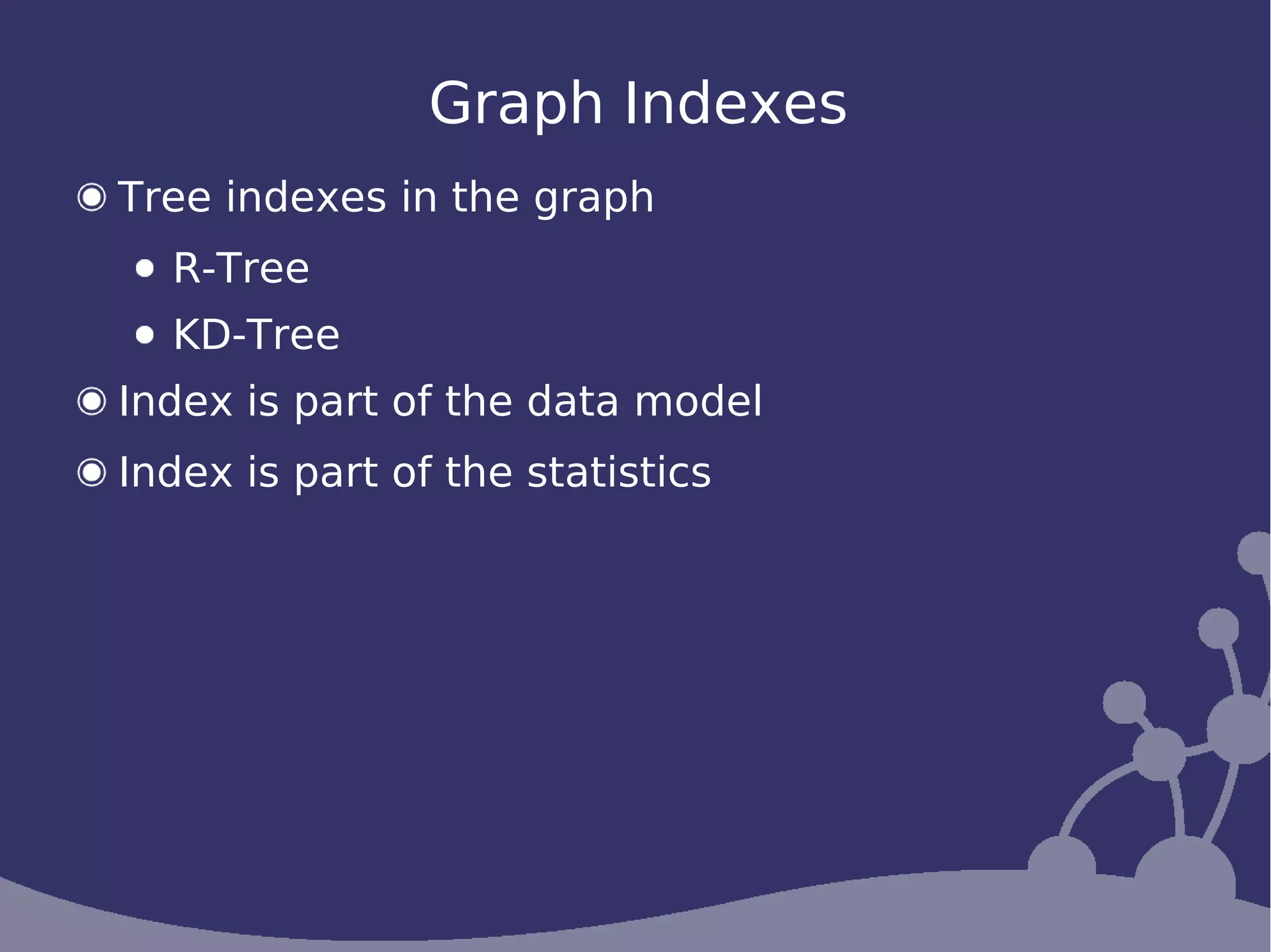
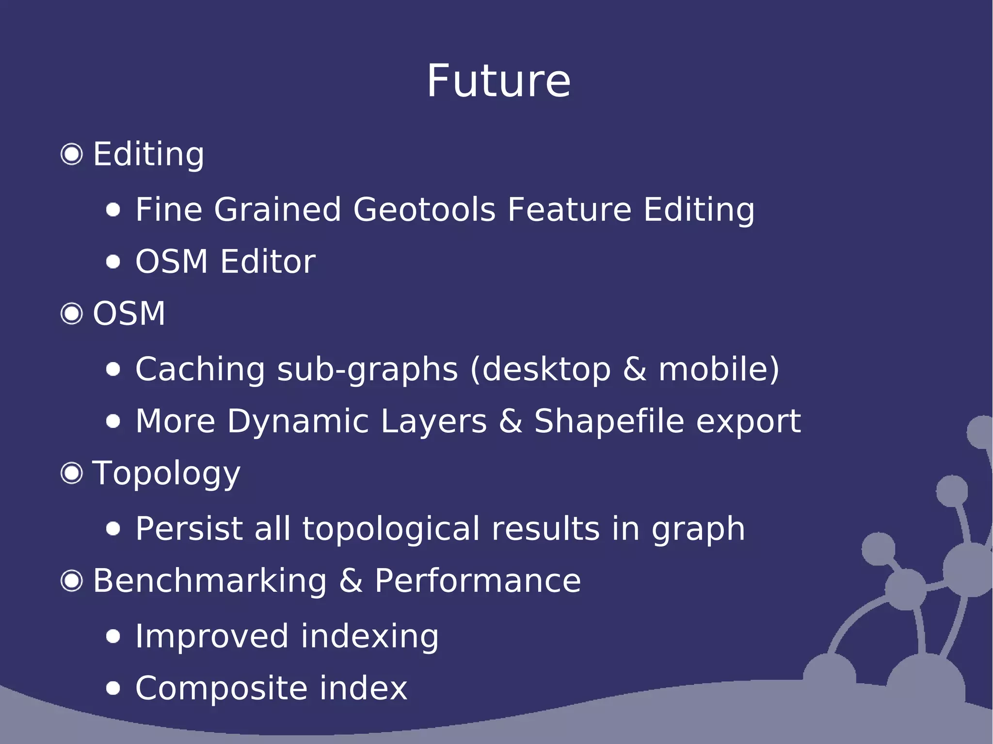
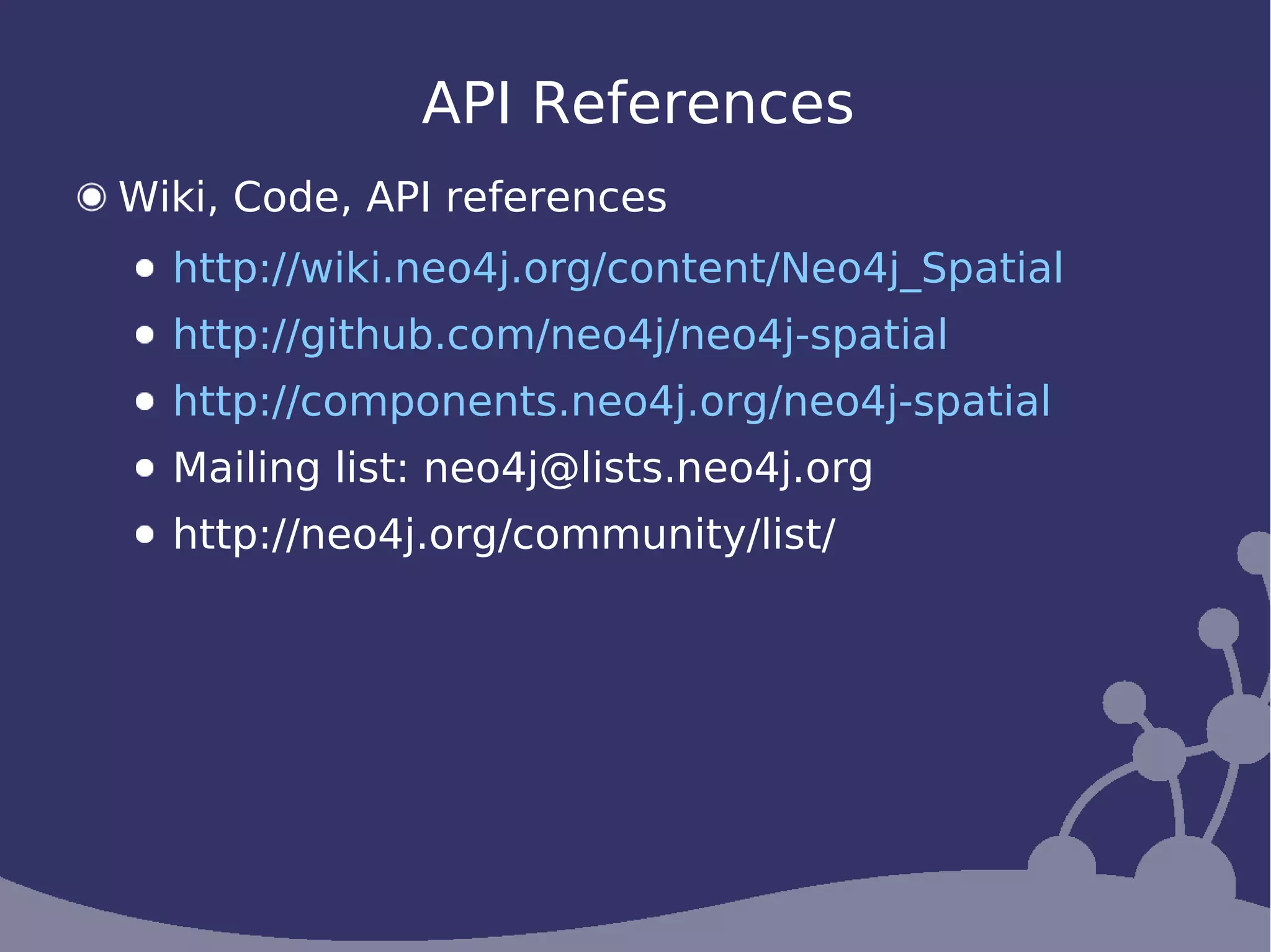

The document discusses the use of Neo4j for geoprocessing and spatial data processing, highlighting its features such as graph databases, routing with OpenStreetMap data, and various geoprocessing functions. It covers advancements made in Neo4j Spatial, including support for dynamic layers, indexing improvements, and the integration of data mining techniques. Additionally, resources for further exploration and community engagement are provided.


![Coded Agents – with UiPath SDK + LangGraph [Virtual Hands-on Workshop]](https://cdn.slidesharecdn.com/ss_thumbnails/codedagentsdeck-251215155422-5497c599-thumbnail.jpg?width=640&height=640&fit=bounds)


