1. Geological investigations involve surface and subsurface exploration methods to determine the geological structure, lithology, groundwater conditions, and seismicity of an area before constructing major civil engineering projects like dams.
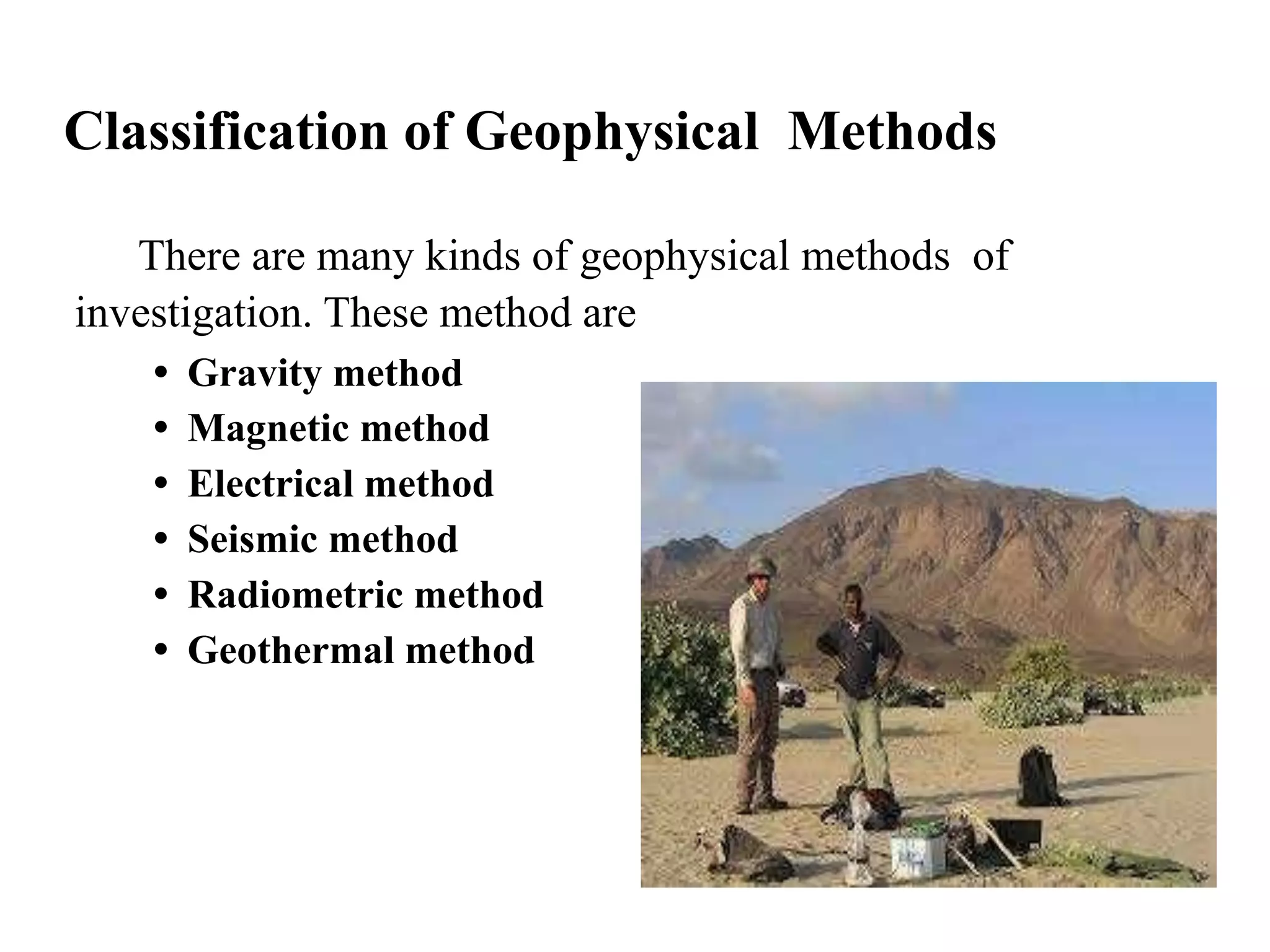
2. Subsurface exploration methods include direct techniques like drilling and indirect geophysical methods. Important geophysical methods are gravity, magnetic, electrical, seismic, and radiometric, with electrical methods being the most versatile.
3. Seismic refraction and reflection techniques use geophones to record seismic wave arrival times and construct time-distance graphs to determine layer depths and velocities below a site. Configuration of geophones includes fan, profile, and circular shooting patterns.