Downloaded 133 times

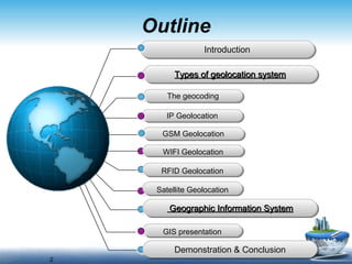
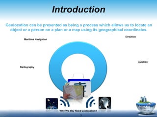
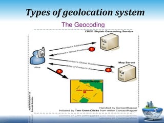
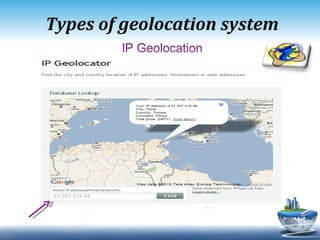
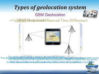


Geolocation systems allow objects and people to be located on a map using their geographical coordinates. The document discusses several types of geolocation systems including IP geolocation, GSM geolocation, WiFi geolocation, RFID geolocation, and satellite geolocation. It also discusses how geographic information systems (GIS) combine geographic data and other information to generate visual maps and reports.