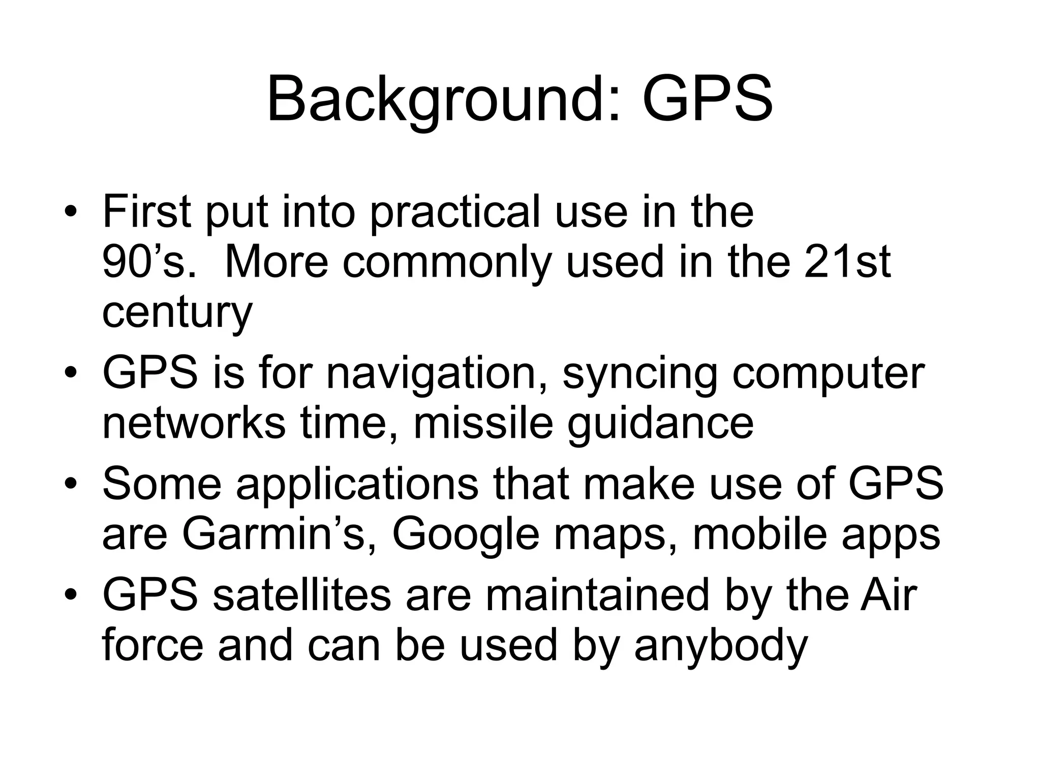
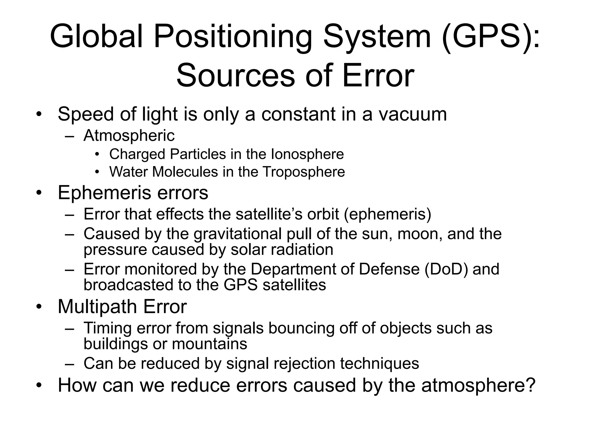
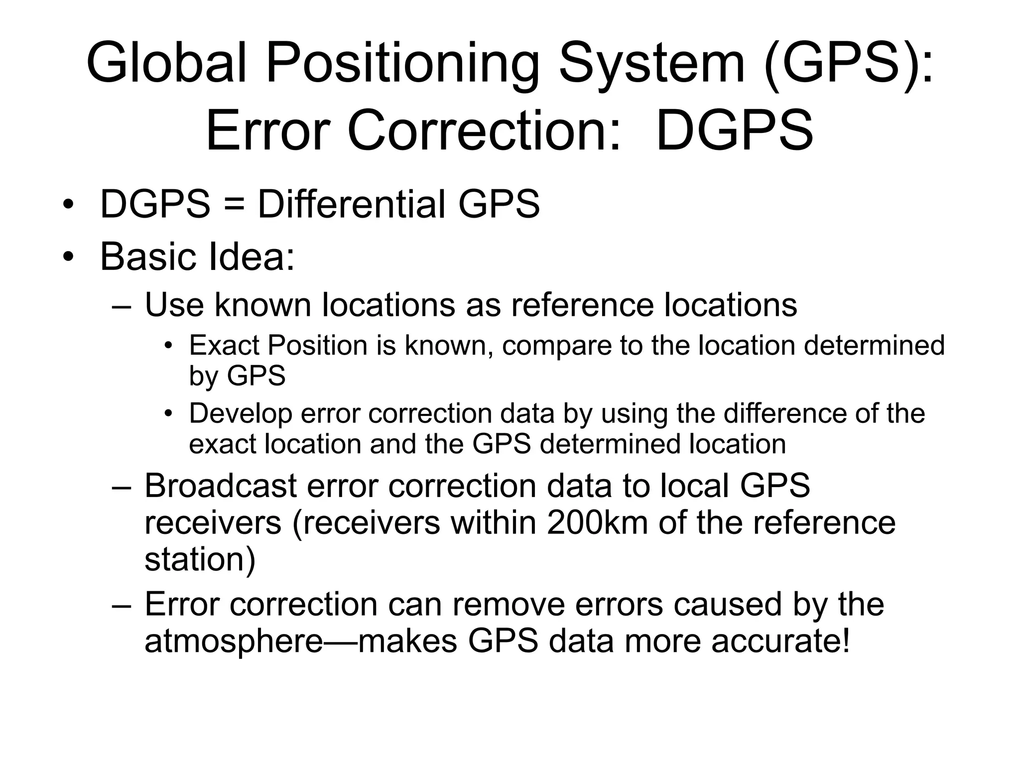
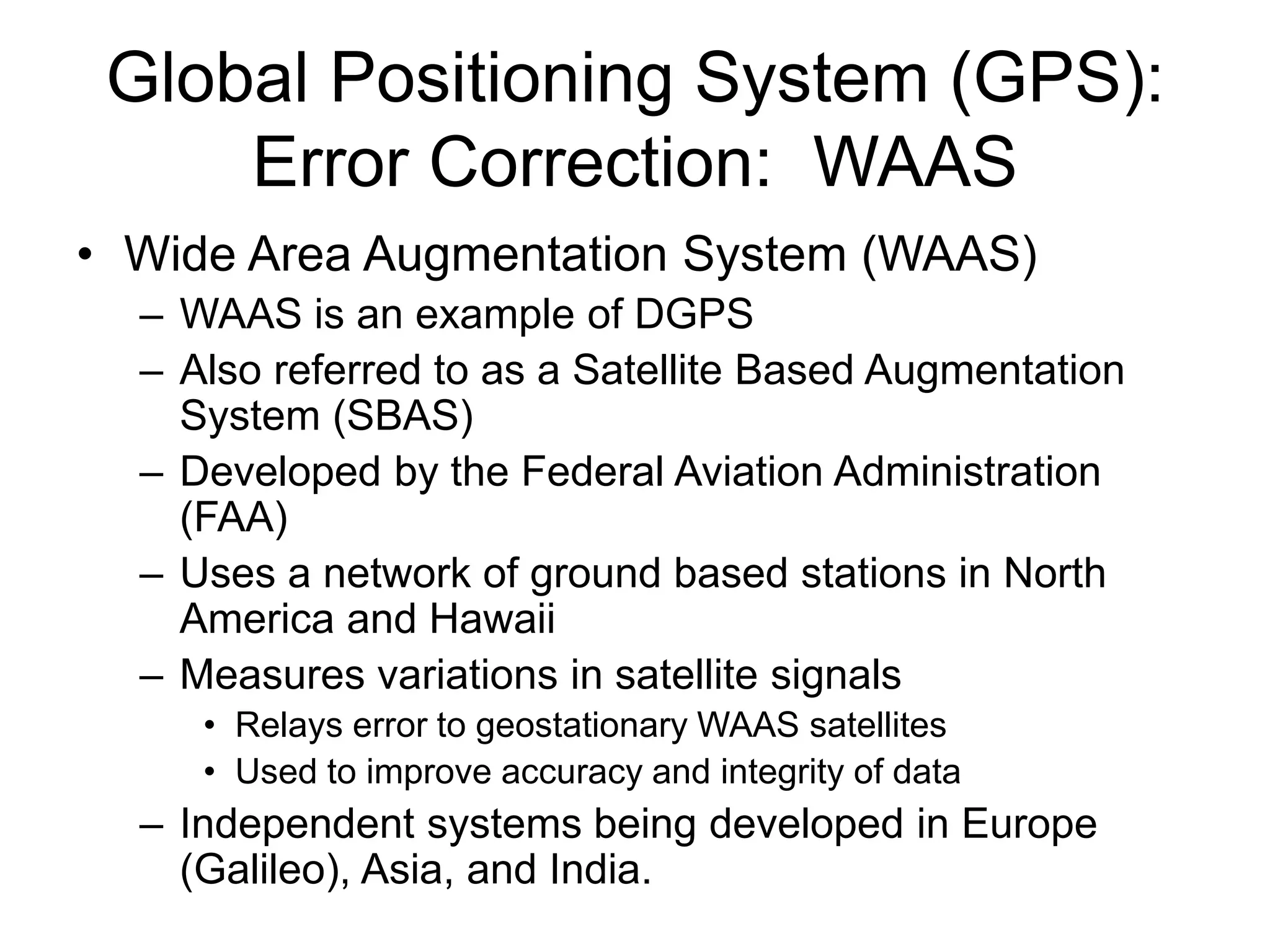
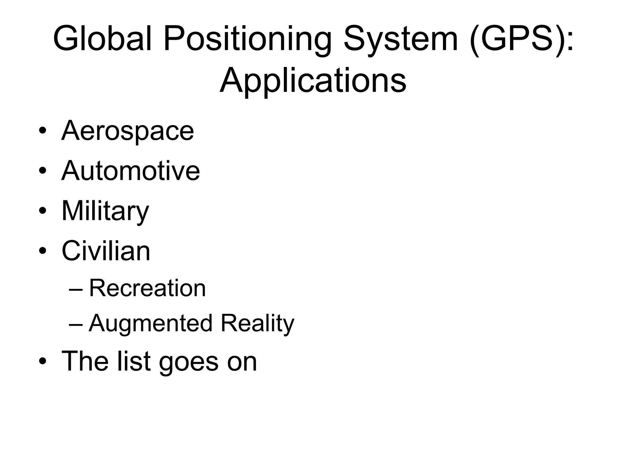
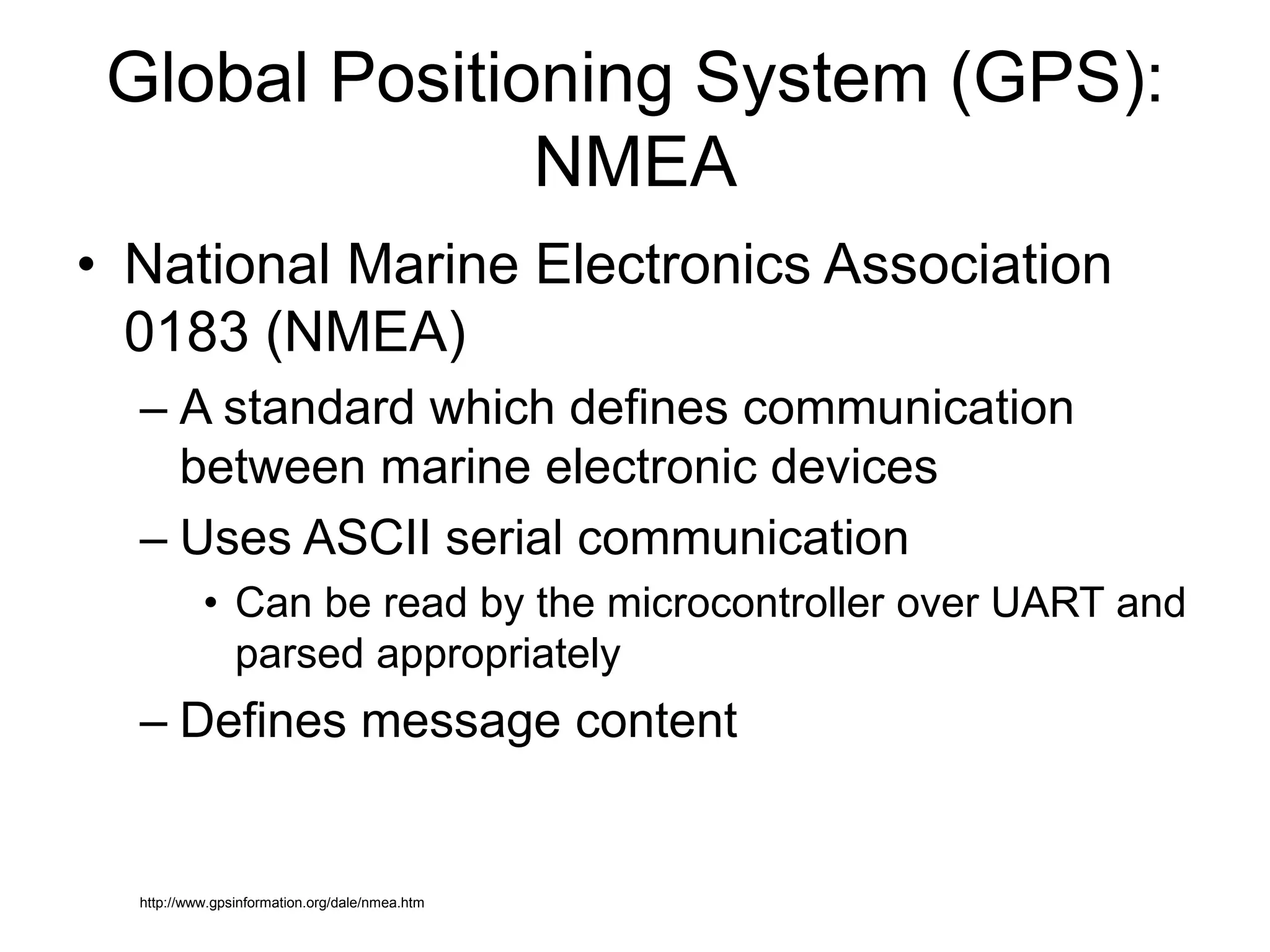
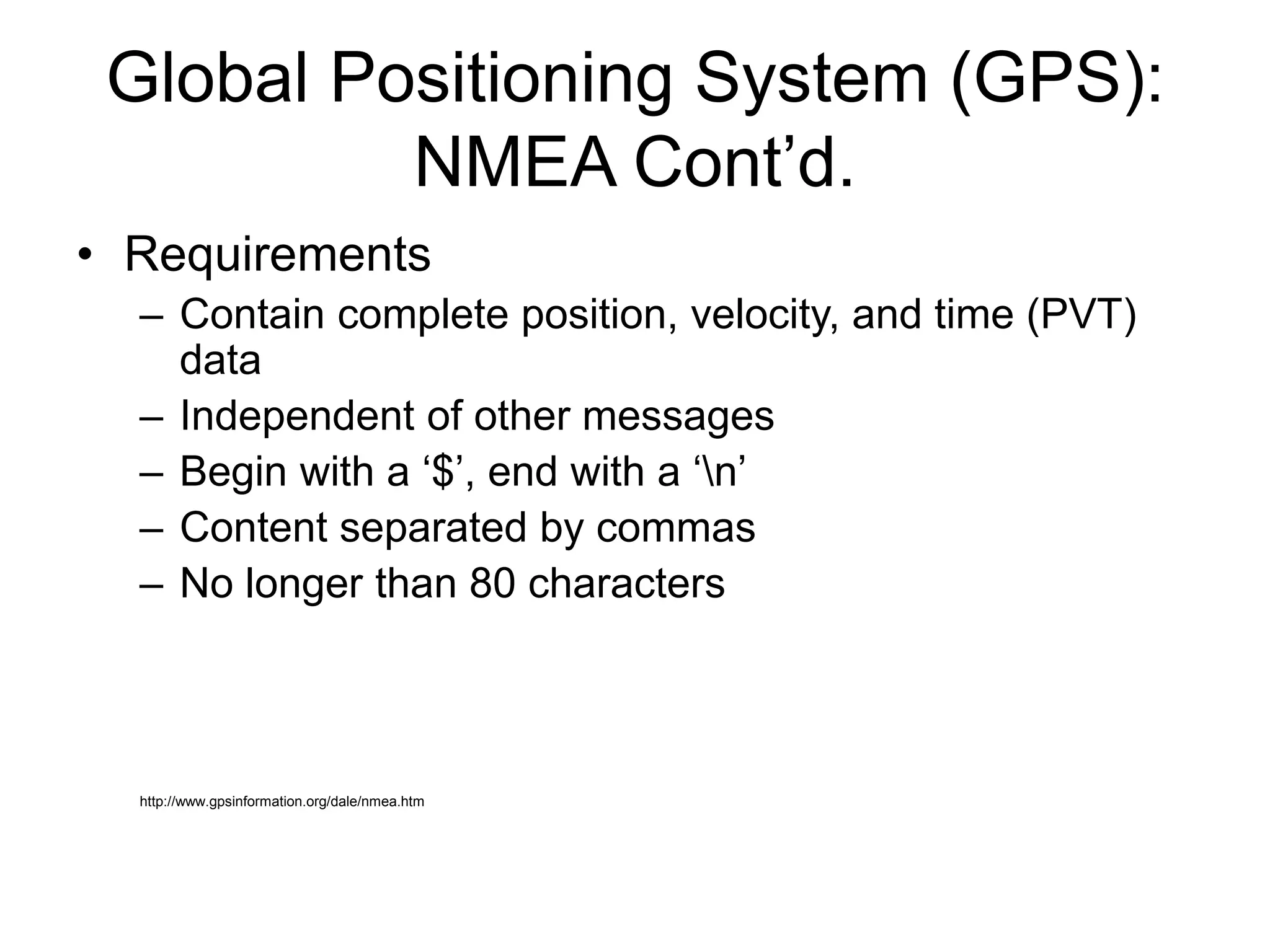
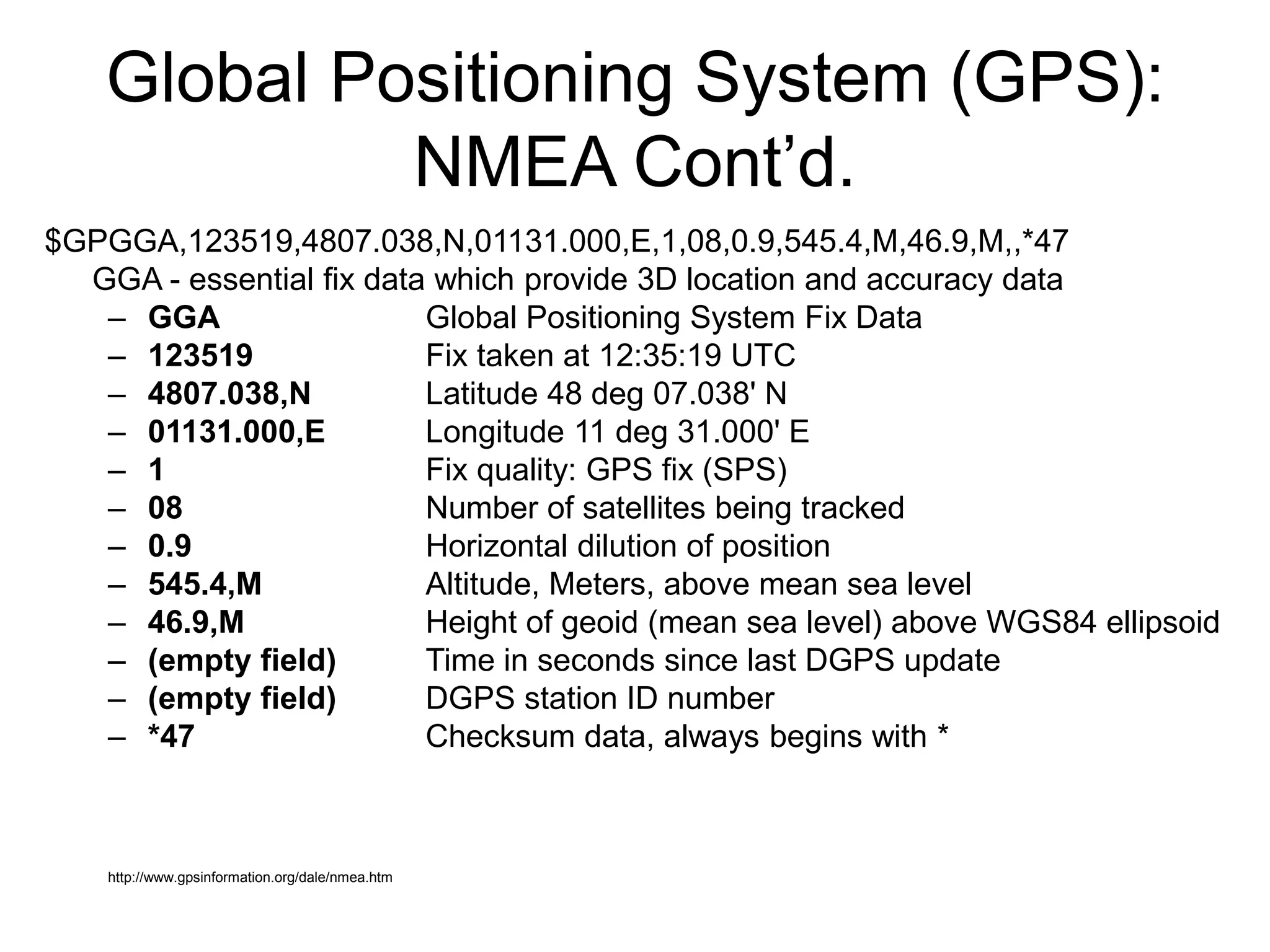
Background
• Accessibility
• Popularity of GPS and INS
– Cell phones
• Apple iPhone, Blackberry, Android platform
– Nintendo Wii
• Wii Remote, MotionPlus
Background: GPS
• First put into practical use in the
90’s. More commonly used in the 21st
century
• GPS is for navigation, syncing computer
networks time, missile guidance
• Some applications that make use of GPS
are Garmin’s, Google maps, mobile apps
• GPS satellites are maintained by the Air
force and can be used by anybody
Global Positioning System (GPS):
How it works
• At least 24 operational
GPS satellites in orbit
– 12 hour orbit
– 11,000 miles above
earth
– Atomic clock
• Oscillations of a single
atom to determine time
– Synchronized, send
signals at same time
http://en.wikipedia.org/wiki/Gps
Global Positioning System (GPS):
How it works cont’d.
• Satellites send data to earth which are picked up by a
receiver
• Signals arrive at different times based on the distance from
the satellite
– L1 (1575.42 MHz)
• Receiver needs to determine
distance to four satellites
– Determines 3-dimensional position
– Does not send out a signal
• But how does the receiver determine
its distance from each satellite?
Global Positioning System (GPS):
How it works cont’d.
• To calculate distance:
– Distance = Speed * Time
• Speed ≈ Speed of Light
• How to determine time?
– GPS receiver’s clock becomes synchronized to Coordinated
Universal Time by tracking four or more satellites
– Each satellite transmits a unique “pseudo random” code at
extremely precise time intervals
– Receiver knows each satellite’s pseudo random code and when
they are sent
– Receiver determines the time delay it takes to match the expected
satellite pseudo random code with the received pseudo random
code
• Time Delay = Time!
Global Positioning System (GPS):
Sources of Error
• Speed of light is only a constant in a vacuum
– Atmospheric
• Charged Particles in the Ionosphere
• Water Molecules in the Troposphere
• Ephemeris errors
– Error that effects the satellite’s orbit (ephemeris)
– Caused by the gravitational pull of the sun, moon, and the
pressure caused by solar radiation
– Error monitored by the Department of Defense (DoD) and
broadcasted to the GPS satellites
• Multipath Error
– Timing error from signals bouncing off of objects such as
buildings or mountains
– Can be reduced by signal rejection techniques
• How can we reduce errors caused by the atmosphere?
Global Positioning System (GPS):
Error Correction: DGPS
• DGPS = Differential GPS
• Basic Idea:
– Use known locations as reference locations
• Exact Position is known, compare to the location determined
by GPS
• Develop error correction data by using the difference of the
exact location and the GPS determined location
– Broadcast error correction data to local GPS
receivers (receivers within 200km of the reference
station)
– Error correction can remove errors caused by the
atmosphere—makes GPS data more accurate!
Global Positioning System (GPS):
Error Correction: WAAS
• Wide Area Augmentation System (WAAS)
– WAAS is an example of DGPS
– Also referred to as a Satellite Based Augmentation
System (SBAS)
– Developed by the Federal Aviation Administration
(FAA)
– Uses a network of ground based stations in North
America and Hawaii
– Measures variations in satellite signals
• Relays error to geostationary WAAS satellites
• Used to improve accuracy and integrity of data
– Independent systems being developed in Europe
(Galileo), Asia, and India.
Global Positioning System (GPS):
Applications
• Aerospace
• Automotive
• Military
• Civilian
– Recreation
– Augmented Reality
• The list goes on
Global Positioning System (GPS):
NMEA
• National Marine Electronics Association
0183 (NMEA)
– A standard which defines communication
between marine electronic devices
– Uses ASCII serial communication
• Can be read by the microcontroller over UART and
parsed appropriately
– Defines message content
http://www.gpsinformation.org/dale/nmea.htm
Global Positioning System (GPS):
NMEA Cont’d.
• Requirements
– Contain complete position, velocity, and time (PVT)
data
– Independent of other messages
– Begin with a ‘$’, end with a ‘n’
– Content separated by commas
– No longer than 80 characters
http://www.gpsinformation.org/dale/nmea.htm
Global Positioning System (GPS):
NMEA Cont’d.
$GPGGA,123519,4807.038,N,01131.000,E,1,08,0.9,545.4,M,46.9,M,,*47
GGA - essential fix data which provide 3D location and accuracy data
– GGA Global Positioning System Fix Data
– 123519 Fix taken at 12:35:19 UTC
– 4807.038,N Latitude 48 deg 07.038' N
– 01131.000,E Longitude 11 deg 31.000' E
– 1 Fix quality: GPS fix (SPS)
– 08 Number of satellites being tracked
– 0.9 Horizontal dilution of position
– 545.4,M Altitude, Meters, above mean sea level
– 46.9,M Height of geoid (mean sea level) above WGS84 ellipsoid
– (empty field) Time in seconds since last DGPS update
– (empty field) DGPS station ID number
– *47 Checksum data, always begins with *
http://www.gpsinformation.org/dale/nmea.htm

480 GPS Tech mobile computing presentation

  • 1.
    Background • Accessibility • Popularityof GPS and INS – Cell phones • Apple iPhone, Blackberry, Android platform – Nintendo Wii • Wii Remote, MotionPlus
  • 2.
    Background: GPS • Firstput into practical use in the 90’s. More commonly used in the 21st century • GPS is for navigation, syncing computer networks time, missile guidance • Some applications that make use of GPS are Garmin’s, Google maps, mobile apps • GPS satellites are maintained by the Air force and can be used by anybody
  • 3.
    Global Positioning System(GPS): How it works • At least 24 operational GPS satellites in orbit – 12 hour orbit – 11,000 miles above earth – Atomic clock • Oscillations of a single atom to determine time – Synchronized, send signals at same time http://en.wikipedia.org/wiki/Gps
  • 4.
    Global Positioning System(GPS): How it works cont’d. • Satellites send data to earth which are picked up by a receiver • Signals arrive at different times based on the distance from the satellite – L1 (1575.42 MHz) • Receiver needs to determine distance to four satellites – Determines 3-dimensional position – Does not send out a signal • But how does the receiver determine its distance from each satellite?
  • 5.
    Global Positioning System(GPS): How it works cont’d. • To calculate distance: – Distance = Speed * Time • Speed ≈ Speed of Light • How to determine time? – GPS receiver’s clock becomes synchronized to Coordinated Universal Time by tracking four or more satellites – Each satellite transmits a unique “pseudo random” code at extremely precise time intervals – Receiver knows each satellite’s pseudo random code and when they are sent – Receiver determines the time delay it takes to match the expected satellite pseudo random code with the received pseudo random code • Time Delay = Time!
  • 6.
    Global Positioning System(GPS): Sources of Error • Speed of light is only a constant in a vacuum – Atmospheric • Charged Particles in the Ionosphere • Water Molecules in the Troposphere • Ephemeris errors – Error that effects the satellite’s orbit (ephemeris) – Caused by the gravitational pull of the sun, moon, and the pressure caused by solar radiation – Error monitored by the Department of Defense (DoD) and broadcasted to the GPS satellites • Multipath Error – Timing error from signals bouncing off of objects such as buildings or mountains – Can be reduced by signal rejection techniques • How can we reduce errors caused by the atmosphere?
  • 7.
    Global Positioning System(GPS): Error Correction: DGPS • DGPS = Differential GPS • Basic Idea: – Use known locations as reference locations • Exact Position is known, compare to the location determined by GPS • Develop error correction data by using the difference of the exact location and the GPS determined location – Broadcast error correction data to local GPS receivers (receivers within 200km of the reference station) – Error correction can remove errors caused by the atmosphere—makes GPS data more accurate!
  • 8.
    Global Positioning System(GPS): Error Correction: WAAS • Wide Area Augmentation System (WAAS) – WAAS is an example of DGPS – Also referred to as a Satellite Based Augmentation System (SBAS) – Developed by the Federal Aviation Administration (FAA) – Uses a network of ground based stations in North America and Hawaii – Measures variations in satellite signals • Relays error to geostationary WAAS satellites • Used to improve accuracy and integrity of data – Independent systems being developed in Europe (Galileo), Asia, and India.
  • 9.
    Global Positioning System(GPS): Applications • Aerospace • Automotive • Military • Civilian – Recreation – Augmented Reality • The list goes on
  • 10.
    Global Positioning System(GPS): NMEA • National Marine Electronics Association 0183 (NMEA) – A standard which defines communication between marine electronic devices – Uses ASCII serial communication • Can be read by the microcontroller over UART and parsed appropriately – Defines message content http://www.gpsinformation.org/dale/nmea.htm
  • 11.
    Global Positioning System(GPS): NMEA Cont’d. • Requirements – Contain complete position, velocity, and time (PVT) data – Independent of other messages – Begin with a ‘$’, end with a ‘n’ – Content separated by commas – No longer than 80 characters http://www.gpsinformation.org/dale/nmea.htm
  • 12.
    Global Positioning System(GPS): NMEA Cont’d. $GPGGA,123519,4807.038,N,01131.000,E,1,08,0.9,545.4,M,46.9,M,,*47 GGA - essential fix data which provide 3D location and accuracy data – GGA Global Positioning System Fix Data – 123519 Fix taken at 12:35:19 UTC – 4807.038,N Latitude 48 deg 07.038' N – 01131.000,E Longitude 11 deg 31.000' E – 1 Fix quality: GPS fix (SPS) – 08 Number of satellites being tracked – 0.9 Horizontal dilution of position – 545.4,M Altitude, Meters, above mean sea level – 46.9,M Height of geoid (mean sea level) above WGS84 ellipsoid – (empty field) Time in seconds since last DGPS update – (empty field) DGPS station ID number – *47 Checksum data, always begins with * http://www.gpsinformation.org/dale/nmea.htm