

![Direction: most maps show an arrow marked with the letter [N] at the upper right hand corner. It means ‘North’ we can find out the other direction East, West and South. The Uses of Maps.](https://image.slidesharecdn.com/jatinmappingindia-110928064819-phpapp01/85/Jatin-mapping-india-7-320.jpg)
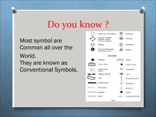

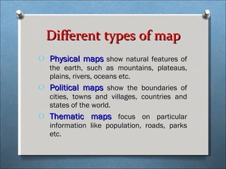
Maps provide different types of information depending on their purpose. Physical maps show natural features, political maps show boundaries, and thematic maps focus on particular data like population or roads. The Survey of India prepares all maps of India. To understand maps, one must know the basic components like direction, scale, colors, and symbols. Direction is usually shown with an arrow labeled N for North. Scale indicates the ratio between actual and reduced distances on a map. Standard colors represent features - blue for water, green for plains. Symbols use simple drawings to represent things like buildings or roads in a small space. Most symbols are common worldwide conventions.


