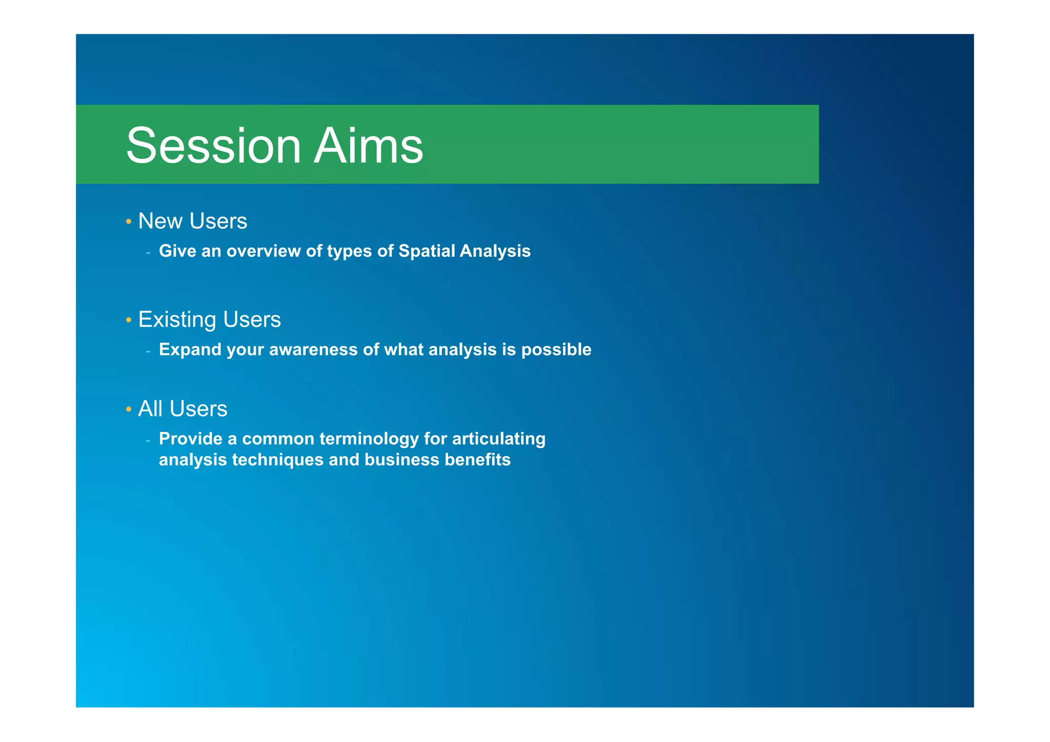
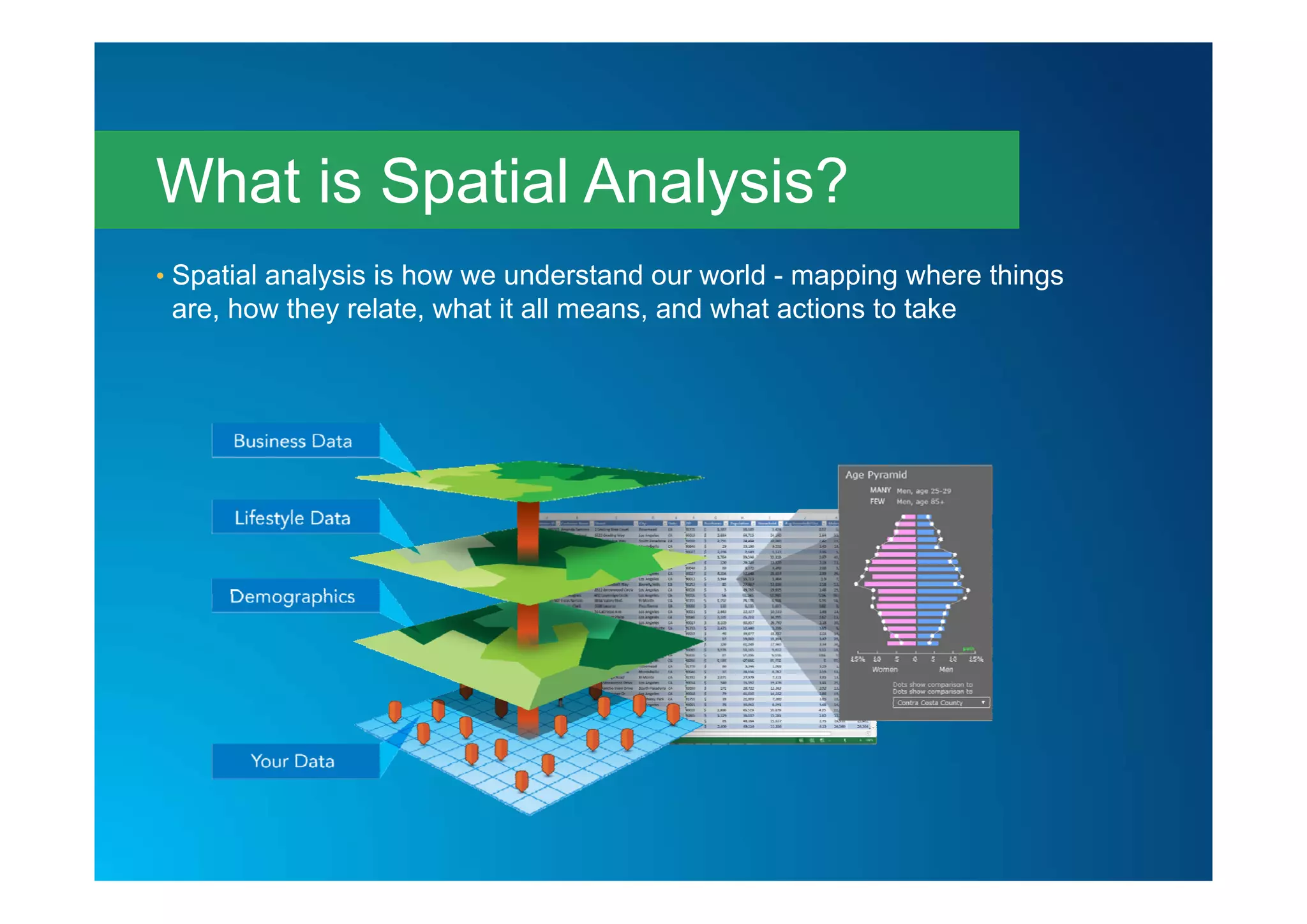
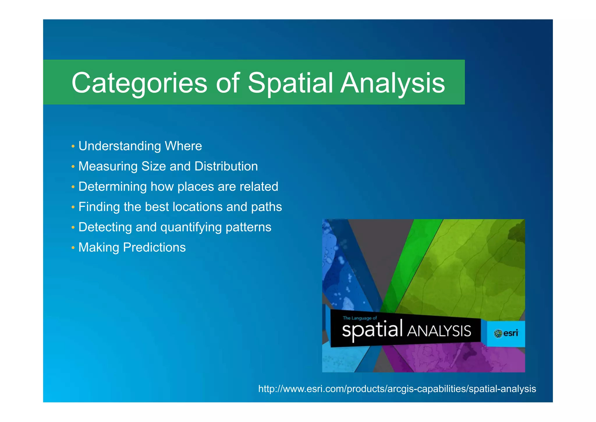
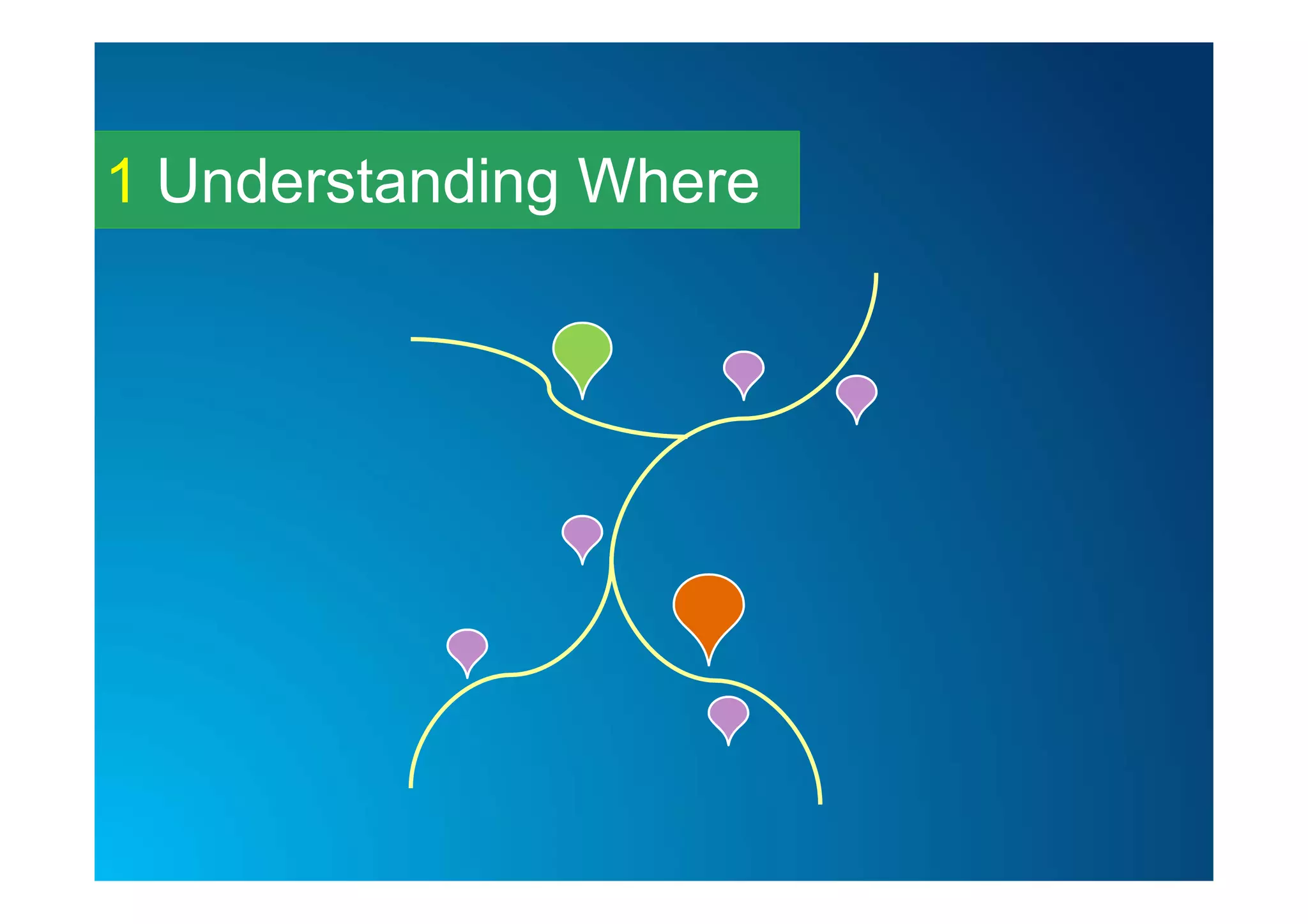
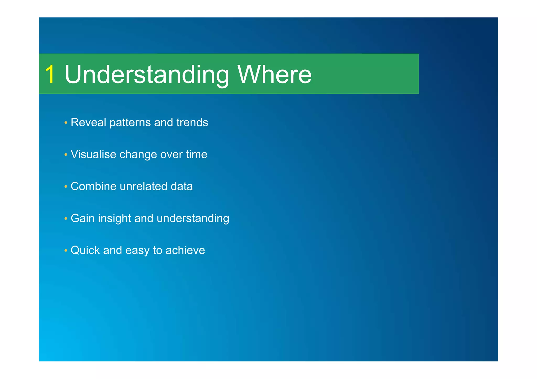
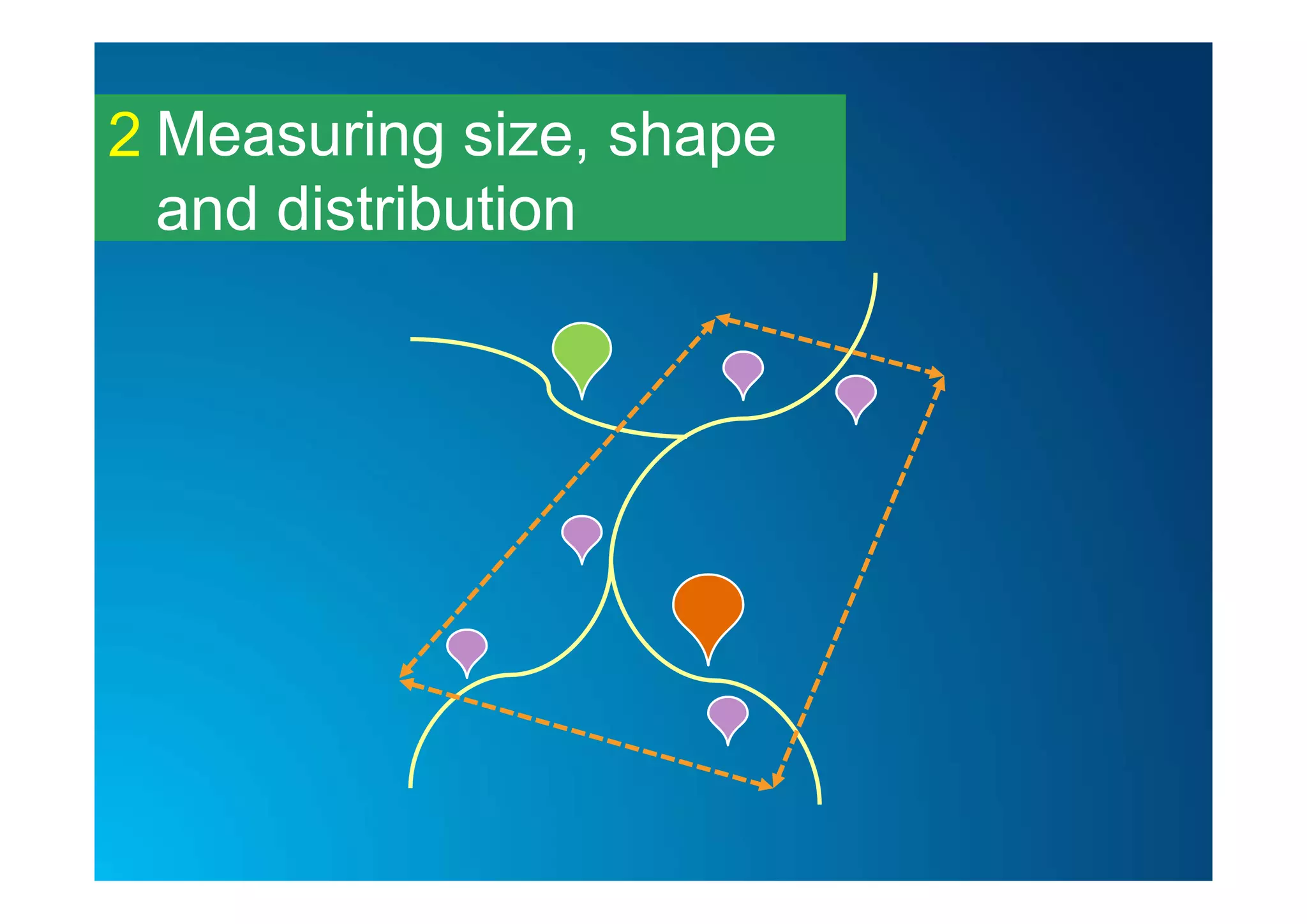
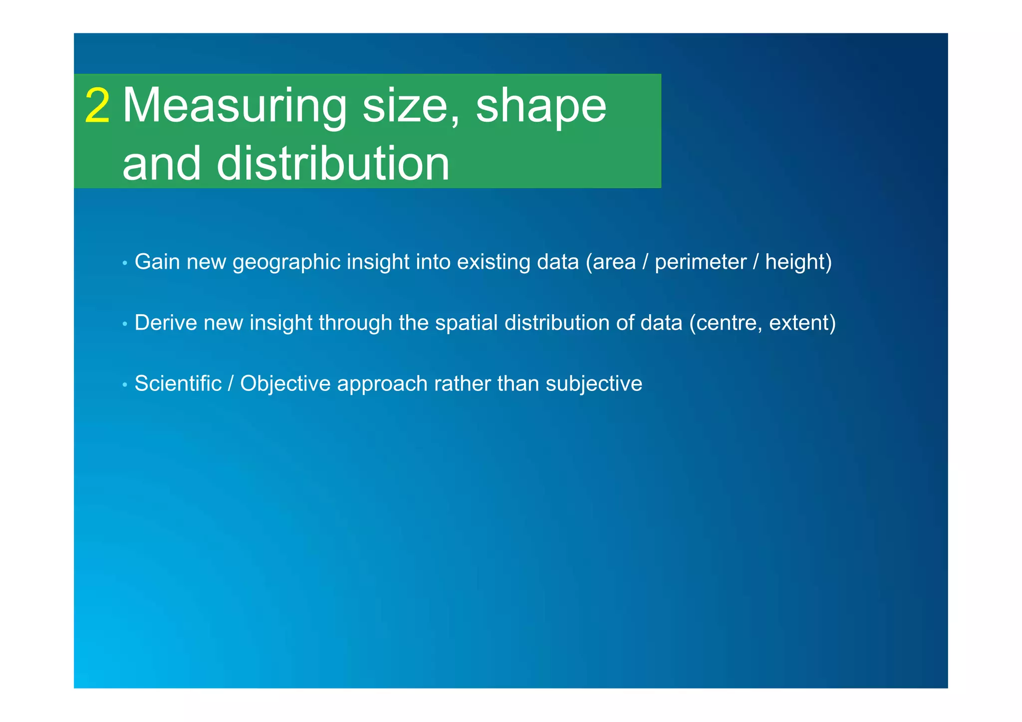
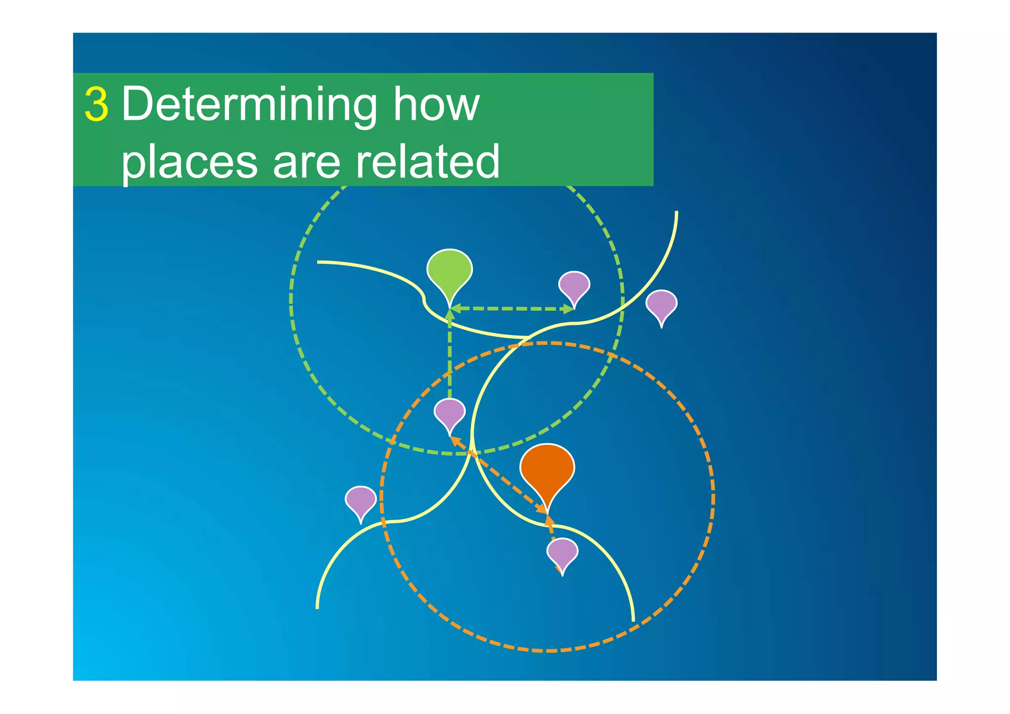
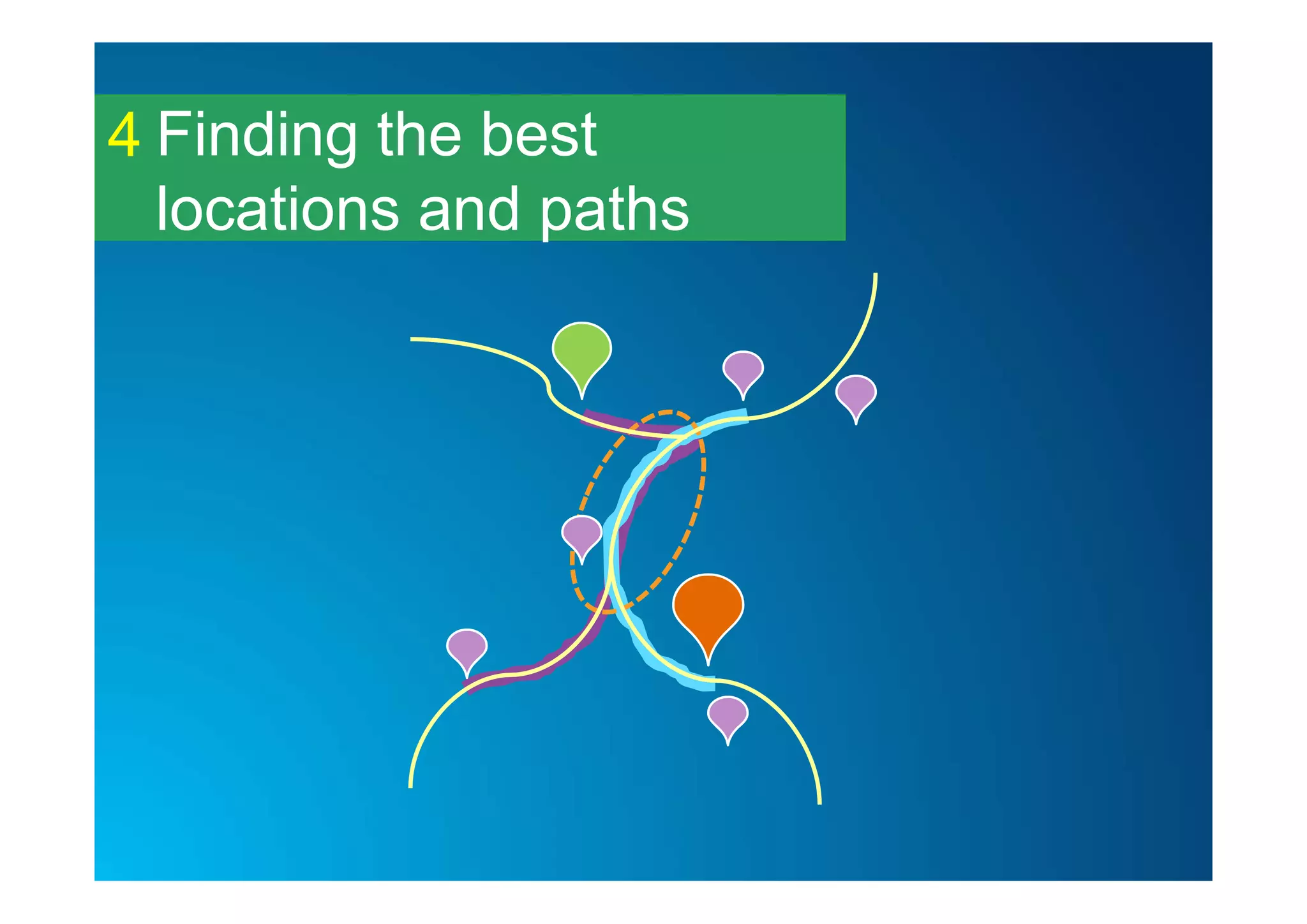
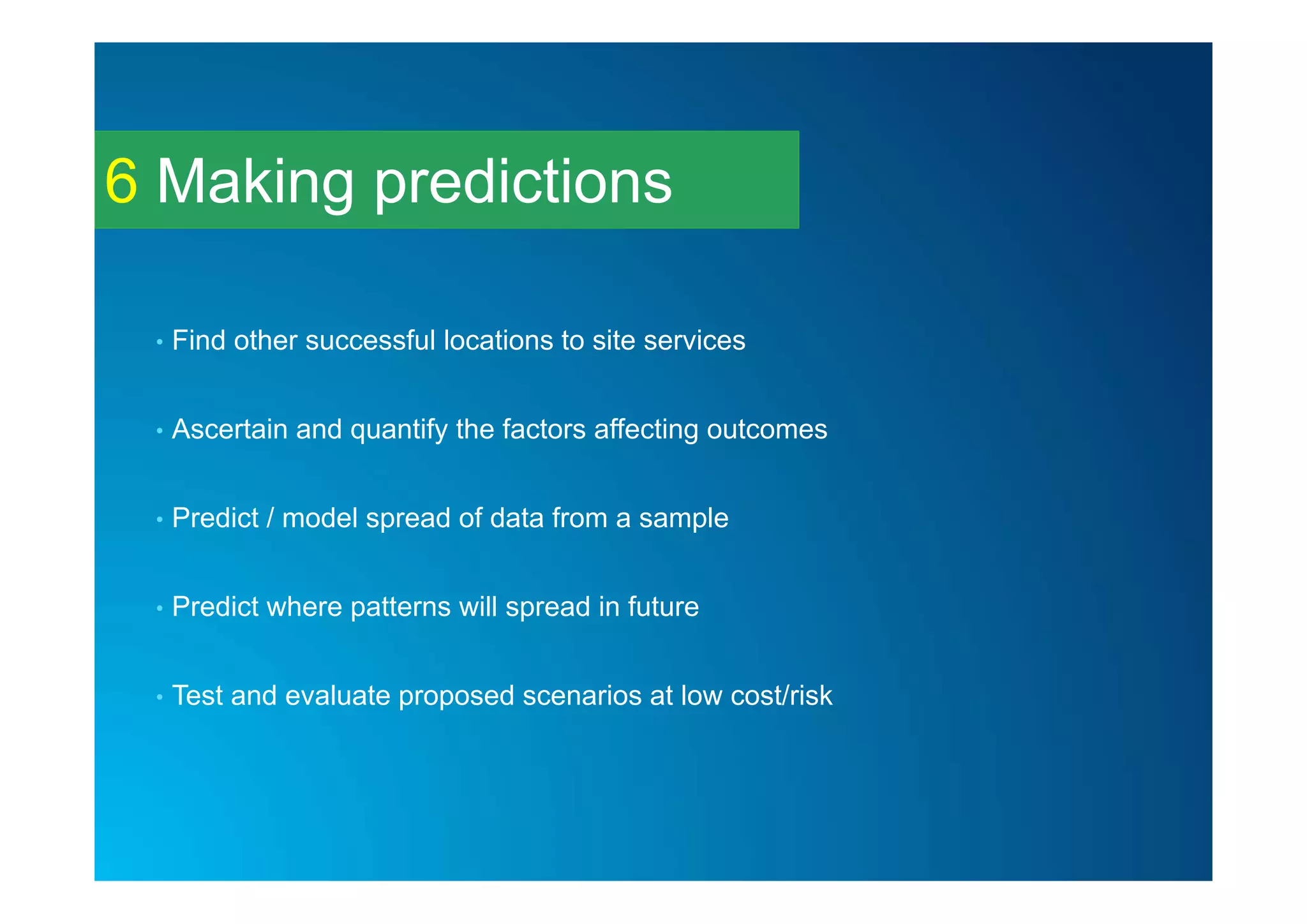
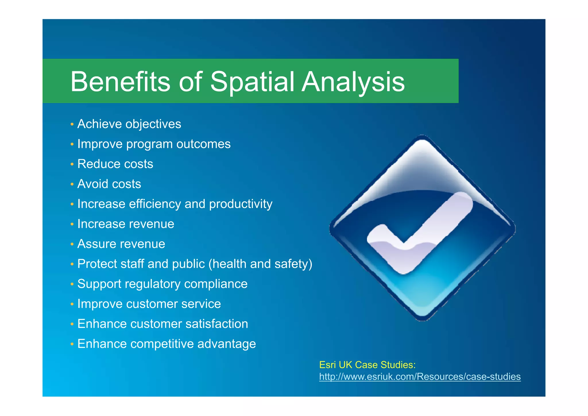
Esri UK Annual Conference 2015
Understanding
Spatial Analysis
Robin Appleby & Daniel Cronin
Customer Success Consultants
• New Users
- Give an overview of types of Spatial Analysis
• Existing Users
- Expand your awareness of what analysis is possible
• All Users
- Provide a common terminology for articulating
analysis techniques and business benefits
Session Aims
• Spatial analysis is how we understand our world - mapping where things
are, how they relate, what it all means, and what actions to take
What is Spatial Analysis?
• Understanding Where
• Measuring Size and Distribution
• Determining how places are related
• Finding the best locations and paths
• Detecting and quantifying patterns
• Making Predictions
Categories of Spatial Analysis
http://www.esri.com/products/arcgis-capabilities/spatial-analysis
Understanding Where1
• Reveal patterns and trends
• Visualise change over time
• Combine unrelated data
• Gain insight and understanding
• Quick and easy to achieve
Measuring size, shape
and distribution
2
Measuring size, shape
and distribution
2
Measuring size, shape
and distribution
2
• Gain new geographic insight into existing data (area / perimeter / height)
• Derive new insight through the spatial distribution of data (centre, extent)
• Scientific / Objective approach rather than subjective
Determining how
places are related
3
Determining how
places are related
3
Determining how
places are related
3
• Answer specific geographic questions ‘where is my nearest, how many are
within?’ that would otherwise be impossible.
• Understand and measure impact of one dataset on another (insurance risk)
• Methodology for answering question can be shared with end users
Finding the best
locations and paths
4
Finding the best
locations and paths
4
Finding the best
locations and paths
4
• Scientifically ascertain most suitable locations based on measureable
criteria
• Calculate least cost routes to save mileage / costs
• Quickly understand the impact of disruptions to a network and respond
more appropriately.
Detecting and
quantifying patterns
5
Detecting and
quantifying patterns
5
Detecting and
quantifying patterns
5
• Objectively ascertain significance of patterns/trends in data – should I be
concerned?
• Better understand the processes affecting outcomes
• Understand significance of change over time
Making predictions6
Making predictions
10
5
?
?
?
6
Making predictions6
• Find other successful locations to site services
• Ascertain and quantify the factors affecting outcomes
• Predict / model spread of data from a sample
• Predict where patterns will spread in future
• Test and evaluate proposed scenarios at low cost/risk
• Understanding Where
• Measuring Size and Distribution
• Determining how places are related
• Finding the best locations and paths
• Detecting and quantifying patterns
• Making Predictions
Categories of Spatial Analysis
http://www.esri.com/products/arcgis-capabilities/spatial-analysis
• Achieve objectives
• Improve program outcomes
• Reduce costs
• Avoid costs
• Increase efficiency and productivity
• Increase revenue
• Assure revenue
• Protect staff and public (health and safety)
• Support regulatory compliance
• Improve customer service
• Enhance customer satisfaction
• Enhance competitive advantage
Benefits of Spatial Analysis
Esri UK Case Studies:
http://www.esriuk.com/Resources/case-studies
Robin Appleby
rappleby@esriuk.com
Daniel Cronin
dcronin@esriuk.com
Questions?
Esriuk_track3_esri spatial analysis presentation

Esriuk_track3_esri spatial analysis presentation

  • 1.
    Esri UK AnnualConference 2015 Understanding Spatial Analysis Robin Appleby & Daniel Cronin Customer Success Consultants
  • 2.
    • New Users -Give an overview of types of Spatial Analysis • Existing Users - Expand your awareness of what analysis is possible • All Users - Provide a common terminology for articulating analysis techniques and business benefits Session Aims
  • 3.
    • Spatial analysisis how we understand our world - mapping where things are, how they relate, what it all means, and what actions to take What is Spatial Analysis?
  • 4.
    • Understanding Where •Measuring Size and Distribution • Determining how places are related • Finding the best locations and paths • Detecting and quantifying patterns • Making Predictions Categories of Spatial Analysis http://www.esri.com/products/arcgis-capabilities/spatial-analysis
  • 5.
  • 6.
  • 7.
    Understanding Where1 • Revealpatterns and trends • Visualise change over time • Combine unrelated data • Gain insight and understanding • Quick and easy to achieve
  • 8.
  • 9.
  • 10.
    Measuring size, shape anddistribution 2 • Gain new geographic insight into existing data (area / perimeter / height) • Derive new insight through the spatial distribution of data (centre, extent) • Scientific / Objective approach rather than subjective
  • 11.
  • 12.
  • 13.
    Determining how places arerelated 3 • Answer specific geographic questions ‘where is my nearest, how many are within?’ that would otherwise be impossible. • Understand and measure impact of one dataset on another (insurance risk) • Methodology for answering question can be shared with end users
  • 14.
  • 15.
  • 16.
    Finding the best locationsand paths 4 • Scientifically ascertain most suitable locations based on measureable criteria • Calculate least cost routes to save mileage / costs • Quickly understand the impact of disruptions to a network and respond more appropriately.
  • 17.
  • 18.
  • 19.
    Detecting and quantifying patterns 5 •Objectively ascertain significance of patterns/trends in data – should I be concerned? • Better understand the processes affecting outcomes • Understand significance of change over time
  • 20.
  • 21.
  • 22.
    Making predictions6 • Findother successful locations to site services • Ascertain and quantify the factors affecting outcomes • Predict / model spread of data from a sample • Predict where patterns will spread in future • Test and evaluate proposed scenarios at low cost/risk
  • 23.
    • Understanding Where •Measuring Size and Distribution • Determining how places are related • Finding the best locations and paths • Detecting and quantifying patterns • Making Predictions Categories of Spatial Analysis http://www.esri.com/products/arcgis-capabilities/spatial-analysis
  • 24.
    • Achieve objectives •Improve program outcomes • Reduce costs • Avoid costs • Increase efficiency and productivity • Increase revenue • Assure revenue • Protect staff and public (health and safety) • Support regulatory compliance • Improve customer service • Enhance customer satisfaction • Enhance competitive advantage Benefits of Spatial Analysis Esri UK Case Studies: http://www.esriuk.com/Resources/case-studies
  • 25.