Download to read offline


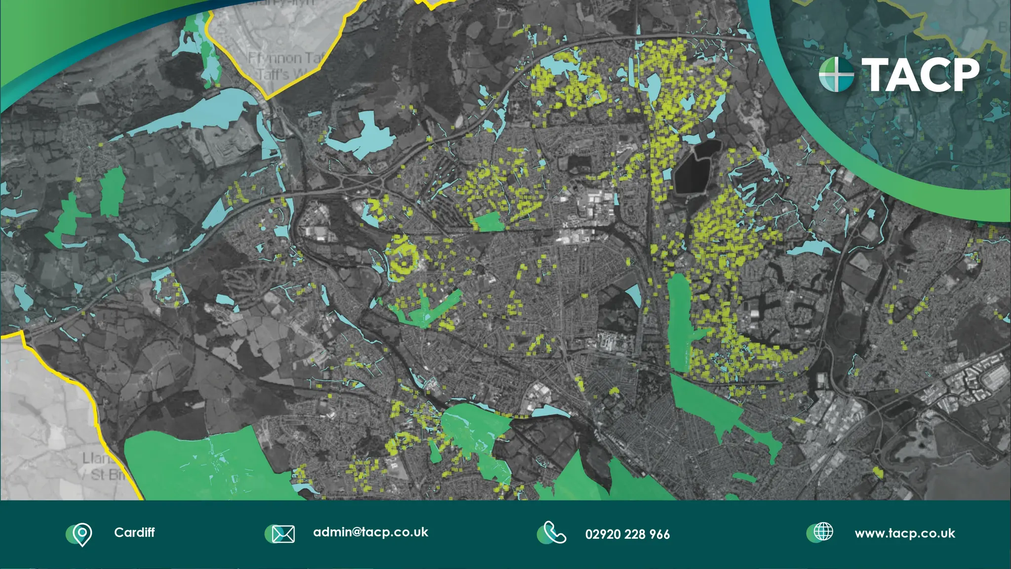


The document outlines TACP's approach to delivering sustainable development projects in landscape management, involving various ecological and environmental assessments across the UK and Europe. It emphasizes the use of ArcGIS technologies for collaboration, data analysis, and project management, highlighting specific projects and case studies such as the Banwell Bypass EIA. TACP showcases its extensive global experience while focusing on local collaboration to enhance project efficiency and informed decision-making.


