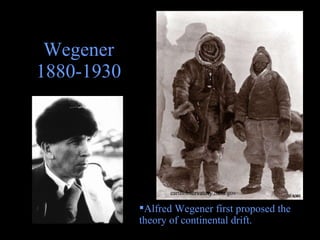
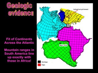
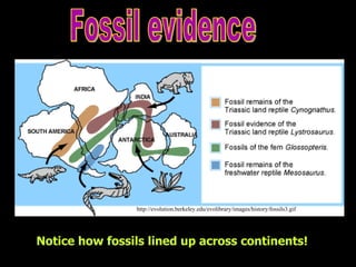
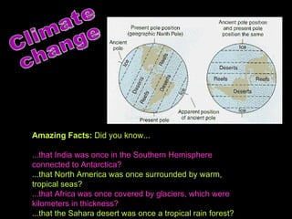
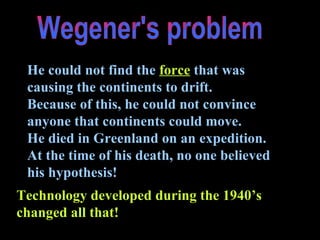
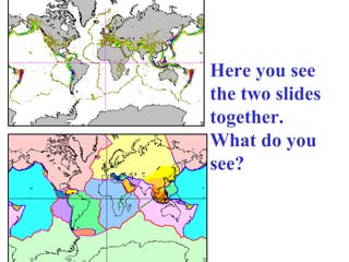
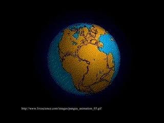
1) Alfred Wegener first proposed the theory of continental drift, which suggested that the continents were once joined together and have since drifted apart.
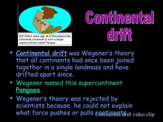
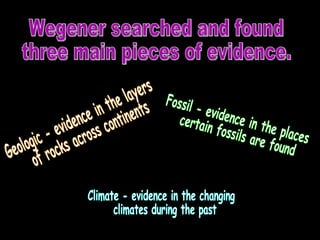
2) Wegener provided geological, fossil, and climate evidence to support his theory, but could not explain the force driving continental movement.
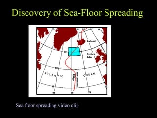
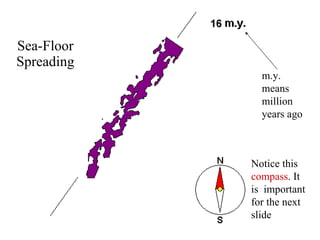
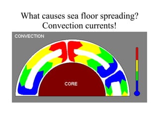
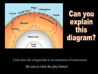
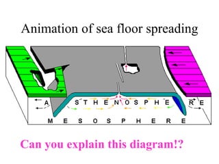
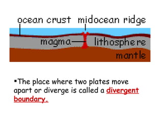
3) In the 1960s, the theory of plate tectonics was developed, explaining that convection currents in the mantle cause the movement of tectonic plates, resolving the issue that prevented acceptance of Wegener's theory.


![Solar eclipse[1]](https://cdn.slidesharecdn.com/ss_thumbnails/solareclipse1-100322114339-phpapp02-thumbnail.jpg?width=640&height=640&fit=bounds)
![Moon phases[1]](https://cdn.slidesharecdn.com/ss_thumbnails/moonphases1-100322114334-phpapp02-thumbnail.jpg?width=640&height=640&fit=bounds)


