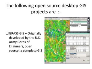
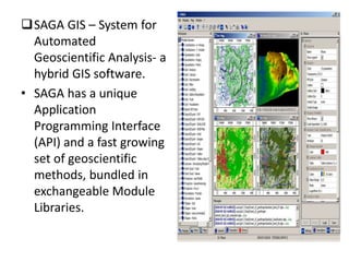
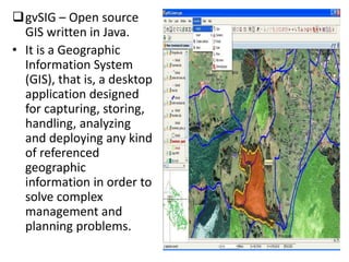
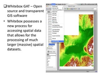
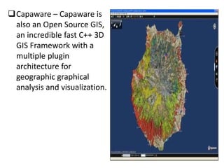
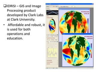
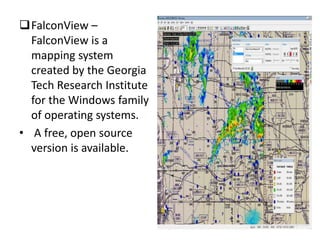
This document lists and describes several open source GIS and remote sensing software packages. It discusses desktop GIS programs like GRASS GIS and gvSIG that provide tools for spatial data analysis. It also outlines remote sensing software for processing satellite imagery, including SAGA GIS, Opticks, GRASS, PolSARPro, ORFEO, OSSIM, and ILWIS, that support functions like image classification, filtering, and change detection. Many of these programs offer large libraries of processing modules and capabilities for handling different data formats and projections.