Download to read offline
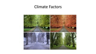
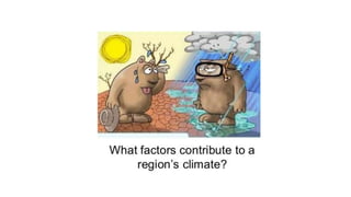
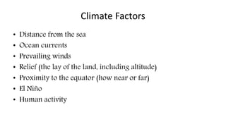
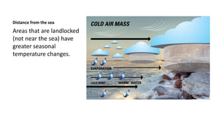
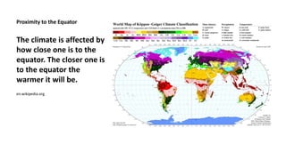
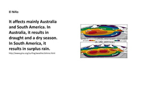
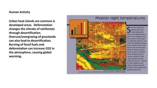
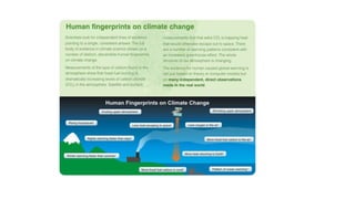
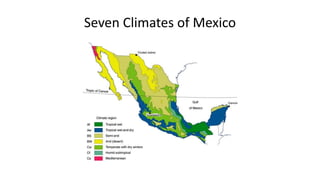

The document outlines various climate factors, including distance from the sea, ocean currents, prevailing winds, relief, proximity to the equator, El Niño, and human activity, which all influence temperature and weather patterns. It discusses how these factors lead to seasonal temperature changes in landlocked areas versus coastal regions and highlights the effects of climate change caused by human actions. Additionally, it presents the complexity of classifying Mexico's climates using the Köppen system due to its diverse landscapes, resulting in seven main climate regions.


![Koppen classification and land area characteristics [autosaved]](https://cdn.slidesharecdn.com/ss_thumbnails/koppenclassificationandlandareacharacteristicsautosaved-210129205232-thumbnail.jpg?width=640&height=640&fit=bounds)


