Download to read offline


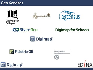
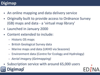
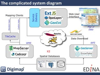


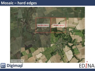
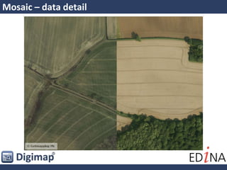
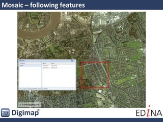


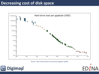
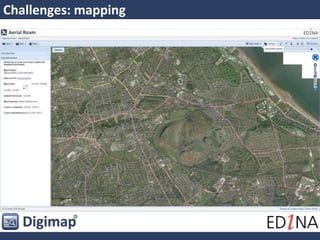
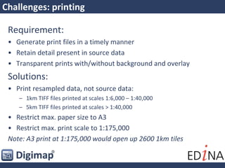

Big Just Got Bigger! discusses the challenges of managing large map collections through the Digimap service. Digimap provides access to geospatial data from various sources, including Ordnance Survey, British Geological Survey, aerial imagery, and more. It has grown significantly over time to include more data sources and users. Managing such large datasets and meeting user expectations of current data and performance presents challenges. Issues include keeping data current while sharing across platforms, disk storage needs increasing exponentially over time, and ensuring data can be accessed and used through various tools and formats.


