Download to read offline
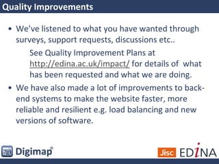
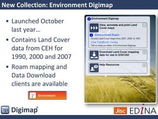

The document outlines updates and enhancements to Geo and Digimap services, including improved backend systems, new data collections, and interface changes for user experience. Key improvements include a new printable layout and legends, a new data client for geology, and future data integration efforts. Additional services and projects are mentioned, focusing on accessibility, user feedback, and long-term goals for better data utility and support.