Download to read offline

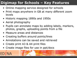

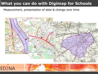
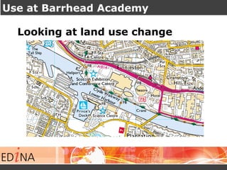
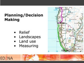
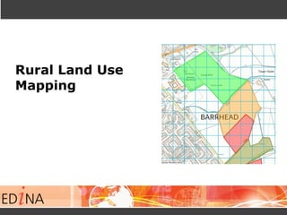
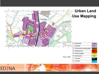
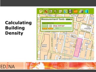
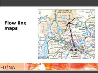
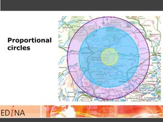
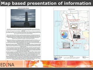
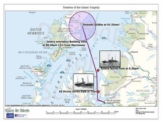

This document provides an introduction to Digimap for Schools, an online mapping service designed for use in UK schools. It highlights key features such as access to historic maps from the 1890s and 1950s, aerial photography, and tools for annotating, measuring, and analyzing maps. Schools subscribe to the service, which allows unlimited users per school to access maps and tools through a web browser on any device. The presenter emphasizes how Digimap for Schools can support teaching and learning across the Scottish curriculum, particularly for geography, by facilitating hands-on activities with maps, data, and spatial analysis. Examples are given of how schools have used the service for topics like land use change, density calculations, and proportional mapping. Teachers observing the presentation


